Redcliff Bay

Bay in Somerset

England

Redcliff Bay

Track looking toward Weston Down
Track looking toward Weston Down Credit: Adrian and Janet Quantock

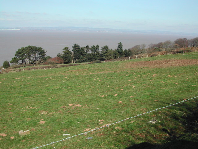
Redcliff Bay is a stunning coastal area located in Somerset, England. Situated on the Bristol Channel, this bay offers breathtaking views of the surrounding landscape. With its picturesque cliffs, sandy beach, and crystal-clear waters, Redcliff Bay is a popular destination for locals and tourists alike.

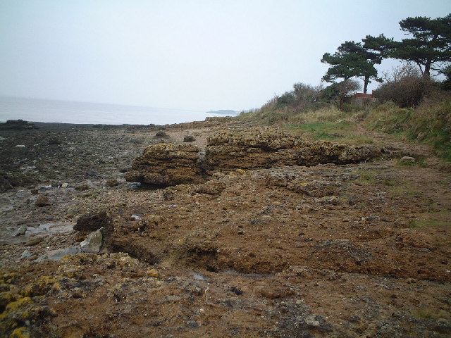
The bay is known for its impressive geological features, including a series of red sandstone cliffs that give it its name. These cliffs not only add to the natural beauty of the area but also provide a unique backdrop for visitors. The beach itself stretches for a considerable distance, offering plenty of space for sunbathing, picnicking, and beach games.

Redcliff Bay is also home to a rich variety of wildlife, making it an ideal spot for nature enthusiasts. Birdwatchers will be delighted by the diverse range of species that can be found in the area, including gulls, cormorants, and even the occasional peregrine falcon. The bay is also a haven for marine life, with sightings of seals and dolphins reported by lucky visitors.

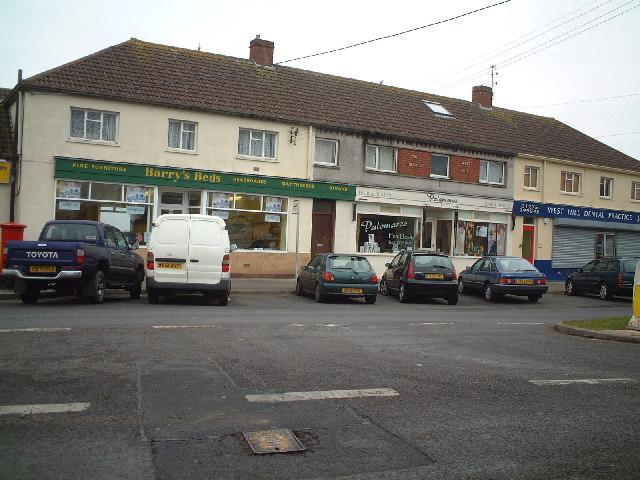
In addition to its natural attractions, Redcliff Bay offers a range of amenities for visitors. There are various cafes, restaurants, and shops in the nearby village, providing opportunities for refreshments and souvenirs. The bay is easily accessible by road, with ample parking available for those arriving by car.

Overall, Redcliff Bay is a true gem on the Somerset coastline. Its stunning scenery, diverse wildlife, and convenient amenities make it a must-visit destination for anyone seeking a memorable seaside experience.

If you have any feedback on the listing, please let us know in the comments section below.
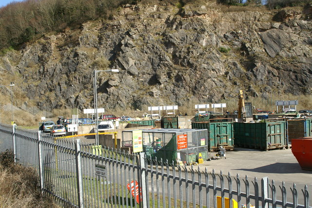
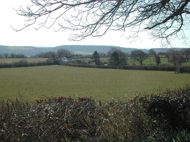
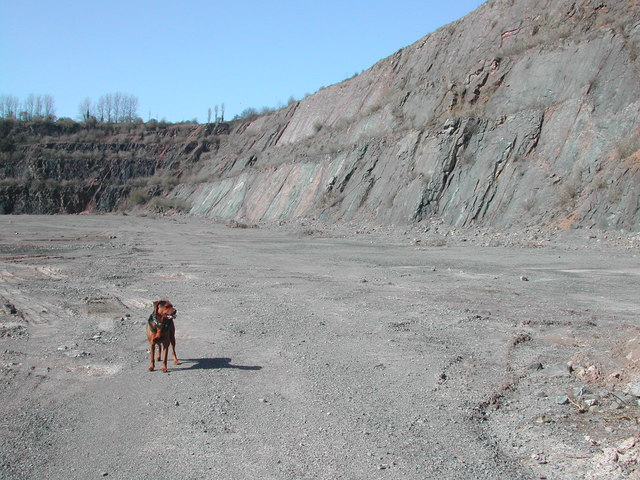
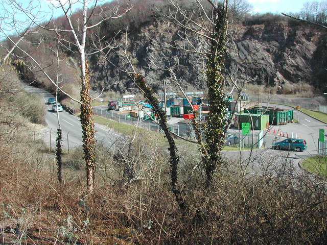
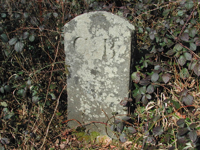
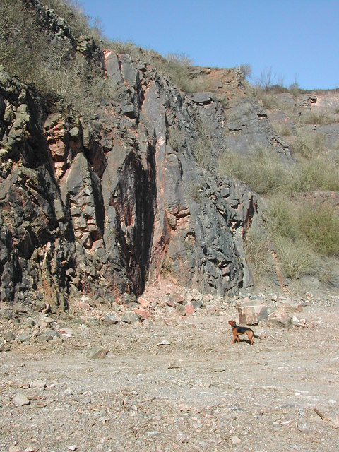
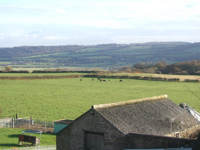
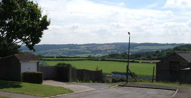
Redcliff Bay Images

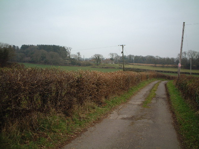
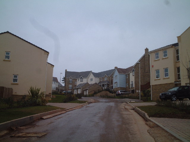
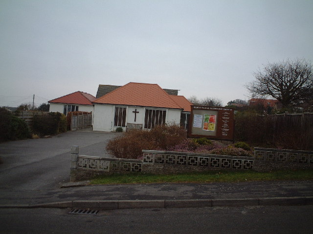
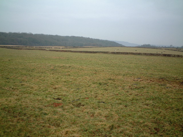
Images are sourced within 2km of 51.477939/-2.8119573 or Grid Reference ST4375. Thanks to Geograph Open Source API. All images are credited.

Track looking toward Weston Down
Charlcombe Rise. New houses at Charlcombe Rise
Charlcombe Rise.
New houses at Charlcombe Rise
Redcliff Bay Methodist Church
Portishead Down.
Portishead Down.
Shops at Triangle Shops at the triangle West Hill
Shops at Triangle
Shops at the triangle West Hill
Black Nore Seashore There was once at lighthouse near by.
Black Nore Seashore
There was once at lighthouse near by.
St Peter & St Paul Church Weston in Gordano A Plaque inside the vestibule states...
"A clock was erected in the church tower by Rector of this Parish Thomas Hartley-Jackson, M.A.Hon:C.F. as a gift to commemorate the Coronation of Her Majesty Queen Elizabeth II. June-1953"
St Peter & St Paul Church Weston in Gordano
A Plaque inside the vestibule states... "A clock was erected in the church tower by Rector of this Parish Thomas Hartley-Jackson, M.A.Hon:C.F. as a gift to commemorate the Coronation of Her Majesty Queen Elizabeth II. June-1953"
Dead Fridges Black Rock Quarry, Civic Amenity Site, Portishead.
Dead Fridges
Black Rock Quarry, Civic Amenity Site, Portishead.
Portishead Dump. Black Rock Quarry, Civic Amenity Site, Portishead.
Portishead Dump.
Black Rock Quarry, Civic Amenity Site, Portishead.
Black Rocks Quarry Now closed - from North West end looking East
Black Rocks Quarry
Now closed - from North West end looking East
South across grid square Black Rock Quarry is behind second field at left of picture
South across grid square
Black Rock Quarry is behind second field at left of picture
Black Rocks Quarry East end looking Westwards
Black Rocks Quarry
East end looking Westwards
Civic Amenity/Recycling site Eastern section of Black Rocks Quarry
Civic Amenity/Recycling site
Eastern section of Black Rocks Quarry
Channel view Looking due North over the Severn Estuary - Welsh mountains in the distance
Channel view
Looking due North over the Severn Estuary - Welsh mountains in the distance
Weston Big Wood - Boundary Stone See if you can find this - set your GPS to ST 45421 74967
Weston Big Wood - Boundary Stone
See if you can find this - set your GPS to ST 45421 74967
Sheer cliffs West end of Black Rock Quarry
Sheer cliffs
West end of Black Rock Quarry
Gordano Valley from Hill Top
Gordano Valley from Tower Road
Show me another place!

Redcliff Bay is located at Grid Ref: ST4375 (Lat: 51.477939, Lng: -2.8119573)

Unitary Authority: North Somerset

Police Authority: Avon and Somerset

What 3 Words

///hook.weds.access. Near Portishead, Somerset

Nearby Locations

Redcliff Bay Hang Rock

Related Wikis

Redcliffe Bay

Redcliffe Bay is a large area of Portishead — a town in North Somerset, England — with most houses having views of the Bristol Channel. Despite its size...

Black Nore Lighthouse

Black Nore Lighthouse (also known as Blacknore Point Lighthouse) at Portishead, Somerset, England, was built in 1894. It is a Grade II listed building...

National Nautical School

The National Nautical School in Portishead, within the English county of Somerset, was created in 1869 for destitute and neglected boys of Bristol. It...

Nightingale Valley

Nightingale Valley (grid reference ST449751) is a 5.4 hectare geological Site of Special Scientific Interest near the town of Portishead, North Somerset...

Nearby Amenities

Located within 500m of 51.477939,-2.8119573
Source: PGS
Lat/Long: 51.48027/-2.8074977
Source: PGS
Lat/Long: 51.4801371/-2.8076839
Source: PGS
Lat/Long: 51.4796118/-2.8082514
Source: PGS
Lat/Long: 51.4795343/-2.8088761
Source: PGS
Lat/Long: 51.4792266/-2.8091486
Source: PGS
Lat/Long: 51.4789807/-2.8094833
Source: PGS
Lat/Long: 51.4774091/-2.8111742
Source: PGS
Lat/Long: 51.4772861/-2.8115862
Source: PGS
Lat/Long: 51.4771953/-2.8118094
Source: PGS
Lat/Long: 51.476915/-2.812193
Source: PGS
Lat/Long: 51.4765805/-2.812702
Source: PGS
Lat/Long: 51.4762758/-2.8130968
Source: PGS
Lat/Long: 51.4757626/-2.8136461
Source: PGS
Lat/Long: 51.4755808/-2.8138521
Source: PGS
Lat/Long: 51.4752387/-2.8149508
Source: PGS
Lat/Long: 51.4748319/-2.8151023
Source: PGS
Lat/Long: 51.4745223/-2.8157318
Bus Stop
Hillcrest Road
Bench: yes
Bin: no
Bus: yes
Lit: yes
Naptan AtcoCode: 0190NSC30893
Naptan Bearing: N
Naptan CommonName: Hillcrest Road
Naptan Crossing: Newhaven Place
Naptan NaptanCode: wsmgatp
Naptan Street: Nore Road
Naptan Verified: no
Public Transport: platform
Shelter: yes
Source: naptan_import
Tactile Paving: no
Lat/Long: 51.4774003/-2.804896
Bus Stop
Pembroke Road
Bus: yes
Naptan AtcoCode: 0190NSY38482
Naptan Bearing: SW
Naptan CommonName: Pembroke Road
Naptan NaptanCode: wsmgapg
Naptan Street: Pembroke Road
Naptan Verified: no
Public Transport: platform
Source: naptan_import
Lat/Long: 51.4755451/-2.8072921
Redcliff Bay
Is In: North Somerset, England, UK
Natural: bay
Source: OS 1:25k
Wikidata: Q31844998
Lat/Long: 51.4785951/-2.8116896
Crossing
Crossing: unmarked
Crossing Island: no
Crossing Markings: no
Tactile Paving: yes
Lat/Long: 51.4771695/-2.8050615
Barrier: kerb
Kerb: yes
Wheelchair: no
Lat/Long: 51.4782606/-2.8079921
Post Box
Check Date Collection Times: 2023-01-29
Collection Times: Mo-Fr 17:45; Sa 11:45
Drive Through: no
Operator: Royal Mail
Operator Wikidata: Q638098
Post Box Type: pillar
Ref: BS20 307
Royal Cypher: EIIR
Royal Cypher Wikidata: Q33102113
Lat/Long: 51.4772131/-2.8050333
Bench
Backrest: yes
Lat/Long: 51.4764962/-2.8122693
Bench
Backrest: yes
Lat/Long: 51.4794039/-2.8084362
Bench
Backrest: yes
Lat/Long: 51.4787041/-2.8093551
Redcliffe Bay
Is In: Portishead
Place: suburb
Source: OS OpenData StreetView
Wikidata: Q28407600
Wikipedia: en:Redcliffe Bay
Lat/Long: 51.4769962/-2.8080475
Grit Bin
Colour: yellow
Material: plastic
Lat/Long: 51.4796429/-2.8075926
Grit Bin
Lat/Long: 51.4752365/-2.8077937
Bench
Lat/Long: 51.4762587/-2.808005
Polling Station
Polling Station: yes
Lat/Long: 51.4768958/-2.8065462
Street Lamp
Support: pole
Lat/Long: 51.4735704/-2.8125483
Street Lamp
Support: pole
Lat/Long: 51.4737771/-2.8125138
Street Lamp
Support: pole
Lat/Long: 51.4739287/-2.8120306
Street Lamp
Support: pole
Lat/Long: 51.4742126/-2.8115475
Street Lamp
Support: pole
Lat/Long: 51.4745499/-2.8111236
Street Lamp
Support: pole
Lat/Long: 51.4749727/-2.8110218
Street Lamp
Support: pole
Lat/Long: 51.4754075/-2.8110262
Street Lamp
Support: pole
Lat/Long: 51.4757995/-2.8113541
Street Lamp
Support: pole
Lat/Long: 51.4751866/-2.812185
Street Lamp
Support: pole
Lat/Long: 51.4759486/-2.8121861
Street Lamp
Support: pole
Lat/Long: 51.4762855/-2.8121944
Street Lamp
Support: pole
Lat/Long: 51.4762583/-2.8125798
Siren
Emergency: siren
Operator: Severnside Sirens Trust
Siren Model: Federal Signal Modulator 6024
Siren Purpose: chemical_accident
Siren Type: electronic
Support: pole
Wikidata: Q85800512
Wikipedia: en:Severnside Sirens
Lat/Long: 51.4759038/-2.8126305
Street Lamp
Support: pole
Lat/Long: 51.4758722/-2.8129416
Street Lamp
Support: pole
Lat/Long: 51.4755991/-2.8128061
Street Lamp
Support: pole
Lat/Long: 51.4756013/-2.8134366
Street Lamp
Support: pole
Lat/Long: 51.4753444/-2.8139787
Street Lamp
Support: pole
Lat/Long: 51.4750699/-2.8145138
Street Lamp
Support: pole
Lat/Long: 51.4747674/-2.8150065
Street Lamp
Support: pole
Lat/Long: 51.4744503/-2.8154531
Street Lamp
Support: pole
Lat/Long: 51.4739209/-2.8144251
Street Lamp
Support: pole
Lat/Long: 51.4742617/-2.8141541
Street Lamp
Support: pole
Lat/Long: 51.4740615/-2.8128916
Street Lamp
Support: pole
Lat/Long: 51.4743371/-2.8125231
Street Lamp
Support: pole
Lat/Long: 51.4742595/-2.8134551
Street Lamp
Support: pole
Lat/Long: 51.4747444/-2.8128735
Street Lamp
Support: pole
Lat/Long: 51.4746949/-2.8121095
Generator Fuel Tank
Content: oil
Man Made: storage_tank
Operator: GPSS
Lat/Long: 51.4744391/-2.8111261
Colour: yellow;black
Marker: aerial
Operator: GPSS
Utility: oil
Lat/Long: 51.474914/-2.8102054
Marker: utility
Operator: GPSS
Utility: oil
Lat/Long: 51.4749985/-2.8102976
Marker: utility
Operator: GPSS
Utility: oil
Lat/Long: 51.4751845/-2.8105209
Marker: utility
Operator: GPSS
Utility: oil
Lat/Long: 51.475214/-2.81058
Marker: utility
Operator: GPSS
Utility: oil
Lat/Long: 51.4752501/-2.8106106
Marker: utility
Operator: GPSS
Utility: oil
Lat/Long: 51.4754891/-2.8109297
Marker: utility
Operator: GPSS
Utility: oil
Lat/Long: 51.4755552/-2.8110257
Marker: utility
Operator: GPSS
Utility: oil
Lat/Long: 51.475793/-2.8114248
Marker: utility
Operator: GPSS
Utility: oil
Lat/Long: 51.4758596/-2.8115257
Marker: utility
Operator: GPSS
Utility: oil
Lat/Long: 51.4758104/-2.8114969
Marker: utility
Operator: GPSS
Utility: oil
Lat/Long: 51.4760815/-2.8119881
Marker: utility
Operator: GPSS
Utility: oil
Lat/Long: 51.4757149/-2.8113967
Bench
Backrest: yes
Lat/Long: 51.4796705/-2.8076671
Post Box
Collection Times: Mo-Fr 09:00; Sa 07:00
Operator: Royal Mail
Operator Wikidata: Q638098
Ref: BS20 136D
Royal Cypher: EIIR
Royal Cypher Wikidata: Q33102113
Lat/Long: 51.4773601/-2.8092768
The data included in this document is from www.openstreetmap.org. The data is made available under ODbL.

Have you been to Redcliff Bay?

Leave your review of Redcliff Bay below (or comments, questions and feedback).