Hune Bay

Bay in Orkney

Scotland

Hune Bay

Scapa Flow Seen from Olaf summit viewpoint on the A961.
Scapa Flow Credit: Graeme Yuill

Hune Bay is a picturesque and secluded bay located on the north coast of the Orkney Islands in Scotland. Nestled between the larger communities of Stromness and Skara Brae, Hune Bay offers visitors a serene and unspoiled natural setting.

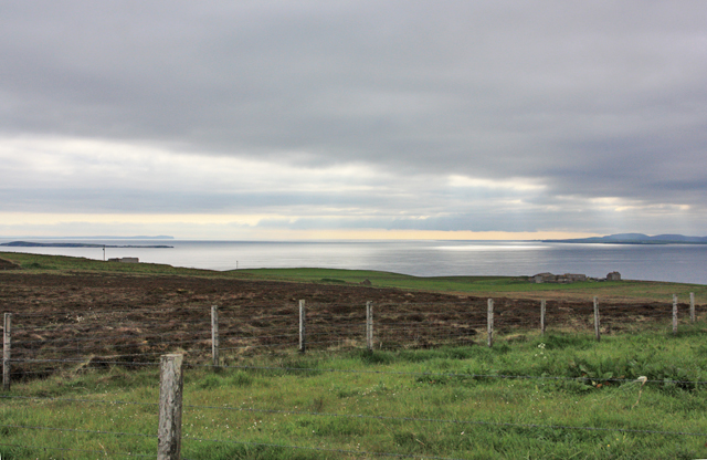
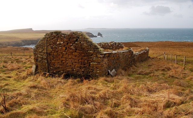
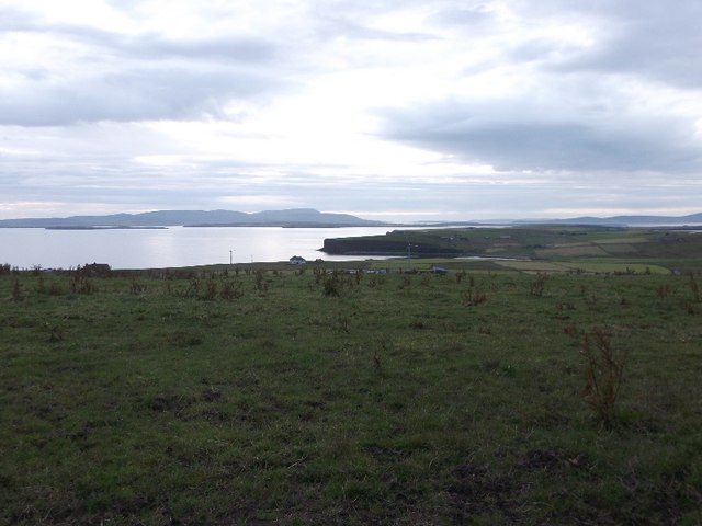
The bay itself is characterized by its pristine sandy beach, which stretches for approximately half a mile. The beach is known for its soft golden sand and clear turquoise waters, making it a popular spot for swimming, sunbathing, and picnicking during the summer months. The bay is sheltered by surrounding cliffs, creating a peaceful and secluded atmosphere.

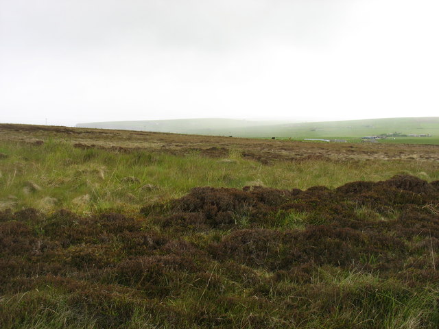
Surrounded by rolling green hills, Hune Bay offers stunning views of the Orkney landscape, with the distant islands dotting the horizon. Walkers and hikers can explore the coastal paths and enjoy the breathtaking vistas along the coastline. The bay is also home to a diverse range of bird species, making it a haven for birdwatching enthusiasts.

In addition to its natural beauty, Hune Bay is steeped in history. Nearby archaeological sites, such as the Neolithic village of Skara Brae and the Maeshowe chambered tomb, offer a glimpse into Orkney's ancient past. Visitors can immerse themselves in the rich cultural heritage of the area while exploring these fascinating sites.

Overall, Hune Bay is a charming and tranquil destination, perfect for those seeking a peaceful getaway in a stunning natural environment.

If you have any feedback on the listing, please let us know in the comments section below.
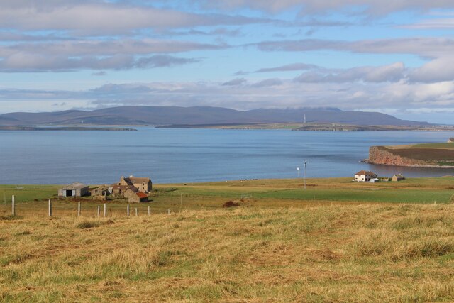
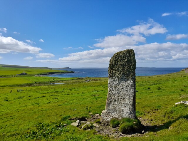
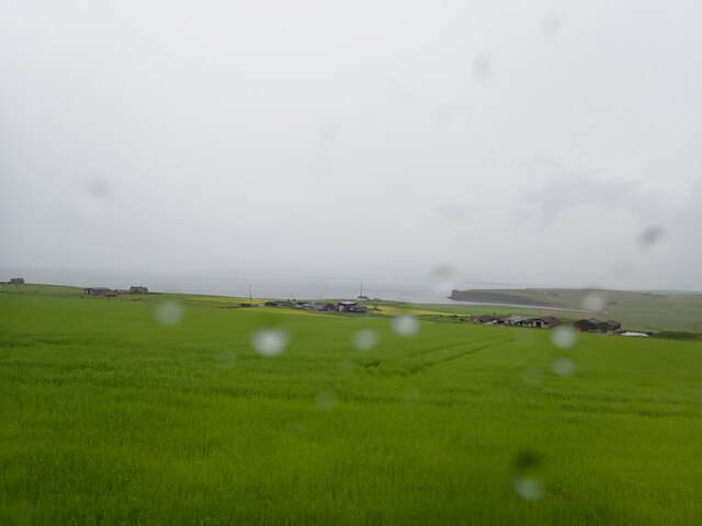
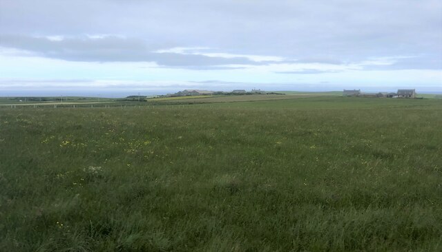
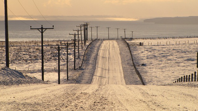
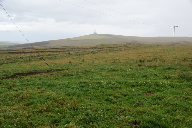
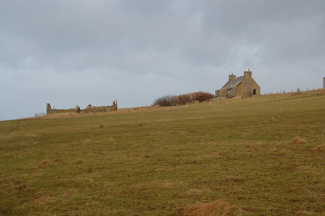
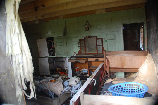
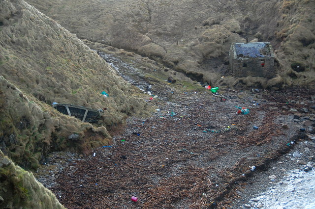
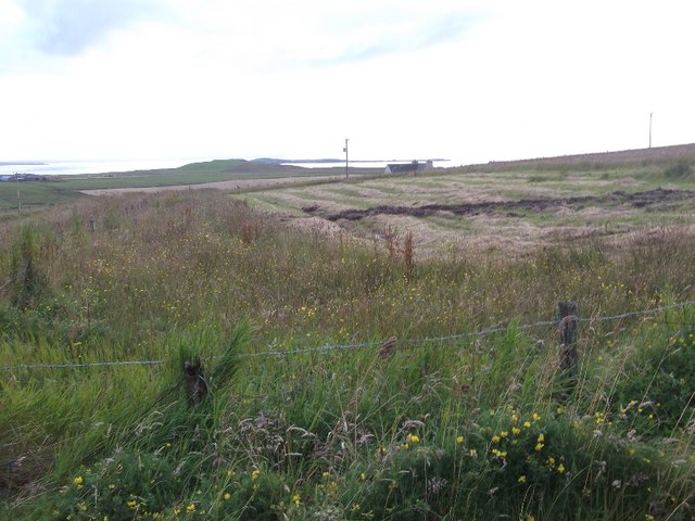
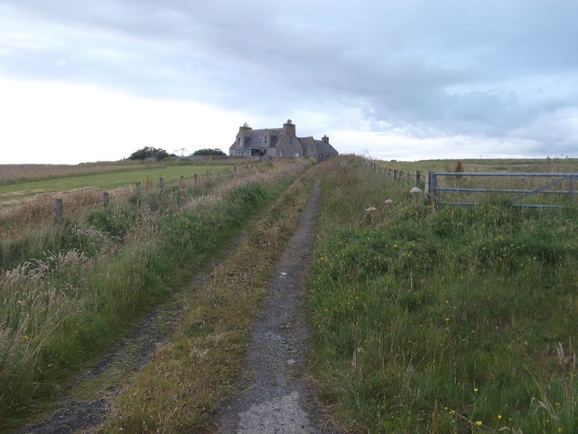
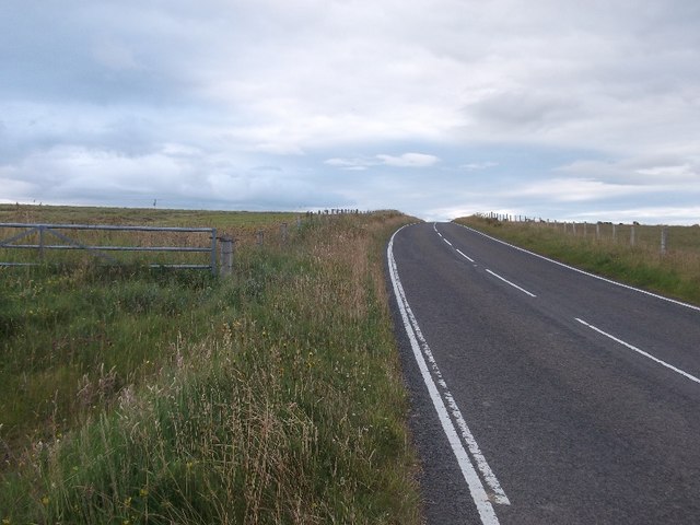
Hune Bay Images

Images are sourced within 2km of 58.773931/-2.9813553 or Grid Reference ND4387. Thanks to Geograph Open Source API. All images are credited.

Scapa Flow Seen from Olaf summit viewpoint on the A961.
Scapa Flow
Seen from Olaf summit viewpoint on the A961.
Cloddyhall Standing Stone A standing stone on South Ronaldsay measuring 8'6" in height.
Cloddyhall Standing Stone
A standing stone on South Ronaldsay measuring 8'6" in height.
View west from the Olad summit viewpoint Marred by rain
View west from the Olad summit viewpoint
Marred by rain
Farmland, Mossetter
Farmland, Mossetter
Road to somewhere
Road to somewhere
Towards Upper Serrigar Extensive views of coastal scenery are available almost everywhere on the Orkney Islands and especially on South Ronaldsay.
Towards Upper Serrigar
Extensive views of coastal scenery are available almost everywhere on the Orkney Islands and especially on South Ronaldsay.
Viewpoint on Olad Hill The headland straight ahead is The Nev. A rain shower is sweeping in from the left.
Viewpoint on Olad Hill
The headland straight ahead is The Nev. A rain shower is sweeping in from the left.
Grassland on Olad Hill Looking towards Ward Hill, with a sharp rain shower just starting. Several of the islands have a Ward Hill, signifying a good place to have a beacon.
Grassland on Olad Hill
Looking towards Ward Hill, with a sharp rain shower just starting. Several of the islands have a Ward Hill, signifying a good place to have a beacon.
The deserted croft of Greenvale Deserted and derelict.
The deserted croft of Greenvale
Deserted and derelict.
Inside Greenvale Looking into one of the rooms. A very similar atmosphere as in those on Swona, which Greenvale overlooks.
Inside Greenvale
Looking into one of the rooms. A very similar atmosphere as in those on Swona, which Greenvale overlooks.
Greenvale Possibly the original dwelling. Swona on the horizon in the background.
Greenvale
Possibly the original dwelling. Swona on the horizon in the background.
The Haven, Barswick On Sundays, the inhabitants of Swona used to cross to South Ronaldsay in an open boat and would land here. This building is where they would then change into "Sunday Best" before walking across the fields to the kirk (ND441856). After the service, the process was reversed. What people!
The Haven, Barswick
On Sundays, the inhabitants of Swona used to cross to South Ronaldsay in an open boat and would land here. This building is where they would then change into "Sunday Best" before walking across the fields to the kirk (ND441856). After the service, the process was reversed. What people!
Rough country below Ward Hill A view in rather dull conditions. The rain came down before I reached the car, only 500 metres away!
Rough country below Ward Hill
A view in rather dull conditions. The rain came down before I reached the car, only 500 metres away!
Hay field, Lythe The deep muddy ruts illustrate what an appalling Summer it was in 2015.  Orkney had a particularly hard time and hay and straw had to be bought in for the Winter.
Hay field, Lythe
The deep muddy ruts illustrate what an appalling Summer it was in 2015. Orkney had a particularly hard time and hay and straw had to be bought in for the Winter.
Greenquoy
Greenquoy
A961 passing Lythe A fast and empty road, ideal for a calm evening.  Unfortunately it is extremely rare in Orkney for milages to be displayed and I had no idea how far it was to St Margaret's Hope.
A961 passing Lythe
A fast and empty road, ideal for a calm evening. Unfortunately it is extremely rare in Orkney for milages to be displayed and I had no idea how far it was to St Margaret's Hope.
Field, Greenquoy View towards the east coast of South Ronaldsay
Field, Greenquoy
View towards the east coast of South Ronaldsay
View from the A961 There is a viewpoint symbol on the map here, where the road crosses a spur off Ward Hill. There is a fine view of the southern approaches to Scapa Flow and Hoy.
View from the A961
There is a viewpoint symbol on the map here, where the road crosses a spur off Ward Hill. There is a fine view of the southern approaches to Scapa Flow and Hoy.
Show me another place!

Hune Bay is located at Grid Ref: ND4387 (Lat: 58.773931, Lng: -2.9813553)

Unitary Authority: Orkney Islands

Police Authority: Highlands and Islands

What 3 Words

///tomorrow.boldest.refrained. Near St Margaret's Hope, Orkney Islands

Related Wikis

South Ronaldsay

South Ronaldsay (, also , Scots: Sooth Ronalshee) is one of the Orkney Islands off the north coast of Scotland. It is linked to the Orkney Mainland by...

HMS Opal (1915)

HMS Opal was an Admiralty M-class destroyer of the Royal Navy. She served in the First World War following her construction at Sunderland in 1915. Attached...

Burwick, Orkney

Burwick () is a small harbour on the island of South Ronaldsay in the Orkney Islands, Scotland. It is the closest Orkney harbour to the Scottish mainland...

Herston, Orkney

Herston is a village on South Ronaldsay, Orkney, Scotland, United Kingdom. Herston is historically a fishing village but its only industry to speak of...

Nearby Amenities

Located within 500m of 58.773931,-2.9813553
Hoston Head
Place: locality
Lat/Long: 58.7710149/-2.9808941
Tumulus
Historic: archaeological_site
Lat/Long: 58.7716481/-2.9794573
The data included in this document is from www.openstreetmap.org. The data is made available under ODbL.

Have you been to Hune Bay?

Leave your review of Hune Bay below (or comments, questions and feedback).