Walton Bay

Bay in Somerset

England

Walton Bay

Old School House In Walton-in-Gordano
Old School House Credit: Adrian and Janet Quantock

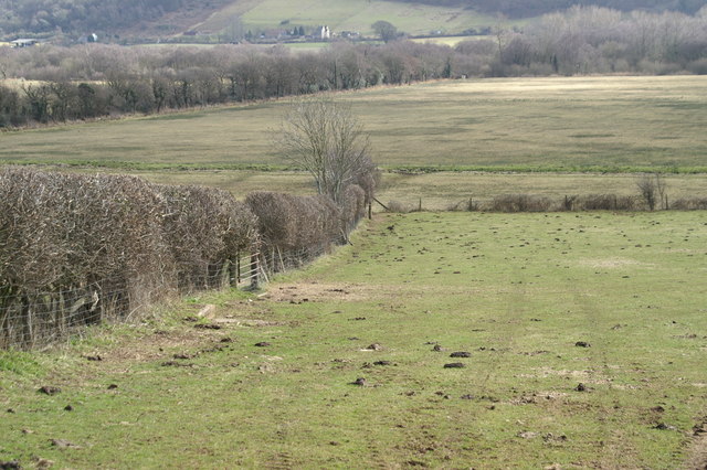
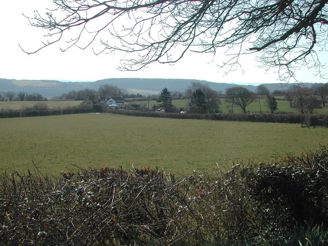
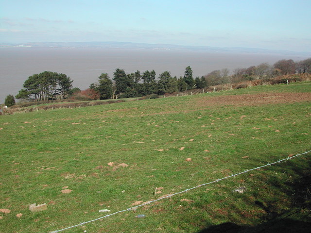
Walton Bay, Somerset, is a picturesque coastal area located on the northern coast of the county in England. Situated between the towns of Clevedon and Portishead, the bay offers stunning views of the Bristol Channel and is a popular destination for both locals and tourists alike.

The bay is known for its expansive sandy beach, making it an ideal spot for sunbathing, picnicking, and enjoying various beach activities. The beach is well-maintained and offers facilities such as toilets, parking, and nearby cafes and restaurants, ensuring visitors have a comfortable and convenient experience.

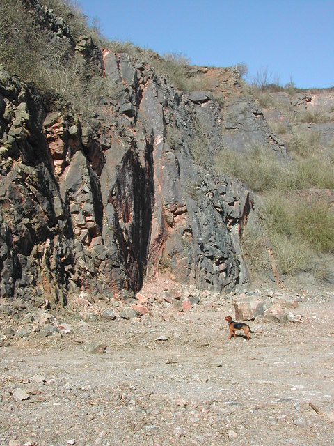
Walton Bay is also renowned for its natural beauty and wildlife. The bay is surrounded by cliffs and scenic walking trails, allowing nature enthusiasts to explore the area's diverse flora and fauna. Seals and dolphins are frequently spotted in the waters, providing a unique opportunity for wildlife enthusiasts to observe these magnificent creatures in their natural habitat.

In addition to its natural attractions, Walton Bay has historical significance. The remains of a Roman villa can be found nearby, offering a glimpse into the area's rich past. The bay also serves as a gateway to the nearby Gordano Valley Nature Reserve, which boasts a variety of habitats including wetlands, meadows, and woodlands, attracting a wide range of bird species.

Overall, Walton Bay, Somerset, offers a perfect blend of natural beauty, recreational activities, and historical significance. Whether it's a relaxing day at the beach, exploring the coastal trails, or immersing oneself in the area's rich history, Walton Bay has something to offer for everyone.

If you have any feedback on the listing, please let us know in the comments section below.
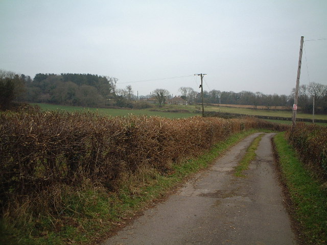
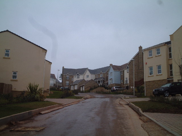
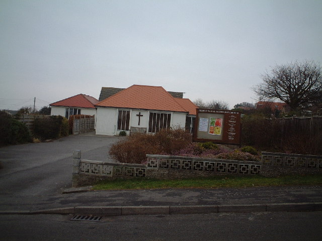
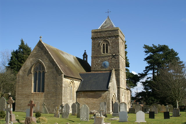
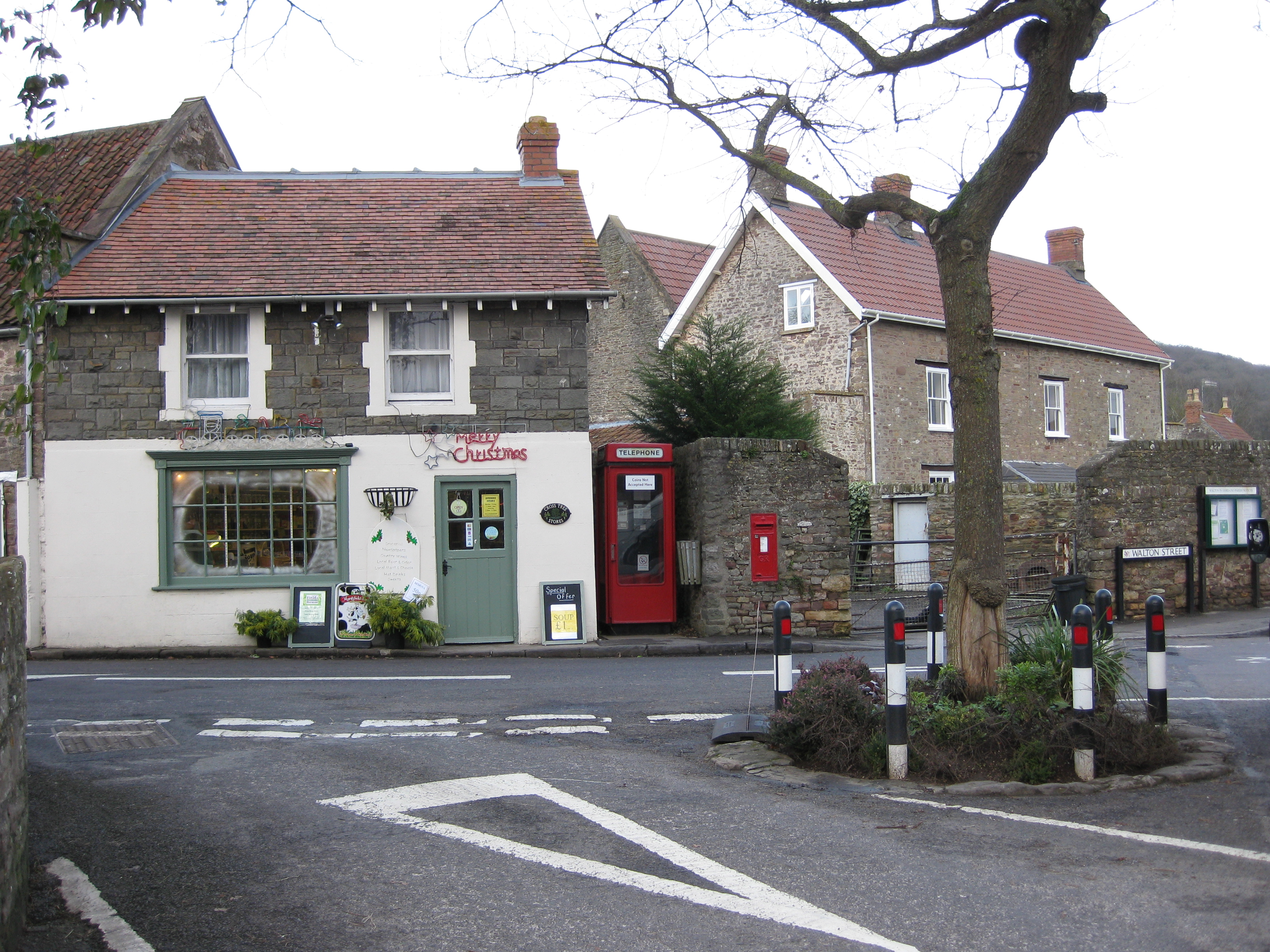
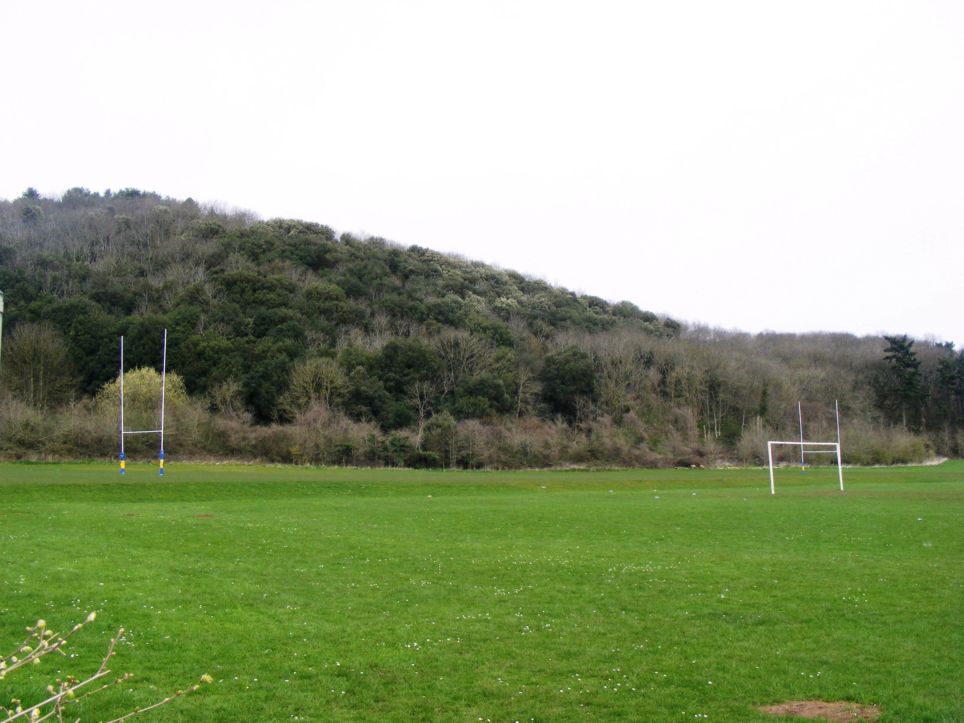
Walton Bay Images

Images are sourced within 2km of 51.467473/-2.8247281 or Grid Reference ST4274. Thanks to Geograph Open Source API. All images are credited.

Old School House In Walton-in-Gordano
Old School House
In Walton-in-Gordano
Tower This tower has a revolving radar unit on top for the shipping in the Bristol Channel
Tower
This tower has a revolving radar unit on top for the shipping in the Bristol Channel
Track looking toward Weston Down
Charlcombe Rise. New houses at Charlcombe Rise
Charlcombe Rise.
New houses at Charlcombe Rise
Redcliff Bay Methodist Church
St Peter & St Paul Church Weston in Gordano A Plaque inside the vestibule states...
"A clock was erected in the church tower by Rector of this Parish Thomas Hartley-Jackson, M.A.Hon:C.F. as a gift to commemorate the Coronation of Her Majesty Queen Elizabeth II. June-1953"
St Peter & St Paul Church Weston in Gordano
A Plaque inside the vestibule states... "A clock was erected in the church tower by Rector of this Parish Thomas Hartley-Jackson, M.A.Hon:C.F. as a gift to commemorate the Coronation of Her Majesty Queen Elizabeth II. June-1953"
Fishermen At Margaret's Bay taken from the coastal footpath
Fishermen
At Margaret's Bay taken from the coastal footpath
Fields By Walton in Gordano
South across grid square Black Rock Quarry is behind second field at left of picture
South across grid square
Black Rock Quarry is behind second field at left of picture
Channel view Looking due North over the Severn Estuary - Welsh mountains in the distance
Channel view
Looking due North over the Severn Estuary - Welsh mountains in the distance
View Eastwards over fields to Canon's Wood
Sheer cliffs West end of Black Rock Quarry
Sheer cliffs
West end of Black Rock Quarry
Common reed on Weston Moor The Common Reed (Phragmites Communis) growing from one of the rhynes on weston Moor.
Common reed on Weston Moor
The Common Reed (Phragmites Communis) growing from one of the rhynes on weston Moor.
Rusty shelter A large rusty barn like shelter used for storing hay.  Located just to the north of Weston Moor.
Rusty shelter
A large rusty barn like shelter used for storing hay. Located just to the north of Weston Moor.
View from Coastal Path
Charlcombe Rise This is Charlcombe Rise with the building completed.
Charlcombe Rise
This is Charlcombe Rise with the building completed.
View from Seven Acre wood
Storage facility at Redcliffe Bay
Show me another place!

Walton Bay is located at Grid Ref: ST4274 (Lat: 51.467473, Lng: -2.8247281)

Unitary Authority: North Somerset

Police Authority: Avon and Somerset

What 3 Words

///tries.savings.interviewer. Near Clevedon, Somerset

Related Wikis

Walton Common

Walton Common (grid reference ST428738) is a 25.5 hectare biological Site of Special Scientific Interest (SSSI) near the village of Walton in Gordano,...

Walton Common banjo enclosure

The Walton Common banjo enclosure is a banjo enclosure on Walton Common, to the north of Walton in Gordano, Somerset, England. It appears to date to the...

Walton in Gordano

Walton in Gordano is a village and civil parish in North Somerset, England. It is situated in a small valley at the side of the south-western end of the...

Walton in Gordano railway station

Walton in Gordano railway station served the village of Walton in Gordano, North Somerset, England from 1907 to 1940 on the Weston, Clevedon and Portishead...

Gordano Valley

Gordano (or the Gordano Valley; ) is an area of North Somerset, in England. It has been designated as a National Nature Reserve.The name Gordano comes...

Redcliffe Bay

Redcliffe Bay is a large area of Portishead — a town in North Somerset, England — with most houses having views of the Bristol Channel. Despite its size...

Cadbury Road railway station

Cadbury Road railway station served the village of Weston in Gordano, Somerset, England from 1907 to 1940 on the Weston, Clevedon and Portishead Railway...

Holly Lane SSSI

Holly Lane SSSI (grid reference ST419727) is a 0.5 hectare geological Site of Special Scientific Interest near the village of Walton St. Mary, North Somerset...

Nearby Amenities

Located within 500m of 51.467473,-2.8247281
Source: PGS
Lat/Long: 51.4698763/-2.8204439
Source: PGS
Lat/Long: 51.4697694/-2.8206928
Source: PGS
Lat/Long: 51.4696625/-2.8208645
Source: PGS
Lat/Long: 51.4692187/-2.8214825
Source: PGS
Lat/Long: 51.4690262/-2.8215082
Source: PGS
Lat/Long: 51.4678606/-2.8230188
Source: PGS
Lat/Long: 51.4675451/-2.8234909
Source: PGS
Lat/Long: 51.4672938/-2.8234909
Source: PGS
Lat/Long: 51.4670105/-2.823757
Source: PGS
Lat/Long: 51.4669784/-2.8243664
Source: PGS
Lat/Long: 51.4669249/-2.8248899
Source: PGS
Lat/Long: 51.4665346/-2.8258942
Source: PGS
Lat/Long: 51.4663207/-2.8265293
Source: PGS
Lat/Long: 51.4662351/-2.8270271
Source: PGS
Lat/Long: 51.4661282/-2.8272503
Source: PGS
Lat/Long: 51.4659986/-2.8284119
Bus Stop
Walton Bay Caravan Park
Bench: yes
Bin: no
Bus: yes
Naptan AtcoCode: 0190NSC30876
Naptan Bearing: E
Naptan CommonName: Walton Bay Caravan Park
Naptan NaptanCode: wsmdwpw
Naptan Street: Down Road
Naptan Verified: no
Public Transport: platform
Shelter: yes
Source: naptan_import
Tactile Paving: no
Lat/Long: 51.4652805/-2.8240411
Bus Stop
Walton Bay Caravan Park
Bench: no
Bin: no
Bus: yes
Naptan AtcoCode: 0190NSC30877
Naptan Bearing: W
Naptan CommonName: Walton Bay Caravan Park
Naptan NaptanCode: wsmdwta
Naptan Street: Down Road
Naptan Verified: no
Public Transport: platform
Shelter: no
Source: naptan_import
Tactile Paving: no
Lat/Long: 51.465127/-2.8245321
Walton Bay
Natural: bay
Source: OS 1:25k
Lat/Long: 51.4672491/-2.8259577
Portishead Sea Cave
Natural: cave_entrance
Lat/Long: 51.4649054/-2.8303664
Bench
Lat/Long: 51.4651054/-2.8299462
Barrier: bollard
Bollard: fixed
Lat/Long: 51.4639801/-2.8284579
Barrier: bollard
Bollard: fixed
Lat/Long: 51.4639684/-2.8284795
The data included in this document is from www.openstreetmap.org. The data is made available under ODbL.

Have you been to Walton Bay?

Leave your review of Walton Bay below (or comments, questions and feedback).