Bay of Hinderayre

Bay in Orkney

Scotland

Bay of Hinderayre

Seal Skerry A small lighthouse on the Seal Skerry - but no seals!
Seal Skerry Credit: Graeme Smith

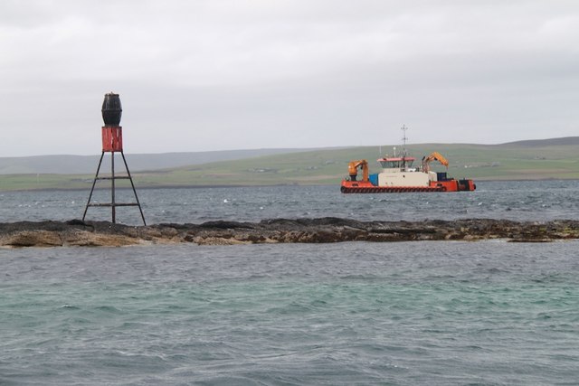
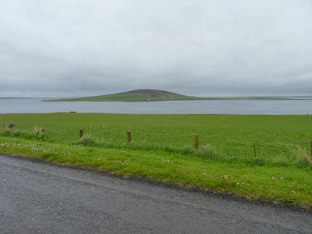
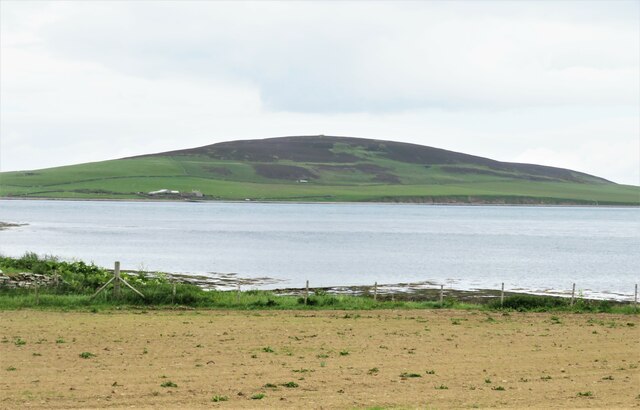
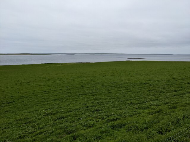
The Bay of Hinderayre, located in the Orkney Islands, is a picturesque coastal area that stretches along the northeastern coast of Mainland Orkney. With its stunning views of the North Sea and its unique geographical features, the bay attracts visitors from around the world.

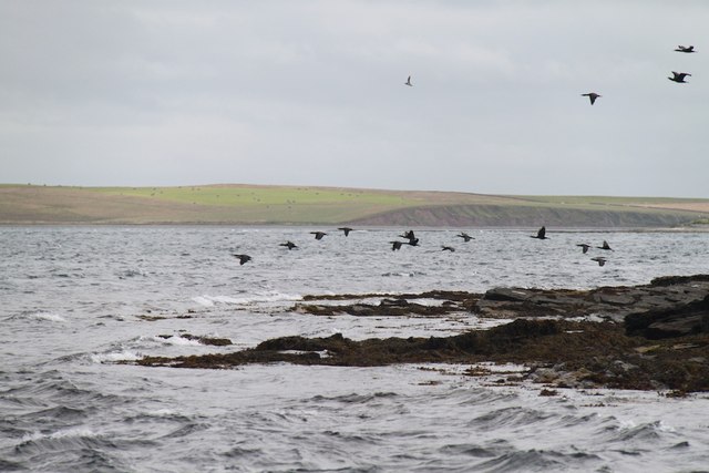
The bay is characterized by its vast sandy beaches, which provide ample opportunities for outdoor activities such as walking, picnicking, and birdwatching. The coastline is also dotted with rugged cliffs and rocky outcrops, adding to its natural beauty. The bay is known for its rich marine life, making it a popular spot for fishing and diving enthusiasts.

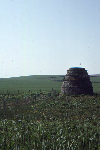
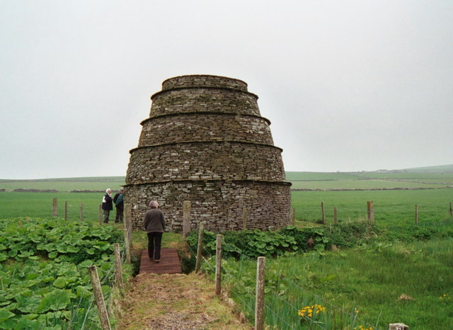
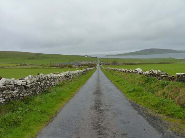
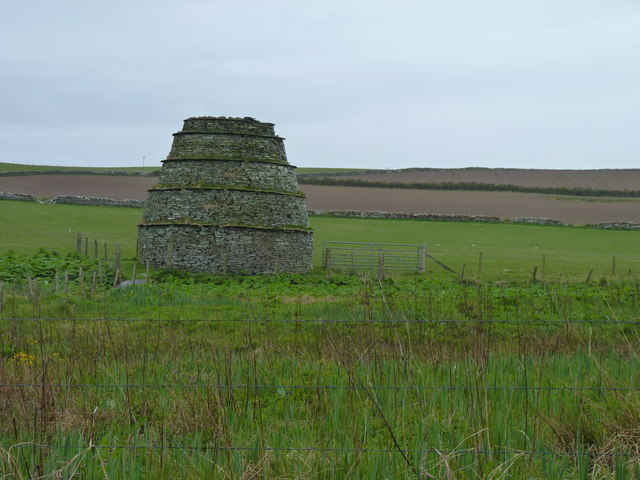
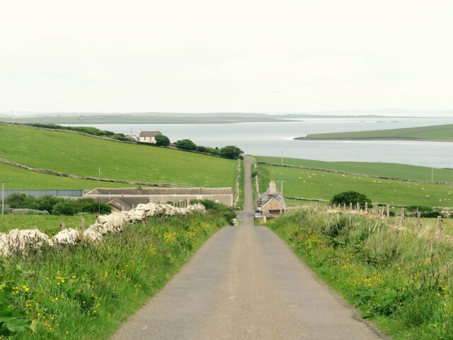
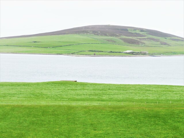
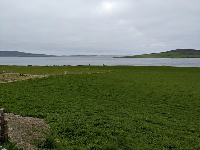
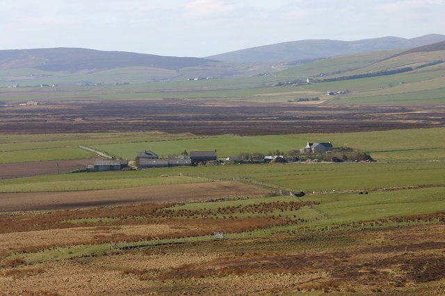
The surrounding area of the bay is mainly rural and agricultural, with scattered farms and small villages. The landscape is dominated by rolling hills and green pastures, creating a peaceful and idyllic atmosphere.

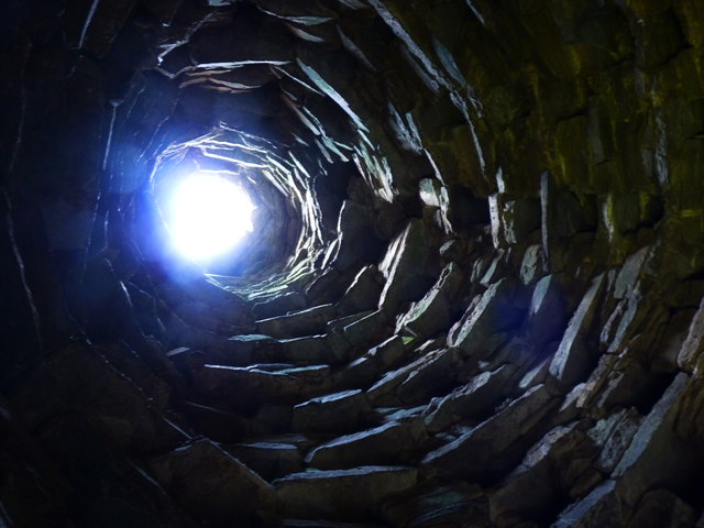
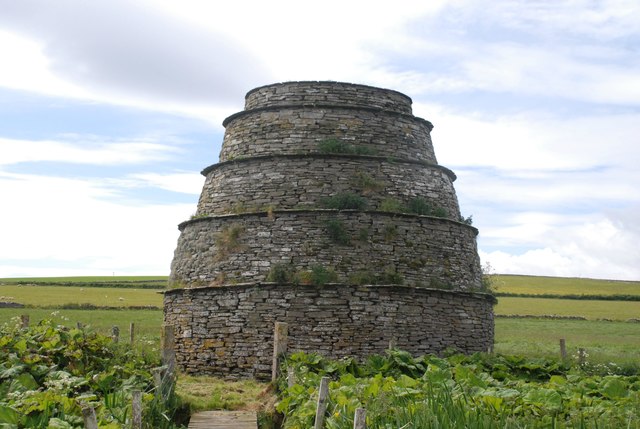
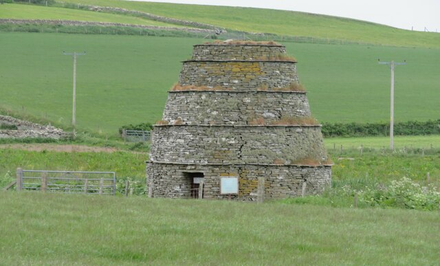
One of the main attractions near the Bay of Hinderayre is the Brough of Birsay, a small tidal island that can be accessed by a causeway during low tide. This historic site is home to the remains of a Norse settlement and a medieval church, making it a fascinating destination for history enthusiasts.

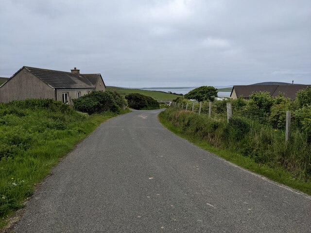
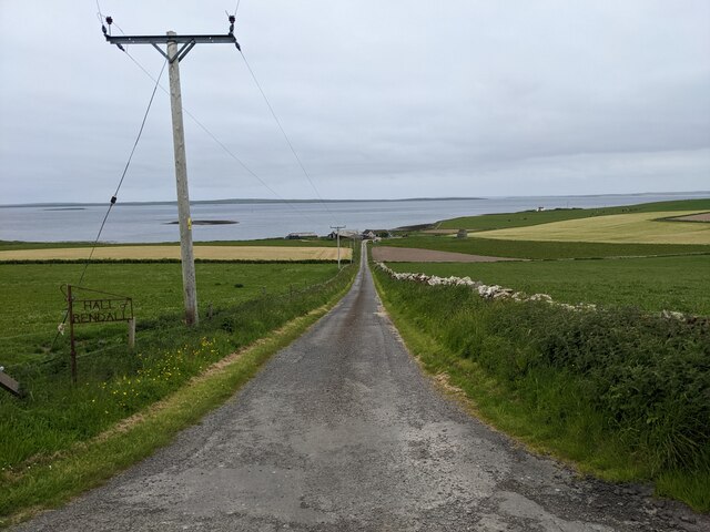
The Bay of Hinderayre is easily accessible by road and is located approximately 15 miles northwest of Kirkwall, the main town of Orkney. Its natural beauty, tranquil surroundings, and historical sites make it a must-visit destination for those exploring the Orkney Islands.

If you have any feedback on the listing, please let us know in the comments section below.

Bay of Hinderayre Images

Images are sourced within 2km of 59.059109/-3.0035856 or Grid Reference HY4219. Thanks to Geograph Open Source API. All images are credited.

Seal Skerry A small lighthouse on the Seal Skerry - but no seals!
Seal Skerry
A small lighthouse on the Seal Skerry - but no seals!
Holm of Rendall The eastern edge of the Holm of Rendall
Holm of Rendall
The eastern edge of the Holm of Rendall
Rendall Doocot, Hall of Rendall, Mainland This dovecot is the only such one on Orkney, although dovecots are relatively common at medieval or early modern sites, as a way of keeping a supply of protein on site.  The ridged sides apparently are to make it difficult for rats to scale the dovecot.
Rendall Doocot, Hall of Rendall, Mainland
This dovecot is the only such one on Orkney, although dovecots are relatively common at medieval or early modern sites, as a way of keeping a supply of protein on site. The ridged sides apparently are to make it difficult for rats to scale the dovecot.
Rendall doocot
Rendall doocot
Rendall doocot 17th Century beehive-type dovecote, 10 ft in diameter at the top, 18 ft high.
Rendall doocot
17th Century beehive-type dovecote, 10 ft in diameter at the top, 18 ft high.
Breck of Rendall farm With Gairsay insland in the distance.
Breck of Rendall farm
With Gairsay insland in the distance.
Doocot at Hall of Rendall
Coastal fields With Gairsay island in the distance.
Coastal fields
With Gairsay island in the distance.
Rendall Doocot Historic Scotland B Listed. (Ident-345600). HY 42262 20731. 17th Century. Beehive dovecote with its four external string-courses is unique in the Northern Isles. The nests for the pigeons are simply irregular gaps left in the rough masonry of the internal wallface.
Rendall Doocot
Historic Scotland B Listed. (Ident-345600). HY 42262 20731. 17th Century. Beehive dovecote with its four external string-courses is unique in the Northern Isles. The nests for the pigeons are simply irregular gaps left in the rough masonry of the internal wallface.
Rendall Doocot Interior Historic Scotland B Listed. (Ident-345600). 17th Century.
Rendall Doocot Interior
Historic Scotland B Listed. (Ident-345600). 17th Century.
Down the straight Straight road dropping downhill past Breck Farm.
Down the straight
Straight road dropping downhill past Breck Farm.
Rendall doocot Listed building and one of 11 doocots listed on the Orkney Islands. This one has a low door which can be opened, but the amount of guano just inside is sufficient to put one off a thorough inspection.
Rendall doocot
Listed building and one of 11 doocots listed on the Orkney Islands. This one has a low door which can be opened, but the amount of guano just inside is sufficient to put one off a thorough inspection.
Seaward view at Rendall Looking out to sea with the small island of Gairsay in the distance.
Seaward view at Rendall
Looking out to sea with the small island of Gairsay in the distance.
View towards Gairsay Just at the point where the land drops down to the shore, the top of an old WW2 concrete defensive position can be seen. The island in the background is Gairsay.
View towards Gairsay
Just at the point where the land drops down to the shore, the top of an old WW2 concrete defensive position can be seen. The island in the background is Gairsay.
The minor road near Quoyfree
The lane to Hall of Rendall
Lush grassland near Hall of Rendall The tiny island is Holm of Rendall.
Lush grassland near Hall of Rendall
The tiny island is Holm of Rendall.
Grassland, looking towards Gairsay A small reservoir is just visible to the left.
Grassland, looking towards Gairsay
A small reservoir is just visible to the left.
Show me another place!

Bay of Hinderayre is located at Grid Ref: HY4219 (Lat: 59.059109, Lng: -3.0035856)

Unitary Authority: Orkney Islands

Police Authority: Highlands and Islands

What 3 Words

///forgiven.organ.distracts. Near Rendall, Orkney Islands

Related Wikis

Rendall

Rendall (Old Norse: Rennudalr or Rennadal) is a parish on Mainland, Orkney, Scotland. It is in the north west of the island and lies east of the parishes...

Gairsay

Gairsay (Old Norse: Gáreksey) is a small island in Orkney, Scotland, located in the parish of Rendall, 1.5 miles (2.4 km) off the coast, astride one of...

Sweyn Holm

Note: There is also a "Sweyn Holm" off St Ninian's Isle, Shetland Sweyn Holm is a small island in the Orkney Islands, next to Gairsay. It is thought to...

Vasa Loch

Vasa Loch is a brackish lagoon in southwestern Shapinsay, Orkney Islands. (Ordnance, 2002) This water body has been shown on early maps of the island...

Nearby Amenities

Located within 500m of 59.059109,-3.0035856
Power: pole
Lat/Long: 59.0597042/-3.0077838
Power: pole
Lat/Long: 59.0599769/-3.0083837
Power: pole
Lat/Long: 59.0603616/-3.009375
Power: pole
Lat/Long: 59.0607296/-3.0103316
Knowe of Dishero (site of)
Historic: archaeological_site
Lat/Long: 59.0629224/-3.0029507
Bay of Hinderayre
Natural: bay
Lat/Long: 59.0589244/-3.0037774
The data included in this document is from www.openstreetmap.org. The data is made available under ODbL.

Have you been to Bay of Hinderayre?

Leave your review of Bay of Hinderayre below (or comments, questions and feedback).