Bay of Sannick
Bay in Caithness
Scotland
Bay of Sannick
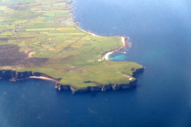
The Bay of Sannick is a picturesque coastal area located in the county of Caithness, in the northernmost part of mainland Scotland. Situated on the east coast, the bay is nestled between the villages of Keiss and Reiss. It is renowned for its natural beauty and tranquil atmosphere, making it a popular destination for visitors seeking a peaceful retreat.
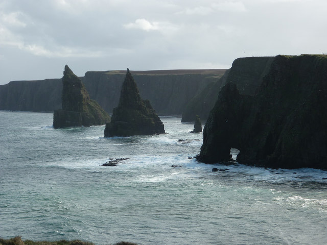
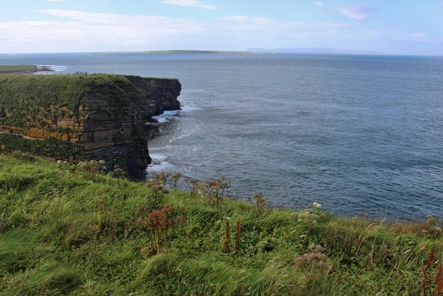
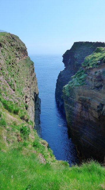
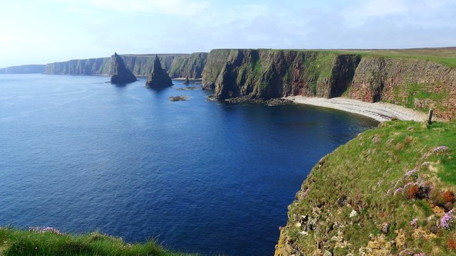
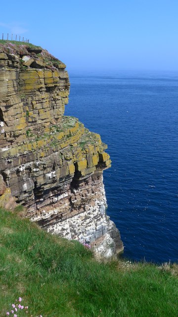
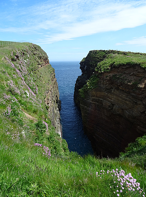
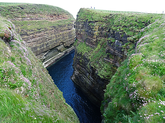
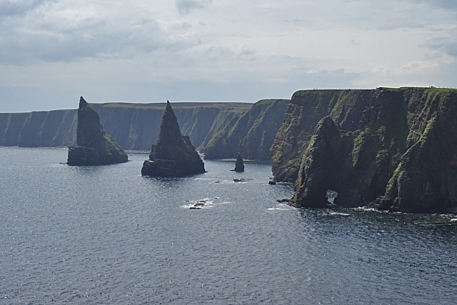
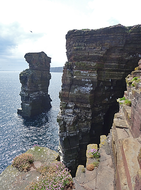
The bay is characterized by its long stretch of sandy beach, which spans approximately two miles along the coastline. The golden sand is complemented by the crystal-clear waters, creating a stunning contrast against the rugged cliffs that surround the area. The bay offers breathtaking panoramic views of the North Sea, with the distant horizon showcasing stunning sunsets that are a delight to behold.
The Bay of Sannick is also home to a diverse range of marine life, making it a haven for nature enthusiasts and birdwatchers. Seals can often be spotted lounging on the rocks, and various seabirds, including gulls and cormorants, can be observed nesting and fishing along the shoreline.
Visitors to the bay can enjoy a variety of activities, such as leisurely strolls along the beach, picnicking amidst the sand dunes, or exploring the rock pools that are revealed at low tide. The bay is also popular among anglers, who can try their luck at catching fish such as mackerel or sea trout.
Overall, the Bay of Sannick in Caithness offers a serene and idyllic coastal experience, perfect for those seeking a peaceful escape amidst stunning natural surroundings.
If you have any feedback on the listing, please let us know in the comments section below.
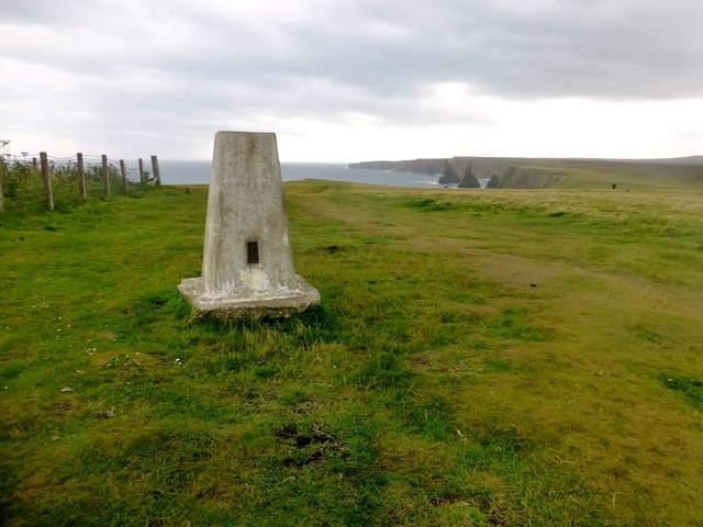
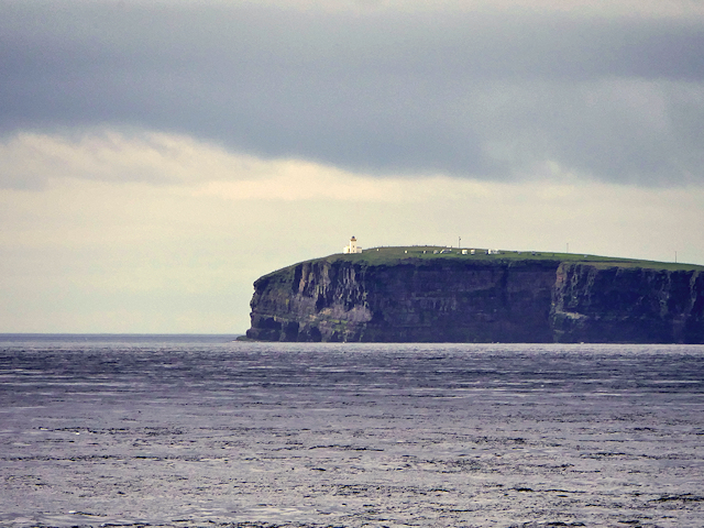
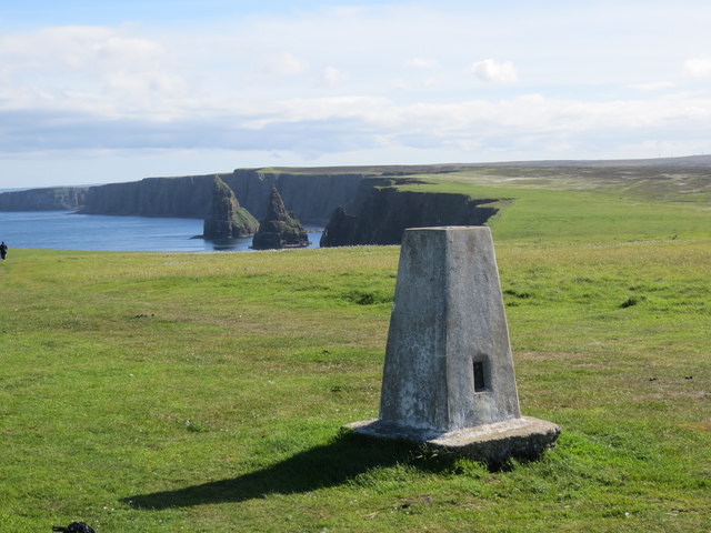
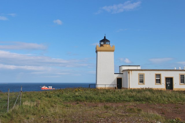
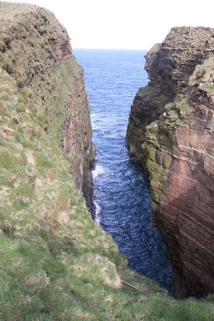
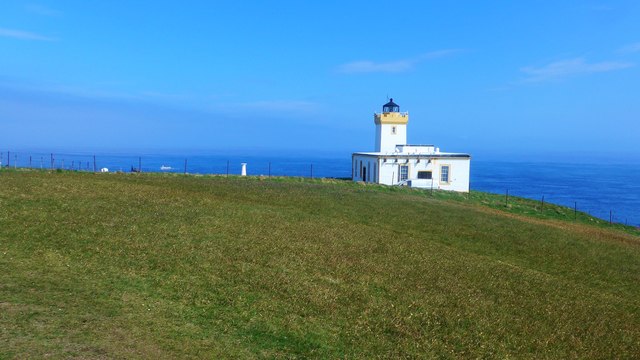
Bay of Sannick Images
Images are sourced within 2km of 58.646065/-3.0393608 or Grid Reference ND3973. Thanks to Geograph Open Source API. All images are credited.

Bay of Sannick is located at Grid Ref: ND3973 (Lat: 58.646065, Lng: -3.0393608)
Unitary Authority: Highland
Police Authority: Highlands and Islands
What 3 Words
///apparatus.lights.ratty. Near John o' Groats, Highland
Nearby Locations
Related Wikis
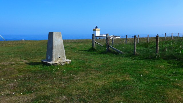
Duncansby Head
Duncansby Head (Scottish Gaelic: Ceann Dhunngain or Dùn Gasbaith) is the most northeasterly part of both the Scottish and British mainlands, slightly...

John o' Groats
John O' Groats (Scottish Gaelic: Taigh Iain Ghròt) is a village 2.5 mi (4 km) northeast of Canisbay, Caithness, in the far north of Scotland. John O' Groats...

Huna, Caithness
Huna is a small remote crofting township, located 1 mile northeast of Canisbay and 1.5 miles west of John o' Groats in Caithness, in Scotland. It is currently...

Huna House
Huna House is a Victorian building located in the small village of Huna in Canisbay, north of Caithness. Built in 1870 as the Huna Hotel, it is listed...

Canisbay
Canisbay is a rural hamlet located about one mile (1.5 kilometres) southwest of Huna and two and a half miles (four kilometres) southwest of John o' Groats...
MeyGen
MeyGen (full name MeyGen tidal energy project) will be the world's largest tidal energy plant, which is currently in construction. The first phase of the...
Canisbay Parish Church
Canisbay Parish Church is a Church of Scotland church in Canisbay, Scotland, that dates back to the early 1600s and is the most northernly church on mainland...

Skirza
Skirza or Skirsa, is a small remote linear fishing village, overlooking Freswick Bay to the south and Skirza Head to the southeast, in eastern Caithness...
Nearby Amenities
Located within 500m of 58.646065,-3.0393608Have you been to Bay of Sannick?
Leave your review of Bay of Sannick below (or comments, questions and feedback).