Kirk Hope
Bay in Orkney
Scotland
Kirk Hope
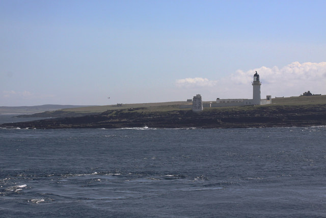
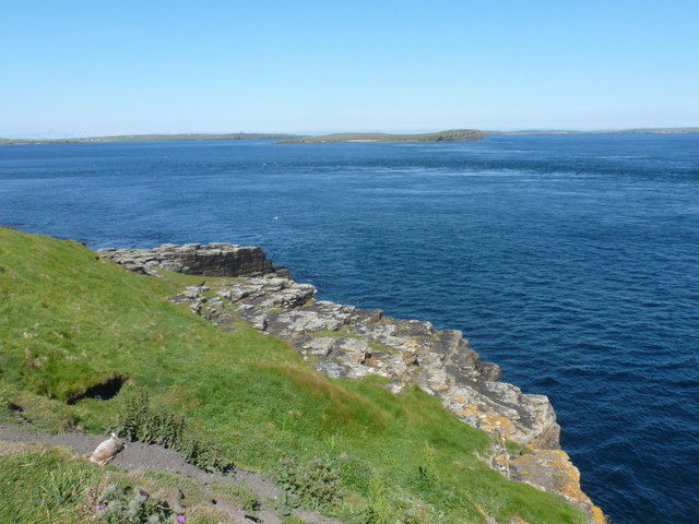
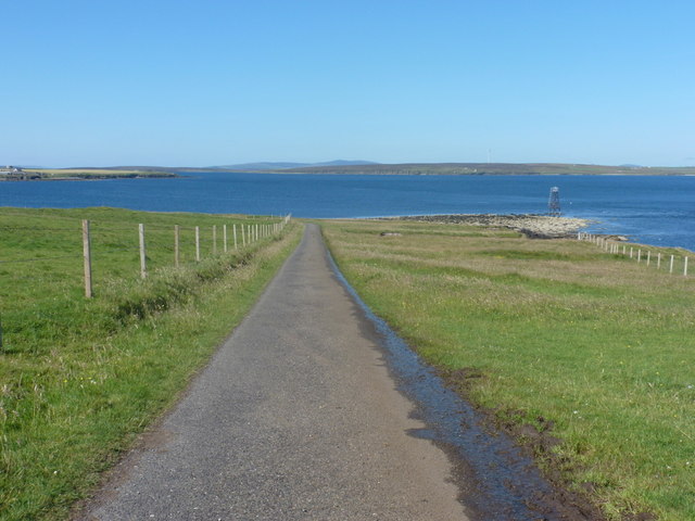
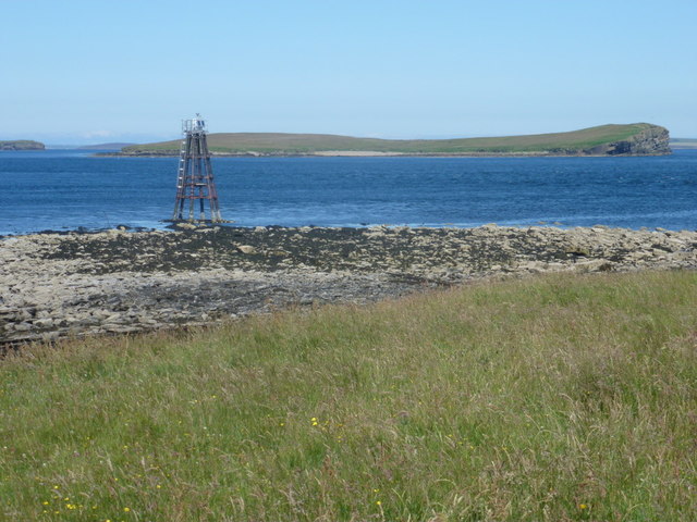
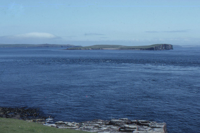
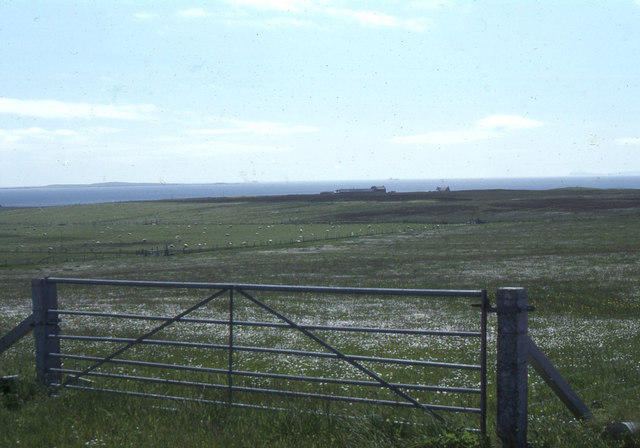
Kirk Hope, Orkney (Bay) is a small coastal village located on the east coast of the Orkney Islands in Scotland. Situated on the mainland of Orkney, this picturesque village overlooks the beautiful Kirk Bay, offering stunning views of the North Sea.
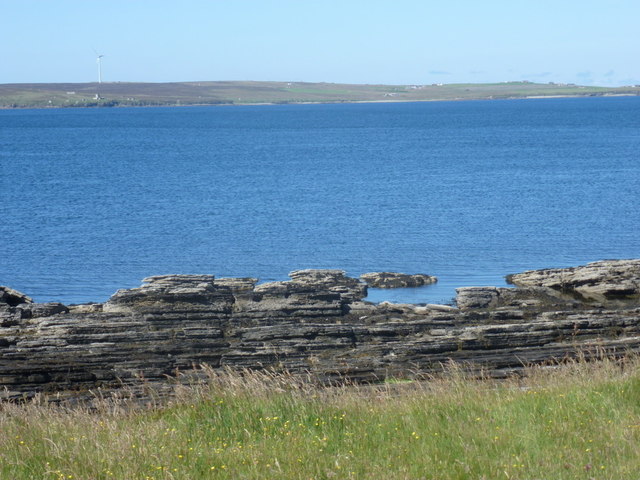
With a population of around 200 residents, Kirk Hope is known for its tranquility and natural beauty. The village is surrounded by rolling green hills, rugged cliffs, and sandy beaches, making it a popular destination for nature enthusiasts and outdoor activities.
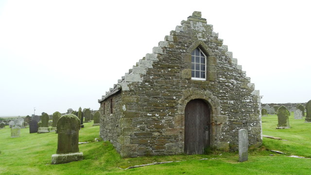
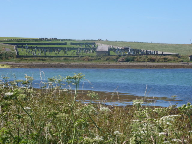
Despite its small size, Kirk Hope has a rich history. The village is home to the prominent St. Mary's Kirk, a 12th-century church that stands as a testament to the area's religious significance throughout the centuries. Visitors can explore the church and its well-preserved architectural features.
Kirk Hope also offers a range of amenities to cater to the needs of both locals and tourists. The village has a small convenience store where visitors can purchase essential items, as well as a cozy café serving delicious homemade treats.
For those seeking adventure, Kirk Hope provides ample opportunities for hiking, birdwatching, and exploring the surrounding coastal areas. The nearby Brough of Deerness, a small uninhabited island, is a popular attraction for its ancient ruins and breathtaking views.
Overall, Kirk Hope, Orkney (Bay) is a charming and peaceful village that showcases the natural beauty and rich history of the Orkney Islands. It is a place where visitors can unwind, immerse themselves in nature, and experience the unique atmosphere of this remote corner of Scotland.
If you have any feedback on the listing, please let us know in the comments section below.
Kirk Hope Images
Images are sourced within 2km of 58.791749/-3.142925 or Grid Reference ND3489. Thanks to Geograph Open Source API. All images are credited.
Kirk Hope is located at Grid Ref: ND3489 (Lat: 58.791749, Lng: -3.142925)
Unitary Authority: Orkney Islands
Police Authority: Highlands and Islands
What 3 Words
///botanists.validated.helped. Near Lyness, Orkney Islands
Nearby Locations
Related Wikis
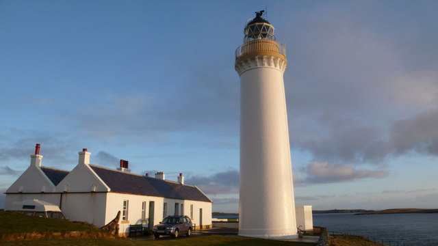
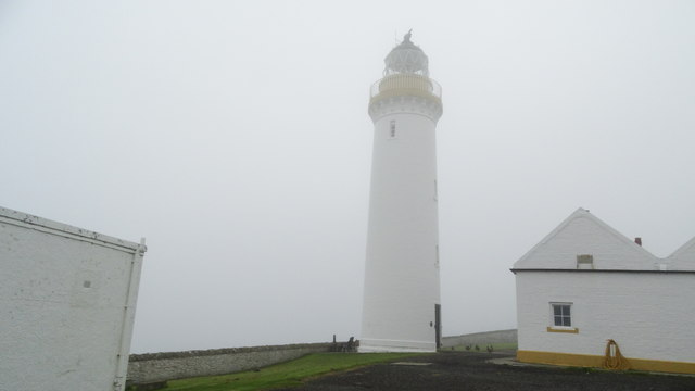
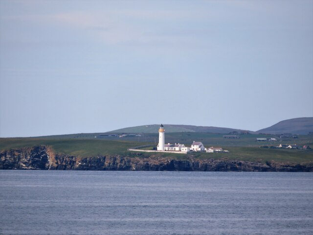
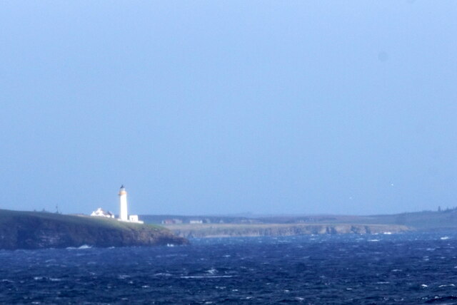
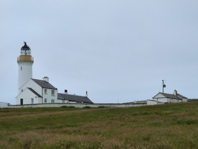
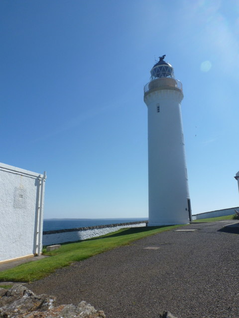
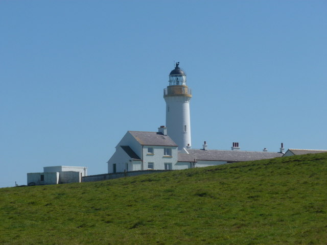
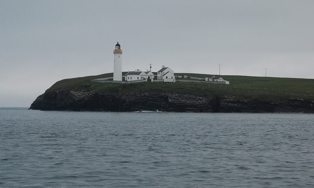
Cantick Head Lighthouse
The Cantick Head Lighthouse is an active 19th century lighthouse on the Scottish island of South Walls in the Orkney Islands. It is located at the end...

Hackness Martello Tower and Battery
Hackness Martello Tower and Battery is a British Army barracks and museum located on the island of South Walls, in Orkney, Scotland. == History == The...

South Walls
South Walls (Scots: Sooth Waas), often referred to as Walls, is an inhabited island adjacent to Hoy in Orkney, Scotland. The name is a corruption of "Sooth...

Switha
Switha is a small uninhabited island towards the south of Orkney, Scotland, approximately 41 hectares in area. == Geography and geology == Switha lies...
Longhope, Orkney
Longhope is a coastal settlement on the island of South Walls, in Orkney, Scotland. South Walls is linked to Hoy by causeway; Longhope is the largest settlement...

Crockness Martello tower
Crockness Martello Tower is a Martello Tower on Hoy, Orkney, Scotland. It was built during the Napoleonic Wars, at the same time as the Martello Tower...
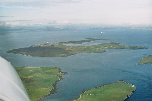
Flotta
Flotta () is a small island in Orkney, Scotland, lying in Scapa Flow. The island is known for its large oil terminal and is linked by Orkney Ferries to...

Whome
Whome is the largest settlement on the Orkney island of Flotta, Scotland. The village is situated on the B9046, the main road across Flotta. Views from...
Nearby Amenities
Located within 500m of 58.791749,-3.142925Have you been to Kirk Hope?
Leave your review of Kirk Hope below (or comments, questions and feedback).