Bay of Quoys
Bay in Orkney
Scotland
Bay of Quoys
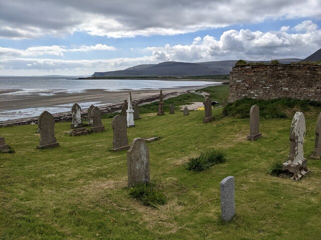
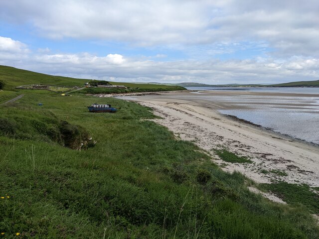
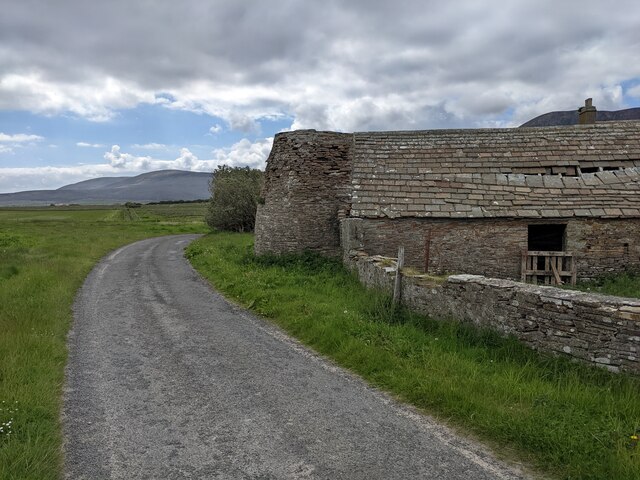
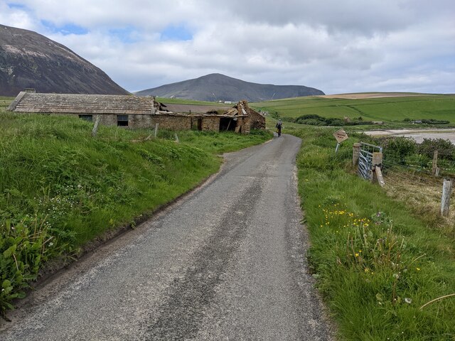
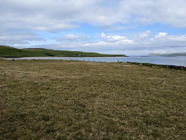
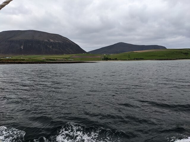
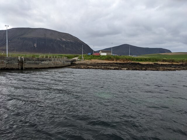
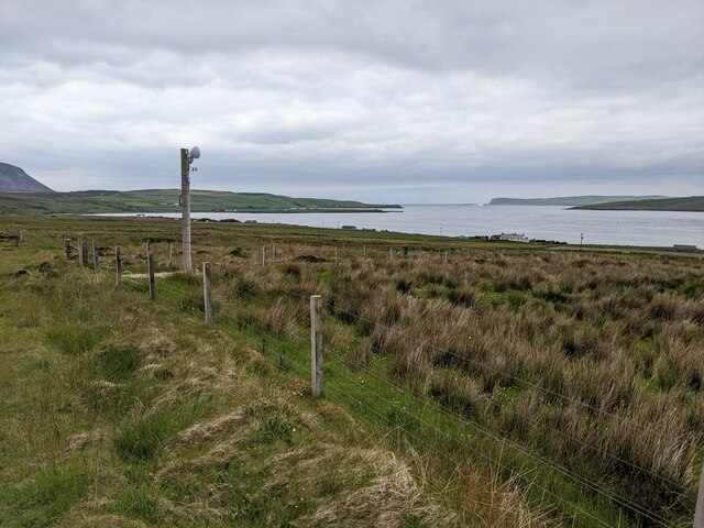
The Bay of Quoys is a picturesque inlet located in the Orkney Islands, an archipelago situated off the northeastern coast of Scotland. This bay is nestled on the eastern side of the Mainland, the largest island in the Orkney group. With its stunning natural beauty and rich historical significance, the Bay of Quoys has become a popular destination for both locals and tourists.
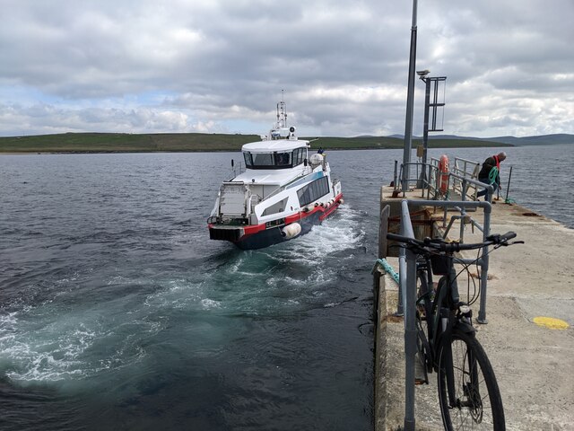
Surrounded by lush green hills and rugged cliffs, the bay offers breathtaking views of the North Sea. Its calm, sheltered waters make it an ideal spot for various water activities such as sailing, kayaking, and fishing. The bay is also home to a diverse range of marine life, including seals, dolphins, and various species of seabirds, making it a haven for wildlife enthusiasts and birdwatchers.
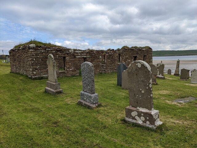
The Bay of Quoys is steeped in history, with archaeological sites dating back thousands of years. Nearby, visitors can explore the remnants of Skara Brae, a Neolithic village that was buried beneath sand and discovered in the 19th century. This UNESCO World Heritage Site provides a fascinating glimpse into the lives of the inhabitants who lived there over 5,000 years ago.
In addition to its natural and historical attractions, the bay offers easy access to amenities such as cafes, restaurants, and accommodations, ensuring a comfortable and enjoyable visit for all. Whether it's admiring the stunning scenery, exploring the ancient ruins, or simply enjoying the tranquility of the bay, the Bay of Quoys is a must-visit destination for anyone exploring the Orkney Islands.
If you have any feedback on the listing, please let us know in the comments section below.
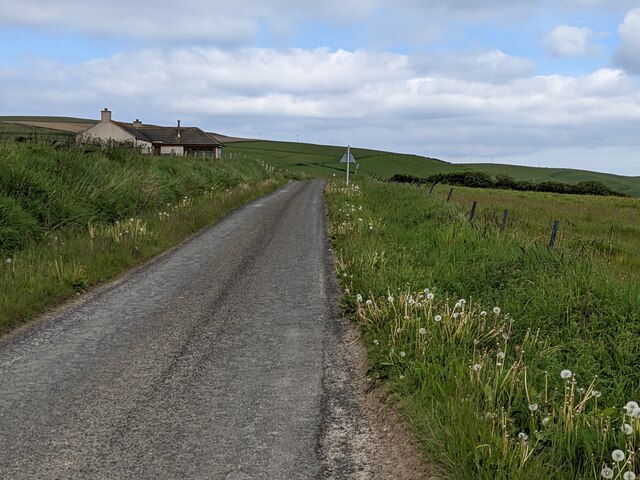
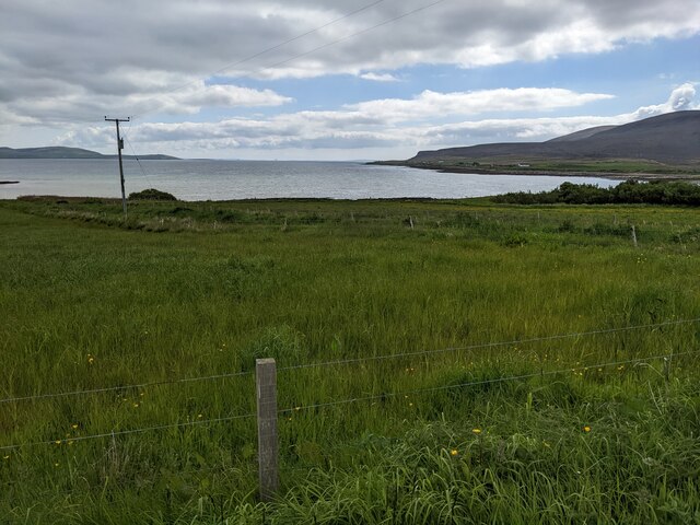
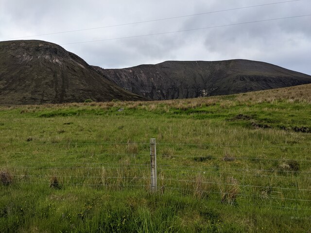
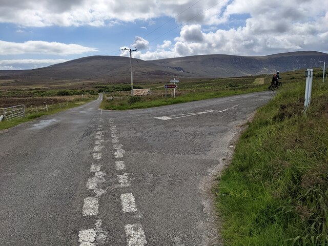
Bay of Quoys Images
Images are sourced within 2km of 58.910584/-3.3120832 or Grid Reference HY2403. Thanks to Geograph Open Source API. All images are credited.


Bay of Quoys is located at Grid Ref: HY2403 (Lat: 58.910584, Lng: -3.3120832)
Unitary Authority: Orkney Islands
Police Authority: Highlands and Islands
What 3 Words
///hobbyists.oiled.intruders. Near Stromness, Orkney Islands
Nearby Locations
Related Wikis

Ward Hill, Hoy
Ward Hill is a hill on the island of Hoy in Orkney, Scotland. It lies at the north of the island between Moaness and Rackwick, and is the highest point...

Dwarfie Stane
The Dwarfie Stane is a megalithic chambered tomb carved out of a titanic block of Devonian Old Red Sandstone located in a steep-sided glaciated valley...

Graemsay
Graemsay () is an island in the western approaches to Scapa Flow, in the Orkney Islands of Scotland. The island has two lighthouses. Graemsay lies within...

Hoy Sound
Hoy Sound is a body of salt water subject to tidal currents situated south of the town of Stromness in the Orkney archipelago of Scotland. The sound lies...
Nearby Amenities
Located within 500m of 58.910584,-3.3120832Have you been to Bay of Quoys?
Leave your review of Bay of Quoys below (or comments, questions and feedback).