Bay of the Tongue

Bay in Orkney

Scotland

Bay of the Tongue

Cliffs near Kame of Hoy
Cliffs near Kame of Hoy Credit: Rog Frost

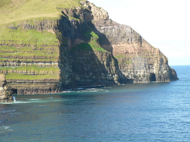
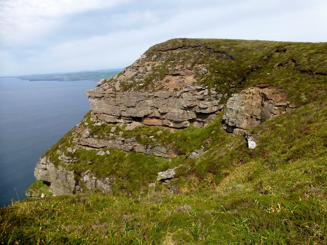
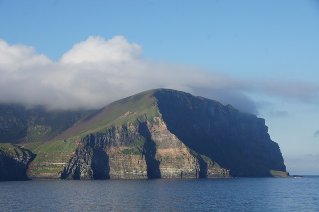
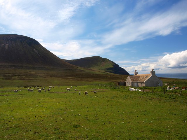
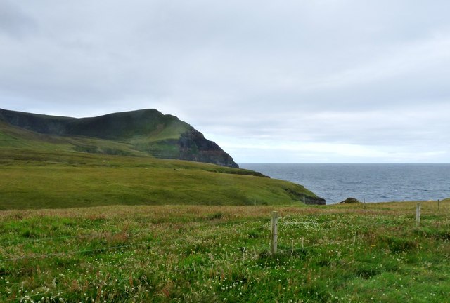
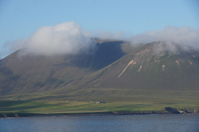
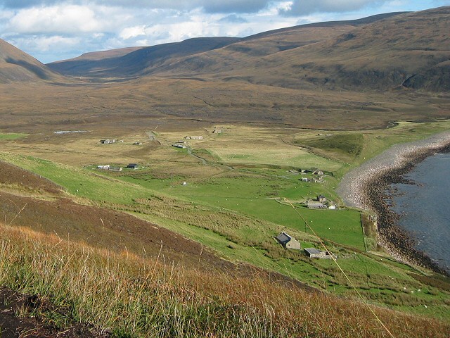
Bay of the Tongue, also known as Bay, is a picturesque coastal area located in the Orkney Islands of Scotland. Situated on the northeastern coast of the island of Sanday, Bay is renowned for its stunning natural beauty and serene atmosphere.

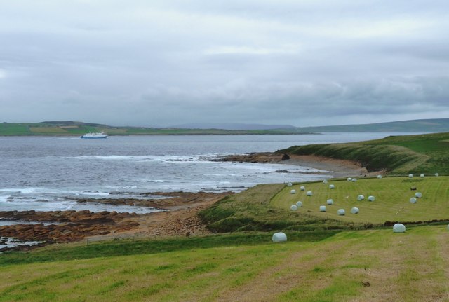
The bay features a long stretch of sandy beach, which is a popular destination for locals and tourists alike. The pristine white sand, combined with the clear turquoise waters, creates a postcard-perfect setting for beachgoers. The bay's unique location provides it with a sense of tranquility, making it an ideal spot for relaxation and unwinding.

Aside from its natural beauty, Bay is also known for its diverse wildlife. Seals can often be spotted lounging on the rocks, while a variety of seabirds soar overhead, including guillemots, terns, and puffins. The bay's rich marine ecosystem also attracts dolphins and porpoises, delighting visitors with the occasional sighting.

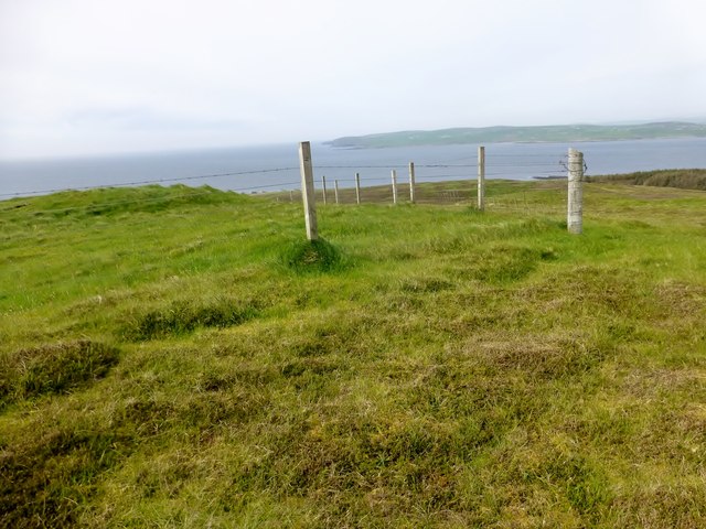
Access to Bay is relatively easy, with a car park located nearby and a short walk leading down to the beach. The area is well-maintained, with public amenities and picnic areas available for visitors to enjoy.

In addition to its natural attractions, Bay also boasts a rich historical heritage. The nearby ruins of the 12th-century Lady Kirk offer a glimpse into the island's past, while the surrounding landscape is dotted with ancient burial mounds and standing stones.

All in all, Bay of the Tongue is a hidden gem within the Orkney Islands, combining breathtaking natural beauty with a sense of tranquility and history.

If you have any feedback on the listing, please let us know in the comments section below.

Bay of the Tongue Images

Images are sourced within 2km of 58.923788/-3.3826338 or Grid Reference HY2004. Thanks to Geograph Open Source API. All images are credited.

Cliffs near Kame of Hoy
Natural arch Rock Strata at the Kame of Hoy
Natural arch
Rock Strata at the Kame of Hoy
Cliffs at Geo of Hellia View of the sheer Hoy cliffs taken from Northlink Ferries "Hamnavoe" en route from Stromness to Scrabster.
Cliffs at Geo of Hellia
View of the sheer Hoy cliffs taken from Northlink Ferries "Hamnavoe" en route from Stromness to Scrabster.
Kame of Hoy Distant view of the headland from Northlink ferries 'Hamnavoe' en route from Scrabster to Stromness.
Kame of Hoy
Distant view of the headland from Northlink ferries 'Hamnavoe' en route from Scrabster to Stromness.
The Kame of Hoy Viewed from the MV Hamnavoe entering Hoy Sound.
The Kame of Hoy
Viewed from the MV Hamnavoe entering Hoy Sound.
Top Of Hellia Fifth TuMP of six on a circuit from the Moaness Ferry with Jim Bloomer and Tricky Speirs. Round Hill, Ward Hill, Cuilags, Sui Fea, Top of Hellia with The Witter to finish before coffee and a cake at the Beneth'ill Cafe.
Name: Top of Hellia
Hill number: 12190
Height: 290m / 951ft
Parent (Ma/M): 1550 Cuilags
Area: 23: Orkney Islands
Class: 2
Grid ref: HY196044 (est)
Drop: 34m
Col: 256m HY195041
Top Of Hellia
Fifth TuMP of six on a circuit from the Moaness Ferry with Jim Bloomer and Tricky Speirs. Round Hill, Ward Hill, Cuilags, Sui Fea, Top of Hellia with The Witter to finish before coffee and a cake at the Beneth'ill Cafe. Name: Top of Hellia Hill number: 12190 Height: 290m / 951ft Parent (Ma/M): 1550 Cuilags Area: 23: Orkney Islands Class: 2 Grid ref: HY196044 (est) Drop: 34m Col: 256m HY195041
Kame of Hoy from the sea Taken from the MV Hamnavoe.
Kame of Hoy from the sea
Taken from the MV Hamnavoe.
Kame of Hoy from the sea Taken from the MV Hamnavoe.
Kame of Hoy from the sea
Taken from the MV Hamnavoe.
Kame of Hoy from the sea With cloud still covering the hills.
Kame of Hoy from the sea
With cloud still covering the hills.
Bog pools, Sui Fea Plateau on Hoy, inland of the big St John's Head crags.
Bog pools, Sui Fea
Plateau on Hoy, inland of the big St John's Head crags.
Murra and the Kame The renovated crofthouse at Murra <a href="https://www.geograph.org.uk/photo/1483912">HY2104 : Murra and Lenders Dale</a> looking towards Lounders Fea and The Kame of Hoy.
It is in an exposed location but very well built and placed to withstand the local climate.
It is an example of a sturdy building which has been tastefully renovated
Murra and the Kame
The renovated crofthouse at Murra HY2104 : Murra and Lenders Dale looking towards Lounders Fea and The Kame of Hoy. It is in an exposed location but very well built and placed to withstand the local climate. It is an example of a sturdy building which has been tastefully renovated
Lenders Dale from the road end at Murra The Kame of Hoy drops steeply into the sea.
Lenders Dale from the road end at Murra
The Kame of Hoy drops steeply into the sea.
Hay harvest above The Flashes Ferry heading through Hoy Sound towards Stromness
Hay harvest above The Flashes
Ferry heading through Hoy Sound towards Stromness
Hoy from the north Looking at the rounded summit of Cuilags, from the Scrabster - Stromness ferry.
Hoy from the north
Looking at the rounded summit of Cuilags, from the Scrabster - Stromness ferry.
The Witter Sixth TuMP of a circuit from the Moaness Ferry with Jim Bloomer and Tricky Speirs. Round Hill, Ward Hill, Cuilags, Sui Fea, Top of Hellia with The Witter to finish before coffee and a cake at the cafe.
Name:The Witter
Hill number:12209
Height: 121m / 397ft
Parent (Ma/M):1549  Ward Hill
Area:23: Orkney Islands
Class:1
Grid ref: HY223046 (est)
Drop: 40m
Col: 81m  HY223039
The Witter
Sixth TuMP of a circuit from the Moaness Ferry with Jim Bloomer and Tricky Speirs. Round Hill, Ward Hill, Cuilags, Sui Fea, Top of Hellia with The Witter to finish before coffee and a cake at the cafe. Name:The Witter Hill number:12209 Height: 121m / 397ft Parent (Ma/M):1549 Ward Hill Area:23: Orkney Islands Class:1 Grid ref: HY223046 (est) Drop: 40m Col: 81m HY223039
Cuilags Summit Climbed up steeply after bagging Ward Hill on a breezy sunny day with Jim Bloomer and Tricky Speirs.
Name: Cuilags
Hill number:1550
Height: 435m / 1427ft
Area:23: Orkney Islands
Class:Ma,4
Grid ref :HY 20992 03365
Summit feature:large cairn (third from E) on possibly man-made mound
Drop: 319m
Col: 116m  HY214025
Cuilags Summit
Climbed up steeply after bagging Ward Hill on a breezy sunny day with Jim Bloomer and Tricky Speirs. Name: Cuilags Hill number:1550 Height: 435m / 1427ft Area:23: Orkney Islands Class:Ma,4 Grid ref :HY 20992 03365 Summit feature:large cairn (third from E) on possibly man-made mound Drop: 319m Col: 116m HY214025
Cloud in front of Lounder's Fea, Hoy Lounder's Fea is part of the hill of Cuilags. The houses at Murra are in the foreground.
Cloud in front of Lounder's Fea, Hoy
Lounder's Fea is part of the hill of Cuilags. The houses at Murra are in the foreground.
Murra, Hoy With Cuilags in the background.
Murra, Hoy
With Cuilags in the background.
Show me another place!

Bay of the Tongue is located at Grid Ref: HY2004 (Lat: 58.923788, Lng: -3.3826338)

Unitary Authority: Orkney Islands

Police Authority: Highlands and Islands

What 3 Words

///duke.inversion.intruders. Near Stromness, Orkney Islands

Related Wikis

Ward Hill, Hoy

Ward Hill is a hill on the island of Hoy in Orkney, Scotland. It lies at the north of the island between Moaness and Rackwick, and is the highest point...

Hoy Sound

Hoy Sound is a body of salt water subject to tidal currents situated south of the town of Stromness in the Orkney archipelago of Scotland. The sound lies...

Breckness House

Breckness House, sometimes known as Breckness Castle, is the site of the 17th century mansion, chapel and burial ground, built by George Graham (1565–1643...

Old Man of Hoy

The Old Man of Hoy is a 449-foot (137-metre) sea stack on Hoy, part of the Orkney archipelago off the north coast of Scotland. Formed from Old Red Sandstone...

Rackwick

Rackwick is a small coastal crofting township in the north west of the island of Hoy in Orkney, Scotland. As well as a handful of tourist amenities the...

Oyster wave energy converter

The Oyster was a hydro-electric wave energy device that used the motion of ocean waves to generate electricity. It was made up of a Power Connector Frame...

Graemsay

Graemsay () is an island in the western approaches to Scapa Flow, in the Orkney Islands of Scotland. The island has two lighthouses. Graemsay lies within...

Dwarfie Stane

The Dwarfie Stane is a megalithic chambered tomb carved out of a titanic block of Devonian Old Red Sandstone located in a steep-sided glaciated valley...

Nearby Amenities

Located within 500m of 58.923788,-3.3826338
Kay Breck
Place: locality
Lat/Long: 58.919741/-3.3864359
Stairs of the Heel
Place: locality
Lat/Long: 58.9224329/-3.3890059
Whelky Geo
Place: locality
Lat/Long: 58.9220237/-3.3791323
The Tongue
Place: locality
Lat/Long: 58.9228096/-3.3828721
Barrier: stile
Lat/Long: 58.9223919/-3.3776575
The data included in this document is from www.openstreetmap.org. The data is made available under ODbL.

Have you been to Bay of the Tongue?

Leave your review of Bay of the Tongue below (or comments, questions and feedback).