Dams Bay
Bay in Glamorgan
Wales
Dams Bay

Dams Bay is a picturesque coastal area located in Glamorgan, Wales. Situated on the southern coast of the country, it boasts stunning views of the Bristol Channel and offers a range of activities for visitors to enjoy.
The bay is named after the nearby Dams Pill, a small stream that flows into the sea. It is known for its sandy beach, which stretches for approximately two miles, providing ample space for sunbathing, picnicking, and beach games. The beach is also popular among water sports enthusiasts, who can indulge in activities such as swimming, surfing, and kiteboarding in the clear blue waters.
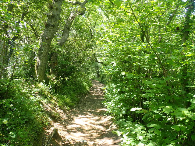
For those seeking a more relaxed experience, Dams Bay offers peaceful walks along the shoreline, allowing visitors to take in the fresh sea air and enjoy the beautiful coastal scenery. The bay is surrounded by rolling green hills, providing a picturesque backdrop that completes the idyllic setting.
In addition to its natural beauty, Dams Bay is also home to a range of amenities. There are several cafes, restaurants, and shops located nearby, offering a variety of cuisine and souvenirs for visitors to enjoy. The bay also has ample parking facilities, making it easily accessible for both locals and tourists.
Overall, Dams Bay in Glamorgan is a charming coastal haven, offering a combination of natural beauty, recreational activities, and modern amenities. Whether one is seeking adventure or a tranquil escape, this bay has something to offer for everyone.
If you have any feedback on the listing, please let us know in the comments section below.
Dams Bay Images
Images are sourced within 2km of 51.382792/-3.3338389 or Grid Reference ST0765. Thanks to Geograph Open Source API. All images are credited.


Dams Bay is located at Grid Ref: ST0765 (Lat: 51.382792, Lng: -3.3338389)
Unitary Authority: The Vale of Glamorgan
Police Authority: South Wales
What 3 Words
///intrigues.ratio.justifies. Near Rhoose, Vale of Glamorgan
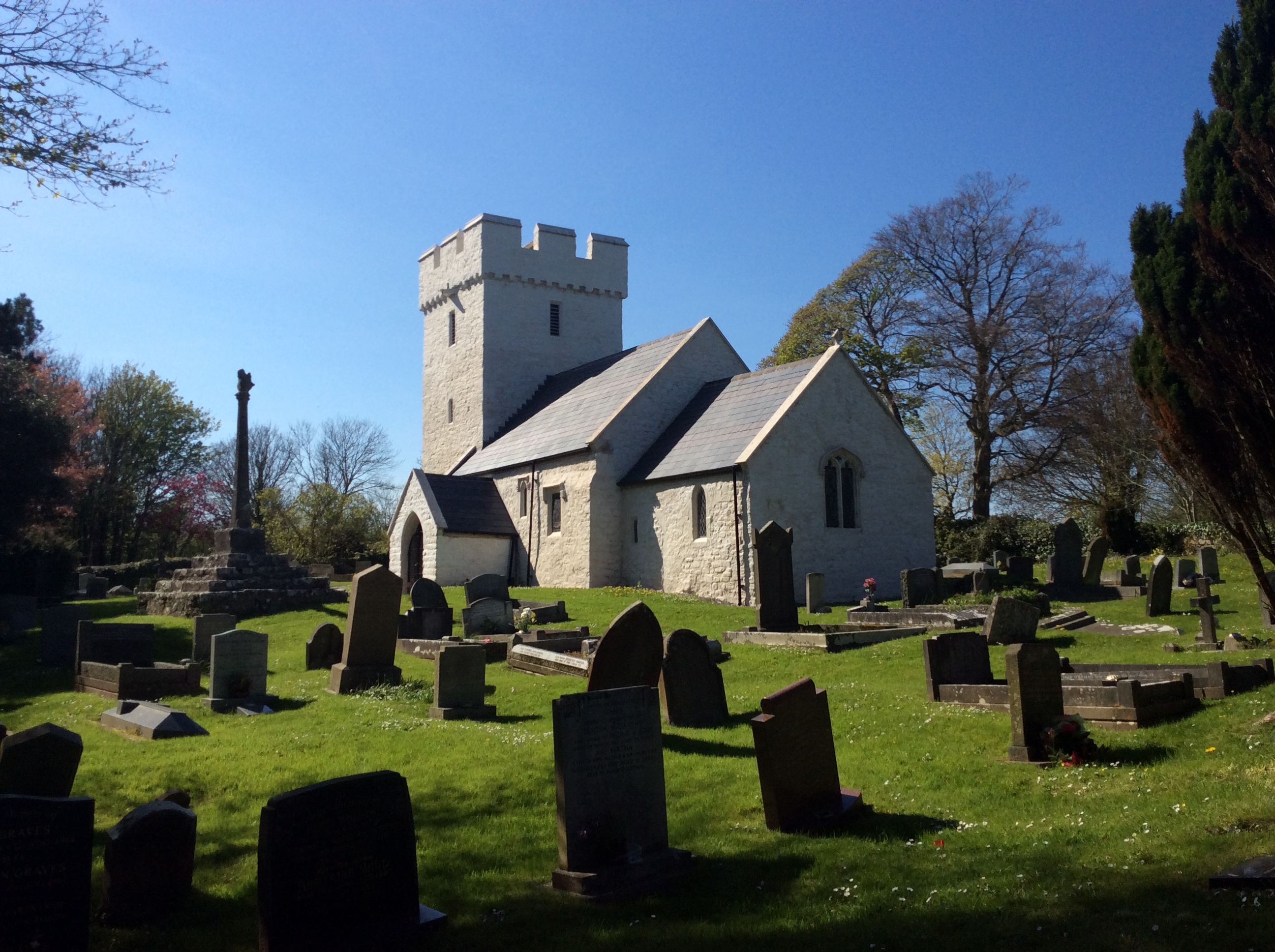
Nearby Locations
Related Wikis
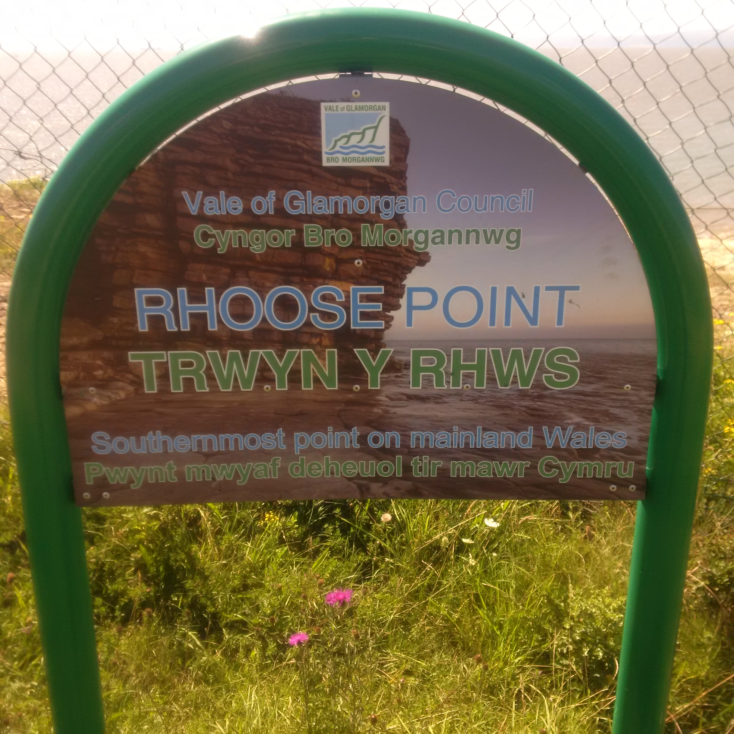
Rhoose Point
Rhoose Point (Welsh: Trwyn y Rhws) is a headland and a settlement near the village of Rhoose in the Vale of Glamorgan, Wales. Rhoose Point is the most...

The Bulwarks, Porthkerry
The Bulwarks, Porthkerry is a promontory fort in Rhoose, Vale of Glamorgan, on the southern coast of Wales overlooking the Bristol Channel. It probably...

Rhoose Cardiff International Airport railway station
Rhoose Cardiff International Airport railway station is a railway station that serves Cardiff Airport and the village of Rhoose in southeast Wales. A dedicated...
Porthkerry
The hamlet of Porthkerry (Welsh: Porthceri) lies on the Bristol Channel coast of South Wales within the community of Rhoose between that village and the...
Nearby Amenities
Located within 500m of 51.382792,-3.3338389Have you been to Dams Bay?
Leave your review of Dams Bay below (or comments, questions and feedback).