Barlocco Bay

Bay in Kirkcudbrightshire

Scotland

Barlocco Bay

Natural arch at Brock's Holes Scale is deceptive. You can walk both over and under this arch - although, ideally, in calmer weather than this!
Natural arch at Brock's Holes Credit: Simon Brooke

Barlocco Bay is a picturesque bay located in Kirkcudbrightshire, a historic county in southwest Scotland. Nestled along the Solway Firth, this bay offers breathtaking views and a tranquil atmosphere for visitors and locals alike.

The bay is characterized by its sandy beach, which stretches for approximately 1.5 kilometers. The beach is a popular spot for families, sunbathers, and water sports enthusiasts. During low tide, the bay reveals vast stretches of sand and creates the perfect opportunity for long walks and exploring the shoreline.

The surrounding landscape is dotted with rolling hills and lush greenery, adding to the bay's charm. The area is home to a diverse range of wildlife, including seabirds, seals, and occasionally dolphins. It is highly recommended to bring binoculars for birdwatching or simply to enjoy the natural beauty of the bay.

Barlocco Bay also has a rich history, with evidence of human settlement dating back thousands of years. Archaeological finds in the area include ancient artifacts and structures, providing insights into the lives of past inhabitants. The bay's proximity to Kirkcudbright, a vibrant town known for its art and culture, allows visitors to explore a range of attractions, including art galleries, museums, and local shops.

Overall, Barlocco Bay is a hidden gem on Scotland's southwest coast. Its stunning scenery, peaceful ambiance, and historical significance make it a must-visit destination for nature lovers and history enthusiasts alike.

If you have any feedback on the listing, please let us know in the comments section below.

Barlocco Bay Images

Images are sourced within 2km of 54.802382/-3.8809253 or Grid Reference NX7946. Thanks to Geograph Open Source API. All images are credited.

Natural arch at Brock's Holes Scale is deceptive. You can walk both over and under this arch - although, ideally, in calmer weather than this!
Natural arch at Brock's Holes
Scale is deceptive. You can walk both over and under this arch - although, ideally, in calmer weather than this!
Natural Arch on Rascarrel Shore
Natural Arch on Rascarrel Shore With Rascarrel Bay and Airds Hill in the distance
Natural Arch on Rascarrel Shore
With Rascarrel Bay and Airds Hill in the distance
Footbridge over Rascarrel Burn
Rascarrel Cottage, Auchencairn.
Rascarrel Burn flowing into Rascarrel Bay At high water the burn is full. The Solway Firth looks calm, and the Cumbrian mountains can be clearly seen in the distance.
Rascarrel Burn flowing into Rascarrel Bay
At high water the burn is full. The Solway Firth looks calm, and the Cumbrian mountains can be clearly seen in the distance.
View from abandoned beach hut Rapidly falling into disrepair this hut was quite substantial with cooking and sleeping quarters, all seemingly now abandoned.
View from abandoned beach hut
Rapidly falling into disrepair this hut was quite substantial with cooking and sleeping quarters, all seemingly now abandoned.
Rocky foreshore at Rascarrel Bay A small pebble beach about 300m south of Rascarrel Burn, accessible by a rough path.
Rocky foreshore at Rascarrel Bay
A small pebble beach about 300m south of Rascarrel Burn, accessible by a rough path.
Beached tree trunk at Rascarrel Bay On a small pebble beach a few hundred yards south of Rascarrel Burn.
Beached tree trunk at Rascarrel Bay
On a small pebble beach a few hundred yards south of Rascarrel Burn.
Rascarrel Bay
Rascarrel Bay
Chalets at Rascarrel Bay
Rascarrel Bay
Rascarrel Bay
Track above the shore, Rascarrel Bay
Rascarrel Bay Airds Heugh is just to the right behind the huts and Big Airds Hill is to the left.
Rascarrel Bay
Airds Heugh is just to the right behind the huts and Big Airds Hill is to the left.
Rascarrel Cottage Rascarrel Farm is behind the cottage. A brown hare is feeding in the field.
Rascarrel Cottage
Rascarrel Farm is behind the cottage. A brown hare is feeding in the field.
Road to Rascarrel Farm
Road to Auchencairn
Road to Auchencairn
Path to Rascarrel Bay Then on to Balcary Bay.
Path to Rascarrel Bay
Then on to Balcary Bay.
Show me another place!

Barlocco Bay is located at Grid Ref: NX7946 (Lat: 54.802382, Lng: -3.8809253)

Unitary Authority: Dumfries and Galloway

Police Authority: Dumfries and Galloway

What 3 Words

///proved.stopwatch.beauty. Near Kirkcudbright, Dumfries & Galloway

Nearby Locations

Barlocco Bay

Related Wikis

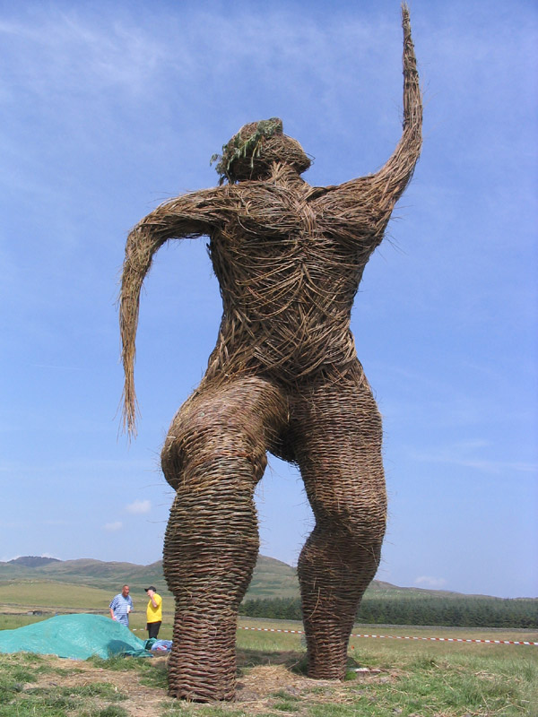
Wickerman Festival

The Wickerman Festival was an annual music festival held near Auchencairn in Dumfries and Galloway, Scotland. Dubbed "Scotland's Alternative Music festival...

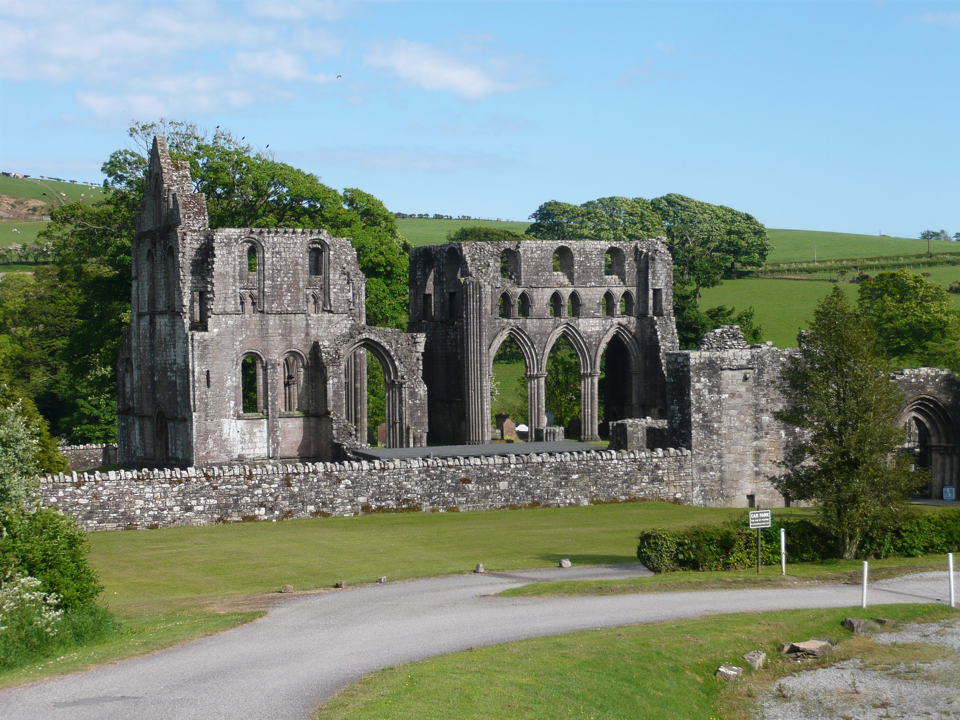
Dundrennan Abbey

Dundrennan Abbey, in Dundrennan, Scotland, near to Kirkcudbright, was a Cistercian monastery in the Romanesque architectural style, established in 1142...

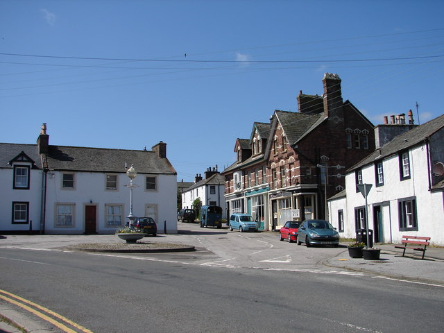
Dundrennan

Dundrennan (Gaelic: Dun Droighnein) is a village Dumfries and Galloway, Scotland, about 5 miles (8 km) east of Kirkcudbright. Its population is around...

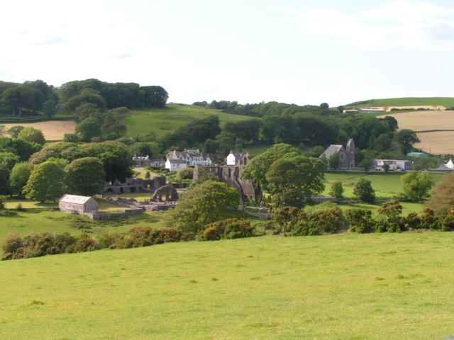
Auchencairn

Auchencairn ([ɔxən'kʰɛ:(r)n]) is a village in the historical county of Kirkcudbrightshire in the Dumfries and Galloway region of Scotland. It is located...

Nearby Amenities

Located within 500m of 54.802382,-3.8809253
Source: PGS
Lat/Long: 54.8002406/-3.8876295
Source: PGS
Lat/Long: 54.8004338/-3.8870334
Source: PGS
Lat/Long: 54.800066/-3.8867597
Source: PGS
Lat/Long: 54.8006296/-3.8859277
Source: PGS
Lat/Long: 54.8010486/-3.88635
Source: PGS
Lat/Long: 54.8014748/-3.8857687
Source: PGS
Lat/Long: 54.8019456/-3.8853057
Source: PGS
Lat/Long: 54.8022427/-3.8840702
Source: PGS
Lat/Long: 54.802584/-3.8818563
Source: PGS
Lat/Long: 54.8027476/-3.8802706
Source: PGS
Lat/Long: 54.8035167/-3.878673
Source: PGS
Lat/Long: 54.80362/-3.8781074
Source: PGS
Lat/Long: 54.8034092/-3.8774434
Source: PGS
Lat/Long: 54.8029453/-3.8773255
Source: PGS
Lat/Long: 54.8028263/-3.8762854
Source: PGS
Lat/Long: 54.8029869/-3.874876
Source: PGS
Lat/Long: 54.8035963/-3.8736267
Barlocoo Bay
Natural: bay
Source: Popular Edition (Scotland)
Lat/Long: 54.8024033/-3.8801747
The data included in this document is from www.openstreetmap.org. The data is made available under ODbL.

Have you been to Barlocco Bay?

Leave your review of Barlocco Bay below (or comments, questions and feedback).