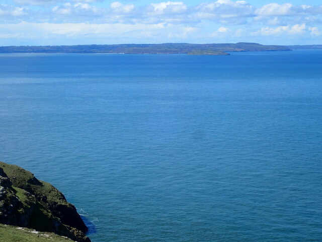
Porth Penmon
Bay in Anglesey
Wales
Porth Penmon
The requested URL returned error: 429 Too Many Requests
If you have any feedback on the listing, please let us know in the comments section below.
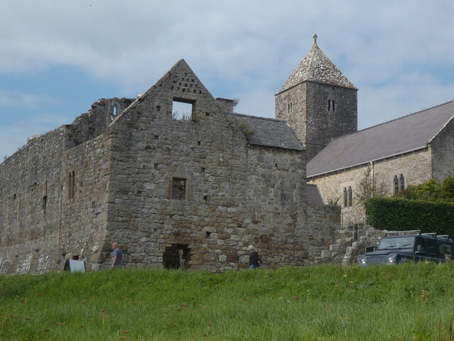
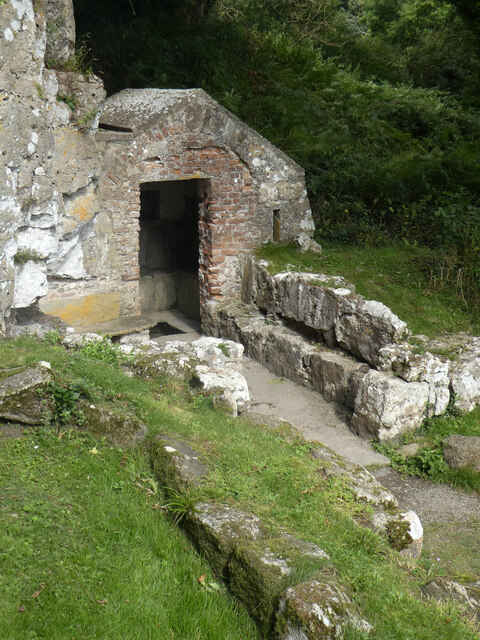
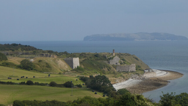
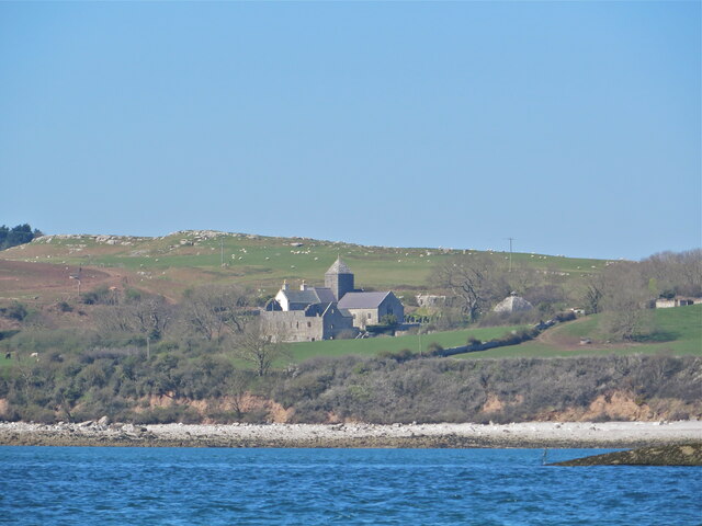
Porth Penmon Images
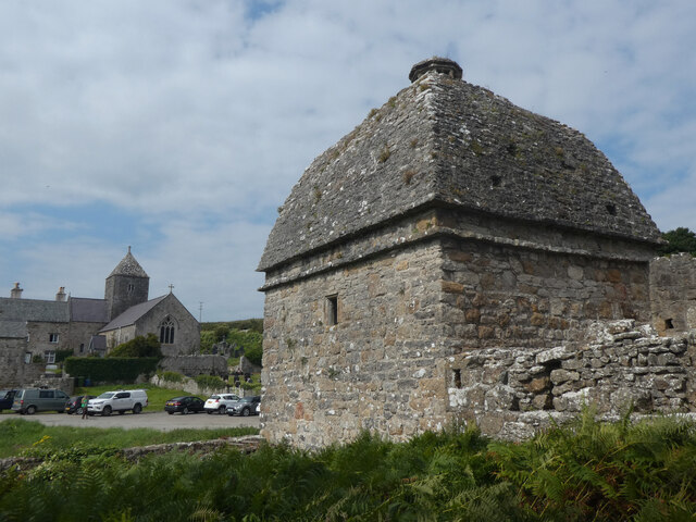
Images are sourced within 2km of 53.301045/-4.0546556 or Grid Reference SH6380. Thanks to Geograph Open Source API. All images are credited.

Porth Penmon is located at Grid Ref: SH6380 (Lat: 53.301045, Lng: -4.0546556)
Unitary Authority: Isle of Anglesey
Police Authority: North Wales
What 3 Words
///nylon.slides.hails. Near Llangoed, Isle of Anglesey
Nearby Locations
Related Wikis

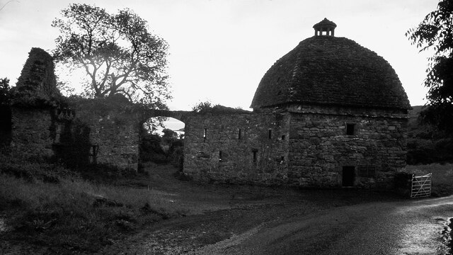
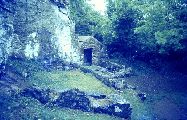
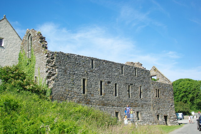
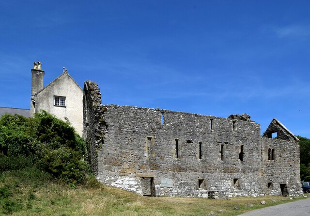
Penmon
Penmon is a promontory, village and ecclesiastical parish on the eastern tip of the Isle of Anglesey in Wales, about 3 miles (4.8 km) east of the town...
Caim, Anglesey
Caim is a hamlet in the community of Llangoed, Anglesey, Wales, which is 144.3 miles (232.2 km) from Cardiff and 225.8 miles (363.4 km) from London. Cafnan...
Cornelyn
Cornelyn is an area in the community of Llangoed, Anglesey, Wales, which is 131.2 miles (211.2 km) from Cardiff and 207.4 miles (333.8 km) from London...
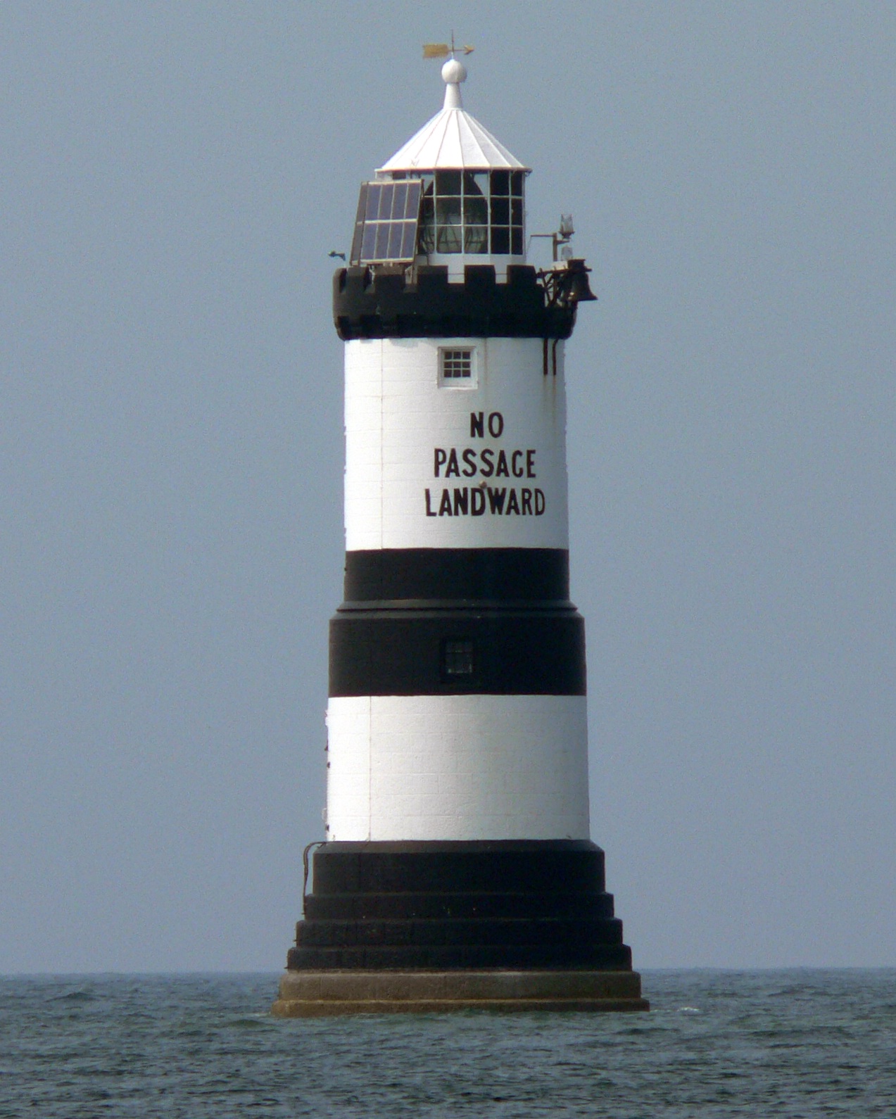
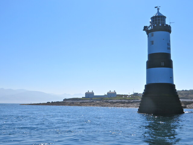
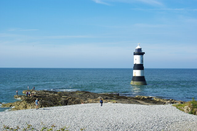
Trwyn Du Lighthouse
Trwyn Du Lighthouse, also known as Penmon Lighthouse, is a lighthouse between Black Point near Penmon and Ynys Seiriol, or Puffin Island, at the eastern...
Nearby Amenities
Located within 500m of 53.301045,-4.0546556Have you been to Porth Penmon?
Leave your review of Porth Penmon below (or comments, questions and feedback).