Caswell Bay
Bay in Glamorgan
Wales
Caswell Bay
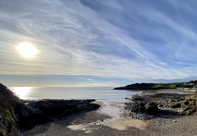
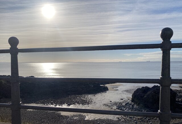
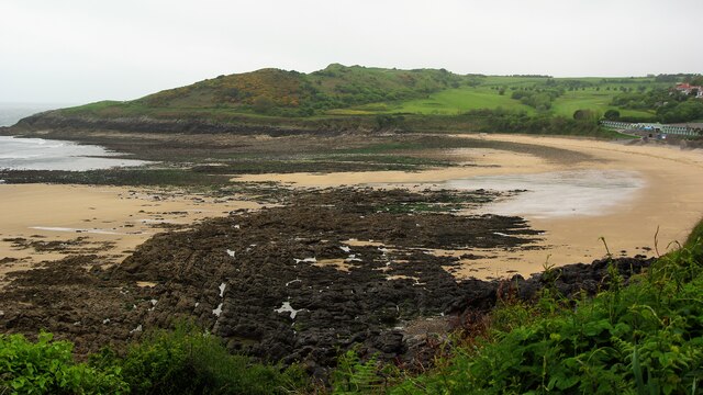
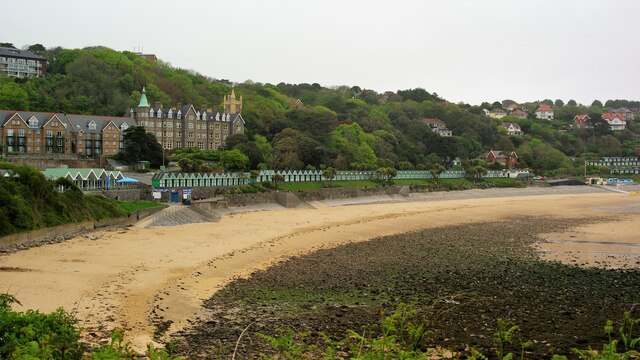
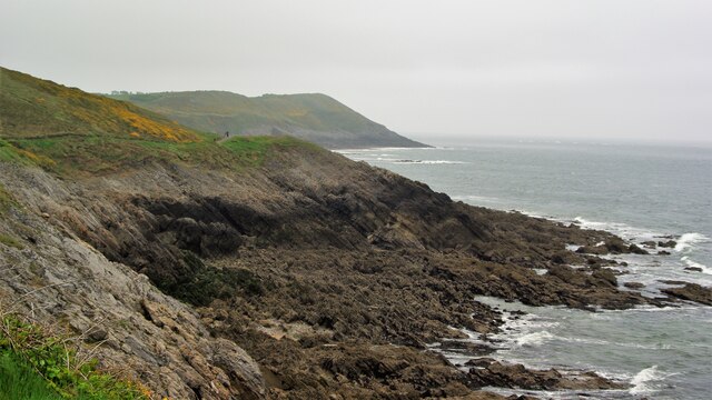
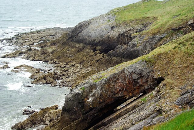
Caswell Bay is a picturesque sandy beach located on the Gower Peninsula in Glamorgan, Wales. It is situated about 5 miles west of Swansea city center and is easily accessible by road, with ample parking facilities available nearby. The bay is nestled between two headlands, offering shelter from strong winds and creating a tranquil atmosphere.
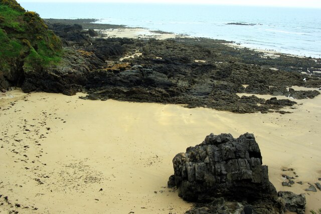
The beach itself is approximately 230 meters long, with soft golden sand that extends at low tide, providing a spacious area for beachgoers. The waters of Caswell Bay are known for their cleanliness and clarity, making it an ideal spot for swimming, paddleboarding, and kayaking. Lifeguard patrols are present during the summer months, ensuring the safety of visitors.
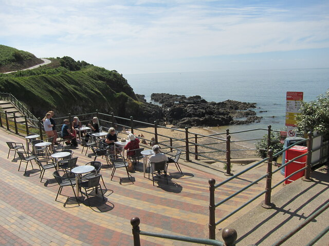
The bay is surrounded by stunning natural beauty, with rugged cliffs and verdant hillsides offering breathtaking views. It also boasts a promenade that runs parallel to the beach, lined with cafes, restaurants, and shops, providing visitors with a range of amenities and refreshments.
Caswell Bay is a popular destination for locals and tourists alike, particularly during the summer season when it becomes a hive of activity. However, even during peak times, the bay manages to maintain a sense of tranquility and is never overcrowded.
Overall, Caswell Bay is a charming and well-maintained coastal area that offers a perfect blend of natural beauty and convenience, making it a must-visit destination for beach enthusiasts and nature lovers.
If you have any feedback on the listing, please let us know in the comments section below.
Caswell Bay Images
Images are sourced within 2km of 51.568198/-4.0315979 or Grid Reference SS5987. Thanks to Geograph Open Source API. All images are credited.


Caswell Bay is located at Grid Ref: SS5987 (Lat: 51.568198, Lng: -4.0315979)
Unitary Authority: Swansea
Police Authority: South Wales
What 3 Words
///animator.inkjet.racing. Near Bishopston, Swansea
Nearby Locations
Related Wikis
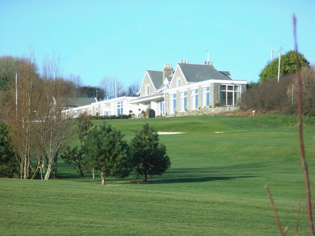
Langland Bay Golf Club
Langland Bay Golf Club is an 18-hole golf course known in an Area of Outstanding Natural Beauty overlooking Langland Bay near Swansea, Wales, UK.The first...

Caswell Bay
Caswell Bay (Welsh: Bae Cas-wellt; meaning: straw fortress), is a beach on the south east of the Gower Peninsula, Swansea, Wales. It is a sandy beach popular...

Bishop's Wood
Bishop's Wood (Welsh: Coed yr Esgob) is a nature reserve in the Gower Peninsula, south Wales. The area consists of 46 acres (19 hectares) of limestone...
Brandy Cove
Brandy Cove (Welsh: Bae gîl) is a very small beach in the Gower Peninsula, south Wales, that is much less accessible than Caswell Bay immediately to the...
Nearby Amenities
Located within 500m of 51.568198,-4.0315979Have you been to Caswell Bay?
Leave your review of Caswell Bay below (or comments, questions and feedback).