Bruce's Bay

Bay in Perthshire

Scotland

Bruce's Bay

Track in the Achray Forest Just round the corner we were about to come on a huge number of fallen trees, covering the track.  It took us over 30 minutes to cover the next 200 yards of track, ducking and diving trees and not helped by a trackside ditch a foot deep in water.
Track in the Achray Forest Credit: Gordon Brown

The requested URL returned error: 429 Too Many Requests

If you have any feedback on the listing, please let us know in the comments section below.
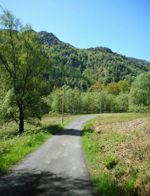
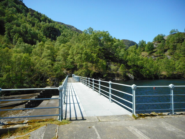
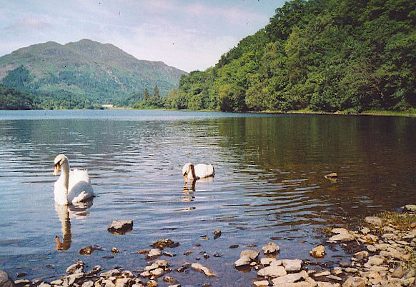
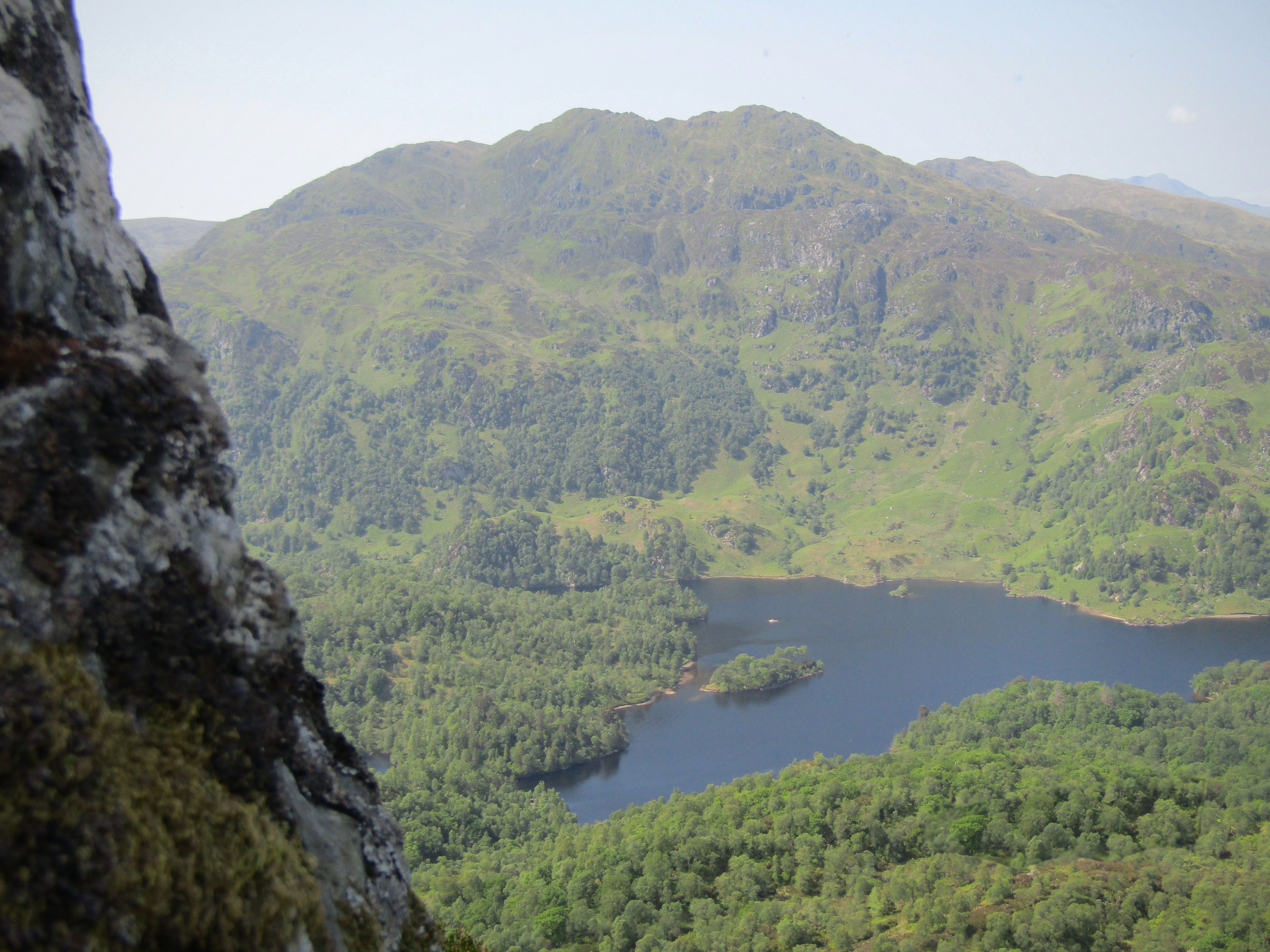
Bruce's Bay Images

Images are sourced within 2km of 56.230804/-4.4089919 or Grid Reference NN5006. Thanks to Geograph Open Source API. All images are credited.

Track in the Achray Forest Just round the corner we were about to come on a huge number of fallen trees, covering the track.  It took us over 30 minutes to cover the next 200 yards of track, ducking and diving trees and not helped by a trackside ditch a foot deep in water.
Track in the Achray Forest
Just round the corner we were about to come on a huge number of fallen trees, covering the track. It took us over 30 minutes to cover the next 200 yards of track, ducking and diving trees and not helped by a trackside ditch a foot deep in water.
Trees across the track in the Achray Forest It took us over 30 minutes to cover the next 200 yards of track, ducking and diving trees and not helped by a trackside ditch a foot deep in water.
Trees across the track in the Achray Forest
It took us over 30 minutes to cover the next 200 yards of track, ducking and diving trees and not helped by a trackside ditch a foot deep in water.
Are we getting too old for this? It has taken us over 30 minutes to cover the last 200 yards or so of track, ducking and diving trees and not helped by a trackside ditch a foot deep in water.  But the worst was now over!
Are we getting too old for this?
It has taken us over 30 minutes to cover the last 200 yards or so of track, ducking and diving trees and not helped by a trackside ditch a foot deep in water. But the worst was now over!
Blocked path The sign says the path is blocked but fails to say why.
Blocked path
The sign says the path is blocked but fails to say why.
SS Sir Walter Scott, the engine room Looking down from the main deck.
SS Sir Walter Scott, the engine room
Looking down from the main deck.
SS Sir Walter Scott at Loch Katrine Pier - 1998 This shows the vessel before the addition of the forward deck cabin and the new funnel <a title="https://www.geograph.org.uk/photo/6858686" href="https://www.geograph.org.uk/photo/6858686">Link</a> – not – in my opinion – an improvement.
SS Sir Walter Scott at Loch Katrine Pier - 1998
This shows the vessel before the addition of the forward deck cabin and the new funnel Link – not – in my opinion – an improvement.
Sad view of the SS Sir Walter Scott Tied up and awaiting new boiler and other repairs, the venerable steam ship looks unlikely to be in service in summer 2022.
Sad view of the SS Sir Walter Scott
Tied up and awaiting new boiler and other repairs, the venerable steam ship looks unlikely to be in service in summer 2022.
View of Loch Katrine leaving the pier
The Lady of the Lake leaves Trossachs Pier for an excursion on Loch Katrine
The waters from the Glen Finglas Reservoir, 2 miles to the east, enter Loch Katrine
Waterfall on the Achray Water The Achray Water splits into two separate parts upstream from here and these join up again downstream. This is therefore only about half of the full flow, but still produces impressive falls.
Waterfall on the Achray Water
The Achray Water splits into two separate parts upstream from here and these join up again downstream. This is therefore only about half of the full flow, but still produces impressive falls.
Pass of Achray On the road to the Loch Katrine Dam. Ben Venue is in the distance.

This view replicates the first image for this square <a href="https://www.geograph.org.uk/photo/94439">NN4906 : Pass of Achray</a> taken in 2002 and submitted in 2005.
Pass of Achray
On the road to the Loch Katrine Dam. Ben Venue is in the distance. This view replicates the first image for this square NN4906 : Pass of Achray taken in 2002 and submitted in 2005.
Road to the dam Heading for the Loch Katrine Dam, with Ben Venue in the distance.
Road to the dam
Heading for the Loch Katrine Dam, with Ben Venue in the distance.
Craigleven House A private residence. It was probably connected with the nearby Loch Katrine Dam and related water works.
Craigleven House
A private residence. It was probably connected with the nearby Loch Katrine Dam and related water works.
Buildings at the dam Storage sheds beside the Loch Katrine Dam. The shed on the left is actually a boat shed, and leads directly into the water of Loch Katrine. The sign to the right of the door of the central building says:

TEST POINT
Cable Avoidance Tool
Buildings at the dam
Storage sheds beside the Loch Katrine Dam. The shed on the left is actually a boat shed, and leads directly into the water of Loch Katrine. The sign to the right of the door of the central building says: TEST POINT Cable Avoidance Tool
Loch Katrine Dam Also known as the Achray Dam. The original dam was constructed around 1857. It was rebuilt in 1902 when the water level of Loch Katrine was raised; and again in 1919, when it was raised again. It controls the flow of water from the loch to Loch Achray (hence the name, Achray Dam). It is Category C listed <span class="nowrap"><a title="https://portal.historicenvironment.scot/designation/LB51285" rel="nofollow ugc noopener" href="https://portal.historicenvironment.scot/designation/LB51285">Link</a><img style="margin-left:2px;" alt="External link" title="External link - shift click to open in new window" src="https://s1.geograph.org.uk/img/external.png" width="10" height="10"/></span>.

This view replicates the first image for this square <a href="https://www.geograph.org.uk/photo/70401">NN4806 : Loch Katrine Dam</a> taken and submitted in 2005.
Loch Katrine Dam
Also known as the Achray Dam. The original dam was constructed around 1857. It was rebuilt in 1902 when the water level of Loch Katrine was raised; and again in 1919, when it was raised again. It controls the flow of water from the loch to Loch Achray (hence the name, Achray Dam). It is Category C listed LinkExternal link. This view replicates the first image for this square NN4806 : Loch Katrine Dam taken and submitted in 2005.
Storage shed A storage shed beside the Loch Katrine Dam.
Storage shed
A storage shed beside the Loch Katrine Dam.
Craigleven House A private residence. It was probably connected with the nearby Loch Katrine Dam from where this view is taken.
Craigleven House
A private residence. It was probably connected with the nearby Loch Katrine Dam from where this view is taken.
Show me another place!

Bruce's Bay is located at Grid Ref: NN5006 (Lat: 56.230804, Lng: -4.4089919)

Unitary Authority: Stirling

Police Authority: Forth Valley

What 3 Words

///form.drifters.relishes. Near Callander, Stirling

Nearby Locations

Bruce's Bay

Related Wikis

Loch Achray

Loch Achray is a small freshwater loch 11 km (6.8 mi) west of Callander in Stirling district, Scotland. The loch lies between Loch Katrine and Loch Venachar...

Trossachs

The Trossachs (; Scottish Gaelic: Na Tròiseachan) generally refers to an area of wooded glens, braes, and lochs lying to the east of Ben Lomond in the...

Ben A'an

Ben A'an is a mountain in the Trossachs in Scotland. The pointed peak of its west top (454 m/1491 ft) resembles a small mountain. == Location == Ben A...

Dalrigh

Dalrigh is a hamlet in Scotland near Tyndrum. The name means "The King's Field" in Scottish Gaelic. The origin of the name stems specifically from the...

Nearby Amenities

Located within 500m of 56.230804,-4.4089919
Post Box
Ref: FK17 121
Lat/Long: 56.2271792/-4.4134085
Tourism: viewpoint
Lat/Long: 56.2303302/-4.4146832
Barrier: stile
Lat/Long: 56.2336221/-4.4053648
Turning Loop
Lat/Long: 56.2307964/-4.4060326
Power: pole
Lat/Long: 56.2289256/-4.4162313
Power: pole
Lat/Long: 56.2293035/-4.4155724
Power: pole
Lat/Long: 56.2297733/-4.4147315
Power: pole
Lat/Long: 56.2304186/-4.4135915
Power: pole
Lat/Long: 56.2308197/-4.4128615
Power: pole
Lat/Long: 56.2312406/-4.4121147
Power: pole
Lat/Long: 56.2317208/-4.4118261
Power: pole
Lat/Long: 56.2322951/-4.4114935
Power: pole
Lat/Long: 56.2325742/-4.4113471
Power: pole
Lat/Long: 56.2330764/-4.4110479
Power: pole
Lat/Long: 56.2331438/-4.4100104
Power: pole
Lat/Long: 56.2332113/-4.4086654
Power: pole
Lat/Long: 56.233324/-4.4066699
Power: pole
Lat/Long: 56.2334973/-4.4035616
The data included in this document is from www.openstreetmap.org. The data is made available under ODbL.

Have you been to Bruce's Bay?

Leave your review of Bruce's Bay below (or comments, questions and feedback).