Lligwy Bay
Bay in Anglesey
Wales
Lligwy Bay

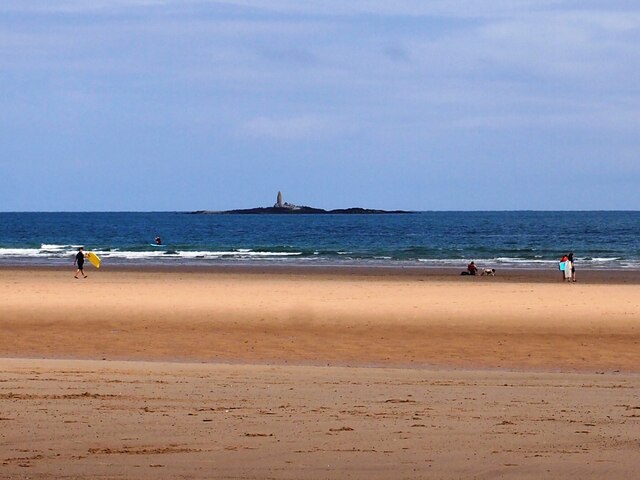
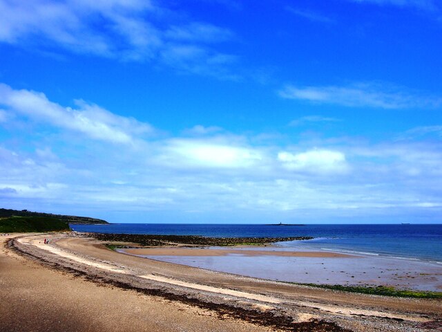
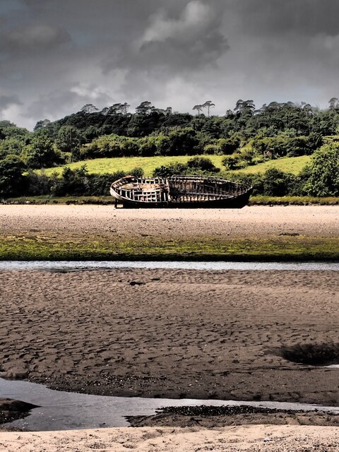
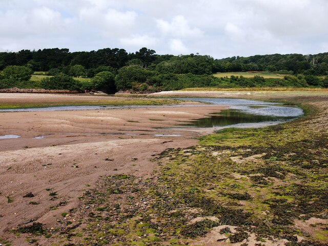
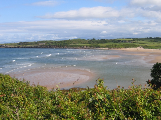
Lligwy Bay is a picturesque bay located on the eastern coast of Anglesey, an island off the northwest coast of Wales. It is situated between the villages of Moelfre and Dulas, and is known for its stunning sandy beach and beautiful natural surroundings.
The bay stretches for approximately 2 miles and is backed by rolling sand dunes, with the Lligwy River flowing into the bay at its northern end. The beach itself is wide and sandy, making it a popular spot for families and beachgoers during the summer months. The waters of Lligwy Bay are relatively calm and safe for swimming, attracting both locals and tourists alike.
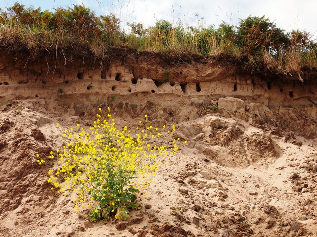
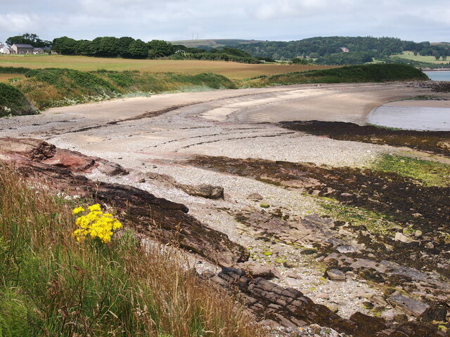
The bay is also known for its wildlife and natural beauty. It is a designated Area of Outstanding Natural Beauty, with its dunes and grasslands providing a habitat for a variety of flora and fauna. Birdwatchers can often spot a range of seabirds, including oystercatchers and curlews, along with occasional sightings of seals.
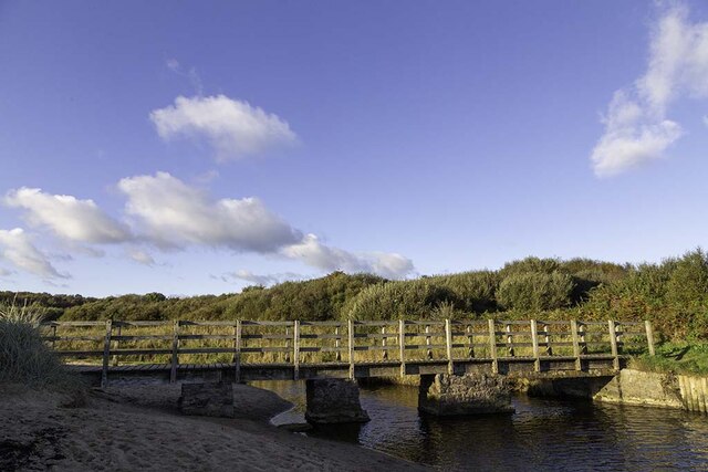
Lligwy Bay has good accessibility, with a large car park and toilet facilities located nearby. There is also a café and a campsite in close proximity, providing amenities for visitors. The area offers picturesque coastal walks, with the nearby Lligwy Burial Chamber and the historic village of Moelfre adding cultural and historical interest to the bay. Overall, Lligwy Bay is a stunning and tranquil destination, offering a perfect blend of natural beauty and recreational opportunities.
If you have any feedback on the listing, please let us know in the comments section below.
Lligwy Bay Images
Images are sourced within 2km of 53.363364/-4.2591149 or Grid Reference SH4987. Thanks to Geograph Open Source API. All images are credited.


Lligwy Bay is located at Grid Ref: SH4987 (Lat: 53.363364, Lng: -4.2591149)
Unitary Authority: Isle of Anglesey
Police Authority: North Wales
What 3 Words
///spine.testers.organist. Near Moelfre, Isle of Anglesey
Nearby Locations
Related Wikis
Lligwy Bay
Lligwy Bay (Welsh: Traeth Lligwy) is a bay of the Welsh island of Anglesey.It is on the north east of the island, to the north of the village of Moelfre...
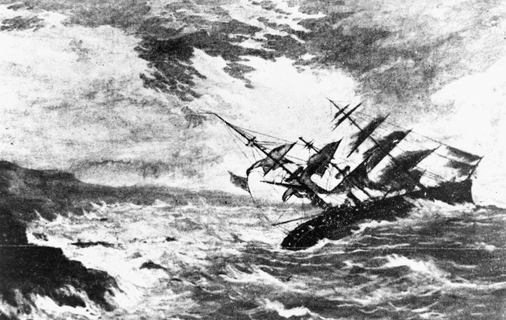
Royal Charter (ship)
The Royal Charter was a steam clipper which was wrecked off the beach of Porth Helaeth in Dulas Bay on the northeast coast of Anglesey, Wales on 26 October...

Nant y Perfedd
Nanty Perfedd is an area in the community of Moelfre, Anglesey, Wales, which is 137.6 miles (221.5 km) from Cardiff and 216.3 miles (348.1 km) from London...
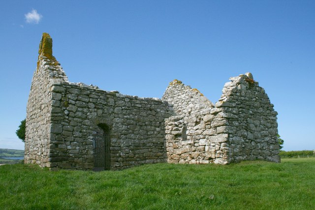
Capel Lligwy
Capel Lligwy (sometimes referred to as Hen Gapel Lligwy) is a ruined chapel near Rhos Lligwy in Anglesey, north Wales, dating back to the first half of...

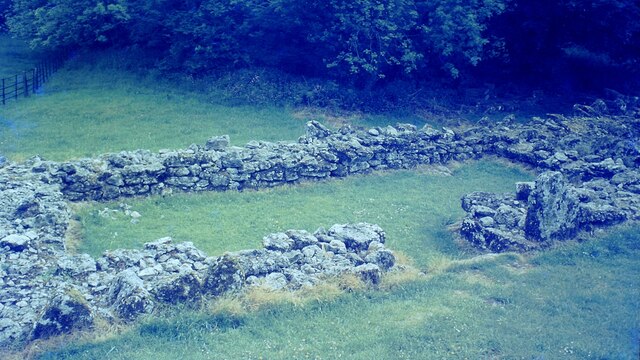
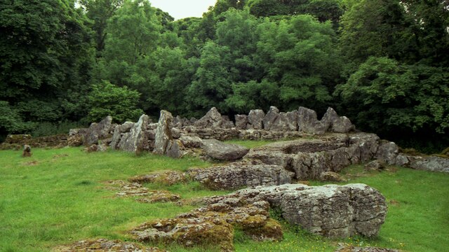
Din Lligwy
Din Lligwy (or Din Llugwy) hut circle is an ancient village site near the east coast of Anglesey, close to the village of Moelfre, North Wales. Excavations...
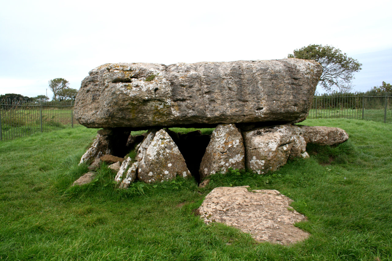
Lligwy Burial Chamber
Lligwy Burial Chamber is a Neolithic burial chamber in Lligwy, near the east coast of Anglesey, Wales, United Kingdom. It consists of a circle of upright...
Dulas Bay
Dulas Bay (Welsh: Bae Dulas) is a small bay on the north east coast of Anglesey (Ynys Môn), north Wales, forming the boundary between Llaneilian and Moelfre...

Brynrefail
Brynrefail () is a small village in Gwynedd, Wales. == Location == It is located in the civil parish of Moelfre on the A5025 between Amlwch and Benllech...
Nearby Amenities
Located within 500m of 53.363364,-4.2591149Have you been to Lligwy Bay?
Leave your review of Lligwy Bay below (or comments, questions and feedback).