Porth Eilian
Bay in Anglesey
Wales
Porth Eilian
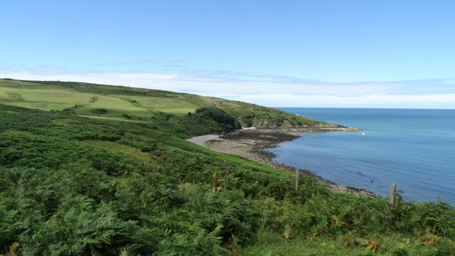
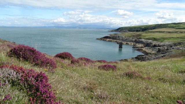
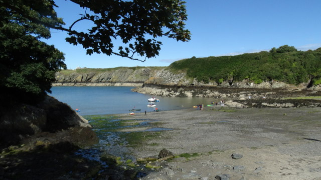
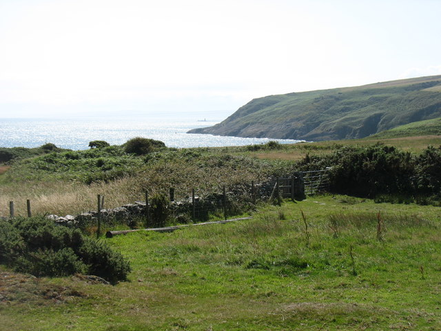
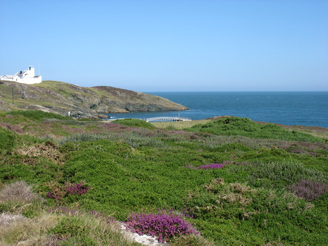
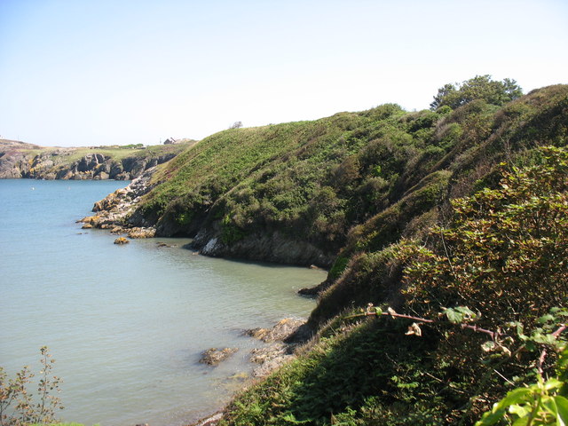
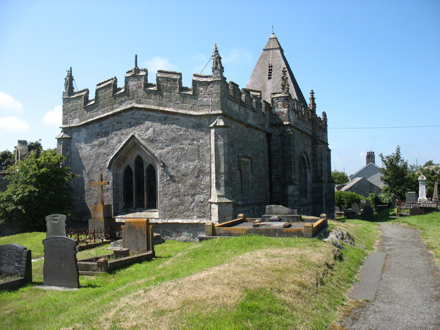
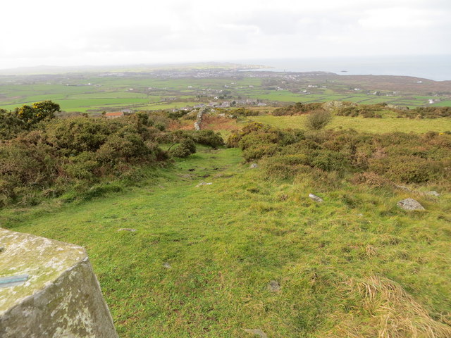
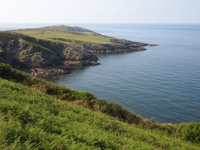
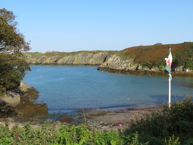
Porth Eilian is a picturesque bay located on the eastern coast of Anglesey, a small island in northwest Wales. The bay is nestled between Point Lynas to the north and Llaneilian to the south. It is named after St. Eilian, a 6th-century Welsh saint who is said to have established a church in the area.
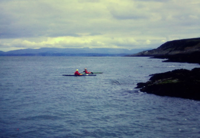
The bay is characterized by its stunning natural beauty, with a mix of sandy and rocky shores. The beach is relatively small and secluded, offering visitors a peaceful and quiet spot to relax and enjoy the scenery. The crystal-clear waters of Porth Eilian are ideal for swimming, kayaking, and paddleboarding, and there are several small caves and rock pools to explore at low tide.
The bay is also famous for its rich marine life, making it a popular spot for snorkeling and diving enthusiasts. Visitors can spot a wide variety of marine species, including seals, dolphins, and a diverse range of fish.
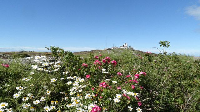
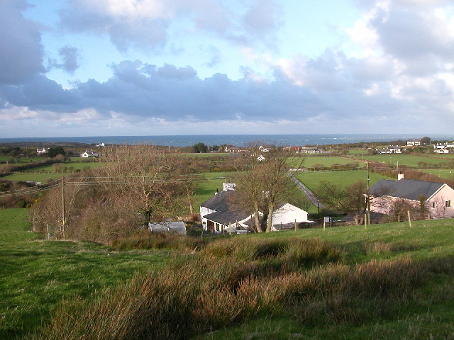
Porth Eilian is surrounded by scenic cliffs and rolling hills, providing breathtaking views of the North Wales coastline and the Irish Sea. The area is also home to a range of bird species, making it a haven for birdwatchers.
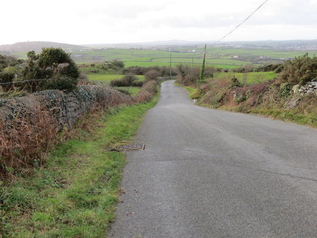
There are limited facilities at Porth Eilian, with only a small car park and a nearby café offering refreshments. However, its peaceful and unspoiled nature is part of its charm, attracting those seeking a tranquil and idyllic coastal experience.
Overall, Porth Eilian is a hidden gem on Anglesey's coastline, offering stunning natural beauty and a peaceful retreat for nature lovers and outdoor enthusiasts.
If you have any feedback on the listing, please let us know in the comments section below.
Porth Eilian Images
Images are sourced within 2km of 53.411694/-4.2927794 or Grid Reference SH4792. Thanks to Geograph Open Source API. All images are credited.
Porth Eilian is located at Grid Ref: SH4792 (Lat: 53.411694, Lng: -4.2927794)
Unitary Authority: Isle of Anglesey
Police Authority: North Wales
What 3 Words
///cricket.eradicate.atom. Near Amlwch, Isle of Anglesey
Nearby Locations
Related Wikis

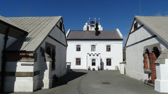
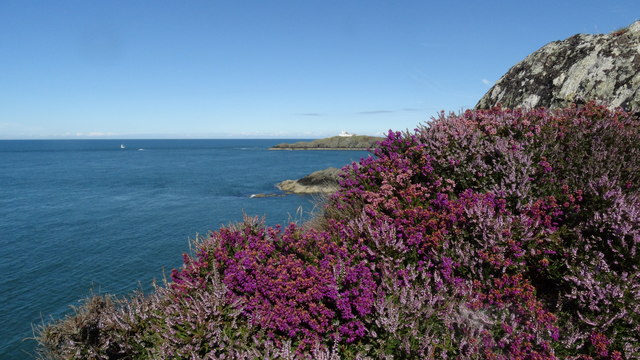
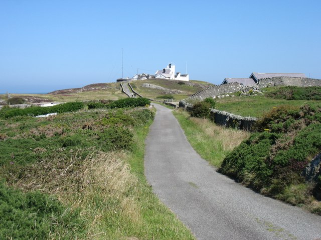
Point Lynas Lighthouse
Point Lynas Lighthouse (Welsh: Goleudy Trwyn y Balog) is located on a headland in Llaneilian Community, on the north-east corner of Anglesey in North Wales...
Llaneilian
Llaneilian (; Welsh: [ɬanˈeːlɪan]) is a village and community in Anglesey, Wales. It is located in the north east of the island, 2.2 miles (3.5 km) east...

Pengorffwysfa
Pengorffwysfa is a village in Anglesey, in north-west Wales. It is one of several dispersed settlements in the central area of Llaneilian Community, north...

Amlwch Lighthouse
The Amlwch Lighthouse (Grid reference: SH 452937) is a lighthouse tower situated on the outer pier of Amlwch, at the northeast tip of Anglesey, Wales....
Nearby Amenities
Located within 500m of 53.411694,-4.2927794Have you been to Porth Eilian?
Leave your review of Porth Eilian below (or comments, questions and feedback).