Aber Cawell

Bay in Anglesey

Wales

Aber Cawell

Rusting anchor Amlwch port
Rusting anchor Amlwch port Credit: Richard Hoare

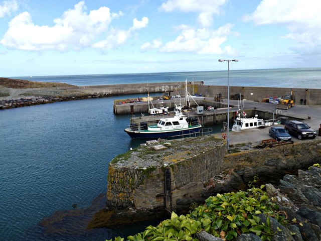
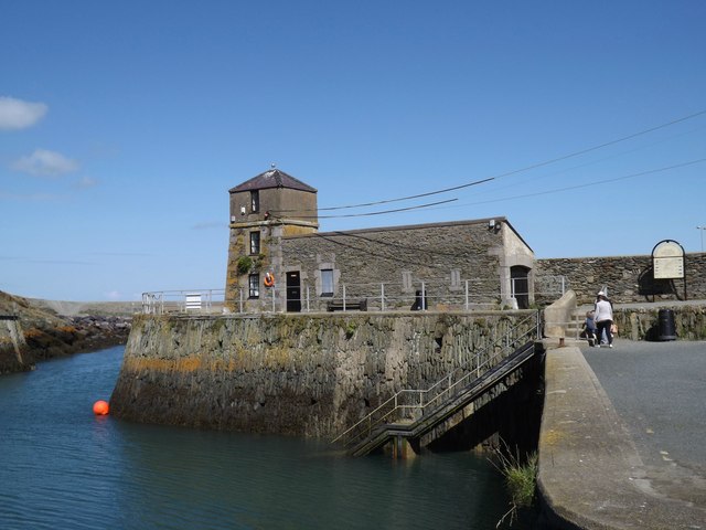
Aber Cawell is a picturesque bay located on the Isle of Anglesey in North Wales, United Kingdom. Situated on the western coast of the island, this small bay offers stunning views of the Irish Sea and is known for its natural beauty.

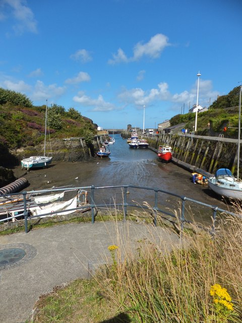
The bay is characterized by its golden sandy beach, which stretches for approximately 200 meters. The beach is popular among locals and tourists alike, offering a peaceful and tranquil atmosphere. The crystal-clear waters of Aber Cawell are perfect for swimming and paddling, and the bay is considered safe for water activities.

Surrounded by lush greenery and rolling hills, Aber Cawell provides a serene and idyllic setting for nature lovers. The bay is home to a diverse range of flora and fauna, making it a haven for wildlife enthusiasts. Visitors may spot various bird species, including seagulls and cormorants, as well as small marine creatures in the rock pools during low tide.

Aber Cawell is also a popular spot for coastal walks, with a well-maintained footpath that meanders along the coastline. The path offers breathtaking views of the bay and its surroundings, including the distant Snowdonia mountain range. It is a great place to enjoy a leisurely stroll and take in the fresh sea air.

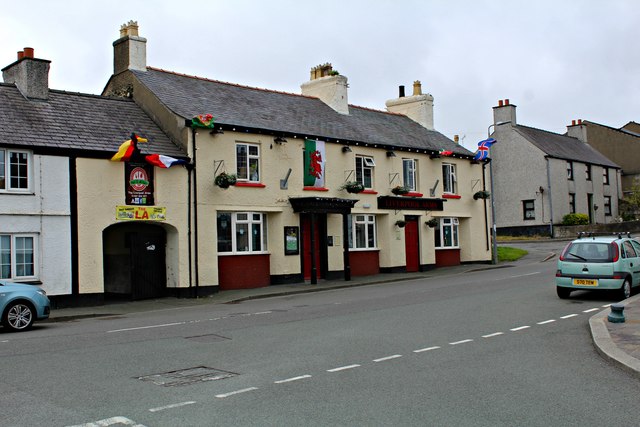
Facilities at Aber Cawell are limited, with no shops or cafes directly on the beach. However, there is a nearby village with amenities, including parking facilities and public toilets. Overall, Aber Cawell is a hidden gem on Anglesey, offering a peaceful retreat for those seeking natural beauty and tranquility.

If you have any feedback on the listing, please let us know in the comments section below.
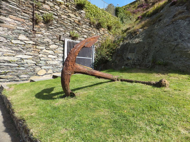
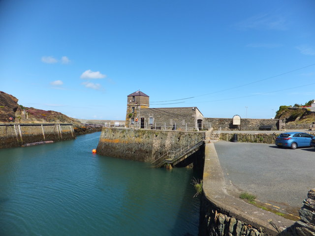
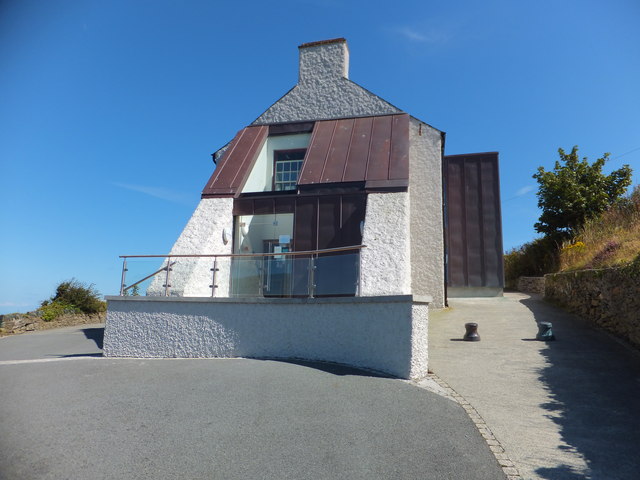
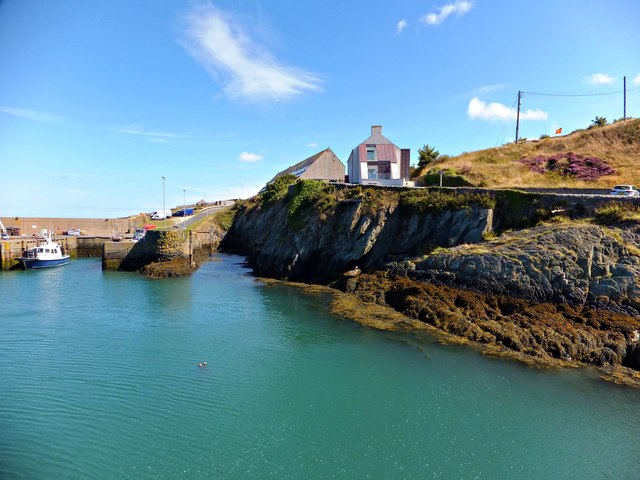
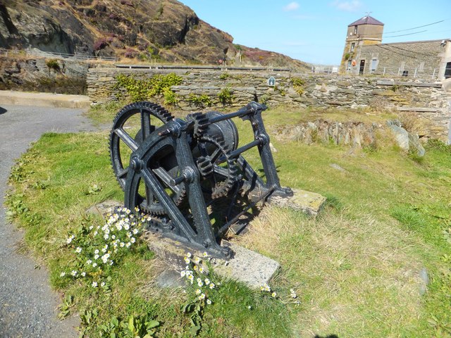
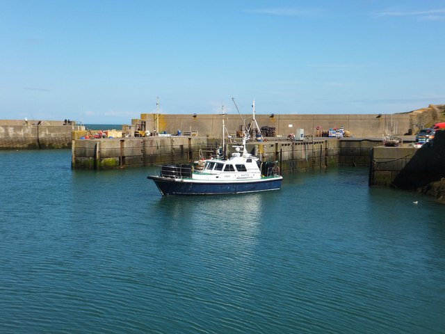
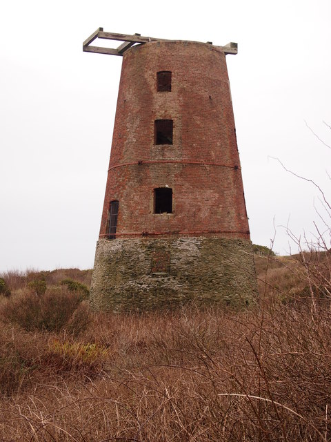
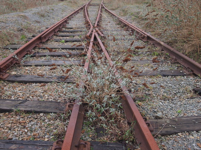
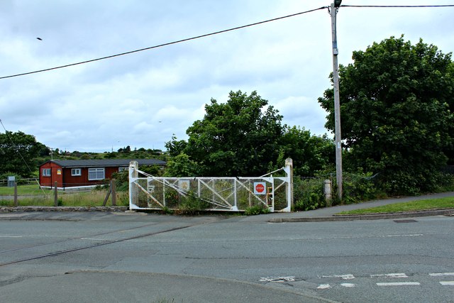
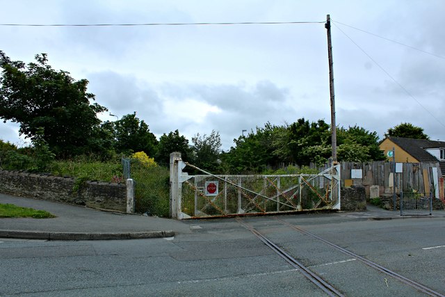
Aber Cawell Images

Images are sourced within 2km of 53.41654/-4.3179464 or Grid Reference SH4693. Thanks to Geograph Open Source API. All images are credited.

Rusting anchor Amlwch port
The Watch House at Amlwch Built around 1819 and extended in 1835 it was used by folk who were responsible for moving vessels in and out of the port. It also acted as a social meeting place for captains.
The Watch House at Amlwch
Built around 1819 and extended in 1835 it was used by folk who were responsible for moving vessels in and out of the port. It also acted as a social meeting place for captains.
The Sail Loft at Amlwch Port Now a maritime museum and cafe.
The Sail Loft at Amlwch Port
Now a maritime museum and cafe.
Dry Dock at Amlwch Formed by enlarging a natural creek known as 'Porth Cwch y Brenin' (the creek of the King's Boat). Thought to have been the berth of a revenue cutter stationed locally to combat smuggling.
Dry Dock at Amlwch
Formed by enlarging a natural creek known as 'Porth Cwch y Brenin' (the creek of the King's Boat). Thought to have been the berth of a revenue cutter stationed locally to combat smuggling.
The Dry Docks at Amlwch The dry dock at Amlwch was created by enlarging a natural creek. Otherwise known as 'Porth Cwch y Brenin' meaning the 'creek of the King's Boat'.
The Dry Docks at Amlwch
The dry dock at Amlwch was created by enlarging a natural creek. Otherwise known as 'Porth Cwch y Brenin' meaning the 'creek of the King's Boat'.
The Watch House situated in Amlwch The watch house with its small lighthouse was built in 1819, and then extended in 1835.
The Watch House situated in Amlwch
The watch house with its small lighthouse was built in 1819, and then extended in 1835.
Inner harbour Porth Amlwch
Green buoy at Porth Amlwch
Winding mechanism At Porth Amlwch.
Winding mechanism
At Porth Amlwch.
Lynas Shuttle departing Porth Amlwch Vessel named "LYNAS SHUTTLE", registered with IMO number N/A and MMSI 235028739 is a port tender. She is currently sailing under the flag of United Kingdom. She provides out of port services for Point Lynas anchorage, Liverpool Bay and for the numerous vessels participating in the construction of the Gwynt Y Mor Windfarm.
Lynas Shuttle departing Porth Amlwch
Vessel named "LYNAS SHUTTLE", registered with IMO number N/A and MMSI 235028739 is a port tender. She is currently sailing under the flag of United Kingdom. She provides out of port services for Point Lynas anchorage, Liverpool Bay and for the numerous vessels participating in the construction of the Gwynt Y Mor Windfarm.
Melin y Borth, Amlwch Completed in 1816, this was the tallest windmill on Anglesey.
Melin y Borth, Amlwch
Completed in 1816, this was the tallest windmill on Anglesey.
Disused Railway, Amlwch This line led to the Associated Octel/Great Lakes Chemicals bromine production plant.
Disused Railway, Amlwch
This line led to the Associated Octel/Great Lakes Chemicals bromine production plant.
Level crossing gates closed The redundant and disused line which led to the Associated Octel/Great Lakes Chemicals bromine production plant.
<a href="https://www.geograph.org.uk/photo/5024465">SH4493 : Level crossing gates closed (2)</a>
Level crossing gates closed
The redundant and disused line which led to the Associated Octel/Great Lakes Chemicals bromine production plant. SH4493 : Level crossing gates closed (2)
Level crossing gates closed (2) The redundant and disused line which led from the Associated Octel/Great Lakes Chemicals bromine production plant. 
<a href="https://www.geograph.org.uk/photo/5024460">SH4493 : Level crossing gates closed</a>
Level crossing gates closed (2)
The redundant and disused line which led from the Associated Octel/Great Lakes Chemicals bromine production plant. SH4493 : Level crossing gates closed
Disused and broken railway track This line led to the Associated Octel/Great Lakes Chemicals bromine production plant.
Disused and broken railway track
This line led to the Associated Octel/Great Lakes Chemicals bromine production plant.
Disused railway track at Amlwch This line led to the Associated Octel/Great Lakes Chemicals bromine production plant.
Disused railway track at Amlwch
This line led to the Associated Octel/Great Lakes Chemicals bromine production plant.
Liverpool Arms, Amlwch Port
The Adelphi and adjoining fish and chip shop, Amlwch Port
Show me another place!

Aber Cawell is located at Grid Ref: SH4693 (Lat: 53.41654, Lng: -4.3179464)

Unitary Authority: Isle of Anglesey

Police Authority: North Wales

What 3 Words

///grazed.carry.tasks. Near Amlwch, Isle of Anglesey

Related Wikis

Amlwch Lighthouse

The Amlwch Lighthouse (Grid reference: SH 452937) is a lighthouse tower situated on the outer pier of Amlwch, at the northeast tip of Anglesey, Wales....

Amlwch Port

Amlwch Port (Welsh: Porth Amlwch) is a port village in Anglesey, Wales. It is effectively an eastern suburb of the larger town of Amlwch.Between the 1991...
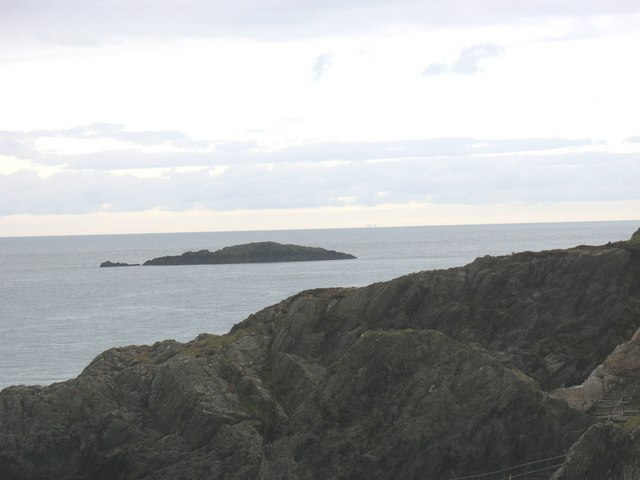
East Mouse

East Mouse (Welsh: Ynys Amlwch) is an islet found off the north coast of Anglesey, Wales. It is found just a few hundred metres away from the town of Amlwch...

Pengorffwysfa

Pengorffwysfa is a village in Anglesey, in north-west Wales. It is one of several dispersed settlements in the central area of Llaneilian Community, north...

Nearby Amenities

Located within 500m of 53.41654,-4.3179464
Barrier: kissing_gate
Lat/Long: 53.4149902/-4.317856
The data included in this document is from www.openstreetmap.org. The data is made available under ODbL.

Have you been to Aber Cawell?

Leave your review of Aber Cawell below (or comments, questions and feedback).