Bae Bryn Hyfryd

Bay in Anglesey

Wales

Bae Bryn Hyfryd

Minor road near Tregaian
Minor road near Tregaian Credit: Steven Brown

The requested URL returned error: 429 Too Many Requests

If you have any feedback on the listing, please let us know in the comments section below.

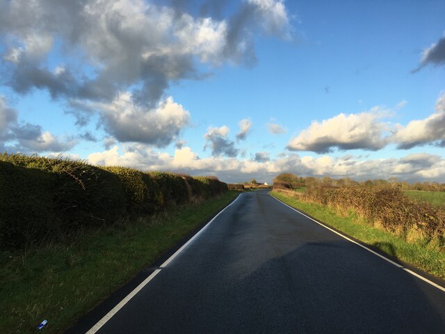
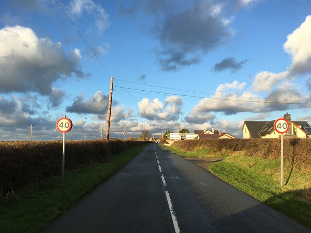
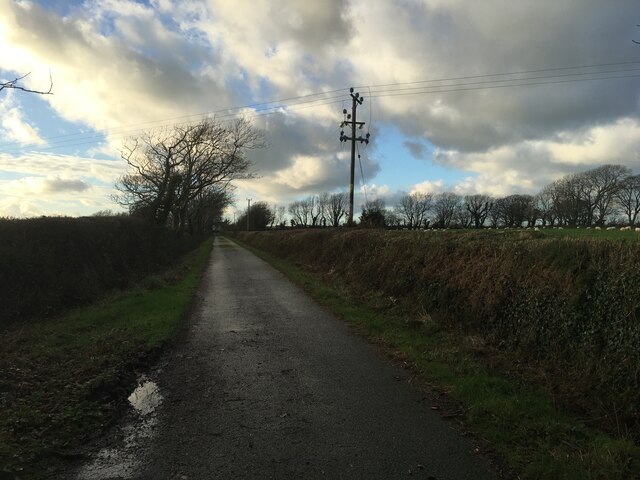
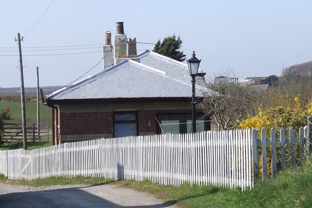
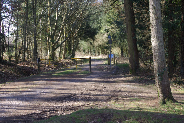
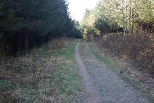
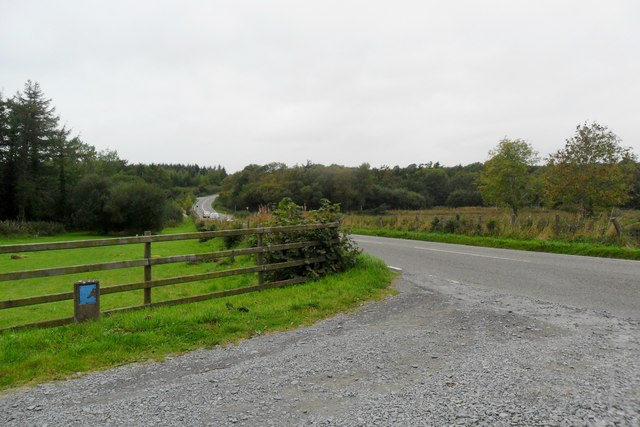
Bae Bryn Hyfryd Images

Images are sourced within 2km of 53.272341/-4.3370713 or Grid Reference SH4477. Thanks to Geograph Open Source API. All images are credited.

Minor road near Tregaian
Road towards Llangwyllog
Private road to Frogwy Fawr
Benchmark at Garreg Wen, Rhosmeirch For more details see: <span class="nowrap"><a title="https://www.bench-marks.org.uk/bm176452" rel="nofollow ugc noopener" href="https://www.bench-marks.org.uk/bm176452">Link</a><img style="margin-left:2px;" alt="External link" title="External link - shift click to open in new window" src="https://s1.geograph.org.uk/img/external.png" width="10" height="10"/></span>
Benchmark at Garreg Wen, Rhosmeirch
For more details see: LinkExternal link
Llangwyllog Station The former station building at Llangwyllog on the disused branch line from Gaerwen to Amlwch
Llangwyllog Station
The former station building at Llangwyllog on the disused branch line from Gaerwen to Amlwch
Cefni Reservoir Bridge Bridge carrying the disused railway line to Amlwch over the Cefni reservoir near Llangefni.
Cefni Reservoir Bridge
Bridge carrying the disused railway line to Amlwch over the Cefni reservoir near Llangefni.
Railway Track near Llangwyllog Looking North towards Llangwyllog on the disused branch line from Gaerwen to Amlwch.
Railway Track near Llangwyllog
Looking North towards Llangwyllog on the disused branch line from Gaerwen to Amlwch.
Afon Cefni The disused railway line to Amlwch is on one side of the river, while the suspended walkway/cycle path is on the other.
Afon Cefni
The disused railway line to Amlwch is on one side of the river, while the suspended walkway/cycle path is on the other.
Forest track by Cefni Reservoir The area around Cefni Reservoir is well served by tracks open to the public and, it seems, popular with dog walkers.
Forest track by Cefni Reservoir
The area around Cefni Reservoir is well served by tracks open to the public and, it seems, popular with dog walkers.
Track north of Cefni Reservoir Woodland track leading off the B5111.
Track north of Cefni Reservoir
Woodland track leading off the B5111.
Farmhouse, Rhosmeirch
Car park entrance near Rhosmeirch
Boardwalk, The Dingle This is the boardwalk along The Dingle nature reserve. At this point it has just passed under the disused branch railway line to Amlwch, though as can be seen the track is still in place. the bridge also takes the railway over the Afon Cefni.
Boardwalk, The Dingle
This is the boardwalk along The Dingle nature reserve. At this point it has just passed under the disused branch railway line to Amlwch, though as can be seen the track is still in place. the bridge also takes the railway over the Afon Cefni.
Oriel Ynys Mon, Llangefni
Old railway bridge in the Dingle The tracks are still in place in parts of the old Gaerwen to Amlwch branch line. A boardwalk along the bank of the Afon Cefni passes under the railway.
Old railway bridge in the Dingle
The tracks are still in place in parts of the old Gaerwen to Amlwch branch line. A boardwalk along the bank of the Afon Cefni passes under the railway.
Boardwalk on the Lon Las Cefni At this point, the Lon Las Cefni cycle route (part of National Cycle Network route 566) runs on a spectacular length of boardwalk cantilevered over the river.
Boardwalk on the Lon Las Cefni
At this point, the Lon Las Cefni cycle route (part of National Cycle Network route 566) runs on a spectacular length of boardwalk cantilevered over the river.
Boardwalk on the Lon Las Cefni At this point, the Lon Las Cefni cycle route (part of National Cycle Network route 566)  runs on a spectacular length of boardwalk cantilevered over the river.
Boardwalk on the Lon Las Cefni
At this point, the Lon Las Cefni cycle route (part of National Cycle Network route 566) runs on a spectacular length of boardwalk cantilevered over the river.
Show me another place!

Bae Bryn Hyfryd is located at Grid Ref: SH4477 (Lat: 53.272341, Lng: -4.3370713)

Unitary Authority: Isle of Anglesey

Police Authority: North Wales

What 3 Words

///regretted.replenish.makes. Near Llangefni, Isle of Anglesey

Related Wikis

Llyn Cefni

Llyn Cefni is a small reservoir in the centre of Anglesey, Wales which is managed by Welsh Water and Hamdden Ltd, while the fishery is managed by the Cefni...

Llangwyllog

Llangwyllog () is a small village and ancient parish in the centre of Anglesey, Wales. It is found three miles to the north of the island's capital, Llangefni...

Roman conquest of Anglesey

The Roman conquest of Anglesey refers to two separate invasions of Anglesey in North West Wales that occurred during the early decades of the Roman conquest...

Anglesey

The Isle of Anglesey (; Welsh: Ynys Môn [ˈənɨs ˈmoːn]) is a county off the north-west coast of Wales. It is named after the island of Anglesey, which makes...

Have you been to Bae Bryn Hyfryd?

Leave your review of Bae Bryn Hyfryd below (or comments, questions and feedback).