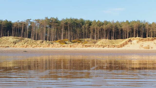
Porth Tŵr-bach
Bay in Anglesey
Wales
Porth Tŵr-bach

The requested URL returned error: 429 Too Many Requests
If you have any feedback on the listing, please let us know in the comments section below.
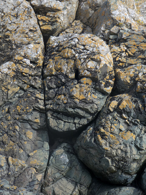
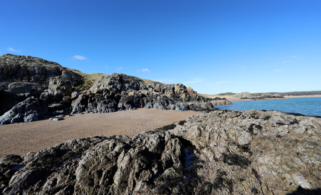
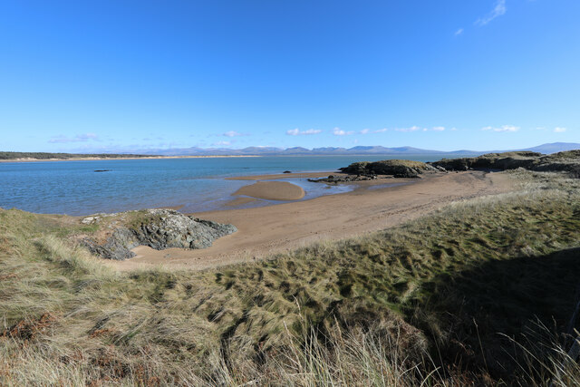
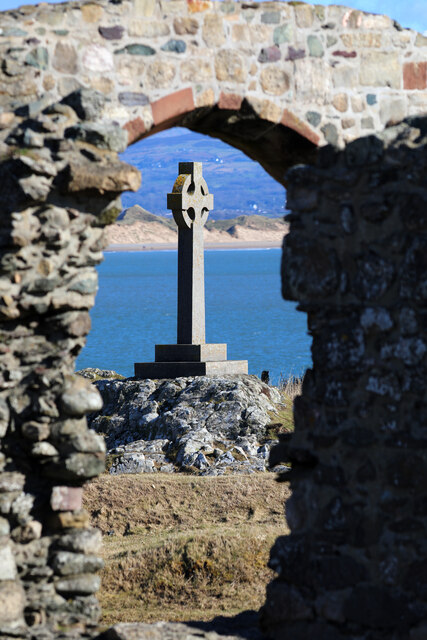
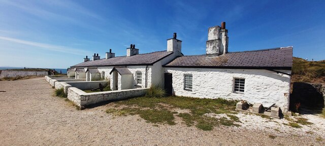
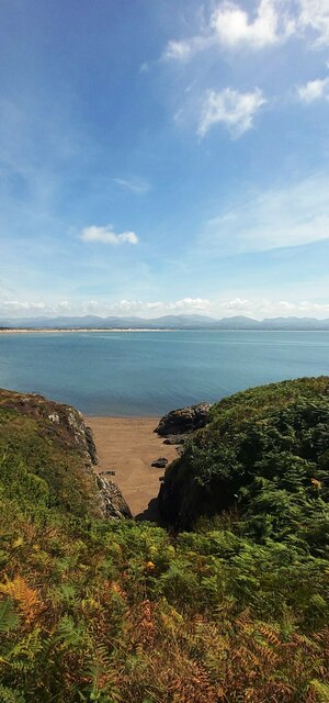
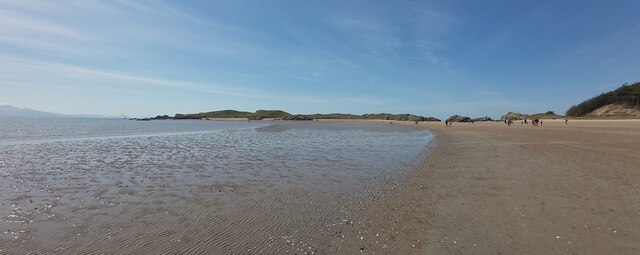
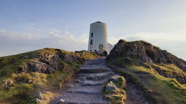
Porth Tŵr-bach Images
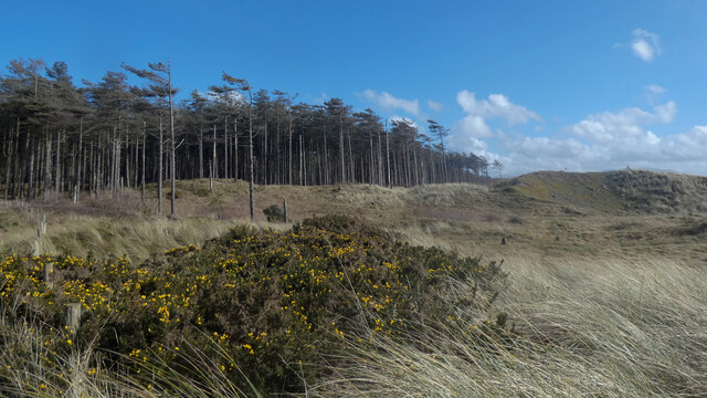
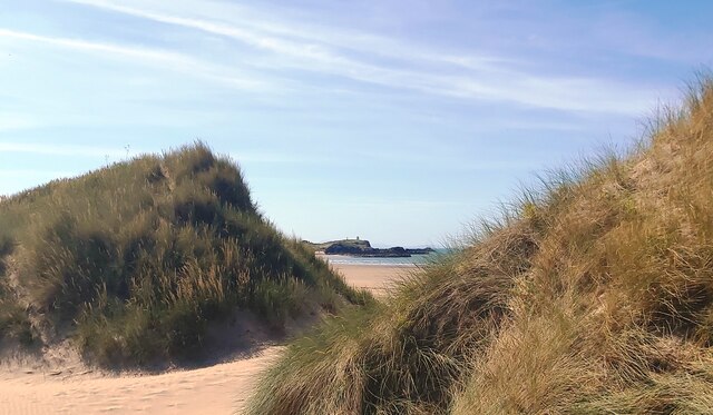
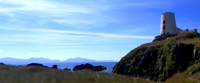
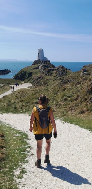
Images are sourced within 2km of 53.133764/-4.414487 or Grid Reference SH3862. Thanks to Geograph Open Source API. All images are credited.


Porth Tŵr-bach is located at Grid Ref: SH3862 (Lat: 53.133764, Lng: -4.414487)
Unitary Authority: Isle of Anglesey
Police Authority: North Wales
What 3 Words
///rail.likewise.thatched. Near Caernarfon, Gwynedd
Nearby Locations
Related Wikis
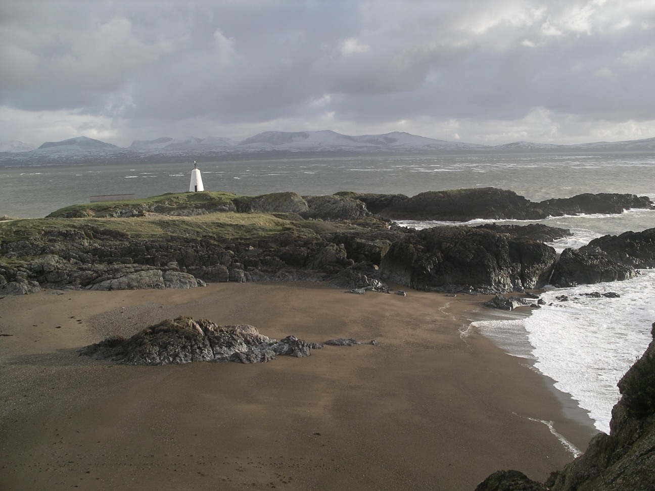
Ynys Llanddwyn
Ynys Llanddwyn (also known as Llanddwyn Island) is a small tidal island off the west coast of Anglesey (Welsh: Ynys Môn), northwest Wales. The nearest...

Newborough Forest
Newborough Forest (Welsh: Coedwig Niwbwrch) is a forest to the west of Newborough, Anglesey, North Wales. It is one of the most important red squirrel...
Newborough Warren
Newborough Warren (Welsh: Tywyn Niwbwrch) near the village of Newborough (Niwbwrch) in Anglesey, Wales, is a large dune and beach system of 2,269 hectares...
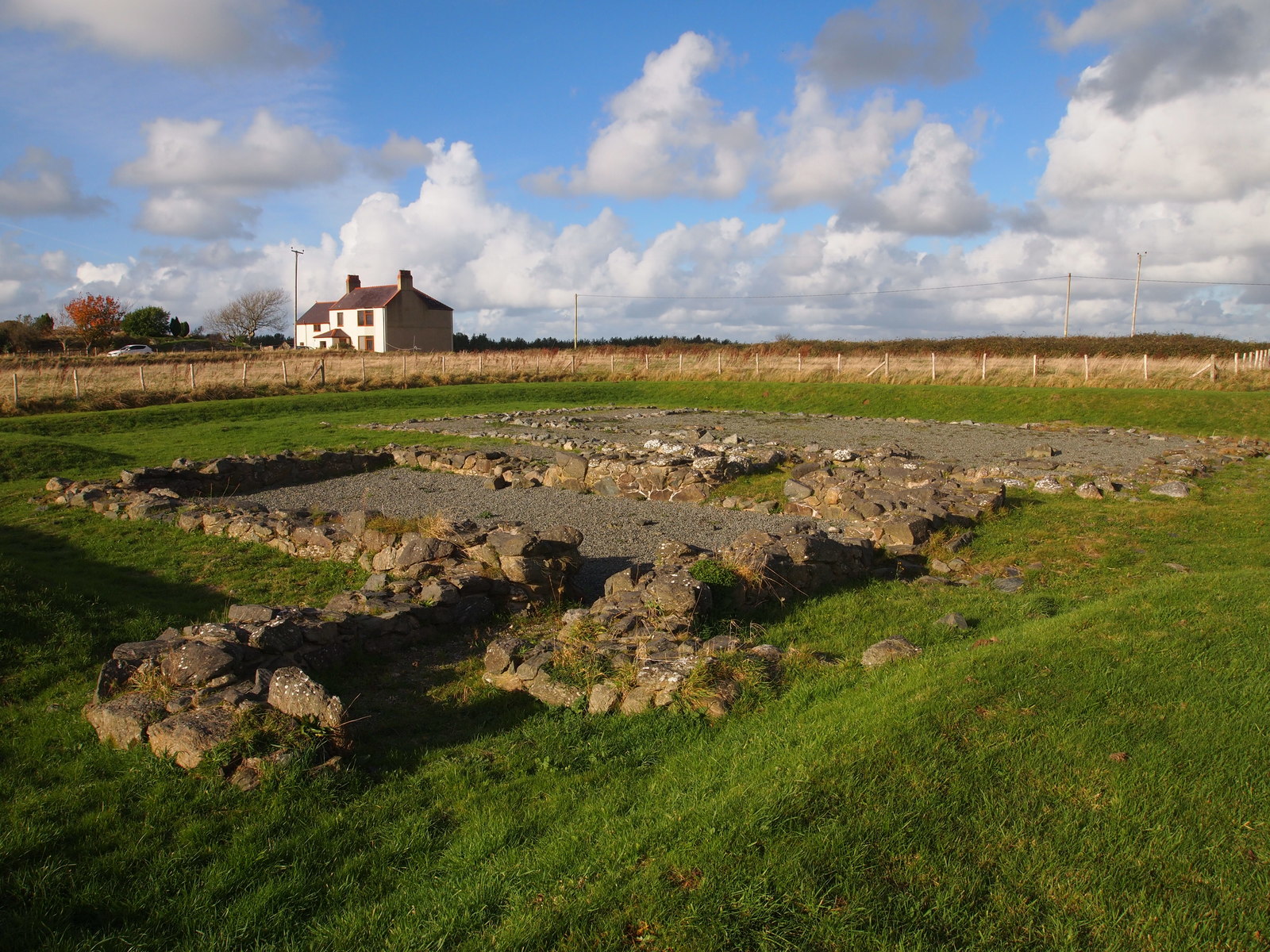
Llys Rhosyr
Llys Rhosyr, also known as "Cae Llys", is an archaeological site near Newborough in Anglesey; the ruins of a pre-Edwardian commotal court. == History... ==
Nearby Amenities
Located within 500m of 53.133764,-4.414487Have you been to Porth Tŵr-bach?
Leave your review of Porth Tŵr-bach below (or comments, questions and feedback).