Porth y Ddinas
Bay in Anglesey
Wales
Porth y Ddinas
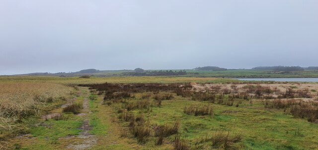
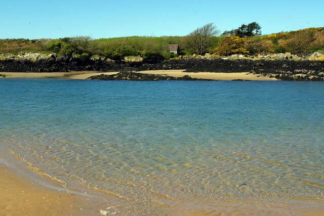
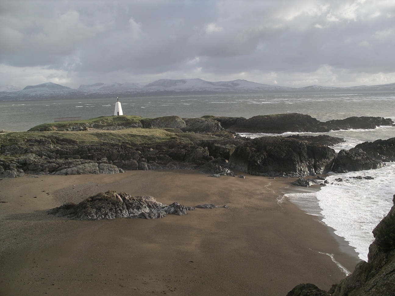
Porth y Ddinas, also known as Dinas Bay, is a picturesque coastal area located on the Isle of Anglesey in Wales, United Kingdom. It is situated on the eastern side of the island, facing the Irish Sea. The bay is known for its stunning natural beauty and is a popular destination for tourists and locals alike.
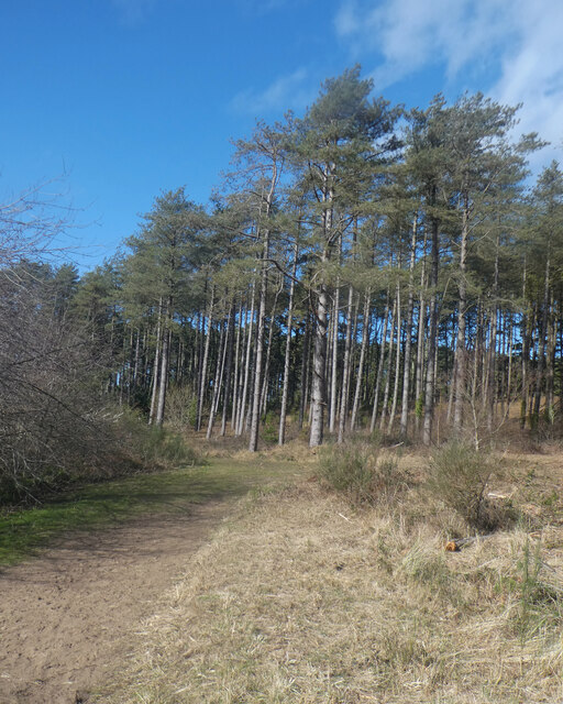
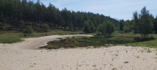
Porth y Ddinas is characterized by its rugged cliffs, sandy beaches, and crystal-clear turquoise waters. The bay is surrounded by unspoiled countryside, providing visitors with breathtaking views and a peaceful atmosphere. The area is also home to a variety of wildlife, including seals, seabirds, and even dolphins, making it a haven for nature enthusiasts.
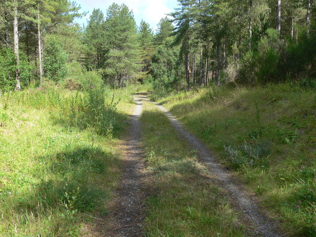
The bay offers a range of activities for visitors to enjoy. The sandy beach is perfect for sunbathing, picnicking, and building sandcastles, while the calm waters are ideal for swimming and paddleboarding. There are also opportunities for fishing, rock climbing, and coastal walks along the cliffs, where visitors can take in the panoramic views of the bay and beyond.
Porth y Ddinas is also steeped in history. The bay is named after the nearby Dinas Dinlle hillfort, a prehistoric settlement dating back to the Iron Age. The remains of this ancient hillfort can still be seen today, adding an element of historical intrigue to the area.
Overall, Porth y Ddinas is a captivating coastal destination that offers a combination of natural beauty, outdoor activities, and historical significance. It is a must-visit location for anyone exploring the Isle of Anglesey.
If you have any feedback on the listing, please let us know in the comments section below.
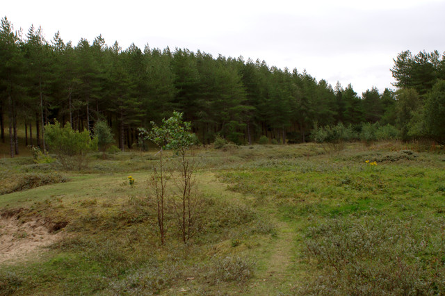
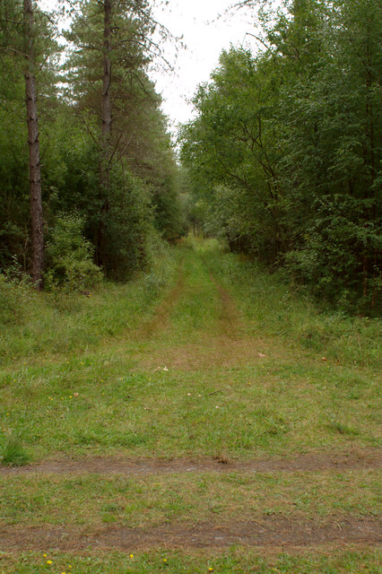
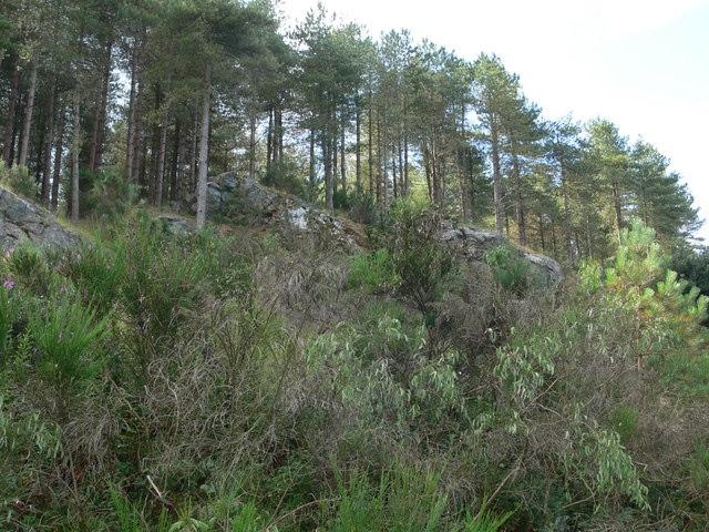
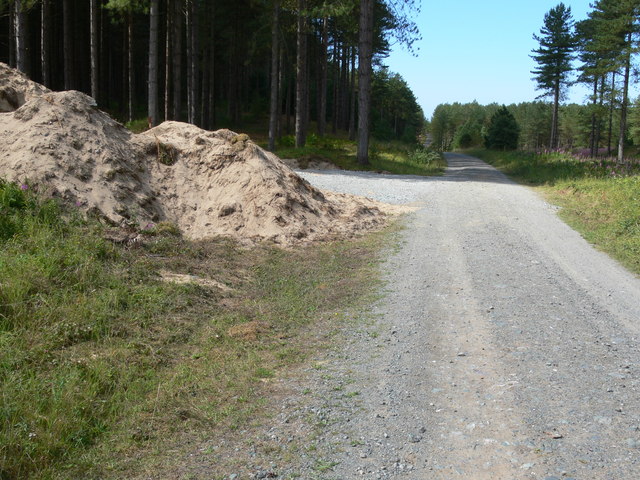
Porth y Ddinas Images
Images are sourced within 2km of 53.161718/-4.4250774 or Grid Reference SH3765. Thanks to Geograph Open Source API. All images are credited.


Porth y Ddinas is located at Grid Ref: SH3765 (Lat: 53.161718, Lng: -4.4250774)
Unitary Authority: Isle of Anglesey
Police Authority: North Wales
What 3 Words
///copying.disco.reclined. Near Rhosneigr, Isle of Anglesey
Nearby Locations
Related Wikis

Bodorgan
Bodorgan is a village and community on the Isle of Anglesey, Wales, United Kingdom. According to the 2001 Census, there were 1,503 residents in the now...

RAF Bodorgan
Royal Air Force Bodorgan, or more simply RAF Bodorgan, is a former Royal Air Force satellite airfield located near to Bodorgan Hall on the Isle of Anglesey...
Ynys Llanddwyn
Ynys Llanddwyn (also known as Llanddwyn Island) is a small tidal island off the west coast of Anglesey (Welsh: Ynys Môn), northwest Wales. The nearest...
Afon Cefni
Afon Cefni is one of the major rivers on the island of Anglesey, Wales. It is 16.9 kilometres (11 mi) long. Its source is near to the village of Capel...
Related Videos


Lovely view at Newborough beach #uk #travel #ukvideos#northwales
beach #uk #travel #travellingvideos #wales#waves @ynytravels.

Newborough Beach 2023
Newborough Beach Anglesey.
Nearby Amenities
Located within 500m of 53.161718,-4.4250774Have you been to Porth y Ddinas?
Leave your review of Porth y Ddinas below (or comments, questions and feedback).