Porth Wnal
Bay in Anglesey
Wales
Porth Wnal

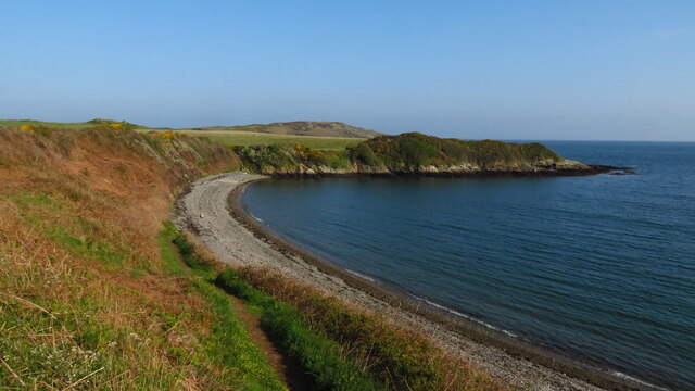
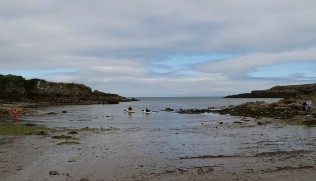
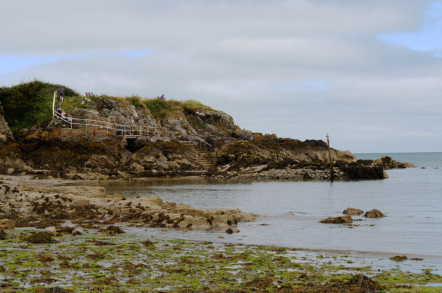
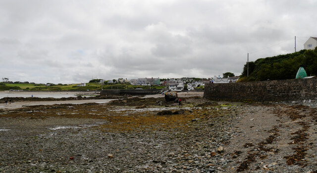
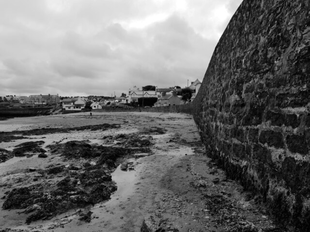
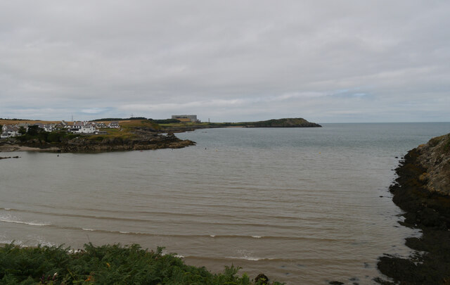
Porth Wnal, also known as Church Bay, is a picturesque bay located on the northwest coast of Anglesey, an island off the coast of North Wales. This bay is renowned for its natural beauty, making it a popular destination for locals and tourists alike.
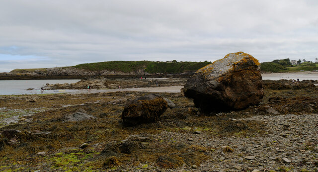
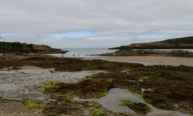
The bay is characterized by its sandy beach, which is surrounded by towering cliffs and rugged headlands. The clear blue waters of Porth Wnal are perfect for swimming and snorkeling, and the beach is also a great spot for sunbathing and picnicking. At low tide, rock pools are exposed, providing an opportunity for visitors to explore and discover a variety of marine life.
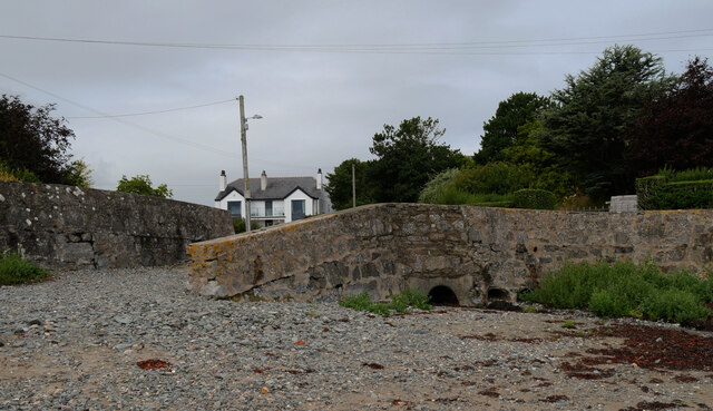
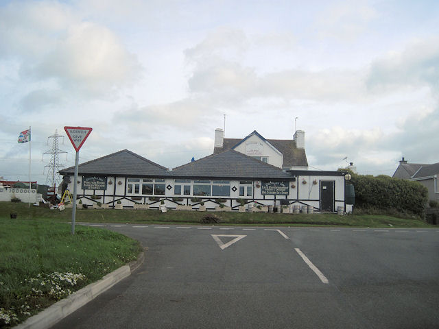
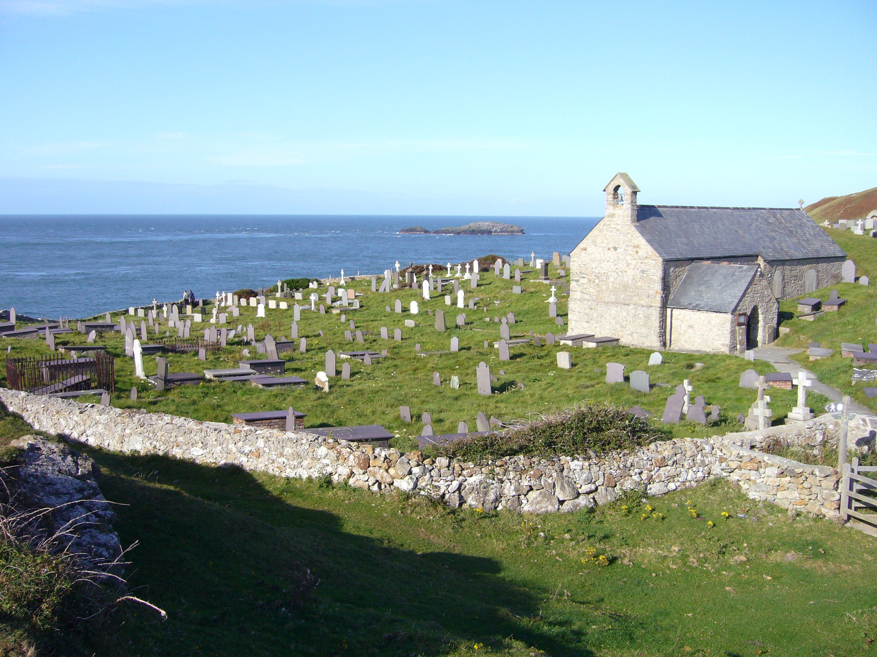
Porth Wnal is also home to a small, charming village that bears the same name. The village is dotted with traditional stone cottages and offers a range of amenities, including a café, a pub, and a gift shop. The nearby St. Cwyfan's Church, located on an island accessed by a causeway, adds to the charm of the area.
For nature enthusiasts, Porth Wnal is a haven for birdwatching, with a variety of seabirds and waders frequenting the bay. The surrounding cliffs provide nesting sites for colonies of seabirds, including razorbills and puffins, making it a popular spot for birdwatchers.
Overall, Porth Wnal is a delightful bay that offers a combination of natural beauty, recreational activities, and a quaint village, making it a must-visit destination for anyone exploring Anglesey.
If you have any feedback on the listing, please let us know in the comments section below.
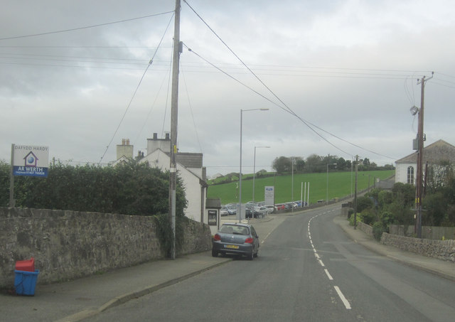
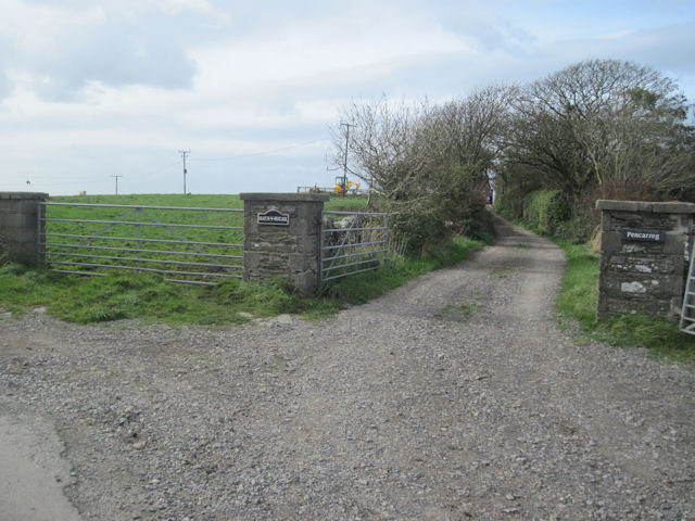
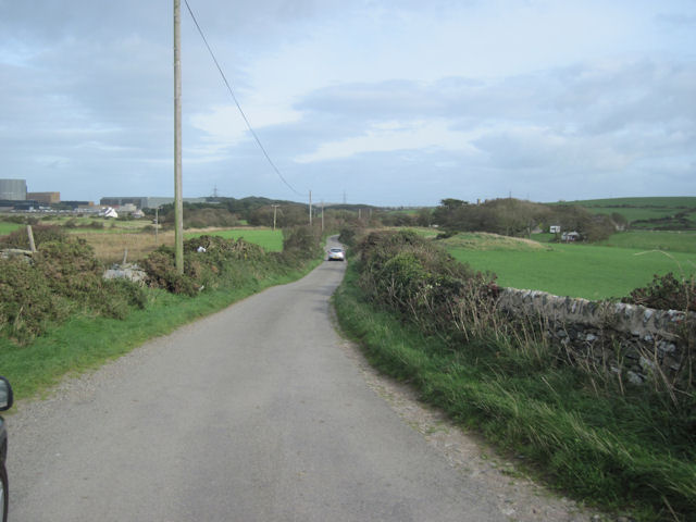
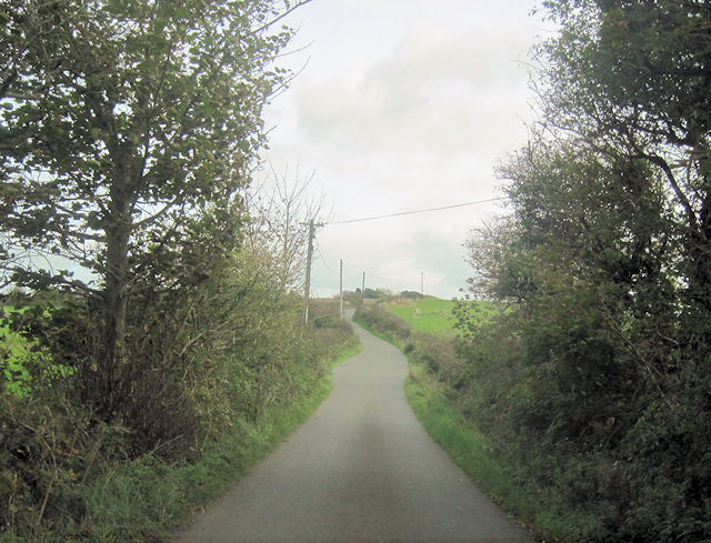
Porth Wnal Images
Images are sourced within 2km of 53.419353/-4.4816372 or Grid Reference SH3594. Thanks to Geograph Open Source API. All images are credited.
Porth Wnal is located at Grid Ref: SH3594 (Lat: 53.419353, Lng: -4.4816372)
Unitary Authority: Isle of Anglesey
Police Authority: North Wales
What 3 Words
///shuttered.majority.fighters. Near Cemaes Bay, Isle of Anglesey
Nearby Locations
Related Wikis

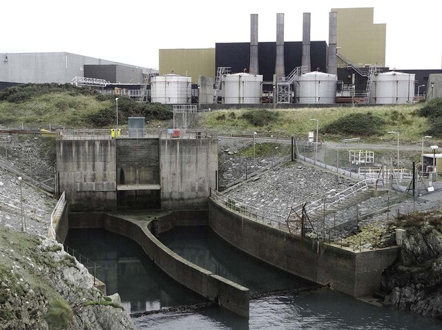
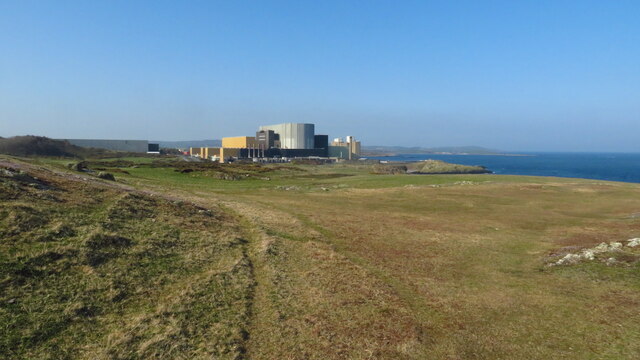
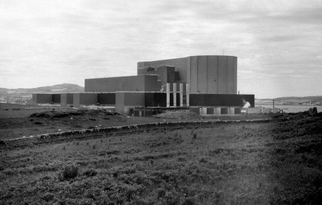
Wylfa nuclear power station
Wylfa nuclear power station (Welsh: Atomfa'r Wylfa) is a Magnox nuclear power station undergoing decommissioning. Wylfa is situated west of Cemaes Bay...

Wylfa Newydd nuclear power station
Wylfa Newydd nuclear power station, also known as Wylfa B, was a proposed project to construct a 2,700 MWe nuclear power station with two ABWR reactors...
Cestyll Garden
Cestyll Garden is a secluded garden with picturesque sea views near Cemaes on the north west coast of the island of Anglesey in North Wales, United Kingdom...
Cafnan
Cafnan is a hamlet in the community of Mechell, Anglesey, Wales, which is 144.3 miles (232.2 km) from Cardiff and 225.8 miles (363.4 km) from London. Cafnan...
Tregele
Tregele is a small, village located Mechell Community, in north Anglesey, Wales. Located about a mile south-west of the larger coastal village of Cemaes...

Cemaes
Cemaes () is a village on the north coast of Anglesey in Wales, sited on Cemaes Bay, an Area of Outstanding Natural Beauty which is partly owned by the...
Cemaes Bay F.C.
Cemaes Bay Football Club (Welsh: Clwb Pêl-droed Bae Cemaes) is a football team playing in the North Wales Coast West Football League Division One (part...
Llanbadrig
Llanbadrig is a village and community (and former electoral ward) in Anglesey, Wales. The parish includes the township of Clygyrog, Tregynrig and the port...
Nearby Amenities
Located within 500m of 53.419353,-4.4816372Have you been to Porth Wnal?
Leave your review of Porth Wnal below (or comments, questions and feedback).