Porth Terfyn
Bay in Anglesey
Wales
Porth Terfyn
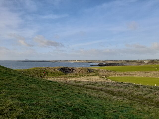
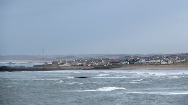
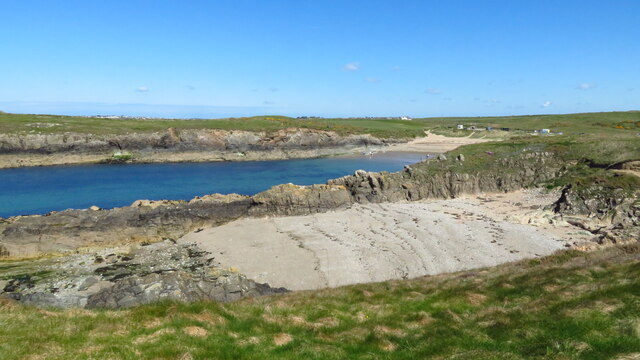
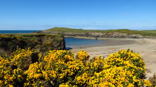
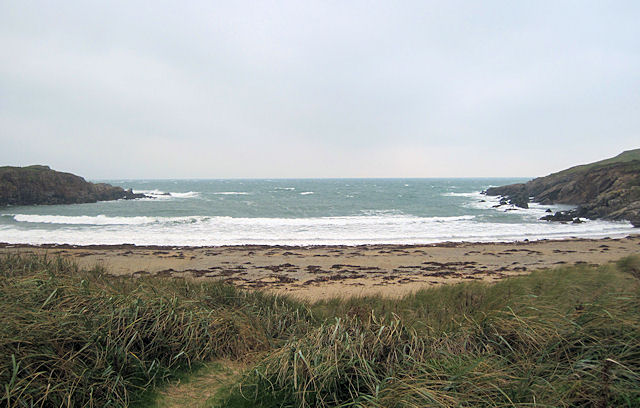
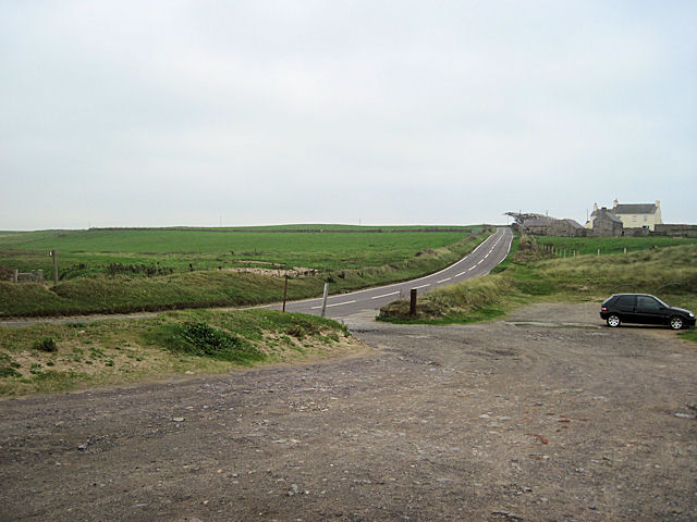
Porth Terfyn, also known as Terfyn Bay, is a picturesque coastal bay located on the northwestern coastline of Anglesey, an island in Wales, United Kingdom. Situated between the popular towns of Cemaes Bay and Bull Bay, Porth Terfyn offers visitors a serene and tranquil environment, surrounded by stunning natural beauty.
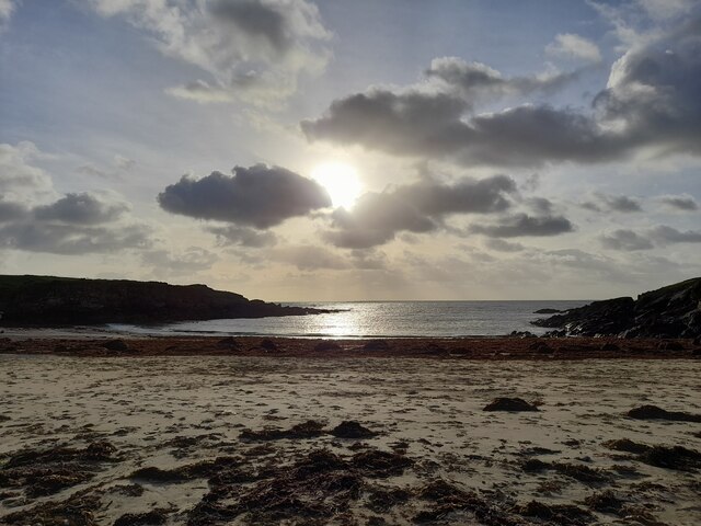
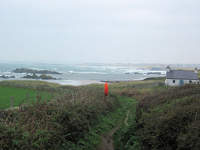
The bay is characterized by its golden sandy beach, which stretches for approximately 300 meters and is backed by low cliffs. The crystal-clear waters of the bay are perfect for swimming and paddling, and the beach is a popular spot for sunbathing and picnicking during the summer months.
Porth Terfyn is also renowned for its rich marine life, making it a popular destination for snorkeling and diving enthusiasts. The bay is home to a wide variety of marine species, including seals, dolphins, and a diverse range of fish and crustaceans.
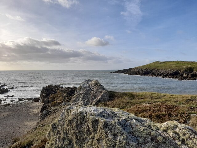
The bay is surrounded by breathtaking coastal scenery, with rugged cliffs and rolling hills providing a stunning backdrop. Visitors can enjoy leisurely walks along the coastal path, taking in the panoramic views of the Irish Sea and the surrounding countryside. There are also several nearby attractions, such as the picturesque village of Cemaes Bay, which offers a range of amenities including shops, cafes, and pubs.
Overall, Porth Terfyn is a hidden gem on the Anglesey coastline, offering visitors a peaceful and idyllic coastal experience with its beautiful beach, diverse marine life, and stunning natural surroundings.
If you have any feedback on the listing, please let us know in the comments section below.
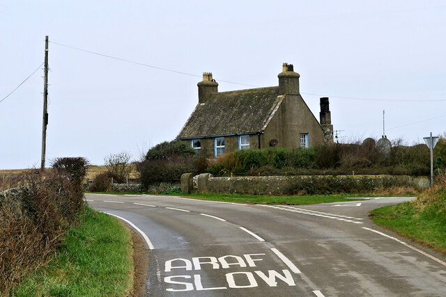
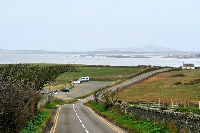
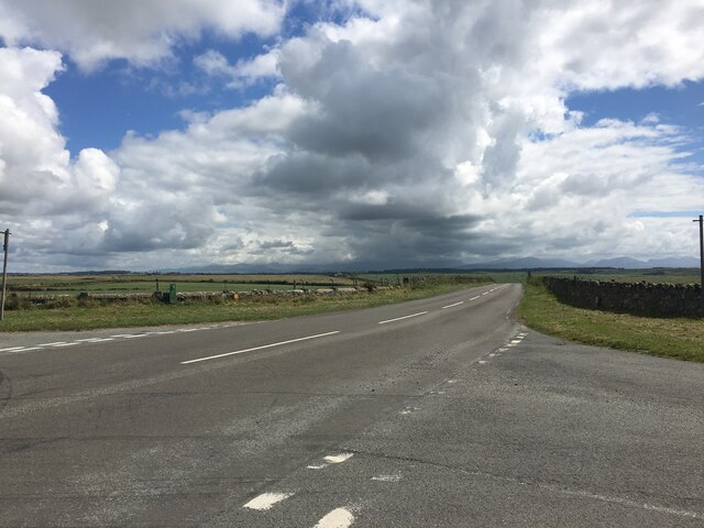
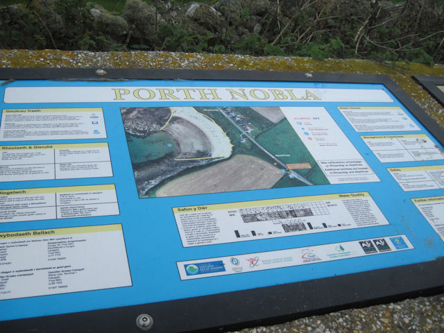
Porth Terfyn Images
Images are sourced within 2km of 53.204451/-4.5003896 or Grid Reference SH3370. Thanks to Geograph Open Source API. All images are credited.


Porth Terfyn is located at Grid Ref: SH3370 (Lat: 53.204451, Lng: -4.5003896)
Unitary Authority: Isle of Anglesey
Police Authority: North Wales
What 3 Words
///lectured.dogs.builders. Near Rhosneigr, Isle of Anglesey
Nearby Locations
Related Wikis

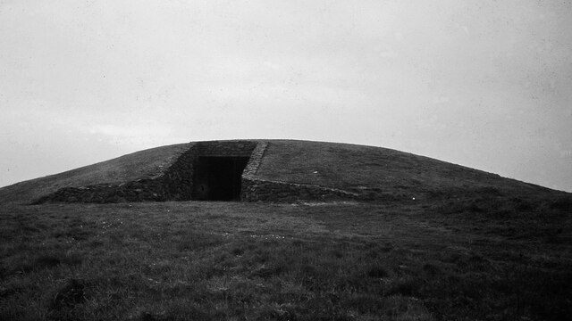
Barclodiad y Gawres
Barclodiad y Gawres (Welsh for 'The Giantess's Apronful'; Welsh pronunciation: [barkˌlɔdjad ə ˈgau̯rɛs]) is a Neolithic burial chamber between Rhosneigr...

Trecastell
Trecastell is a farm and historical site in the community of Aberffraw, Anglesey, Wales. == History == Llywelyn the Great, Prince of the Kingdom of Gwynedd...
Llangwyfan, Anglesey
Llangwyfan named after St. Cwyfan is a hamlet in the community of Aberffraw, Anglesey, Wales, which is 130.8 miles (210.6 km) from Cardiff and 218 miles...
Anglesey Circuit
The Anglesey Circuit (Welsh: Trac Môn) is a motor racing circuit located in Ty Croes, Anglesey, Wales. It plays host to a variety of motorsport events...
Nearby Amenities
Located within 500m of 53.204451,-4.5003896Have you been to Porth Terfyn?
Leave your review of Porth Terfyn below (or comments, questions and feedback).