Porth Trefadog

Bay in Anglesey

Wales

Porth Trefadog

Postbox at Llanfwrog
Postbox at Llanfwrog Credit: Mat Fascione

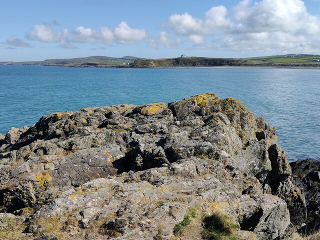
Porth Trefadog, also known as Trefadog Bay, is a picturesque bay located on the island of Anglesey in North Wales. It is situated on the western coast of the island, near the village of Aberffraw. The bay is known for its stunning natural beauty and tranquility.

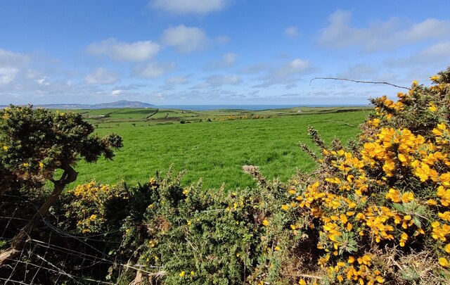
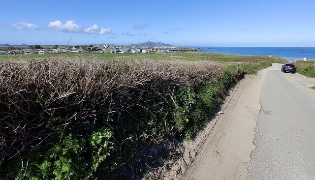
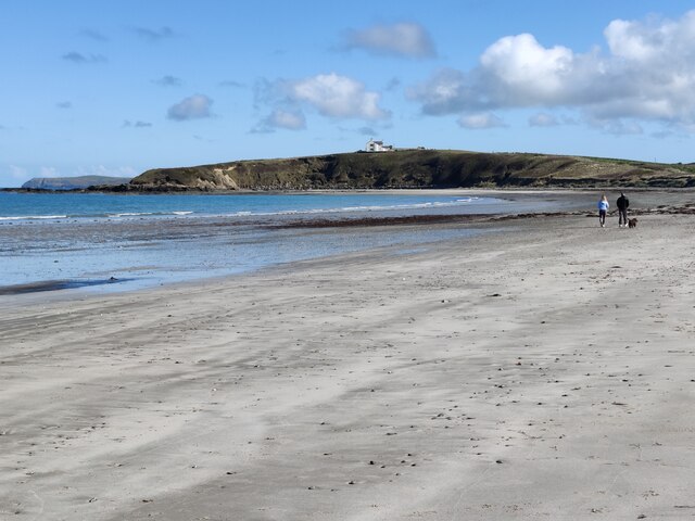
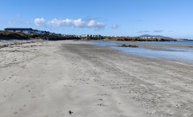
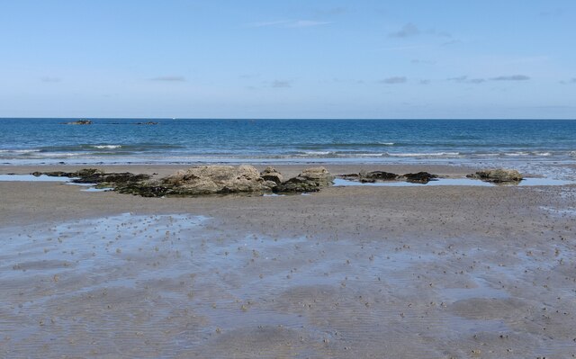
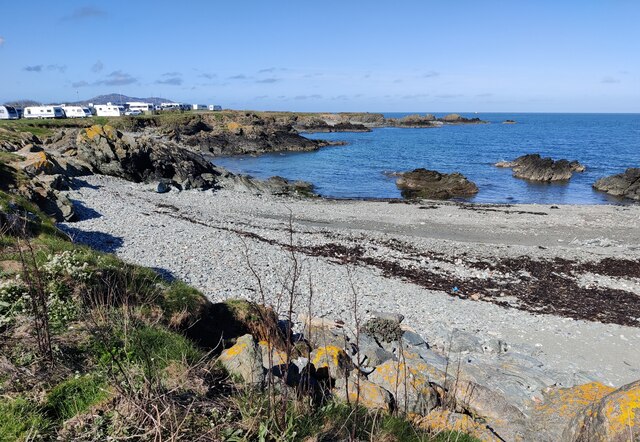
Porth Trefadog is characterized by its golden sandy beach, which stretches for approximately 1 kilometer. The beach is backed by sand dunes and offers panoramic views of the Irish Sea. The clear blue waters are ideal for swimming, and the bay is a popular spot for water sports such as kayaking and sailing.

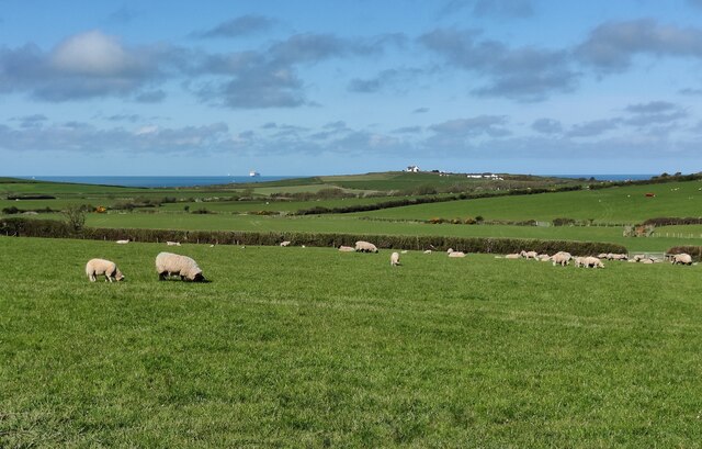
The bay is also home to a diverse range of wildlife. Visitors may spot various species of birds, including oystercatchers and curlews, as well as seals and dolphins swimming in the sea. The surrounding landscape is rich in flora and fauna, with wildflowers and grasses covering the sand dunes.

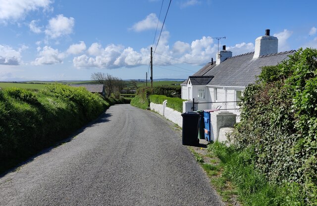
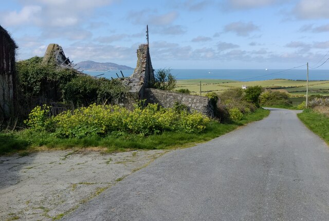
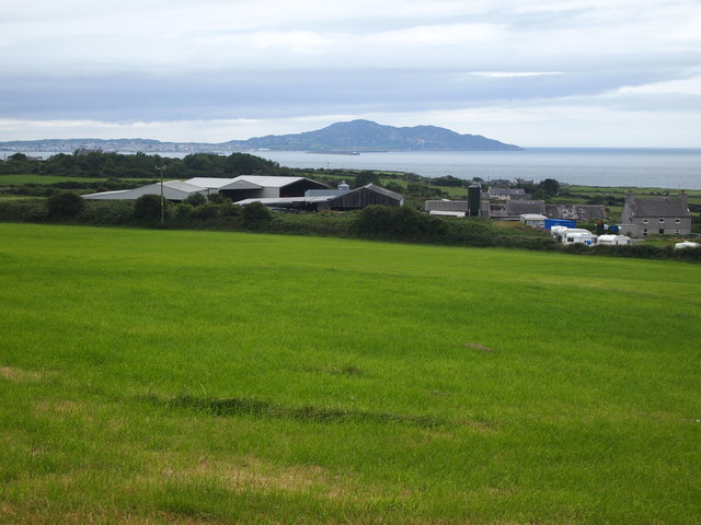
Porth Trefadog offers a peaceful and secluded environment, making it a perfect destination for those seeking relaxation and solitude. The bay is relatively undeveloped, with no major tourist facilities or amenities. This adds to its charm and unspoiled nature.

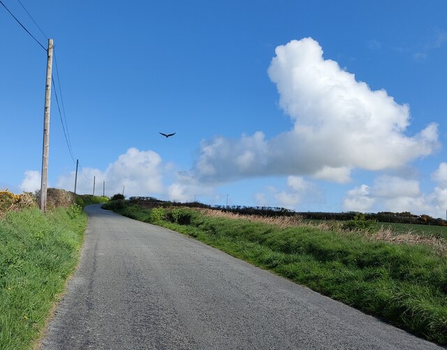
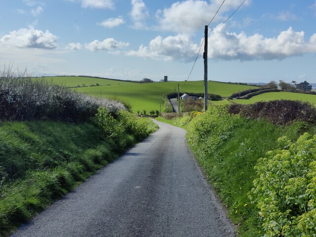
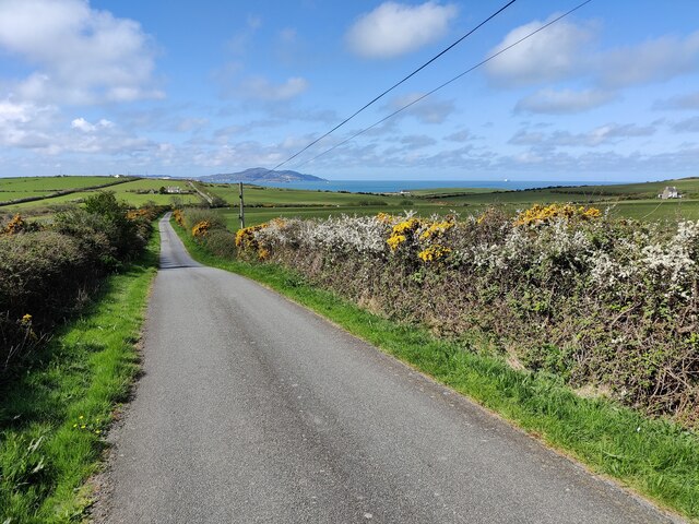
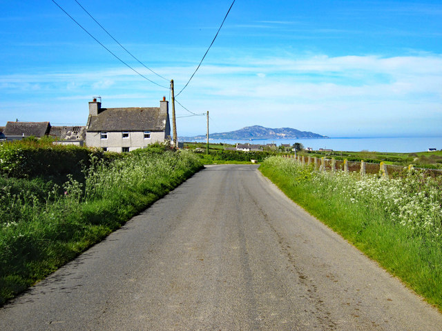
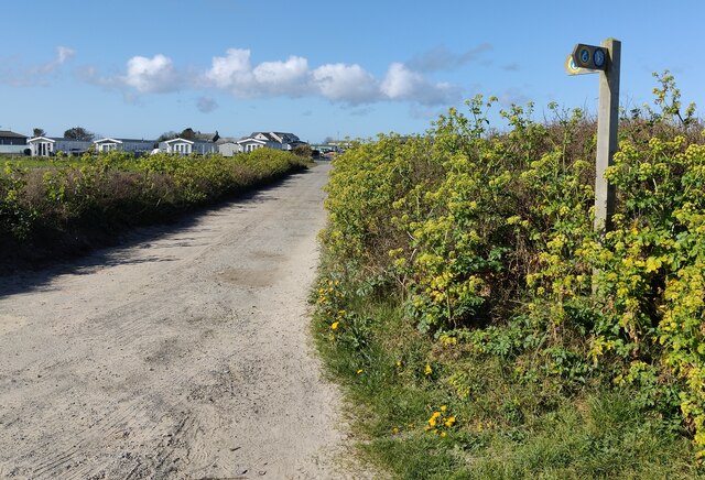
Access to Porth Trefadog is via a narrow country road, which adds to the sense of seclusion. There is limited parking available near the beach. The bay is best visited during low tide, as the beach can become narrow during high tide.

Overall, Porth Trefadog is a hidden gem on the island of Anglesey, offering natural beauty, tranquility, and a chance to escape the crowds and immerse oneself in the peacefulness of nature.

If you have any feedback on the listing, please let us know in the comments section below.

Porth Trefadog Images

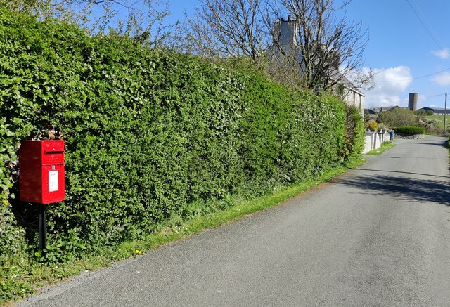
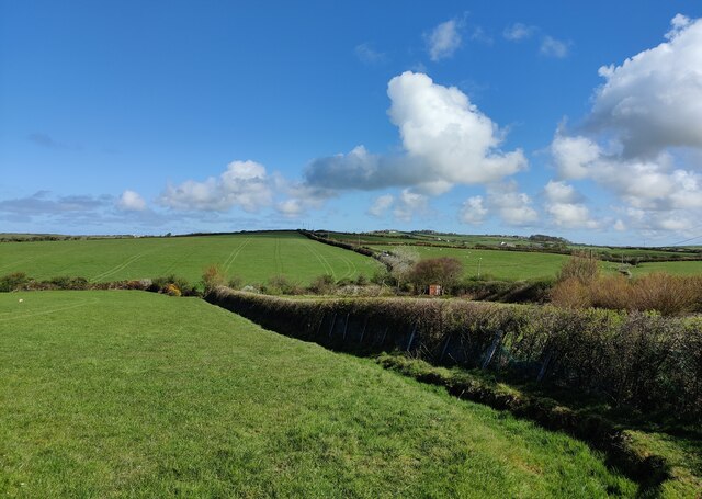
Images are sourced within 2km of 53.343482/-4.5697596 or Grid Reference SH2986. Thanks to Geograph Open Source API. All images are credited.

Postbox at Llanfwrog
Farmland at Pont-y-person
Lane towards Llanfaethlu
Lane towards Llanfwrog
Rhosddu near Llanfaethlu
Gorse bushes near Pant Ednyfed
Ruined building at Cae Nethor Along the lane to Trefadog.
Ruined building at Cae Nethor
Along the lane to Trefadog.
Lane descending towards Trefadog
Lane at Cil Maenan Country Lane to the west of Llanfaethlu. Holyhead Mountain can be seen in the distance.
Lane at Cil Maenan
Country Lane to the west of Llanfaethlu. Holyhead Mountain can be seen in the distance.
Agricultural Buildings, Cil Maenen
Lane at Porth Tywyn-mawr
Wales Coast Path at Porth Tywyn-mawr The Wales Coast Path (Welsh: Llwybr Arfordir Cymru) is a long distance footpath which follows the whole of the coastline of Wales. It opened on 5 May 2012, and offers a 870 mile long route from Chepstow in the south to Queensferry in the north.
Wales is the first country in the world to provide a dedicated footpath along its entire coastline. The Path runs through eleven National Nature Reserves and other nature reserves, including those managed by The Wildlife Trusts or Royal Society for the Protection of Birds (RSPB).
Logo can be seen at<a href="https://www.geograph.org.uk/photo/3738617">SS0897 : Logo, Wales Coast Path</a>.
Website: <span class="nowrap"><a title="http://www.walescoastpath.gov.uk/default.aspx" rel="nofollow ugc noopener" href="http://www.walescoastpath.gov.uk/default.aspx">Link</a><img style="margin-left:2px;" alt="External link" title="External link - shift click to open in new window" src="https://s1.geograph.org.uk/img/external.png" width="10" height="10"/></span>
Wales Coast Path at Porth Tywyn-mawr
The Wales Coast Path (Welsh: Llwybr Arfordir Cymru) is a long distance footpath which follows the whole of the coastline of Wales. It opened on 5 May 2012, and offers a 870 mile long route from Chepstow in the south to Queensferry in the north. Wales is the first country in the world to provide a dedicated footpath along its entire coastline. The Path runs through eleven National Nature Reserves and other nature reserves, including those managed by The Wildlife Trusts or Royal Society for the Protection of Birds (RSPB). Logo can be seen atSS0897 : Logo, Wales Coast Path. Website: LinkExternal link
Porth Tywyn-mawr This half mile stretch of beach is also known as Sandy Beach.
Porth Tywyn-mawr
This half mile stretch of beach is also known as Sandy Beach.
Porth Tywyn-mawr A half mile stretch of beach also known as Sandy Beach.
Porth Tywyn-mawr
A half mile stretch of beach also known as Sandy Beach.
Rocks on the beach at Porth Tywyn-mawr A half mile stretch of beach also known as Sandy Beach.
Rocks on the beach at Porth Tywyn-mawr
A half mile stretch of beach also known as Sandy Beach.
Shingle beach near Creigiau Cliperau At the Penrhyn Caravan Park.
Shingle beach near Creigiau Cliperau
At the Penrhyn Caravan Park.
Rocks overlooking Porth Tywyn-mawr
Show me another place!

Porth Trefadog is located at Grid Ref: SH2986 (Lat: 53.343482, Lng: -4.5697596)

Unitary Authority: Isle of Anglesey

Police Authority: North Wales

What 3 Words

///valid.boarded.flamenco. Near Llanfaethlu, Isle of Anglesey

Related Wikis

Llanfwrog, Anglesey

Llanfwrog is a village in Anglesey, in north-west Wales. It lies about 4 miles (6.4 km) to the northeast of Holyhead. The village lies near the coast about...

Llanfaethlu

Llanfaethlu is a village and community in the north west of Anglesey, in north-west Wales. The community population taken at the 2011 Census was 553. The...

St Maethlu's Church, Llanfaethlu

St Maethlu's Church is a medieval church in the village of Llanfaethlu, Anglesey, Wales. It is one of a number of churches in the parish and benefice of...

Carreglwyd

Carreglwyd is a Georgian country house, on the northwest of the Isle of Anglesey, about 1 km NW of Llanfaethlu in Wales, at grid reference SH309878. "Carreglwyd...

Nearby Amenities

Located within 500m of 53.343482,-4.5697596
Porth Defaid
Natural: beach
Lat/Long: 53.3406146/-4.5713065
Porth Dre-fadog
Natural: beach
Lat/Long: 53.3443589/-4.5678678
Direction: 285
Generator Method: photovoltaic
Generator Output Electricity: yes
Generator Solar Modules: 16
Generator Source: solar
Generator Type: solar_photovoltaic_panel
Location: roof
Power: generator
Lat/Long: 53.3404587/-4.568046
The data included in this document is from www.openstreetmap.org. The data is made available under ODbL.

Have you been to Porth Trefadog?

Leave your review of Porth Trefadog below (or comments, questions and feedback).