Bay of Keisgaig

Bay in Sutherland

Scotland

Bay of Keisgaig

Coastal cliffs south of Cape Wrath Seen from Sandwood Bay.  The rounded hill just left of centre is Cul an Fhraochaidh, 153m, with Dunan Mor behind it.
Coastal cliffs south of Cape Wrath Credit: David Purchase

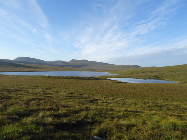
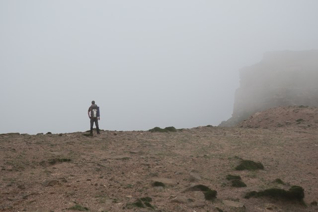
The Bay of Keisgaig, located in Sutherland, Scotland, is a picturesque coastal area known for its natural beauty and rich cultural history. Situated on the northern coast of Scotland, the bay offers breathtaking views of the North Atlantic Ocean and the surrounding rugged cliffs.

The bay is characterized by its pristine sandy beaches, crystal-clear turquoise waters, and diverse marine life. It serves as a popular destination for outdoor enthusiasts, offering opportunities for activities such as swimming, snorkeling, fishing, and kayaking. The bay is also surrounded by lush greenery and rolling hills, providing a perfect backdrop for hiking and exploring the nearby nature trails.

Apart from its natural attractions, the Bay of Keisgaig holds historical significance. It is home to several archaeological sites, including the remains of ancient settlements and burial grounds. These sites offer a glimpse into the region's past, dating back thousands of years.

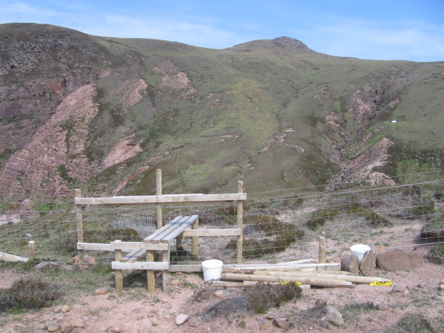
The bay is easily accessible, with nearby accommodations and facilities catering to visitors. It also serves as a gateway to other attractions in the area, such as the nearby village of Tongue and the famous Smoo Cave.

Overall, the Bay of Keisgaig in Sutherland is a captivating destination for nature lovers and history enthusiasts alike. Its stunning landscapes, outdoor activities, and cultural heritage make it a must-visit location for those exploring the Scottish Highlands.

If you have any feedback on the listing, please let us know in the comments section below.

Bay of Keisgaig Images

Images are sourced within 2km of 58.577064/-5.0193906 or Grid Reference NC2469. Thanks to Geograph Open Source API. All images are credited.

Coastal cliffs south of Cape Wrath Seen from Sandwood Bay.  The rounded hill just left of centre is Cul an Fhraochaidh, 153m, with Dunan Mor behind it.
Coastal cliffs south of Cape Wrath
Seen from Sandwood Bay. The rounded hill just left of centre is Cul an Fhraochaidh, 153m, with Dunan Mor behind it.
River Keisgaig River Keisgaig as it turns north, and starts its mini "gorge" to the sea.
River Keisgaig
River Keisgaig as it turns north, and starts its mini "gorge" to the sea.
Loch a' Gheodha Ruaidh Parph moor, relatively dry ground, but I'd imagine it would be very boggy in other months.
Loch a' Gheodha Ruaidh
Parph moor, relatively dry ground, but I'd imagine it would be very boggy in other months.
Cape Wrath range boundary Just south of Keisgaig River, looking to Sithean na h-Iolaireich
Cape Wrath range boundary
Just south of Keisgaig River, looking to Sithean na h-Iolaireich
Weathered sandstone on Sithean na h-Iolaireich These piles of weathered sandstone are quite common, poking out of ground that is more machair than heather close to the coast. The cliffs in the background fall about 400 feet into the sea.
Weathered sandstone on Sithean na h-Iolaireich
These piles of weathered sandstone are quite common, poking out of ground that is more machair than heather close to the coast. The cliffs in the background fall about 400 feet into the sea.
Looking SW from Sithean na h-Iolaireich A mix of heather and grassland dominates this area.
Looking SW from Sithean na h-Iolaireich
A mix of heather and grassland dominates this area.
Wave cut platform at Keisgaig Bay Looking south along the shoreline of Keisgaig Bay
Wave cut platform at Keisgaig Bay
Looking south along the shoreline of Keisgaig Bay
MoD Range fence at Keisgaig Bay The western end of the MoD firing range fence. Taken from the "hot" side of the wire looking towards the northern side of Keisgaig Bay.
MoD Range fence at Keisgaig Bay
The western end of the MoD firing range fence. Taken from the "hot" side of the wire looking towards the northern side of Keisgaig Bay.
Keisgaig River Reputedly the most northerly salmon stream on mainland Britain, in this photo the Keisgaig is running far too low for any fish to run. I camped comfortably on the small promontory across the river.
Keisgaig River
Reputedly the most northerly salmon stream on mainland Britain, in this photo the Keisgaig is running far too low for any fish to run. I camped comfortably on the small promontory across the river.
Sandy ground above Atlantic cliffs
View South West from near Cnoc an Daimh A view of the relatively featureless area on the direct line from Kervaig to Strathchailleach..
View South West from near Cnoc an Daimh
A view of the relatively featureless area on the direct line from Kervaig to Strathchailleach..
Geodha Ruadh na Fola
Sìthean na ha-Iolaireich
Cul an Fraochaidh towards Sithean na h-Iolaireich
Keisgaig River
Keisgaig River
Building ruins near Bay of Keisgaig
Stile over fence at Bay of Keisgaig
Cliffside at Bay of Keisgaig
Show me another place!

Bay of Keisgaig is located at Grid Ref: NC2469 (Lat: 58.577064, Lng: -5.0193906)

Unitary Authority: Highland

Police Authority: Highlands and Islands

What 3 Words

///variances.slicing.deflate. Near Oldshoremore, Highland

Nearby Locations

Bay of Keisgaig

Related Wikis

Sandwood Bay

Sandwood Bay (Scottish Gaelic: Bàgh Seannabhad) is a natural bay in Sutherland, on the far north-west coast of mainland Scotland. It is best known for...

Cape Wrath

Cape Wrath (Scottish Gaelic: Am Parbh, known as An Carbh in Lewis) is a cape in the Durness parish of the county of Sutherland in the Highlands of Scotland...

Cape Wrath Lighthouse

Cape Wrath Lighthouse at Cape Wrath was built in 1828 by Robert Stevenson and was manned until 1998, when it was converted to automatic operation by the...
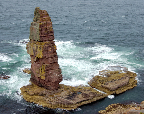
Am Buachaille

Am Buachaille is a sea stack, or vertical rock formation composed of Torridonian Sandstone, 1 mile (1.5 kilometres) southwest of Sandwood Bay in the Scottish...

Nearby Amenities

Located within 500m of 58.577064,-5.0193906
Source: PGS
Lat/Long: 58.5809485/-5.0202831
Source: PGS
Lat/Long: 58.5803983/-5.0207342
Created By: almien_coastlines
Source: PGS
Lat/Long: 58.579947/-5.021571
Source: PGS
Lat/Long: 58.5796234/-5.0217214
Source: PGS
Lat/Long: 58.579184/-5.0218135
Source: PGS
Lat/Long: 58.5788134/-5.0217242
Source: PGS
Lat/Long: 58.578683/-5.0187195
Created By: almien_coastlines
Source: PGS
Lat/Long: 58.578466/-5.018054
Source: PGS
Lat/Long: 58.5784351/-5.0172527
Source: PGS
Lat/Long: 58.5784396/-5.0159605
Source: PGS
Lat/Long: 58.5784946/-5.0146483
Source: PGS
Lat/Long: 58.5781309/-5.0141841
Source: PGS
Lat/Long: 58.5777744/-5.013948
Created By: almien_coastlines
Source: PGS
Lat/Long: 58.5775/-5.014323
Source: PGS
Lat/Long: 58.5774639/-5.014448
Source: PGS
Lat/Long: 58.5772348/-5.0149171
Source: PGS
Lat/Long: 58.5767855/-5.0157668
Source: PGS
Lat/Long: 58.5766539/-5.0155988
Source: PGS
Lat/Long: 58.5765395/-5.0154457
Source: PGS
Lat/Long: 58.5762979/-5.0164479
Source: PGS
Lat/Long: 58.575916/-5.0171588
Source: PGS
Lat/Long: 58.5758556/-5.0179998
Source: PGS
Lat/Long: 58.5752994/-5.0201998
Source: PGS
Lat/Long: 58.5750561/-5.0202218
Source: PGS
Lat/Long: 58.5746199/-5.0204017
Source: PGS
Lat/Long: 58.5742701/-5.0209125
Source: PGS
Lat/Long: 58.5740228/-5.0217774
Source: PGS
Lat/Long: 58.5736202/-5.0223384
Bay of Keisgaig
Natural: bay
Source: OS7
Lat/Long: 58.5772666/-5.020735
The data included in this document is from www.openstreetmap.org. The data is made available under ODbL.

Have you been to Bay of Keisgaig?

Leave your review of Bay of Keisgaig below (or comments, questions and feedback).