Porth Namarch

Bay in Anglesey

Wales

Porth Namarch

Gogarth Bay and North Stack From near the coast path.
Gogarth Bay and North Stack Credit: Mike Searle

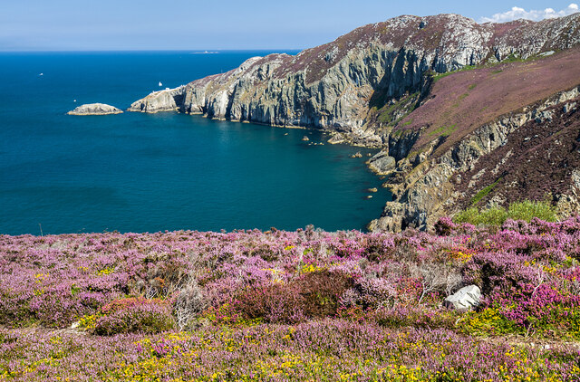
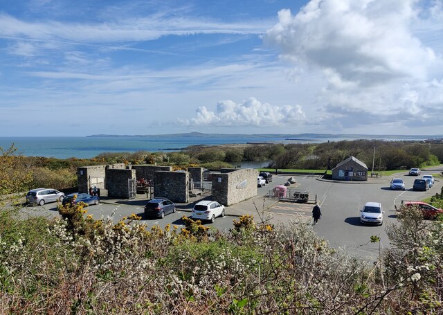
Porth Namarch, also known as Church Bay, is a picturesque coastal bay located on the Isle of Anglesey, Wales. Situated on the western coast of the island, the bay offers stunning views of the Irish Sea and is renowned for its natural beauty and tranquility.

The bay is characterized by its pristine sandy beach, which stretches for approximately half a mile. The golden sand is perfect for sunbathing and building sandcastles, while the clear blue waters are ideal for swimming and water sports. The beach is also popular among anglers, who can be seen casting their lines from the shore or the nearby rocks.

One of the notable features of Porth Namarch is the Church Bay Inn, a historic pub that dates back to the 17th century. This charming establishment offers a cozy atmosphere and serves delicious traditional Welsh cuisine, including freshly caught seafood.

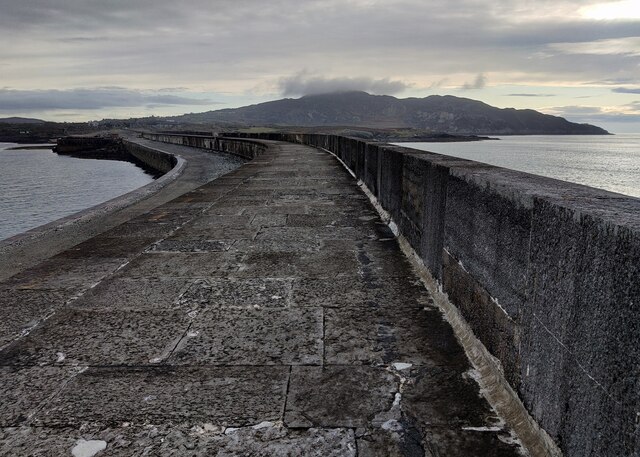
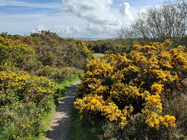
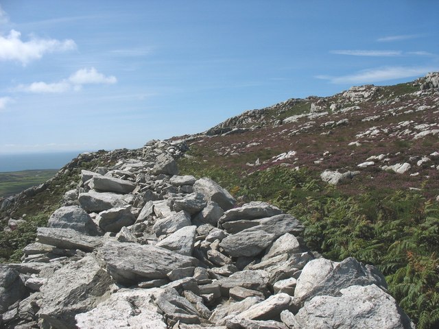
The bay is surrounded by rolling green hills, providing a scenic backdrop for visitors. The area is rich in wildlife, and it is not uncommon to spot seals, dolphins, and various seabirds while exploring the bay. The nearby coastal path offers breathtaking views of the rugged coastline, making it a favorite spot for hikers and nature enthusiasts.

Porth Namarch is a hidden gem on the Isle of Anglesey, offering visitors a peaceful and idyllic coastal experience. Whether you're seeking relaxation on the beach, exploring the stunning natural surroundings, or enjoying a meal at the historic pub, this bay has something to offer for everyone.

If you have any feedback on the listing, please let us know in the comments section below.

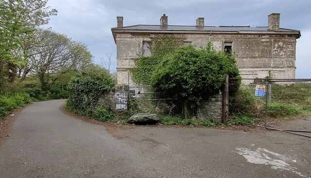
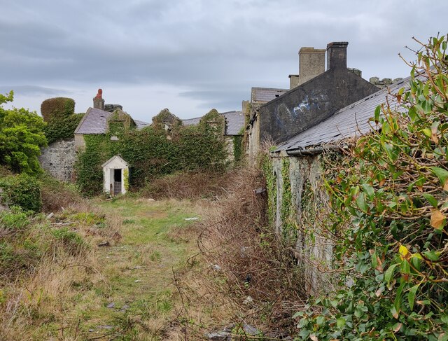
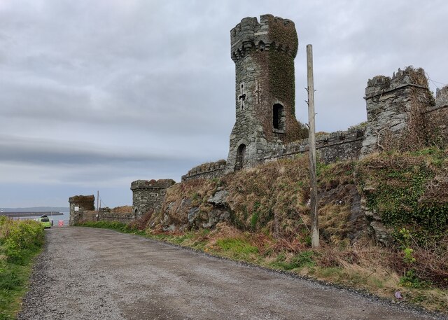
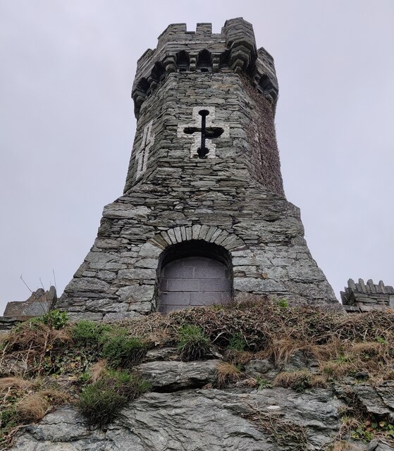
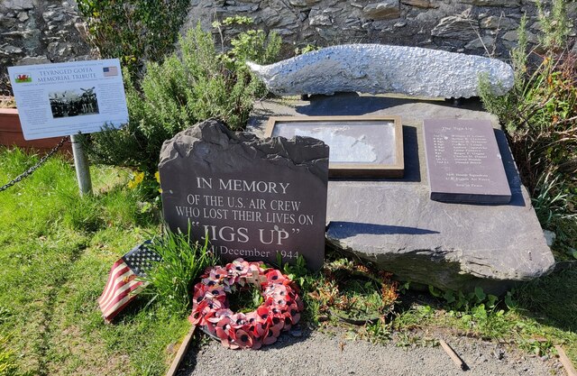
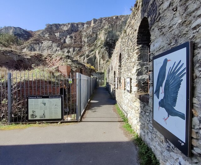
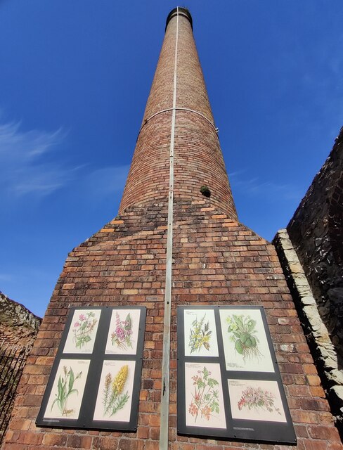
Porth Namarch Images

Images are sourced within 2km of 53.320461/-4.6637286 or Grid Reference SH2283. Thanks to Geograph Open Source API. All images are credited.

Gogarth Bay and North Stack From near the coast path.
Gogarth Bay and North Stack
From near the coast path.
Holyhead Maritime Museum Former lifeboat house, circa 1850s. A Grade II Listed Building.
Rubble with freestone dressings and copings (but mainly rendered and painted), slate roof. Aligned roughly N-S with gable and facing sea. Shaped gables (similar to Holyhead market hall) with ball finials; former broad doorways covered during conversion to restaurant (added bay window to N). Long shallow extension to W side; attached gabled range to NE. Some remains of slipway mechanism to seaward side.
Believed to be the oldest surviving lifeboat house in Wales.
** Courtesy British Listed Buildings.
Holyhead Maritime Museum
Former lifeboat house, circa 1850s. A Grade II Listed Building. Rubble with freestone dressings and copings (but mainly rendered and painted), slate roof. Aligned roughly N-S with gable and facing sea. Shaped gables (similar to Holyhead market hall) with ball finials; former broad doorways covered during conversion to restaurant (added bay window to N). Long shallow extension to W side; attached gabled range to NE. Some remains of slipway mechanism to seaward side. Believed to be the oldest surviving lifeboat house in Wales. ** Courtesy British Listed Buildings.
Caer y Twy Fort Entrance <span class="nowrap"><a title="https://www.megalithic.co.uk/article.php?sid=5955" rel="nofollow ugc noopener" href="https://www.megalithic.co.uk/article.php?sid=5955">Link</a><img style="margin-left:2px;" alt="External link" title="External link - shift click to open in new window" src="https://s1.geograph.org.uk/img/external.png" width="10" height="10"/></span>
Caer y Twy Fort Entrance
Derelict Jetty Below Porth-y-felin House
Holyhead Breakwater
Holyhead Breakwater
Dutch navy memorial The memorial overlooks the Outer Harbour at Newry Beach. The memorial, created in 2014, commemorates the presence of a section of the Dutch Navy in Holyhead during the Second World War.
Dutch navy memorial
The memorial overlooks the Outer Harbour at Newry Beach. The memorial, created in 2014, commemorates the presence of a section of the Dutch Navy in Holyhead during the Second World War.
Rocky shoreline at Porth-y-Felin
Derelict Porth-y-felin House Porth-y-felin House, originally known as Government House, was built in about 1849, it was used by the resident engineer of Holyhead breakwater. It was also used for some years as the harbourmasters residence. It is a Grade II listed building.
Derelict Porth-y-felin House
Porth-y-felin House, originally known as Government House, was built in about 1849, it was used by the resident engineer of Holyhead breakwater. It was also used for some years as the harbourmasters residence. It is a Grade II listed building.
Derelict Soldier's Point House Built in 1849, the Soldier's Point House was formerly the residence of the Government contractor for the construction of the nearby Holyhead breakwater. In about 1950 it became a hotel but then fell into disuse around the turn of the twenty-first century, and was then seriously damaged by a fire in 2011. It has been Grade II listed since July 1994.
<a href="https://www.geograph.org.uk/photo/2602243">SH2383 : Soldier's Point House</a>, same view of the house before the fire in 2011.
Derelict Soldier's Point House
Built in 1849, the Soldier's Point House was formerly the residence of the Government contractor for the construction of the nearby Holyhead breakwater. In about 1950 it became a hotel but then fell into disuse around the turn of the twenty-first century, and was then seriously damaged by a fire in 2011. It has been Grade II listed since July 1994. SH2383 : Soldier's Point House, same view of the house before the fire in 2011.
Derelict outbuildings at Soldier's Point House Built in 1849, the Soldier's Point House was formerly the residence of the Government contractor for the construction of the nearby Holyhead breakwater. In about 1950 it became a hotel but then fell into disuse around the turn of the twenty-first century, and was then seriously damaged by a fire in 2011. It has been Grade II listed since July 1994.
Derelict outbuildings at Soldier's Point House
Built in 1849, the Soldier's Point House was formerly the residence of the Government contractor for the construction of the nearby Holyhead breakwater. In about 1950 it became a hotel but then fell into disuse around the turn of the twenty-first century, and was then seriously damaged by a fire in 2011. It has been Grade II listed since July 1994.
Castellated screen wall and tower at Soldier's Point House Built in 1849, the Soldier's Point House was formerly the residence of the Government contractor for the construction of the nearby Holyhead breakwater. In about 1950 it became a hotel but then fell into disuse around the turn of the twenty-first century, and was then seriously damaged by a fire in 2011. It has been Grade II listed since July 1994.
Castellated screen wall and tower at Soldier's Point House
Built in 1849, the Soldier's Point House was formerly the residence of the Government contractor for the construction of the nearby Holyhead breakwater. In about 1950 it became a hotel but then fell into disuse around the turn of the twenty-first century, and was then seriously damaged by a fire in 2011. It has been Grade II listed since July 1994.
Holyhead Breakwater and Mountain At 1.7 miles long, it is the longest breakwater in the United Kingdom. Work began in 1845 and it was completed in 1873.
Holyhead Mountain is 722 feet high.
Holyhead Breakwater and Mountain
At 1.7 miles long, it is the longest breakwater in the United Kingdom. Work began in 1845 and it was completed in 1873. Holyhead Mountain is 722 feet high.
Tower at Soldier's Point House Built in 1849, the Soldier's Point House was formerly the residence of the Government contractor for the construction of the nearby Holyhead breakwater. In about 1950 it became a hotel but then fell into disuse around the turn of the twenty-first century, and was then seriously damaged by a fire in 2011. It has been Grade II listed since July 1994.
Tower at Soldier's Point House
Built in 1849, the Soldier's Point House was formerly the residence of the Government contractor for the construction of the nearby Holyhead breakwater. In about 1950 it became a hotel but then fell into disuse around the turn of the twenty-first century, and was then seriously damaged by a fire in 2011. It has been Grade II listed since July 1994.
Memorial next to the Brick Shed Gallery This American aircrew memorial is for the eight American airmen who died on 22 December 1944 after their US Air Force B-24 Liberator bomber crashed into the sea near Holyhead Mountain. The memorial was unveiled in 1993, it is situated next to the Brick Shed Gallery at the Holyhead Breakwater Country Park.
Memorial next to the Brick Shed Gallery
This American aircrew memorial is for the eight American airmen who died on 22 December 1944 after their US Air Force B-24 Liberator bomber crashed into the sea near Holyhead Mountain. The memorial was unveiled in 1993, it is situated next to the Brick Shed Gallery at the Holyhead Breakwater Country Park.
The Brick Shed Gallery at the Holyhead Breakwater Country Park The Holyhead Breakwater Country Park was opened in 1990 and is situated on the site of the old quarry which supplied stone for the construction of Holyhead Breakwater between 1846 and 1873.
The Brick Shed Gallery exhibits local artwork in the former brick shed, it also contains history about the country park, breakwater and Holy Island.
The Brick Shed Gallery at the Holyhead Breakwater Country Park
The Holyhead Breakwater Country Park was opened in 1990 and is situated on the site of the old quarry which supplied stone for the construction of Holyhead Breakwater between 1846 and 1873. The Brick Shed Gallery exhibits local artwork in the former brick shed, it also contains history about the country park, breakwater and Holy Island.
Chimney at the former brick shed The Holyhead Breakwater Country Park was opened in 1990 and is situated on the site of the old quarry which supplied stone for the construction of Holyhead Breakwater between 1846 and 1873.
The Brick Shed Gallery exhibits local artwork in the former brick shed, it also contains history about the country park, breakwater and Holy Island.
Chimney at the former brick shed
The Holyhead Breakwater Country Park was opened in 1990 and is situated on the site of the old quarry which supplied stone for the construction of Holyhead Breakwater between 1846 and 1873. The Brick Shed Gallery exhibits local artwork in the former brick shed, it also contains history about the country park, breakwater and Holy Island.
Car park at the Holyhead Breakwater Country Park The Holyhead Breakwater Country Park was opened in 1990 and is situated on the site of the old quarry which supplied stone for the construction of Holyhead Breakwater between 1846 and 1873.
Car park at the Holyhead Breakwater Country Park
The Holyhead Breakwater Country Park was opened in 1990 and is situated on the site of the old quarry which supplied stone for the construction of Holyhead Breakwater between 1846 and 1873.
Gorse bushes at the Holyhead Breakwater Country Park The Holyhead Breakwater Country Park was opened in 1990 and is situated on the site of the old quarry which supplied stone for the construction of Holyhead Breakwater between 1846 and 1873.
Gorse bushes at the Holyhead Breakwater Country Park
The Holyhead Breakwater Country Park was opened in 1990 and is situated on the site of the old quarry which supplied stone for the construction of Holyhead Breakwater between 1846 and 1873.
Show me another place!

Porth Namarch is located at Grid Ref: SH2283 (Lat: 53.320461, Lng: -4.6637286)

Unitary Authority: Isle of Anglesey

Police Authority: North Wales

What 3 Words

///selection.incur.quail. Near Holyhead, Isle of Anglesey

Nearby Locations

Porth Namarch Pwll Clai

Related Wikis

Llaingoch

Llaingoch () is an area of Holyhead in North Wales that lies between the town centre and Holyhead Mountain. The name comes from the Welsh llain, plot or...
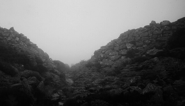
Caer y Twr

Caer y Twr (meaning 'fort of the pile/heap') is an Iron Age hillfort atop the summit of the Holyhead Mountain in Anglesey, Wales. The hillfort, which...

RAF Holyhead

Royal Air Force Holyhead or more simply RAF Holyhead is a former Royal Air Force station situated at Holyhead, Anglesey, Wales. The former headquarters...

Holyhead Mountain

Holyhead Mountain (Welsh Mynydd Twr, from mynydd 'mountain, unenclosed land' and twr 'a heap, pile') is the highest point on Holy Island, Anglesey, and...

Nearby Amenities

Located within 500m of 53.320461,-4.6637286
Source: PGS
Lat/Long: 53.3211988/-4.6707197
Source: PGS
Lat/Long: 53.3213265/-4.6697623
Source: PGS
Lat/Long: 53.3215163/-4.6686062
Source: PGS
Lat/Long: 53.3213905/-4.6682796
Source: PGS
Lat/Long: 53.3207614/-4.6675702
Source: PGS
Lat/Long: 53.3205297/-4.6672383
Source: PGS
Lat/Long: 53.320325/-4.6671451
Source: PGS
Lat/Long: 53.3198368/-4.6673121
Created By: almien_coastlines
Source: PGS
Lat/Long: 53.3189056/-4.6659988
Created By: almien_coastlines
Source: PGS
Lat/Long: 53.3190396/-4.6655768
Created By: almien_coastlines
Source: PGS
Lat/Long: 53.3187956/-4.6647118
Created By: almien_coastlines
Source: PGS
Lat/Long: 53.3189466/-4.6630058
Created By: almien_coastlines
Source: PGS
Lat/Long: 53.3192266/-4.6613048
Source: PGS
Lat/Long: 53.3193771/-4.6604947
Created By: almien_coastlines
Source: PGS
Lat/Long: 53.3196266/-4.6602518
Created By: almien_coastlines
Source: PGS
Lat/Long: 53.3201416/-4.6600568
Created By: almien_coastlines
Source: PGS
Lat/Long: 53.3202746/-4.6596338
Created By: almien_coastlines
Source: PGS
Lat/Long: 53.3205366/-4.6592168
Created By: almien_coastlines
Source: PGS
Lat/Long: 53.3205486/-4.6583608
Created By: almien_coastlines
Source: PGS
Lat/Long: 53.3205606/-4.6575058
Created By: almien_coastlines
Source: PGS
Lat/Long: 53.3208226/-4.6570878
Barrier: kissing_gate
Lat/Long: 53.3187831/-4.66775
Holyhead Breakwater Country Park
Leisure: park
Lat/Long: 53.3165274/-4.6639887
Tourism: picnic_site
Lat/Long: 53.3168543/-4.6645766
Bench
Lat/Long: 53.3169014/-4.664351
Tourism: picnic_site
Lat/Long: 53.3170411/-4.6645542
Barrier: kissing_gate
Lat/Long: 53.3174077/-4.6652903
Barrier: kissing_gate
Lat/Long: 53.3180251/-4.6648512
Man Made: chimney
Lat/Long: 53.3160987/-4.6631818
Porth Namarch
Natural: bay
Lat/Long: 53.3199438/-4.6650237
Natural: cave_entrance
Lat/Long: 53.3208282/-4.6708387
Natural: cave_entrance
Lat/Long: 53.3196747/-4.6674913
Bench
Lat/Long: 53.3199738/-4.6583231
Bench
Lat/Long: 53.3187597/-4.6625878
Bench
Lat/Long: 53.3184838/-4.6673502
The data included in this document is from www.openstreetmap.org. The data is made available under ODbL.

Have you been to Porth Namarch?

Leave your review of Porth Namarch below (or comments, questions and feedback).