North Bay
Bay in Ayrshire
Scotland
North Bay
North Bay, Ayrshire, commonly known as Bay, is a coastal village located on the western coast of Scotland. Situated approximately 20 miles southwest of Glasgow, it falls within the North Ayrshire council area. The village is nestled between the larger towns of Irvine and Ardrossan and is well-connected by road and rail networks.
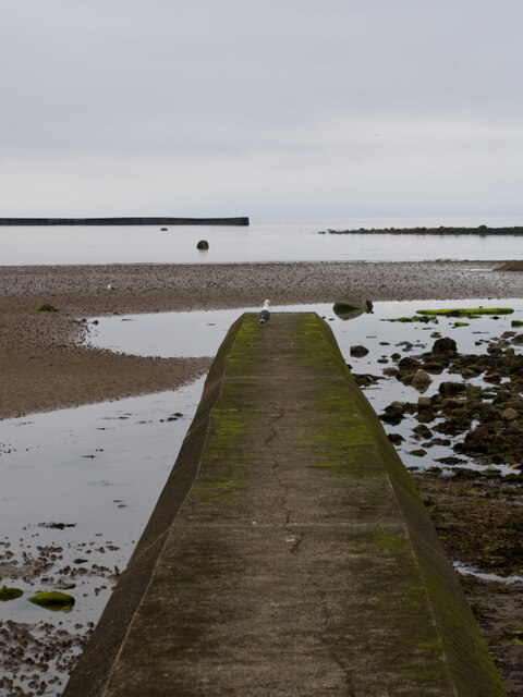
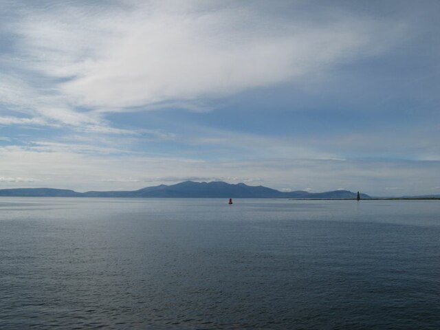
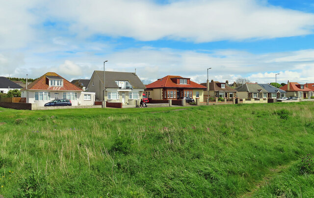
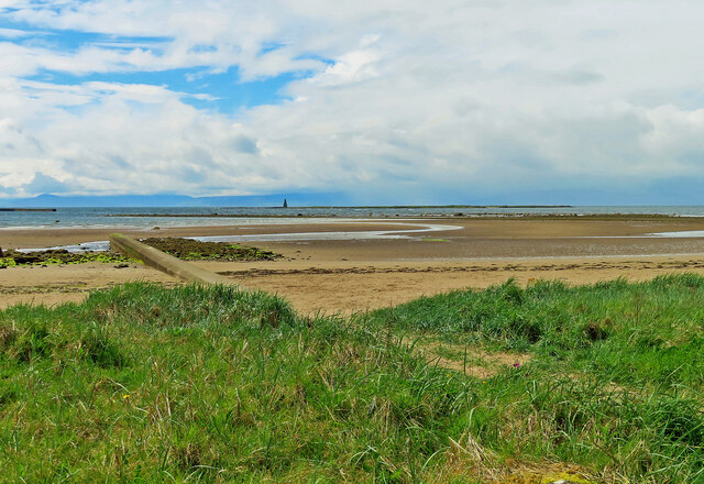
North Bay is renowned for its picturesque coastline, featuring a sandy beach that stretches for approximately two miles. The bay offers stunning views of the Isle of Arran and the Firth of Clyde, attracting both locals and tourists alike. The beach is a popular spot for various recreational activities, including swimming, sunbathing, and picnicking. The area is also known for its excellent water quality, earning it several awards for cleanliness.
The village itself is small and has a close-knit community. It offers a range of amenities, including a few local shops, cafes, and restaurants. Additionally, there is a primary school and a community center that hosts various events and activities for residents. The nearby towns of Irvine and Ardrossan provide more extensive services, such as supermarkets, healthcare facilities, and secondary schools.
North Bay is surrounded by beautiful natural landscapes, making it an ideal location for outdoor enthusiasts. The area offers various walking and cycling routes, allowing visitors to explore the rugged coastline and nearby countryside. The village is also a popular spot for birdwatching and fishing.
Overall, North Bay, Ayrshire, is a charming coastal village that offers a tranquil and scenic environment, making it a sought-after destination for those seeking a peaceful getaway or a place to call home.
If you have any feedback on the listing, please let us know in the comments section below.
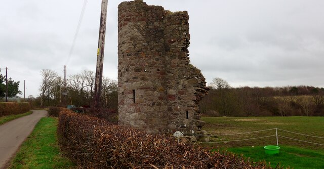
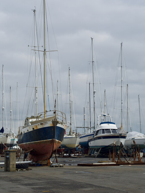
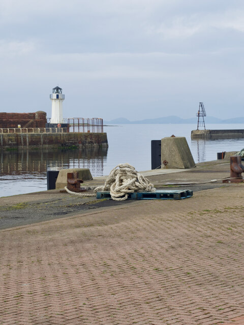
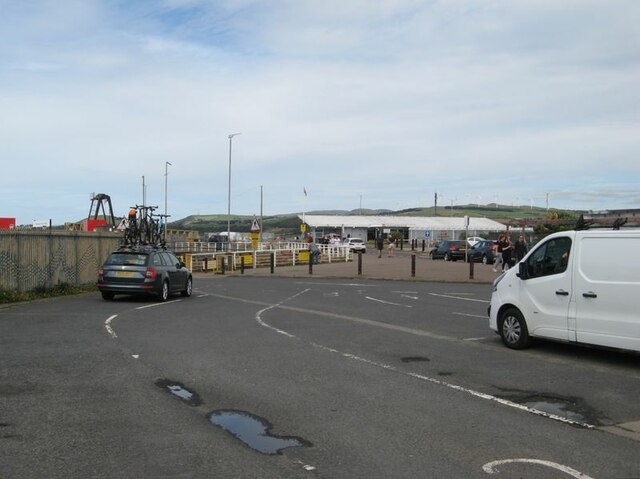
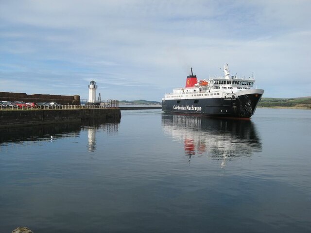
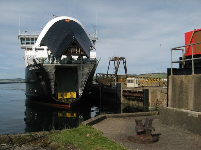
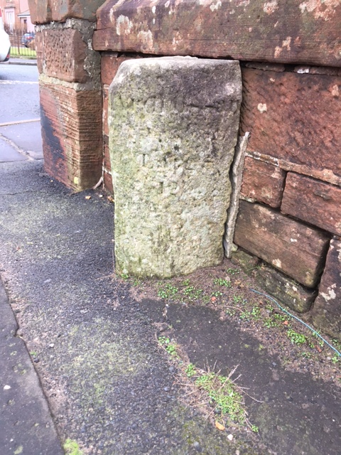
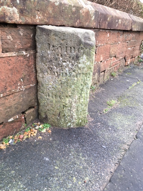
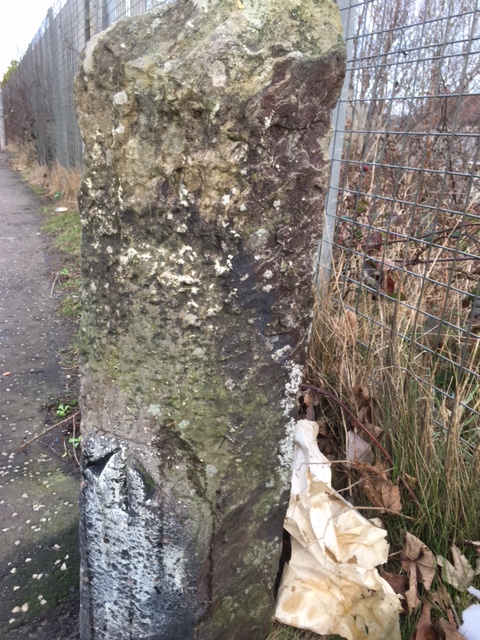
North Bay Images
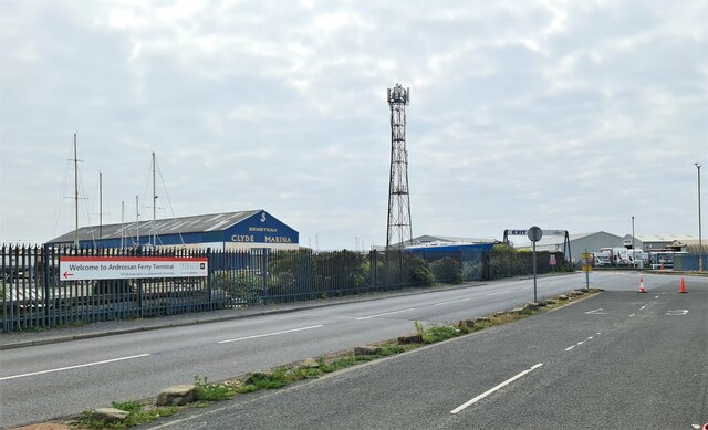
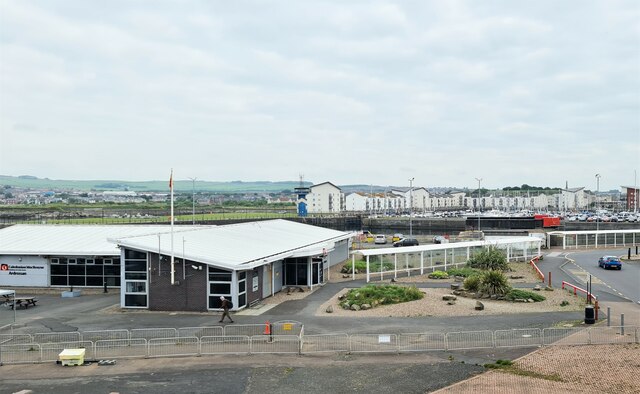
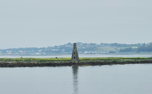
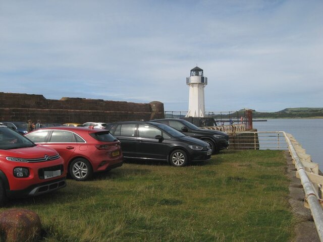
Images are sourced within 2km of 55.647725/-4.8239326 or Grid Reference NS2242. Thanks to Geograph Open Source API. All images are credited.

North Bay is located at Grid Ref: NS2242 (Lat: 55.647725, Lng: -4.8239326)
Unitary Authority: North Ayrshire
Police Authority: Ayrshire
What 3 Words
///trader.timing.tour. Near Ardrossan, North Ayrshire
Related Wikis

Ardrossan Montgomerie Pier railway station
Ardrossan Montgomerie Pier railway station was a railway station serving the town of Ardrossan, North Ayrshire, Scotland as part of the Lanarkshire and...
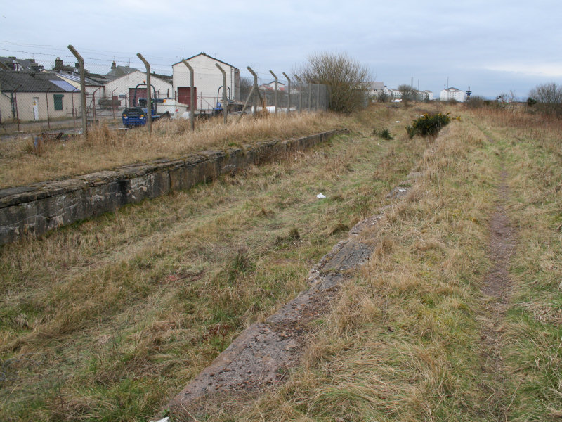
Ardrossan North railway station
Ardrossan North railway station was a railway station serving the town of Ardrossan, North Ayrshire, Scotland as part of the Lanarkshire and Ayrshire Railway...

Ardrossan Winton Pier railway station
Ardrossan Winton Pier railway station served the town of Ardrossan and its harbour, North Ayrshire, Scotland. The station allowed train passengers to link...

Ardrossan Harbour railway station
Ardrossan Harbour railway station is one of three remaining railway stations in the town of Ardrossan, North Ayrshire, Scotland. The station is managed...
Nearby Amenities
Located within 500m of 55.647725,-4.8239326Have you been to North Bay?
Leave your review of North Bay below (or comments, questions and feedback).