Porth Ruffydd
Bay in Anglesey
Wales
Porth Ruffydd
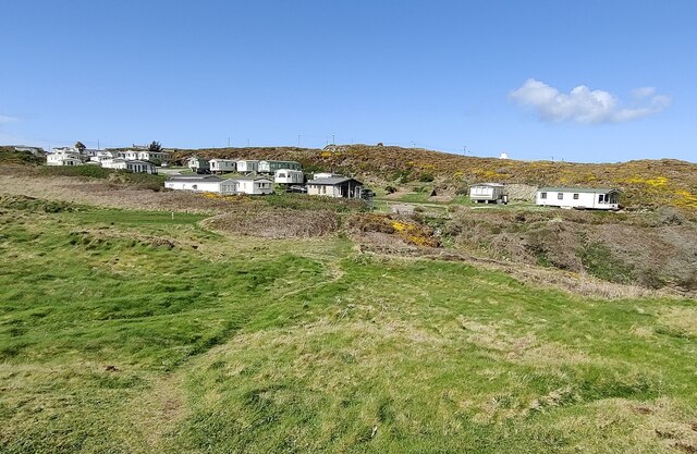
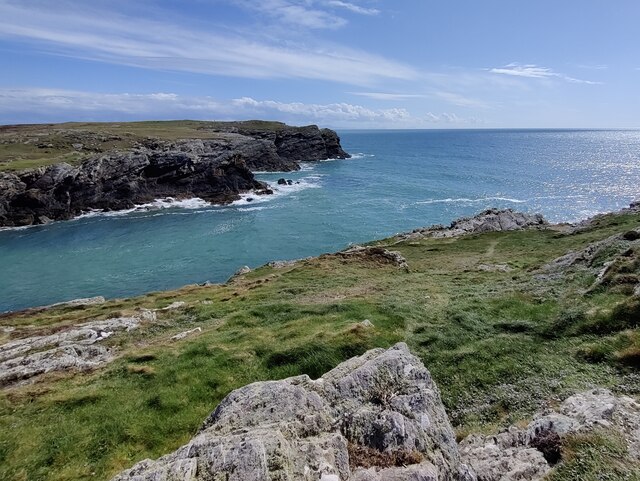
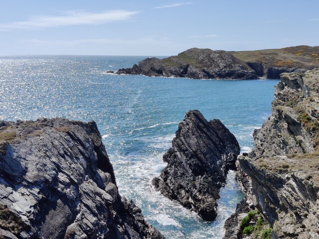
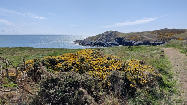
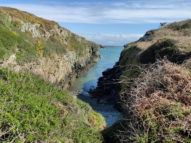
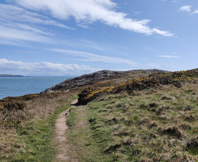
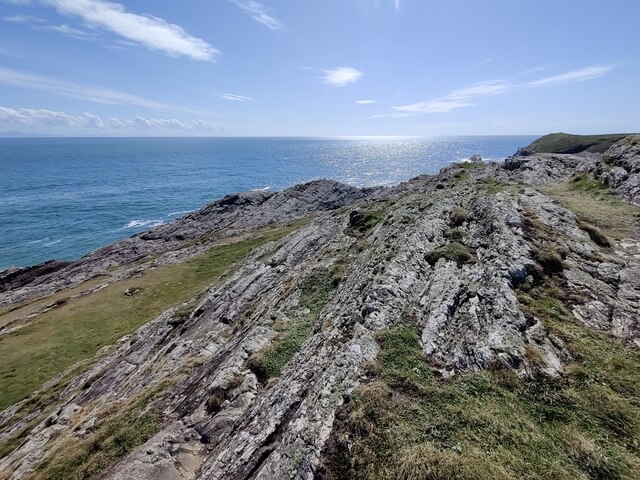
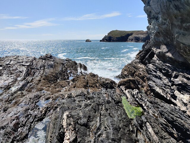
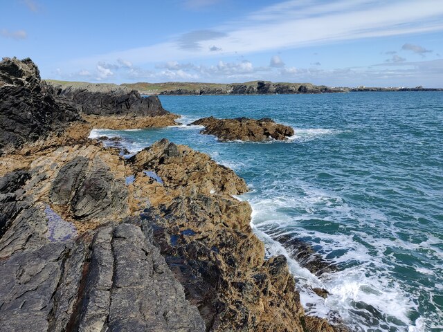
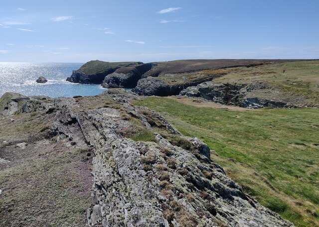
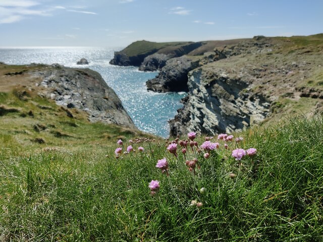
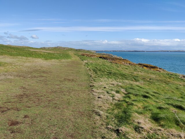
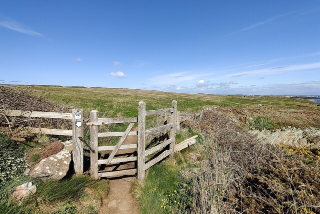
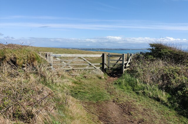
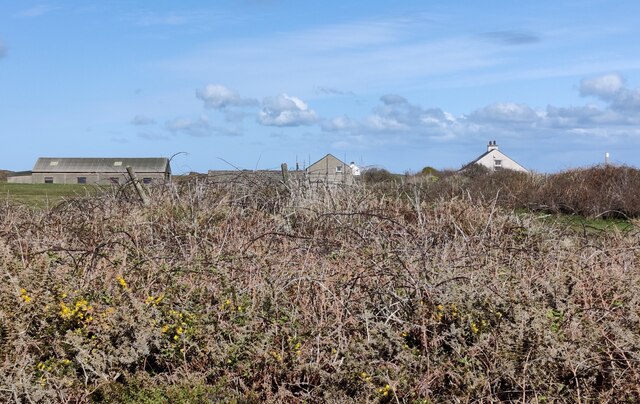
Porth Ruffydd, also known as Porth Ruffydd Bay, is a picturesque bay located on the southern coast of Anglesey, an island in North Wales. Situated near the village of Llanfairpwllgwyngyll, the bay offers stunning views of the surrounding landscape and is a popular spot for both locals and tourists.
The bay is characterized by its sandy beach, which extends for approximately 1.5 kilometers. It is an ideal location for those seeking relaxation and tranquility, with its calm waters and peaceful atmosphere. The beach is well-maintained, making it suitable for various activities such as swimming, sunbathing, and picnicking.
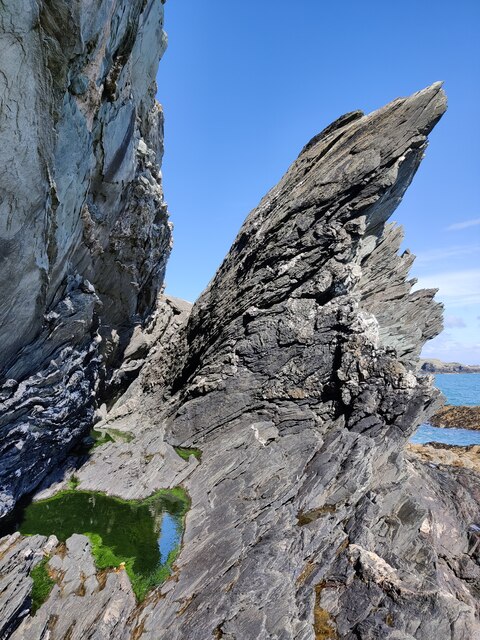
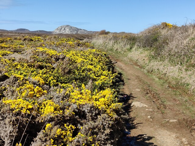
Porth Ruffydd Bay is also a haven for wildlife enthusiasts, as it is home to a diverse range of flora and fauna. The surrounding cliffs and dunes provide nesting sites for various bird species, including the rare chough. Seals can often be spotted basking on the rocks, adding to the bay's natural beauty.
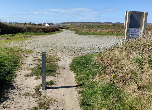
The bay is easily accessible, with a car park located nearby, allowing visitors to conveniently reach the beach. Facilities such as toilets and a café are available, ensuring that visitors have a comfortable experience.
Overall, Porth Ruffydd Bay offers a peaceful and beautiful coastal setting, making it a popular destination for those seeking relaxation and nature enthusiasts alike. Whether you are looking to unwind on the sandy beach or explore the diverse wildlife, this bay provides a delightful experience for all who visit.
If you have any feedback on the listing, please let us know in the comments section below.
Porth Ruffydd Images
Images are sourced within 2km of 53.284464/-4.6755163 or Grid Reference SH2179. Thanks to Geograph Open Source API. All images are credited.
Porth Ruffydd is located at Grid Ref: SH2179 (Lat: 53.284464, Lng: -4.6755163)
Unitary Authority: Isle of Anglesey
Police Authority: North Wales
What 3 Words
///culminate.keen.another. Near Holyhead, Isle of Anglesey
Nearby Locations
Related Wikis

Penrhosfeilw
Penrhosfeilw is a village in the community of Trearddur, Anglesey, Wales, which is 140.1 miles (225.4 km) from Cardiff and 227.5 miles (366.1 km) from...

Penrhos Feilw Standing Stones
The Penrhos Feilw Standing Stones are a pair of standing stones on Holy Island west of Anglesey in north-west Wales. They are thought to date from the...

Porth Dafarch
Porth Dafarch is a small bay on the west coast of Anglesey in North Wales. The inlet is on the west side of Holy Island, Anglesey about 2 mi (3.2 km) southwest...
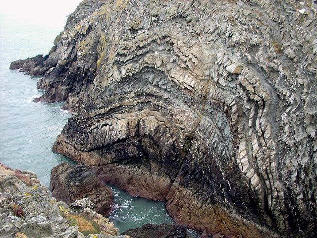
South Stack Formation
The South Stack Formation is a sequence of Cambro-Ordovician (Furongian to Tremadocian) metasedimentary rocks exposed in northwestern Anglesey, North Wales...
Holy Island Group
The Holy Island Group is a sequence of metasedimentary rocks of Cambro-Ordovician (Furongian to Tremadocian) age found in northern and western Anglesey...

Holyhead Mountain Hut Circles
The Holyhead Mountain Hut Circles named in Welsh: Tŷ Mawr / Cytiau'r Gwyddelod, literally meaning Big house or "Irishmen's Huts". are the remains of a...
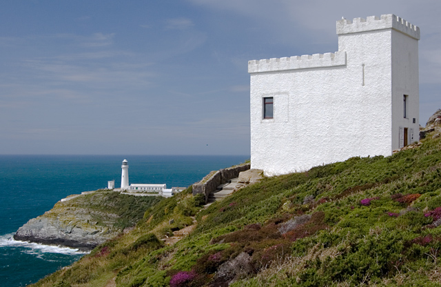
Elin's Tower
Elin's Tower (Welsh: Tŵr Elin) is a Victorian stone tower on Holy Island, located around 2+1⁄2 miles (4 km) west of Holyhead. The castellated folly, which...

Goferydd
Goferydd is an area in the community of Trearddur, Anglesey, Wales, which is 141.4 miles (227.5 km) from Cardiff and 228.9 miles (368.4 km) from London...
Nearby Amenities
Located within 500m of 53.284464,-4.6755163Have you been to Porth Ruffydd?
Leave your review of Porth Ruffydd below (or comments, questions and feedback).