Porth y Gwyddel
Bay in Anglesey
Wales
Porth y Gwyddel
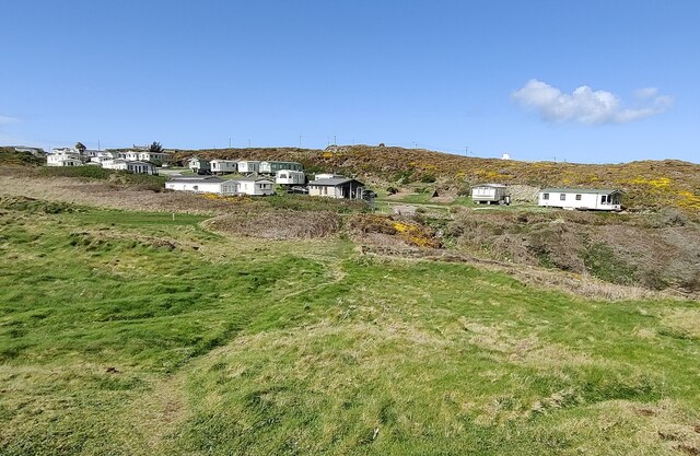
Porth y Gwyddel, also known as Gwyddel Bay, is a picturesque bay located on the northwestern coast of Anglesey, an island off the northwest coast of Wales, United Kingdom. The bay is situated between Rhoscolyn Head to the west and Borthwen Beach to the east.
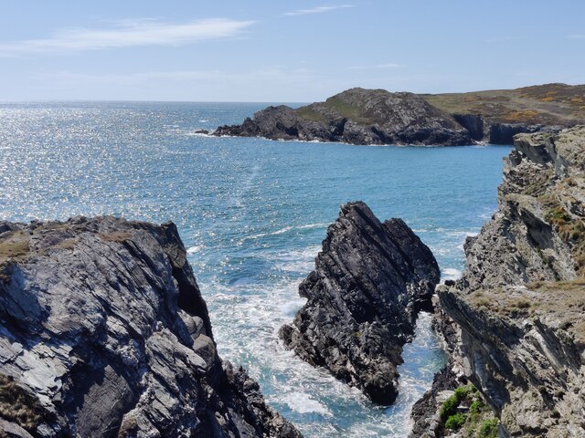
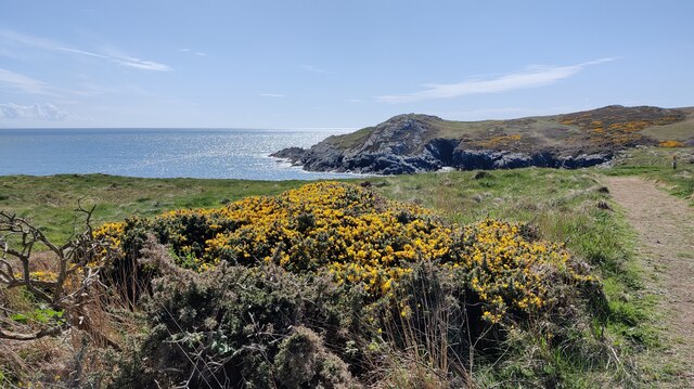
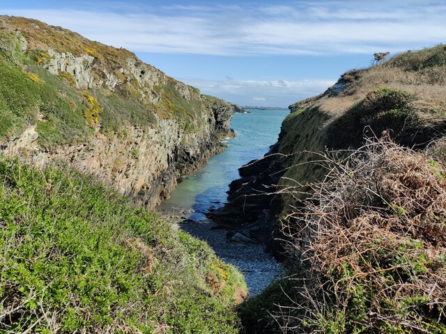
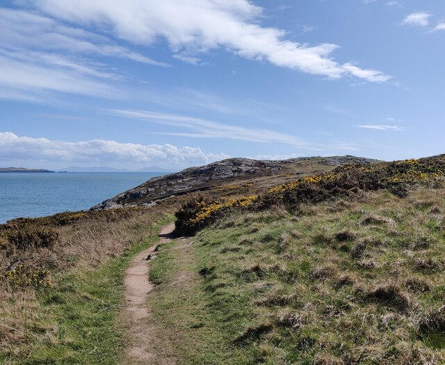
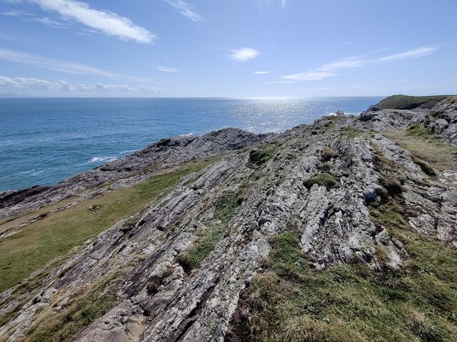
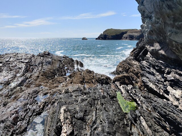
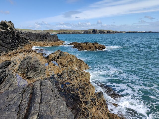
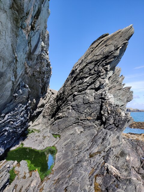
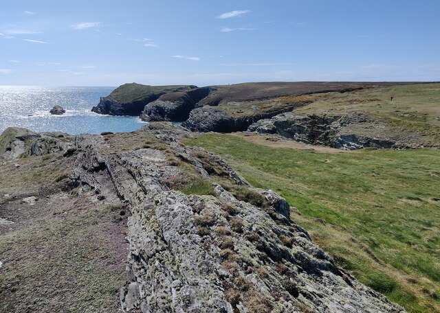
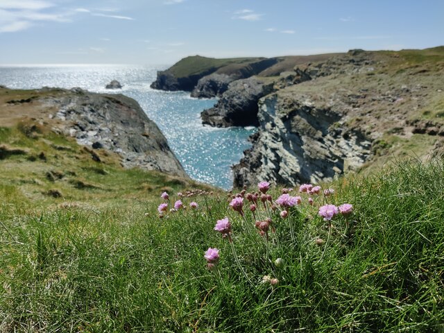
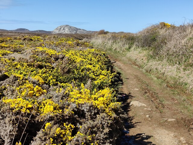
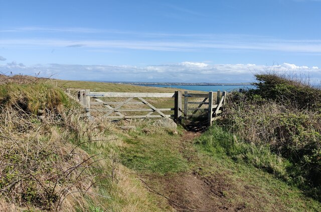
Porth y Gwyddel is known for its stunning natural beauty, with its pristine sandy beaches, crystal-clear turquoise waters, and dramatic rocky outcrops. The bay is surrounded by rolling hills and lush green countryside, providing a tranquil and idyllic setting for visitors to enjoy.
The bay is a popular destination for water sports enthusiasts, with activities such as swimming, snorkeling, and kayaking being enjoyed by many. The calm and sheltered waters of the bay make it an ideal spot for beginners and families.
The bay is also home to a diverse range of wildlife, including seabirds, seals, and occasionally dolphins and porpoises. Birdwatchers can often spot species such as oystercatchers, curlews, and cormorants along the shoreline.
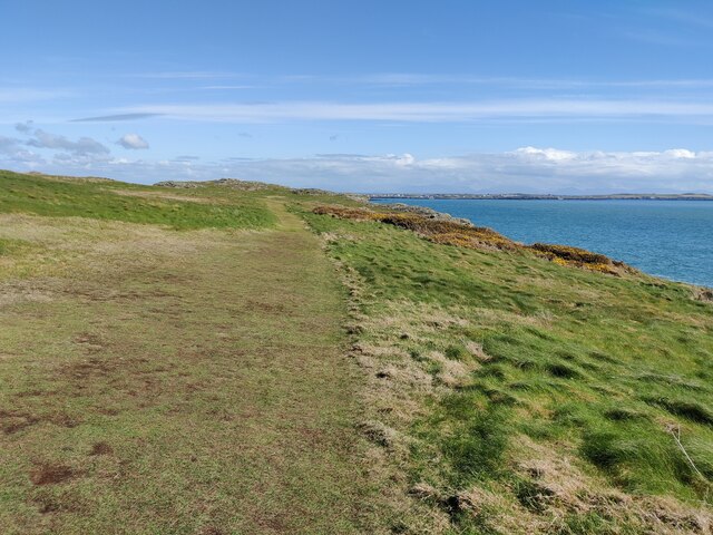
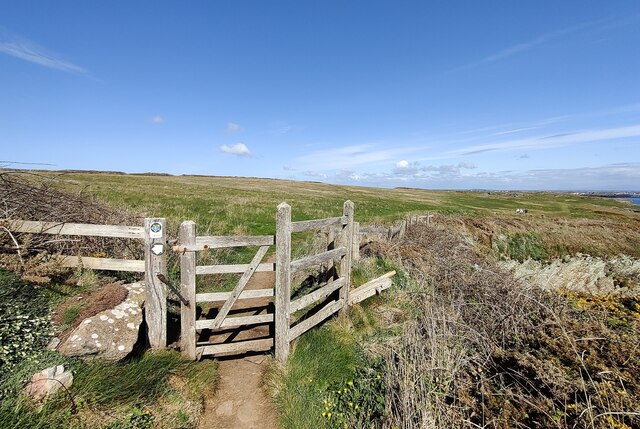
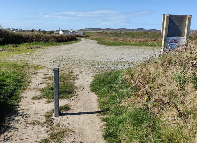
Access to Porth y Gwyddel is relatively easy, with a small car park available for visitors. There is also a public footpath that leads down to the bay, allowing for pleasant walks and hikes along the coastline.
Overall, Porth y Gwyddel is a hidden gem on the Anglesey coastline, offering visitors a peaceful and scenic retreat with its natural beauty, water sports opportunities, and abundant wildlife.
If you have any feedback on the listing, please let us know in the comments section below.
Porth y Gwyddel Images
Images are sourced within 2km of 53.293255/-4.6796676 or Grid Reference SH2180. Thanks to Geograph Open Source API. All images are credited.

Porth y Gwyddel is located at Grid Ref: SH2180 (Lat: 53.293255, Lng: -4.6796676)
Unitary Authority: Isle of Anglesey
Police Authority: North Wales
What 3 Words
///yummy.brilliant.quench. Near Holyhead, Isle of Anglesey
Nearby Locations
Related Wikis
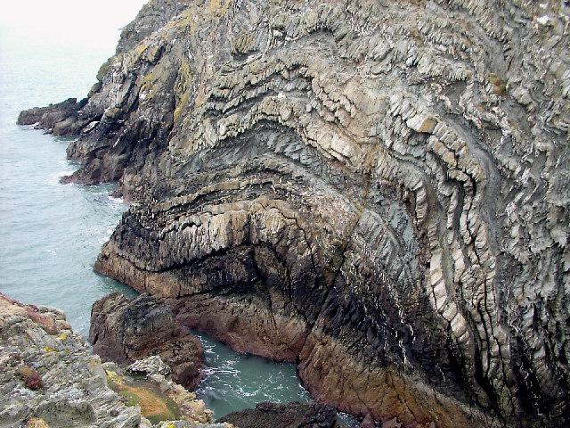
South Stack Formation
The South Stack Formation is a sequence of Cambro-Ordovician (Furongian to Tremadocian) metasedimentary rocks exposed in northwestern Anglesey, North Wales...

Penrhosfeilw
Penrhosfeilw is a village in the community of Trearddur, Anglesey, Wales, which is 140.1 miles (225.4 km) from Cardiff and 227.5 miles (366.1 km) from...
Holy Island Group
The Holy Island Group is a sequence of metasedimentary rocks of Cambro-Ordovician (Furongian to Tremadocian) age found in northern and western Anglesey...

Penrhos Feilw Standing Stones
The Penrhos Feilw Standing Stones are a pair of standing stones on Holy Island west of Anglesey in north-west Wales. They are thought to date from the...

Holyhead Mountain Hut Circles
The Holyhead Mountain Hut Circles named in Welsh: Tŷ Mawr / Cytiau'r Gwyddelod, literally meaning Big house or "Irishmen's Huts". are the remains of a...
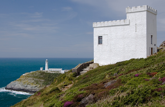
Elin's Tower
Elin's Tower (Welsh: Tŵr Elin) is a Victorian stone tower on Holy Island, located around 2+1⁄2 miles (4 km) west of Holyhead. The castellated folly, which...

Goferydd
Goferydd is an area in the community of Trearddur, Anglesey, Wales, which is 141.4 miles (227.5 km) from Cardiff and 228.9 miles (368.4 km) from London...

South Stack
South Stack (Welsh: Ynys Lawd) is an island situated just off Holy Island on the northwest coast of Anglesey, Wales. == Geology == South Stack is an island...
Nearby Amenities
Located within 500m of 53.293255,-4.6796676Have you been to Porth y Gwyddel?
Leave your review of Porth y Gwyddel below (or comments, questions and feedback).