Lady's Bay
Bay in Buteshire
Scotland
Lady's Bay
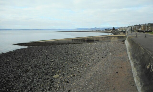
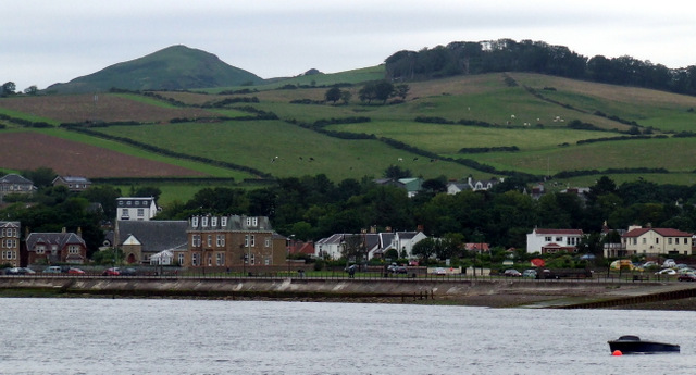
Lady's Bay is a picturesque bay located in Buteshire, Scotland. Nestled on the west coast of the Isle of Bute, it is renowned for its stunning natural beauty and tranquil surroundings. The bay stretches over a mile long and is bordered by rocky cliffs, providing a dramatic backdrop to the crystal-clear waters.
The bay is named after the Lady of the Isles, a title given to the wife of the Lord of the Isles, who was the ruler of the Hebrides and part of the west coast of Scotland during the medieval period. Lady's Bay has gained popularity among locals and tourists alike due to its unspoiled and secluded atmosphere.
The bay offers a range of recreational activities for visitors to enjoy. The sandy beach, particularly during low tide, is perfect for leisurely walks, picnics, and sunbathing. Its calm waters also make it an ideal spot for swimming and paddleboarding. The bay is also a popular destination for wildlife enthusiasts, as it is home to a diverse array of bird species and marine life.
For those seeking a more active experience, Lady's Bay provides opportunities for coastal hikes along the surrounding cliffs, offering breathtaking views of the bay and its surroundings. Additionally, the bay is a favored spot for fishing, with anglers often trying their luck from the shoreline or by boat.
Overall, Lady's Bay in Buteshire is a hidden gem offering a serene and picturesque coastal experience, making it a must-visit destination for nature lovers and those seeking a peaceful retreat.
If you have any feedback on the listing, please let us know in the comments section below.
Lady's Bay Images
Images are sourced within 2km of 55.790413/-4.8978825 or Grid Reference NS1859. Thanks to Geograph Open Source API. All images are credited.


Lady's Bay is located at Grid Ref: NS1859 (Lat: 55.790413, Lng: -4.8978825)
Unitary Authority: North Ayrshire
Police Authority: Ayrshire
What 3 Words
///airbrush.mainframe.dispose. Near Largs, North Ayrshire
Nearby Locations
Related Wikis

Clark Memorial Church
The Clark Memorial Church is an active place of worship for the Church of Scotland in Largs, North Ayrshire, Scotland. It was designed by William Kerr...

Largs
Largs (Scottish Gaelic: An Leargaidh Ghallda) is a town on the Firth of Clyde in North Ayrshire, Scotland, about 33 mi (53 km) from Glasgow. The original...

Brisbane Aisle
The Brisbane Aisle (NS 220247, 659447) is a small 17th century free-standing burial vault, built for the Shaws of Kelsoland (aka Brisbane) and situated...

Battle of Largs
The Battle of Largs (2 October 1263) was a battle between the kingdoms of Norway and Scotland, on the Firth of Clyde near Largs, Scotland. The conflict...
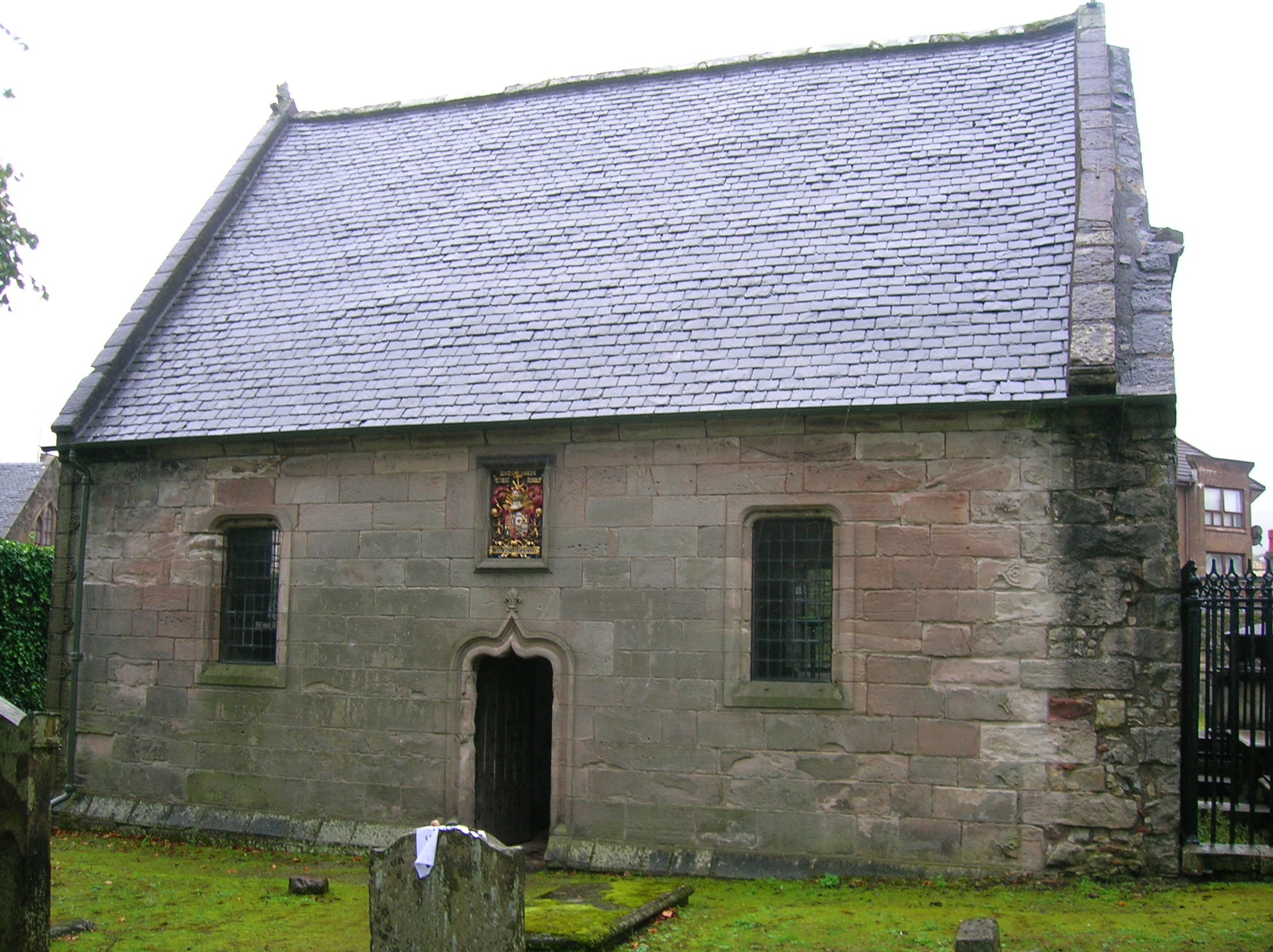
Skelmorlie Aisle
The Skelmorlie Aisle of Largs Old Kirk is the remains of a church in the town of Largs, Ayrshire, Scotland. == History == The majority of the kirk (church...
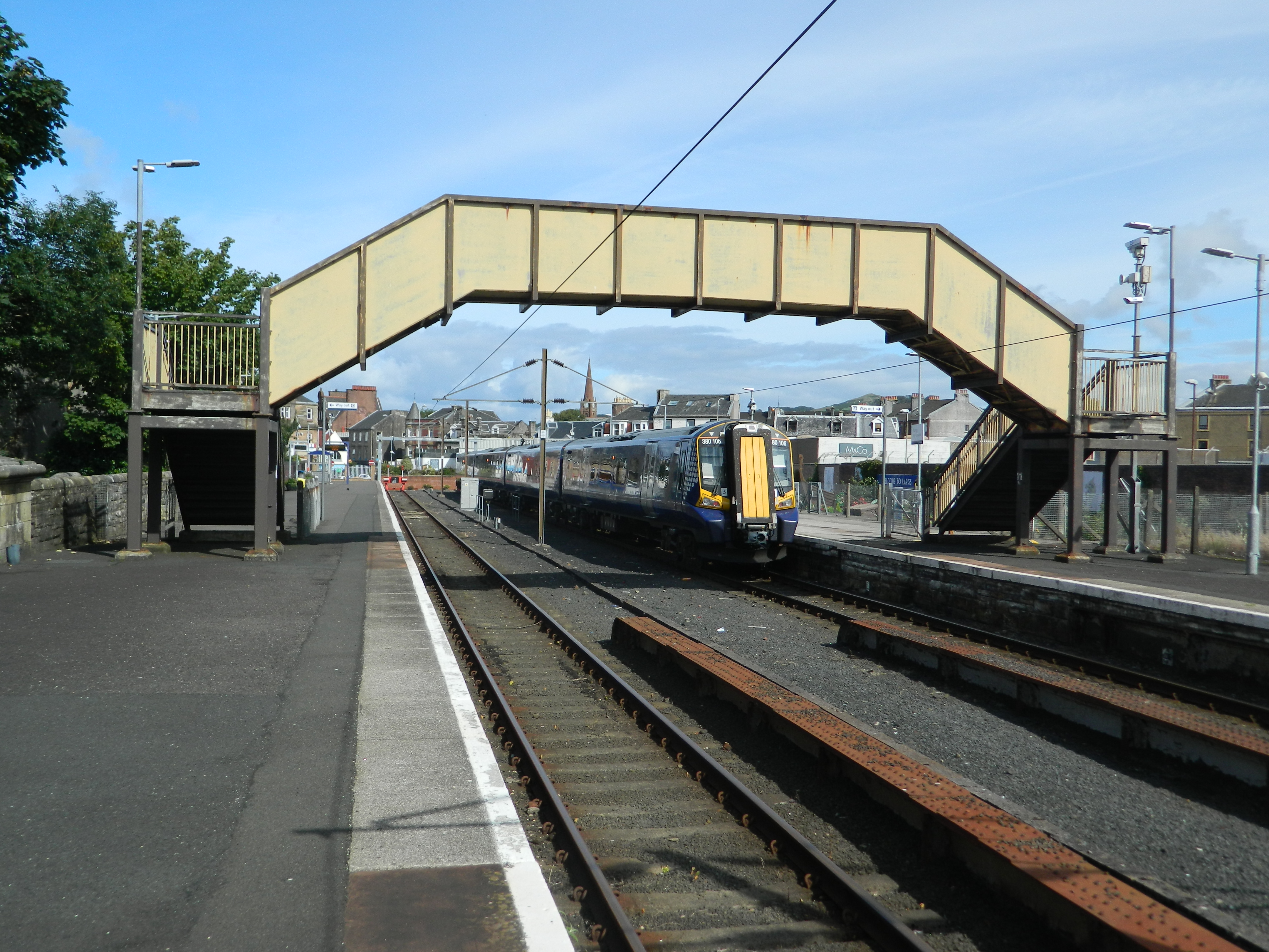
Largs railway station
Largs railway station is a railway station in the town of Largs, North Ayrshire, Scotland. The station is managed by ScotRail and is owned by Network Rail...

Brooksby House Hospital
Brooksby House Hospital is a community hospital in the North Ayrshire region in Scotland. It is managed by NHS Ayrshire and Arran. It is a Category A listed...

Barrfields Pavilion
The Barrfields Pavilion Theatre (Barrfields Theatre, Barrfields Pavilion Theatre) is a 500-seat theatre at Barrfields, Largs, North Ayrshire. == Background... ==
Nearby Amenities
Located within 500m of 55.790413,-4.8978825Have you been to Lady's Bay?
Leave your review of Lady's Bay below (or comments, questions and feedback).