Camas Cuilce
Bay in Sutherland
Scotland
Camas Cuilce

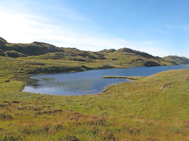
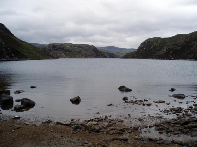
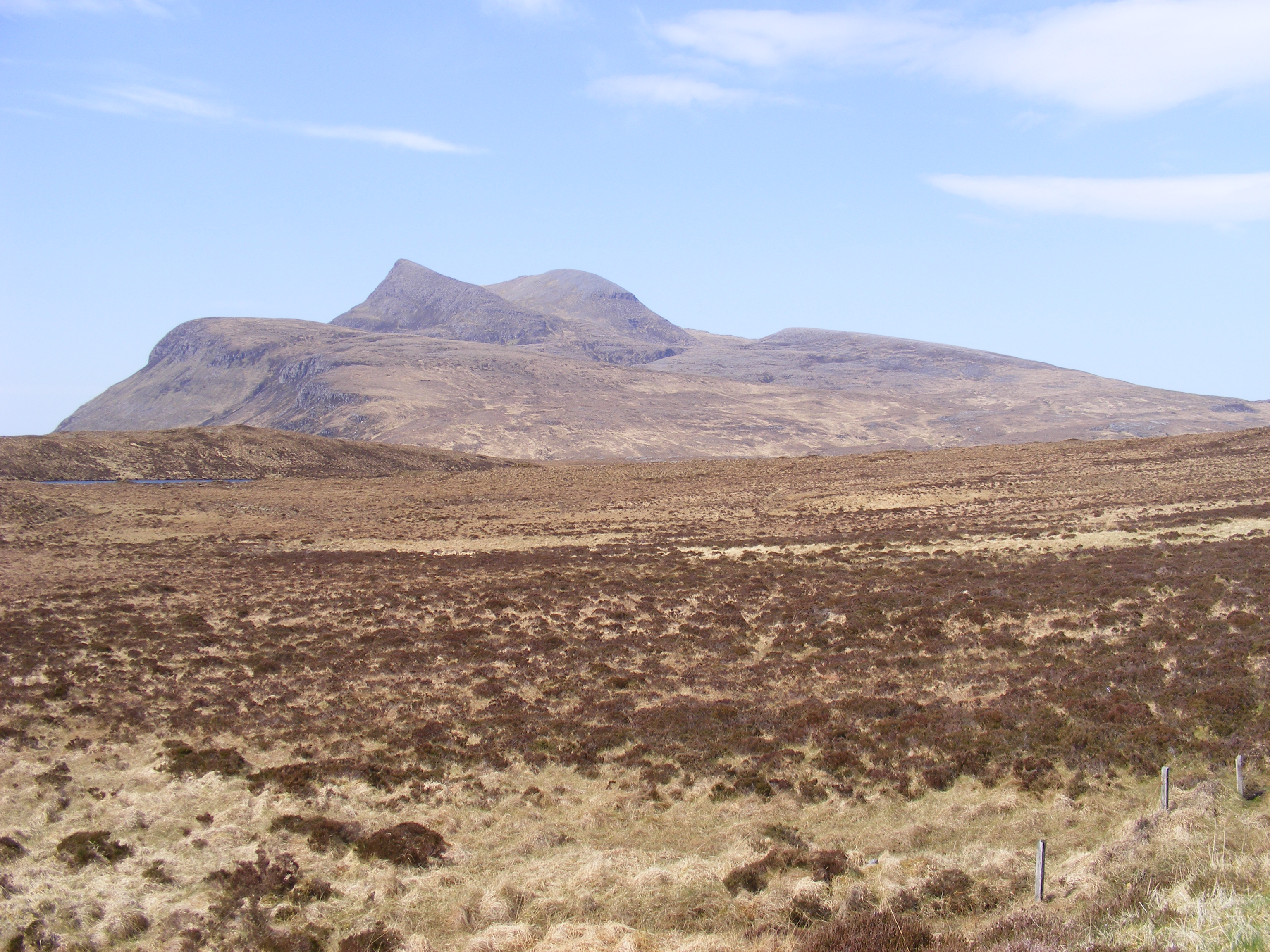
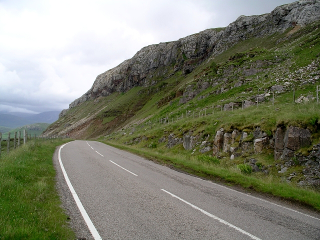
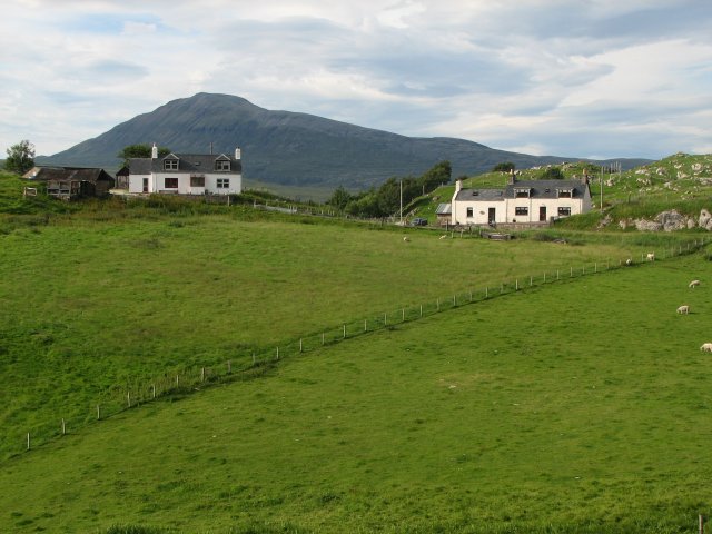
Camas Cuilce, also known as Sutherland Bay, is a picturesque coastal area located in the Scottish Highlands, specifically in the county of Sutherland. Situated on the northwestern coast of Scotland, Camas Cuilce offers breathtaking views of the North Atlantic Ocean and is renowned for its natural beauty.
The bay is characterized by its pristine sandy beaches, crystal-clear turquoise waters, and rugged cliffs that surround the area. It is a popular destination for nature lovers, photographers, and outdoor enthusiasts seeking tranquility and stunning landscapes. The bay is also home to a variety of wildlife, including seabirds, seals, and occasionally dolphins, making it a haven for birdwatchers and marine life enthusiasts.
Camas Cuilce provides visitors with opportunities for various outdoor activities. The bay is ideal for beachcombing, swimming, and sunbathing during the summer months. It also offers fantastic hiking trails along the cliffs, allowing visitors to experience breathtaking views of the sea and the surrounding coastal scenery. The area is also known for its excellent fishing spots, attracting anglers from far and wide.
In addition to its natural beauty, Camas Cuilce boasts a rich history. The bay is dotted with remnants of ancient settlements and historical landmarks, such as the ruins of the nearby Ardvreck Castle. These historical sites offer a glimpse into the region's past and provide visitors with a unique cultural experience.
Overall, Camas Cuilce, Sutherland Bay, is a hidden gem on Scotland's northwestern coast that showcases the country's natural beauty and rich history. It is a must-visit destination for those seeking a peaceful retreat in a stunning coastal setting.
If you have any feedback on the listing, please let us know in the comments section below.
Camas Cuilce Images
Images are sourced within 2km of 58.080536/-5.0946608 or Grid Reference NC1714. Thanks to Geograph Open Source API. All images are credited.


Camas Cuilce is located at Grid Ref: NC1714 (Lat: 58.080536, Lng: -5.0946608)
Unitary Authority: Highland
Police Authority: Highlands and Islands
What 3 Words
///streamers.preoccupied.monks. Near Inchnadamph, Highland
Nearby Locations
Related Wikis

Loch Veyatie
Loch Veyatie (Scottish Gaelic: Loch Mheathadaidh) is a large freshwater loch in north-west Scotland. It stretches for 6 km north-westwards from the settlement...
Loch a' Mhadail
Loch a' Mhadail or Loch a' Mhiotailt is a small freshwater lochan that lies immediately to the south-west of Loch Veyatie and is connected by a channel...
Cùl Mòr
Cùl Mòr is a shapely, twin summited mountain in the far north west of Scotland whose higher summit is the highest point of Inverpolly. It is almost completely...

Cam Loch, Sutherland
Cam Loch (the crooked loch) is an irregularly-shaped freshwater loch, about 5 km long, on a north-west to south-east orientation, located slightly north...

Suilven
Suilven (Scottish Gaelic: Sùilebheinn) is a mountain in Scotland. Lying in a remote area in the west of Sutherland, it rises from a wilderness landscape...
North West Highlands Geopark
The North West Highlands Geopark is a geopark in the Scottish Highlands. Awarded UNESCO geopark status in 2004, it was Scotland's first geopark, featuring...
Elphin, Highland
Elphin (Scottish Gaelic: Ailbhinn, which possibly derives from a combination of Norse and Gaelic fjell, "cliff" or "rock", and fionn, "bright") is a crofting...

Knockan Crag
Knockan Crag (Scottish Gaelic: Creag a' Chnocain, "crag of the small hill") lies within the North West Highlands Geopark in the Assynt region of Scotland...
Have you been to Camas Cuilce?
Leave your review of Camas Cuilce below (or comments, questions and feedback).