Little Tey

Settlement in Essex Colchester

England

Little Tey

Feering: Elm Lane
Feering: Elm Lane Credit: Michael Garlick

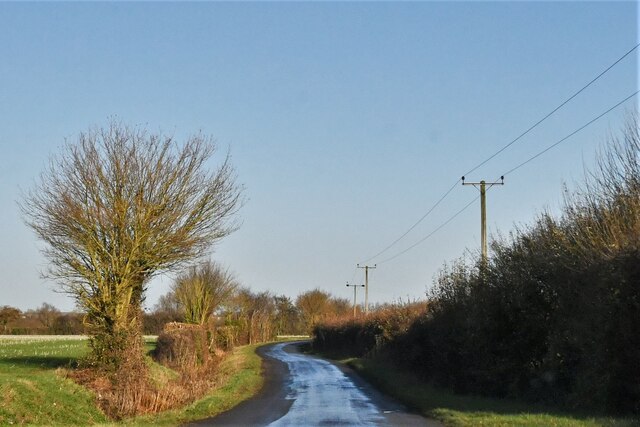
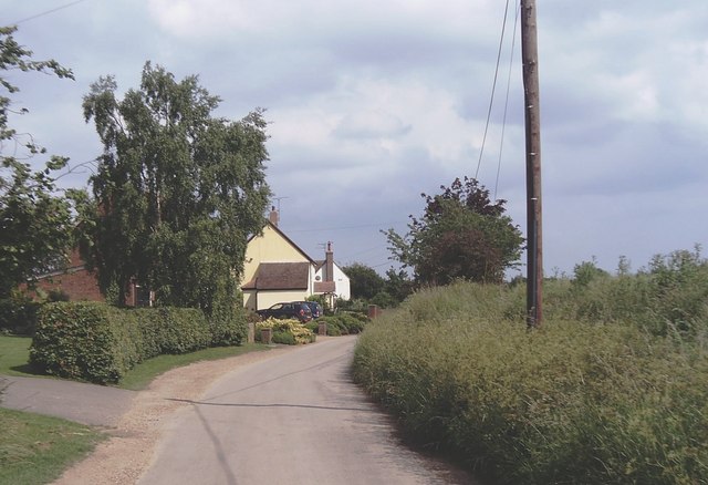
Little Tey is a village located in the county of Essex, in the eastern part of England. It lies approximately five miles southwest of Colchester, the largest town in the region. The village is situated in a rural area, surrounded by picturesque countryside and farmland.

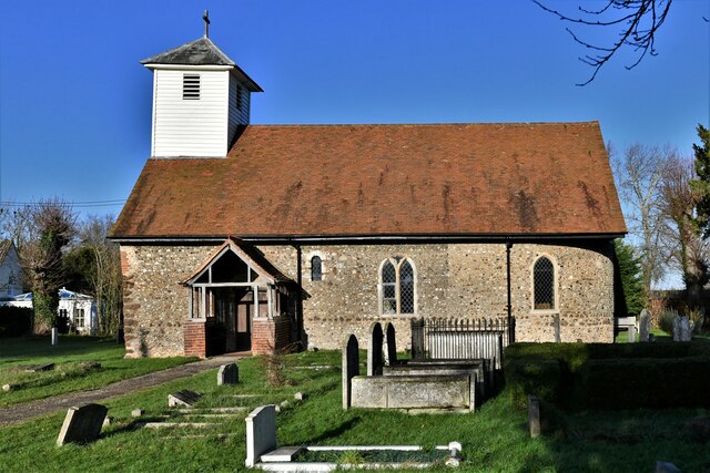
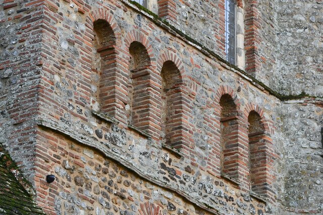
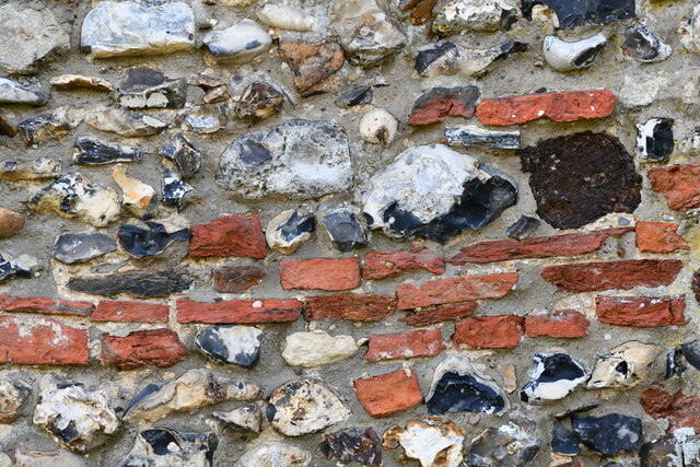
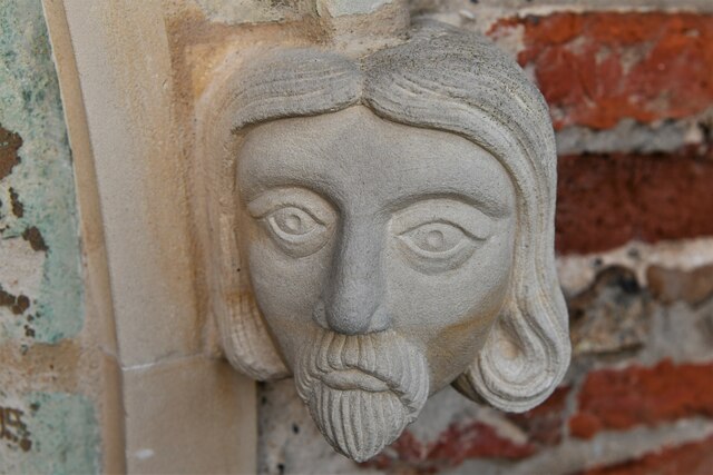
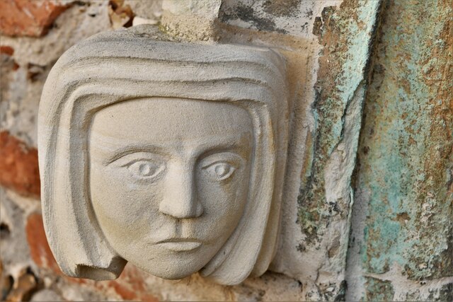
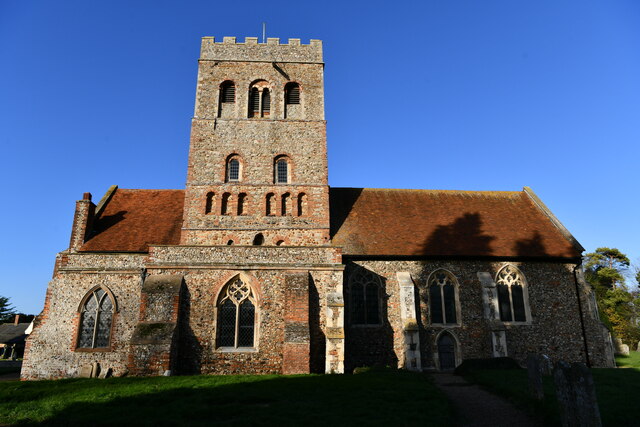
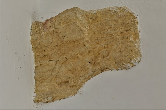
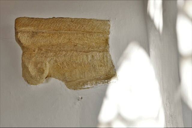
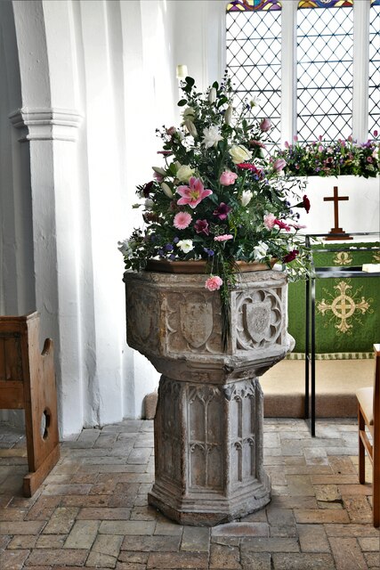
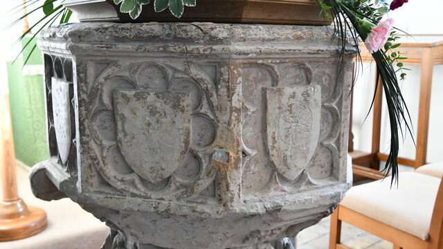
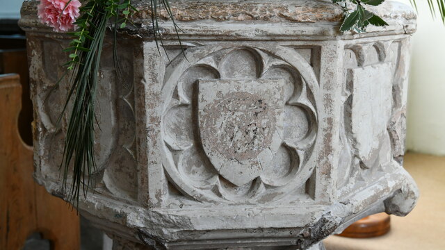
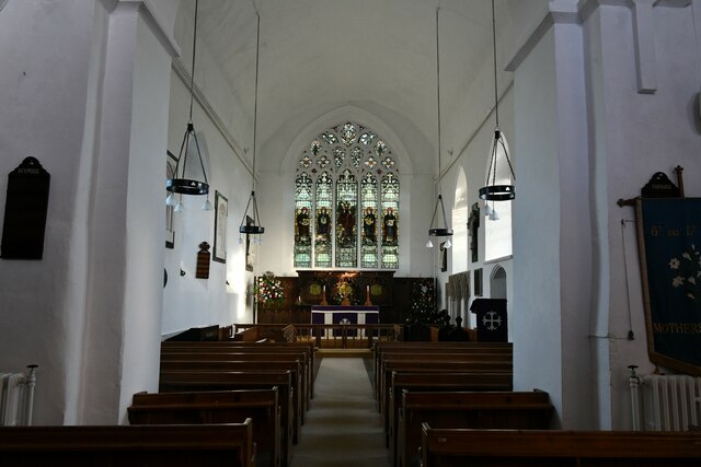
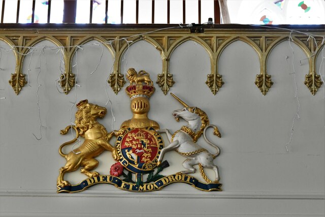
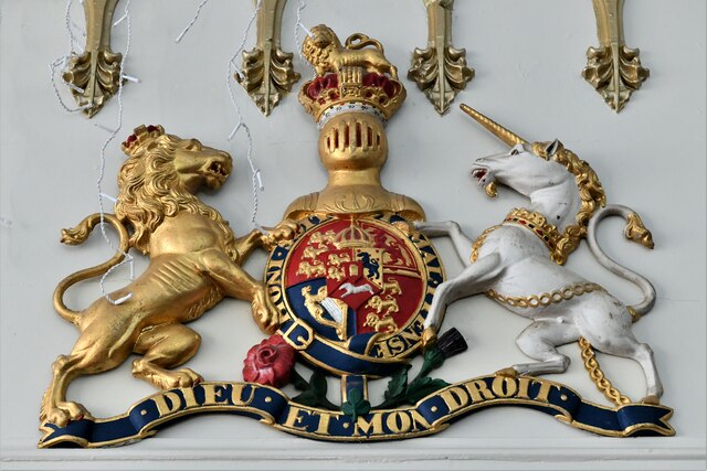
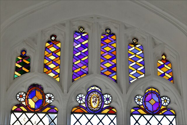
Little Tey is a small and close-knit community with a population of around 400 residents. It has a charming and traditional character, with many historic buildings and cottages lining its streets. The village church, St. James the Less, is a notable landmark and dates back to the 12th century.

Despite its small size, Little Tey has a strong sense of community spirit. The village organizes various social events and activities throughout the year, including a summer fete and a Christmas market. These events bring residents together and contribute to the friendly and welcoming atmosphere of the village.

The surrounding countryside offers plenty of opportunities for outdoor activities and exploration. There are several footpaths and trails that lead from the village, providing scenic walks and cycling routes. The nearby Roman River offers fishing and boating opportunities for those seeking water-based activities.

Little Tey benefits from its proximity to Colchester, which provides access to a wide range of amenities and services, including shopping centers, schools, and healthcare facilities. The village also has good transportation links, with regular bus services connecting it to Colchester and other nearby towns.

Overall, Little Tey offers a peaceful and idyllic setting, perfect for those seeking a quiet village lifestyle while still having access to the amenities of a larger town.

If you have any feedback on the listing, please let us know in the comments section below.

Little Tey Images

Images are sourced within 2km of 51.880578/0.748791 or Grid Reference TL8923. Thanks to Geograph Open Source API. All images are credited.

Feering: Elm Lane
Feering: Elm Lane
Little Tey, St. James' Church: Southern aspect
Great Tey, St. Barnabas Church: North eastern aspect
Great Tey, St. Barnabas Church: Reused Roman bricks and tiles in the Norman tower
Great Tey, St. Barnabas Church: Reused Roman bricks and tiles in the west wall
Great Tey, St. Barnabas Church: Modern recarved head stop on a south doorway 1
Great Tey, St. Barnabas Church: Modern recarved head stop on a south doorway 2
Great Tey, St. Barnabas Church: Southern aspect
Great Tey, St. Barnabas Church: Filled in capital of a nave arcade Norman arch 1
Great Tey, St. Barnabas Church: Filled in capital of a nave arcade Norman arch 2
Great Tey, St. Barnabas Church: Early c15th octagonal font 1
Great Tey, St. Barnabas Church: Early c15th octagonal font 2
Great Tey, St. Barnabas Church: Early c15th octagonal font 3
Great Tey, St. Barnabas Church: The c14th Decorated period chancel
Great Tey, St. Barnabas Church: Iron set of Royal Arms below the western gallery The Arms date from 1829.
Great Tey, St. Barnabas Church: Iron set of Royal Arms below the western gallery
The Arms date from 1829.
Great Tey, St. Barnabas Church: Iron set of Royal Arms dating from 1829
Great Tey, St. Barnabas Church: Fragments of ancient Continental Glass in an east window
Show me another place!

Little Tey is located at Grid Ref: TL8923 (Lat: 51.880578, Lng: 0.748791)

Administrative County: Essex

District: Colchester

Police Authority: Essex

What 3 Words

///tablets.hedgehog.wanting. Near Marks Tey, Essex

Related Wikis

Little Tey

Little Tey is a village in the City of Colchester district of Essex, England, located approximately six miles west of Colchester. It is in the civil parish...

Marks Tey

Marks Tey is a large village and electoral ward in Essex, England; it is located six miles west of Colchester. == Facilities == Marks Tey is one of a...

Marks Tey Brickpit

Marks Tey Brickpit is a 29.5-hectare (73-acre) geological Site of Special Scientific Interest in Marks Tey in Essex. It is a Geological Conservation Review...

St Andrew's Church, Marks Tey

St Andrew's Church is a Church of England parish church in the Essex village of Marks Tey. It was Grade I listed in 1965.Its nave was built around 1100...

Great Tey

Great Tey is a village and civil parish in the City of Colchester district of Essex, England. It is near the villages of Marks Tey and Little Tey, located...

East Gores

East Gores is a hamlet in the Colchester district, in the English county of Essex. It is near the A120 road. == References == http://www.a-zmaps.co.uk/...

Marks Tey railway station

Marks Tey railway station is on the Great Eastern Main Line (GEML) in the East of England, serving the large village of Marks Tey, Essex. It is 46 miles...

Surrex

Surrex is a hamlet in the civil parish of Coggeshall, and the Braintree district of Essex, England. The hamlet is at the junction of the A120 road and...

Nearby Amenities

Located within 500m of 51.880578,0.748791
Bus Stop
Godbolt's Farm
Bus: yes
Naptan AtcoCode: 1500IM1374
Naptan Bearing: W
Naptan BusStopType: CUS
Naptan CommonName: Godbolt's Farm
Naptan Indicator: Opp
Naptan Landmark: Godbolt's Farm
Naptan NaptanCode: esxgmjdw
Naptan Street: Coggeshall Road
Naptan Verified: no
Public Transport: platform
Source: naptan_import
Lat/Long: 51.8768291/0.7504984
Bus Stop
Godbolt's Farm
Bench: no
Bin: no
Bus: yes
Lit: no
Naptan AtcoCode: 1500IM1374B
Naptan Bearing: E
Naptan BusStopType: CUS
Naptan CommonName: Godbolt's Farm
Naptan Indicator: o/s
Naptan Landmark: Godbolt's Farm
Naptan NaptanCode: esxdadgd
Naptan Street: Coggeshall Road
Naptan Verified: no
Public Transport: platform
Shelter: no
Source: naptan_import
Tactile Paving: no
Lat/Long: 51.8768989/0.7498198
Little Tey
Place: hamlet
Wikidata: Q1853230
Lat/Long: 51.8794602/0.7472808
Power: pole
Source: bing
Lat/Long: 51.8839444/0.7440945
Parking
Lat/Long: 51.8765673/0.7465687
Crossing
Lat/Long: 51.8769232/0.7513594
Generator Method: photovoltaic
Generator Output Electricity: yes
Generator Source: solar
Generator Type: solar_photovoltaic_panel
Location: roof
Power: generator
Lat/Long: 51.8804095/0.7462764
Generator Method: photovoltaic
Generator Output Electricity: yes
Generator Source: solar
Generator Type: solar_photovoltaic_panel
Location: roof
Power: generator
Lat/Long: 51.8804649/0.7463019
Generator Method: photovoltaic
Generator Output Electricity: yes
Generator Source: solar
Generator Type: solar_photovoltaic_panel
Location: roof
Power: generator
Lat/Long: 51.8782809/0.74644
The data included in this document is from www.openstreetmap.org. The data is made available under ODbL.

Have you been to Little Tey?

Leave your review of Little Tey below (or comments, questions and feedback).