An Acairseid

Bay in Ross-shire

Scotland

An Acairseid

Loch Broom Looking across Loch Broom to Leckmelm from Rhiroy
Loch Broom Credit: valenta

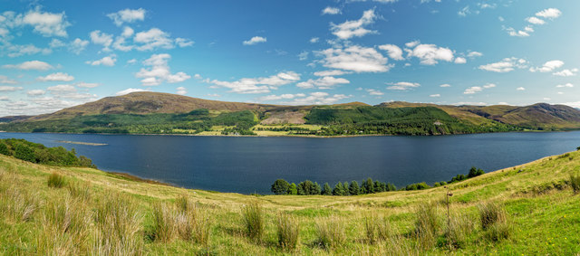
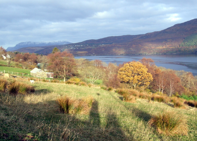
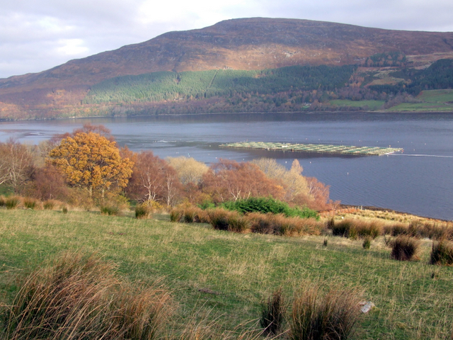
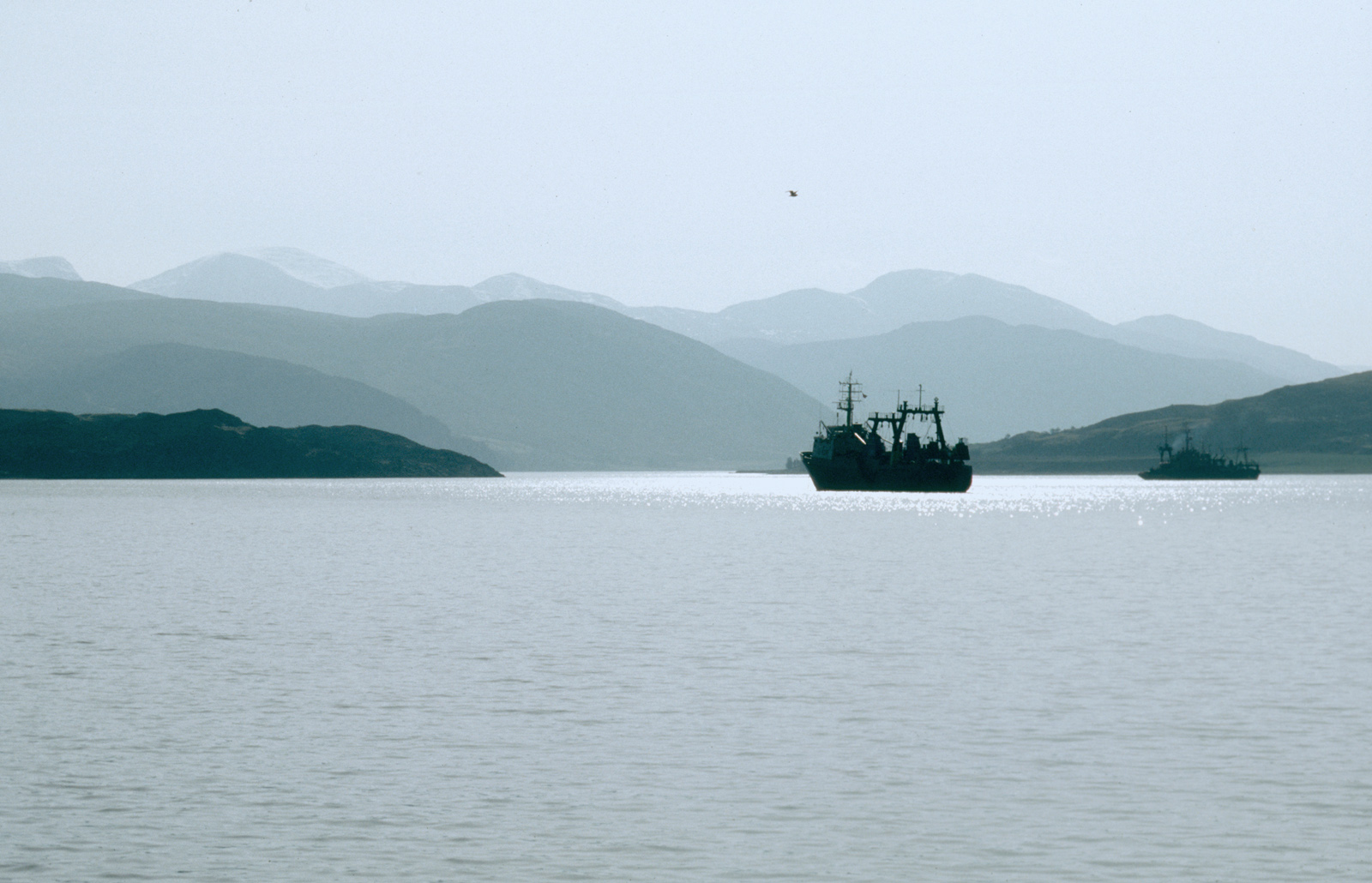
An Acairseid, located in Ross-shire, is a picturesque bay situated on the northwest coast of Scotland. With its stunning natural beauty and tranquil atmosphere, it is a popular destination for nature enthusiasts and outdoor adventurers alike.

The bay is known for its pristine sandy beaches, crystal-clear turquoise waters, and rugged cliffs that offer breathtaking panoramic views. It is also home to an abundance of marine life, making it a haven for birdwatching and wildlife spotting. Visitors may catch a glimpse of seals, dolphins, and various seabird species, adding to the charm of this coastal gem.

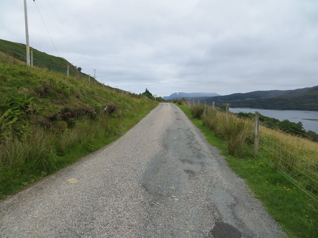
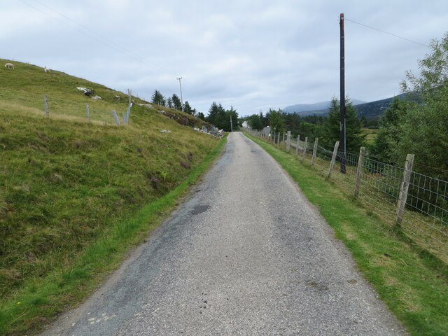
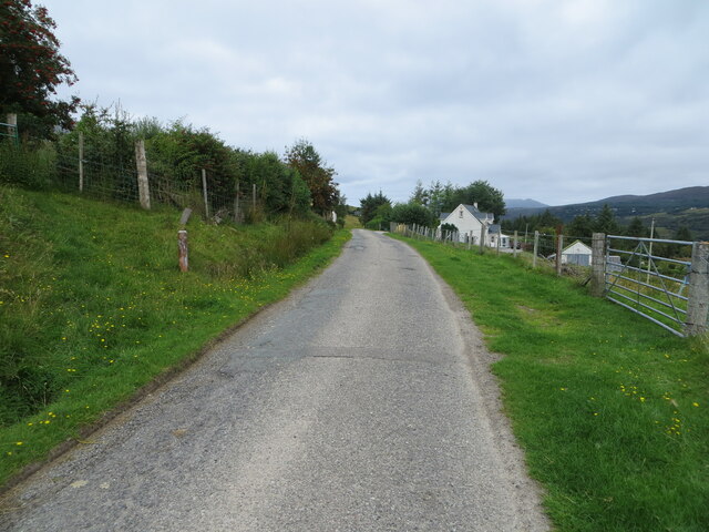
The surrounding area boasts a diverse range of flora and fauna, with heather-clad hills and lush green meadows. Walking trails and hiking paths crisscross the landscape, inviting visitors to explore the natural wonders of the region. Additionally, the bay provides opportunities for water sports such as kayaking, paddleboarding, and sailing, further enhancing the outdoor experience.

An Acairseid is not only renowned for its natural beauty but also its rich history. The bay is dotted with ancient ruins and archaeological sites, offering a glimpse into the area's past. Visitors can explore the remnants of old castles and fortresses, immersing themselves in the historical significance of the region.

Whether it's for a leisurely beach day, an adventurous hike, or a peaceful retreat, An Acairseid in Ross-shire is a hidden gem that promises an unforgettable experience in the heart of Scotland's stunning coastline.

If you have any feedback on the listing, please let us know in the comments section below.
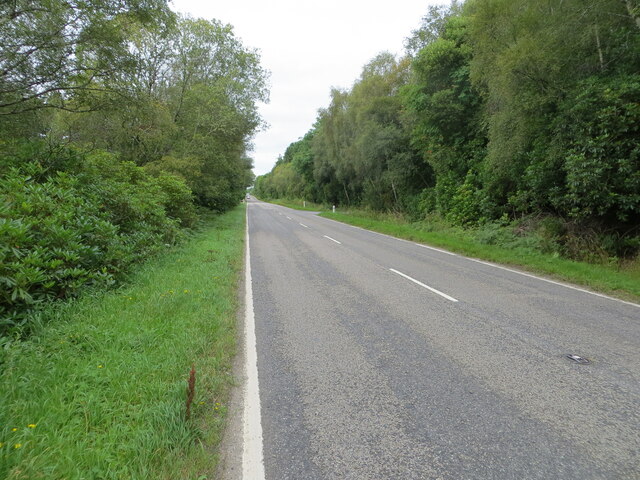
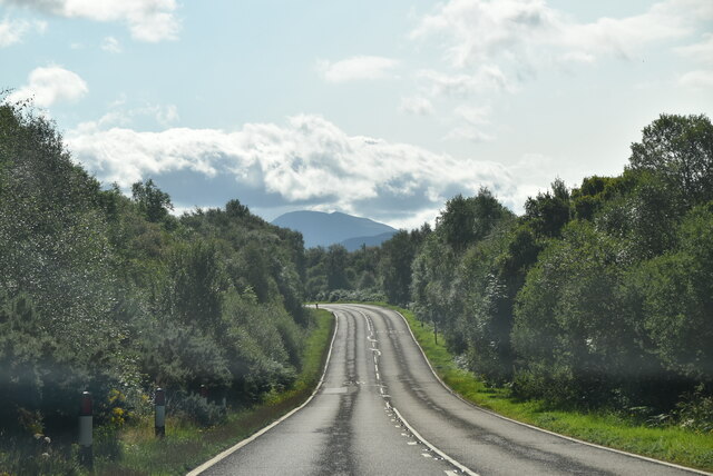
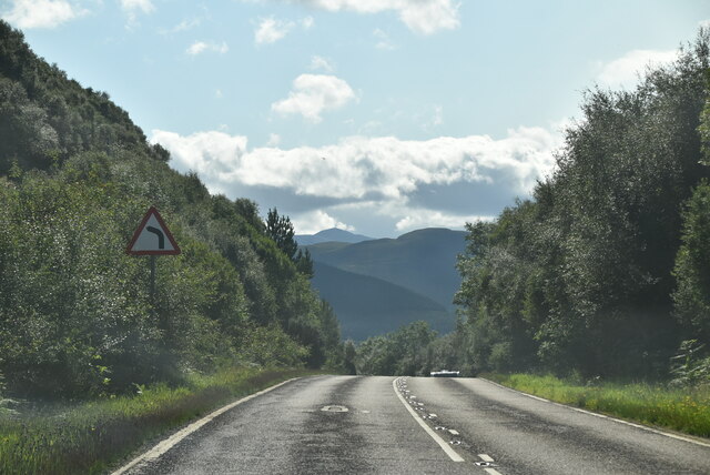
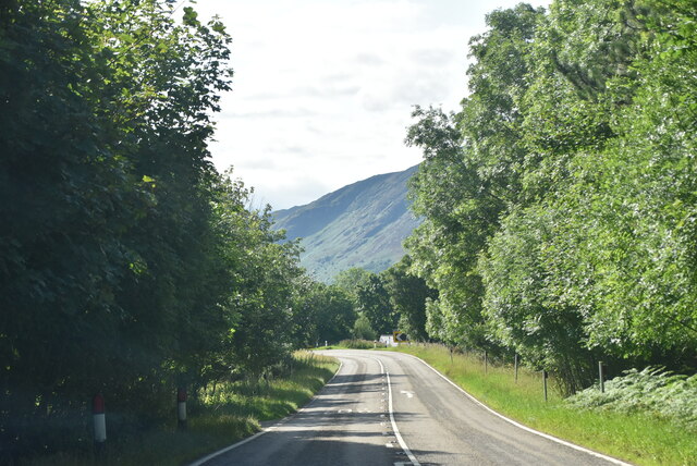
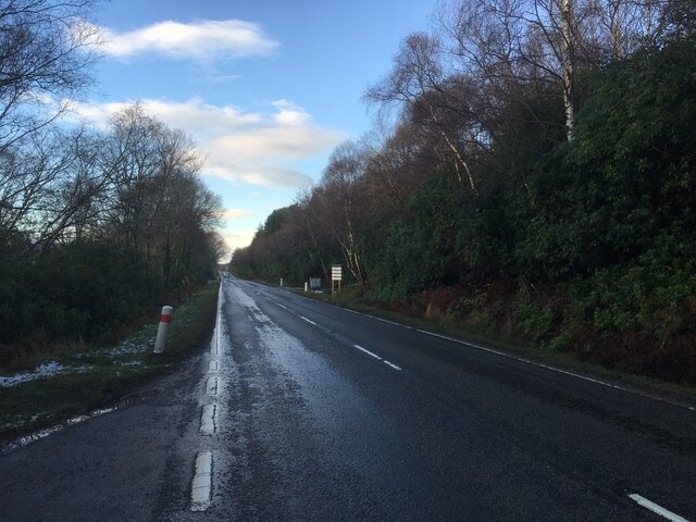
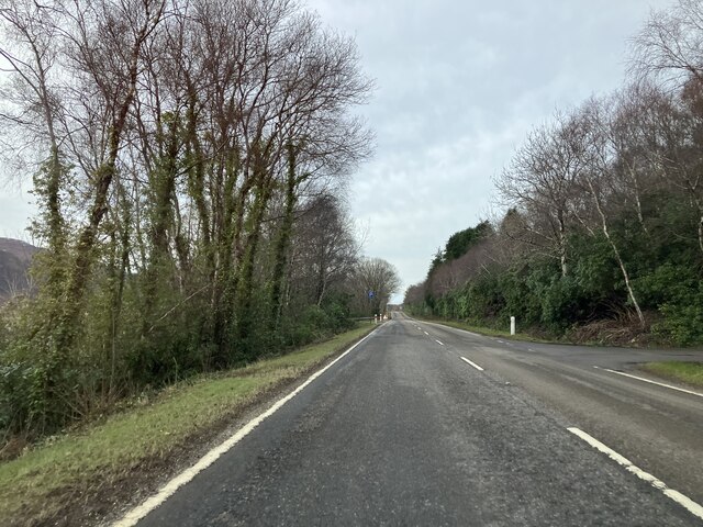
An Acairseid Images

Images are sourced within 2km of 57.872602/-5.1260598 or Grid Reference NH1491. Thanks to Geograph Open Source API. All images are credited.

Loch Broom Looking across Loch Broom to Leckmelm from Rhiroy
Loch Broom
Looking across Loch Broom to Leckmelm from Rhiroy
Minor road along the south-western shore of Loch Broom Looking north-westward towards Rhiroy.
Minor road along the south-western shore of Loch Broom
Looking north-westward towards Rhiroy.
Minor road between Rhiroy and Loggie Looking north-westward.
Minor road between Rhiroy and Loggie
Looking north-westward.
Minor road at Loggie Looking north-westward.
Minor road at Loggie
Looking north-westward.
Road (A835) beside Leckmelm Wood Looking north-westward in the direction of Ullapool.
Road (A835) beside Leckmelm Wood
Looking north-westward in the direction of Ullapool.
Old Mill House The Old Mill House: a detached property below the Braes of Ullapool.
The photographer had part of the house as a holiday let on more than one occasion and coincidentally was in the area a week before this image was submitted - 30 years later. It still provides accommodation, currently offering B & B.
Old Mill House
The Old Mill House: a detached property below the Braes of Ullapool. The photographer had part of the house as a holiday let on more than one occasion and coincidentally was in the area a week before this image was submitted - 30 years later. It still provides accommodation, currently offering B & B.
A835 The A835 runs 66 miles from Tore to Ledmore <a href="https://www.geograph.org.uk/photo/7135759">NC2412 : A835, A837 junction, Ledmore</a>, via Ullapool.
<span class="nowrap"><a title="https://www.sabre-roads.org.uk/wiki/index.php?title=A835" rel="nofollow ugc noopener" href="https://www.sabre-roads.org.uk/wiki/index.php?title=A835">Link</a><img style="margin-left:2px;" alt="External link" title="External link - shift click to open in new window" src="https://s1.geograph.org.uk/img/external.png" width="10" height="10"/></span>
A835
The A835 runs 66 miles from Tore to Ledmore NC2412 : A835, A837 junction, Ledmore, via Ullapool. LinkExternal link
A835, Leckmelm The A835 runs 66 miles from Tore to Ledmore <a href="https://www.geograph.org.uk/photo/7135759">NC2412 : A835, A837 junction, Ledmore</a>, via Ullapool.
<span class="nowrap"><a title="https://www.sabre-roads.org.uk/wiki/index.php?title=A835" rel="nofollow ugc noopener" href="https://www.sabre-roads.org.uk/wiki/index.php?title=A835">Link</a><img style="margin-left:2px;" alt="External link" title="External link - shift click to open in new window" src="https://s1.geograph.org.uk/img/external.png" width="10" height="10"/></span>
A835, Leckmelm
The A835 runs 66 miles from Tore to Ledmore NC2412 : A835, A837 junction, Ledmore, via Ullapool. LinkExternal link
A835 towards Ullapool
A835, Leckmelm A rhododendron infested bit of ground by Loch Broom, a common problem near big houses.
A835, Leckmelm
A rhododendron infested bit of ground by Loch Broom, a common problem near big houses.
Rhiroy, Loch Broom
Rhiroy, Loch Broom
Fish farming in Loch Broom, near Rhiroy
Show me another place!

An Acairseid is located at Grid Ref: NH1491 (Lat: 57.872602, Lng: -5.1260598)

Unitary Authority: Highland

Police Authority: Highlands and Islands

What 3 Words

///however.rehearsed.captions. Near Ullapool, Highland

Related Wikis

Rhiroy

Rhiroy is a remote crofting township situated on the west shore of Loch Broom in Garve, Ross-shire, Scottish Highlands and is in the Scottish council area...

Blarnalearoch

Blarnalearoch is a remote crofting township situated on the west shore of Loch Broom in Garve, Ross-shire, Scottish Highlands and is in the Scottish council...

Battle of Leckmelm

The Battle of Leckmelm was a Scottish clan battle that took place in 1586, in the Scottish Highlands. It was fought between the Clan Gunn against the Clan...

Leckmelm

Leckmelm (Scottish Gaelic: Leac Mailm) is a small settlement on the eastern shore of Loch Broom, in Wester Ross in the Highland council area of Scotland...

Beinn Eilideach

Beinn Eilideach (mountain of hinds) is a mountain near Ullapool in Ross-shire in the Scottish Highlands. It is 559 metres high, and listed as a Marilyn...

Loch Broom

Loch Broom (Scottish Gaelic: Lochbraon, "loch of rain showers") is a sea loch located in northwestern Ross and Cromarty, in the former parish of Lochbroom...

Ardindrean

Ardindrean (Scottish Gaelic: Àird an Dreaghainn) is a small hamlet, located on the west shore of Loch Broom in Garve, Ross-shire and is within the Highland...

A893 road

The A893 is a trunk road in the Scottish Highlands, located in the small town of Ullapool. It is approximately one-third of a mile (540 m) in length, and...

Nearby Amenities

Located within 500m of 57.872602,-5.1260598
Created By: almien_coastlines
Source: PGS
Lat/Long: 57.870601/-5.120985
Source: PGS
Lat/Long: 57.870814/-5.1214944
Created By: almien_coastlines
Source: PGS
Lat/Long: 57.871097/-5.121975
Source: PGS
Lat/Long: 57.8713925/-5.1228196
Source: PGS
Lat/Long: 57.8715657/-5.1237202
Source: PGS
Lat/Long: 57.8720806/-5.1280217
Source: PGS
Lat/Long: 57.8734133/-5.1282293
Source: PGS
Lat/Long: 57.8741954/-5.1278483
Source: PGS
Lat/Long: 57.8744726/-5.1276702
Source: PGS
Lat/Long: 57.874677/-5.1275492
Source: PGS
Lat/Long: 57.8747868/-5.12843
Source: PGS
Lat/Long: 57.8749447/-5.1291591
Source: PGS
Lat/Long: 57.8749338/-5.1300426
Source: PGS
Lat/Long: 57.8750511/-5.1308143
Source: PGS
Lat/Long: 57.875254/-5.1312173
Source: PGS
Lat/Long: 57.8753127/-5.1325566
Power: pole
Lat/Long: 57.8687571/-5.1254821
Power: pole
Lat/Long: 57.8691868/-5.1264282
Power: pole
Lat/Long: 57.8694726/-5.1270862
Power: pole
Lat/Long: 57.8697521/-5.1277111
Power: pole
Lat/Long: 57.8701362/-5.1286222
Power: pole
Lat/Long: 57.8704386/-5.1293006
Power: pole
Lat/Long: 57.8708154/-5.1301552
Power: pole
Lat/Long: 57.8711881/-5.1309904
Power: pole
Lat/Long: 57.8714666/-5.1316532
Power: pole
Lat/Long: 57.8717389/-5.1322626
Power: pole
Lat/Long: 57.8722219/-5.1333644
The data included in this document is from www.openstreetmap.org. The data is made available under ODbL.

Have you been to An Acairseid?

Leave your review of An Acairseid below (or comments, questions and feedback).