Little Sutton
Settlement in Lincolnshire South Holland
England
Little Sutton

Little Sutton is a small village located in the East Lindsey district of Lincolnshire, England. It is situated approximately 5 miles northeast of the town of Alford and 10 miles northwest of the coastal resort of Skegness. The village is nestled within the picturesque Lincolnshire Wolds, an Area of Outstanding Natural Beauty, offering residents and visitors stunning countryside views.
With a population of around 300, Little Sutton has a close-knit community that enjoys a peaceful rural lifestyle. The village is predominantly made up of traditional stone-built cottages and farmhouses, giving it a charming and timeless feel. The local economy is primarily focused on agriculture, with many residents involved in farming and related industries.
Facilities in Little Sutton include a village hall, which serves as a hub for community events and gatherings. There is also a small primary school that caters to the educational needs of local children. Additionally, a nearby village called Sutton-on-Sea provides additional amenities such as shops, a post office, and a medical center.
For outdoor enthusiasts, Little Sutton offers plenty of opportunities to explore the surrounding natural beauty. The nearby Lincolnshire Wolds provide ample walking and cycling trails, allowing visitors to immerse themselves in the tranquil countryside. The coastal town of Skegness is also within easy reach, offering a range of seaside attractions including sandy beaches, amusement arcades, and traditional fish and chip shops.
Overall, Little Sutton is a peaceful and scenic village that offers a relaxed lifestyle amidst the beautiful Lincolnshire countryside.
If you have any feedback on the listing, please let us know in the comments section below.
Little Sutton Images
Images are sourced within 2km of 52.778666/0.15356731 or Grid Reference TF4522. Thanks to Geograph Open Source API. All images are credited.


Little Sutton is located at Grid Ref: TF4522 (Lat: 52.778666, Lng: 0.15356731)
Division: Parts of Holland
Administrative County: Lincolnshire
District: South Holland
Police Authority: Lincolnshire
What 3 Words
///chosen.masterful.showcase. Near Sutton Bridge, Lincolnshire
Nearby Locations
Related Wikis

Little Sutton, Lincolnshire
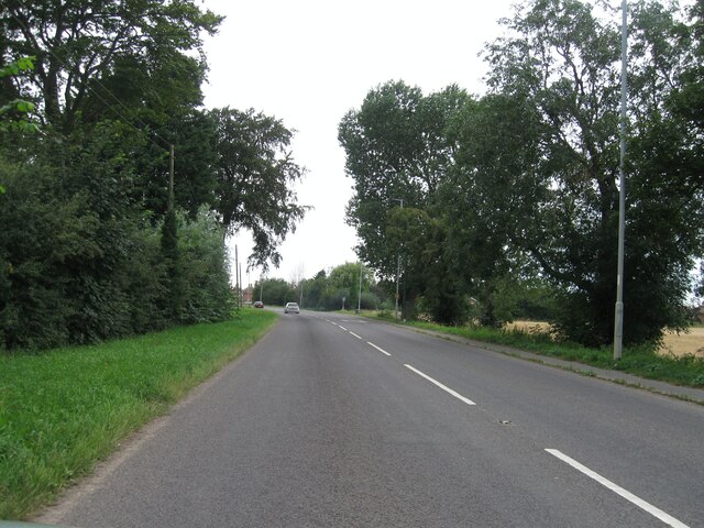
Little Sutton is a small civil parish, containing a few farms and a few houses, lying between the much larger parishes of Long Sutton and Sutton Bridge...

Low Fulney
Low Fulney is a hamlet in the South Holland district of Lincolnshire, England. It is in the Spalding St. Paul's ward of the South Holland District Council...

University Academy Long Sutton
University Academy Long Sutton (formerly The Peele Community College) is a co-educational secondary school located in Long Sutton in the English county...
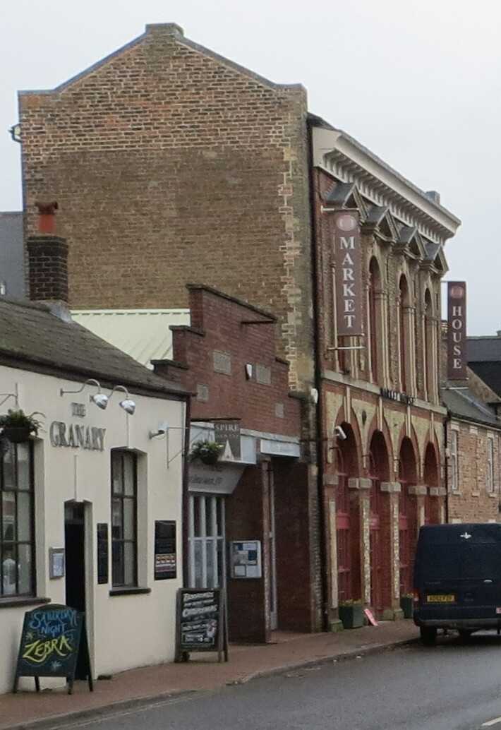
Long Sutton Market House
Long Sutton Market House, also known as Long Sutton Market House and Corn Exchange, is a commercial building in Market Street in Long Sutton, Lincolnshire...

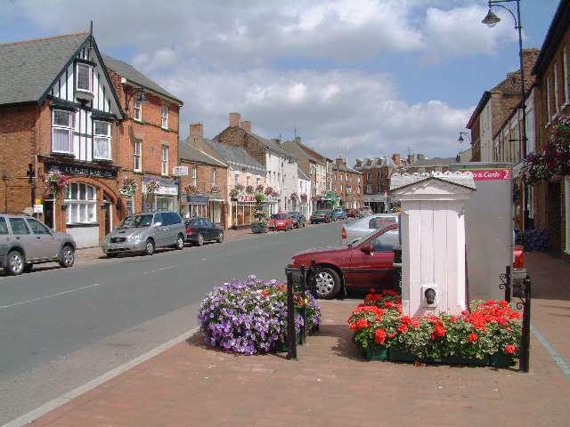
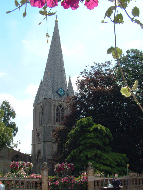
Long Sutton, Lincolnshire
Long Sutton is a market town in the South Holland district of Lincolnshire, England. It lies in The Fens, close to the Wash, 13 miles (21 km) east of Spalding...

Sutton Bridge
Sutton Bridge is a village and civil parish in the South Holland district of Lincolnshire, England. It is situated on the A17 road, 7 miles (11 km) north...
Long Sutton railway station
Long Sutton railway station was a station in Long Sutton, Lincolnshire, England. It was part of the Midland and Great Northern Joint Railway which closed...
Sutton Bridge railway station
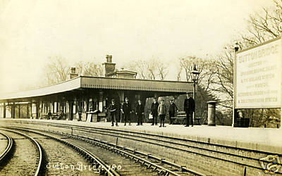
Sutton Bridge railway station was a station in Sutton Bridge, south Lincolnshire, England, which opened in the 19th century. It became part of the Midland...
Nearby Amenities
Located within 500m of 52.778666,0.15356731Have you been to Little Sutton?
Leave your review of Little Sutton below (or comments, questions and feedback).