Little Stukeley

Settlement in Huntingdonshire Huntingdonshire

England

Little Stukeley

A14 exit  to B1043 Contrary to usual practice for motorways and trunk roads, this junction is apparently not numbered.
A14 exit to B1043 Credit: Robin Webster

Little Stukeley is a small village located in Huntingdonshire, a historic county in the eastern part of England. Situated about three miles northwest of the town of Huntingdon, it is surrounded by picturesque countryside and offers a peaceful and idyllic setting.

The village, with a population of around 400 residents, is known for its charming and traditional English architecture. It features a mix of thatched cottages, historic buildings, and more modern houses. The village is well-maintained and boasts a sense of community pride, evident in the colorful gardens and neatly kept streets.

Little Stukeley is home to St. Martin's Church, a beautiful medieval building that dates back to the 12th century. The church is a prominent landmark in the village and is known for its impressive stained glass windows and intricate stone carvings.

Residents of Little Stukeley benefit from a range of amenities, including a village hall, a local pub, and a primary school. The village hall serves as a hub for community events and activities, providing a space for social gatherings, meetings, and various recreational activities.

The surrounding countryside offers stunning natural beauty, with rolling hills, meandering rivers, and ample opportunities for outdoor activities such as hiking, cycling, and horse riding. Little Stukeley also benefits from its close proximity to Huntingdon, which provides additional amenities, shopping centers, and transport links.

Overall, Little Stukeley is a charming and tranquil village that offers a close-knit community, beautiful architecture, and easy access to both rural and urban amenities.

If you have any feedback on the listing, please let us know in the comments section below.

Little Stukeley Images

Images are sourced within 2km of 52.364934/-0.215531 or Grid Reference TL2175. Thanks to Geograph Open Source API. All images are credited.

A14 exit  to B1043 Contrary to usual practice for motorways and trunk roads, this junction is apparently not numbered.
A14 exit to B1043
Contrary to usual practice for motorways and trunk roads, this junction is apparently not numbered.
A14 The A14 is a major road running 127 miles from Felixstowe to the Catthorpe Interchange, the junction of the M1 and M6 motorways near Rugby. The road connects East Anglia with the West Midlands and The North.
Wikipedia: <span class="nowrap"><a title="http://en.wikipedia.org/wiki/A14_road_(England)" rel="nofollow ugc noopener" href="http://en.wikipedia.org/wiki/A14_road_(England)">Link</a><img style="margin-left:2px;" alt="External link" title="External link - shift click to open in new window" src="https://s1.geograph.org.uk/img/external.png" width="10" height="10"/></span>
A14
The A14 is a major road running 127 miles from Felixstowe to the Catthorpe Interchange, the junction of the M1 and M6 motorways near Rugby. The road connects East Anglia with the West Midlands and The North. Wikipedia: LinkExternal link
B1043 turning, A14 The A14 is a major road running 127 miles from Felixstowe to the Catthorpe Interchange, the junction of the M1 and M6 motorways near Rugby. The road connects East Anglia with the West Midlands and The North.
Wikipedia: <span class="nowrap"><a title="http://en.wikipedia.org/wiki/A14_road_(England)" rel="nofollow ugc noopener" href="http://en.wikipedia.org/wiki/A14_road_(England)">Link</a><img style="margin-left:2px;" alt="External link" title="External link - shift click to open in new window" src="https://s1.geograph.org.uk/img/external.png" width="10" height="10"/></span>
B1043 turning, A14
The A14 is a major road running 127 miles from Felixstowe to the Catthorpe Interchange, the junction of the M1 and M6 motorways near Rugby. The road connects East Anglia with the West Midlands and The North. Wikipedia: LinkExternal link
RAF Alconbury Old buildings on part of the redeveloped RAF Alconbury site.
RAF Alconbury
Old buildings on part of the redeveloped RAF Alconbury site.
Old Milestone by the B1090, Ermine Street, Alconbury Huntingdon stone by the B1090 (was A1), in parish of Alconbury (Huntingdonshire District), Ermine Street, beside a roundabout behind McDonald's restaurant, on grass verge.

Broken since surveyed 2004

Inscription once read:-
: (Huntingdon / 4) : : (London / 63) :

Grade II listed.
List Entry Number: 1130243 <span class="nowrap"><a title="https://historicengland.org.uk/listing/the-list/list-entry/1130243" rel="nofollow ugc noopener" href="https://historicengland.org.uk/listing/the-list/list-entry/1130243">Link</a><img style="margin-left:2px;" alt="External link" title="External link - shift click to open in new window" src="https://s1.geograph.org.uk/img/external.png" width="10" height="10"/></span>

Milestone Society National ID: HU_LYA63
Old Milestone by the B1090, Ermine Street, Alconbury
Huntingdon stone by the B1090 (was A1), in parish of Alconbury (Huntingdonshire District), Ermine Street, beside a roundabout behind McDonald's restaurant, on grass verge. Broken since surveyed 2004 Inscription once read:- : (Huntingdon / 4) : : (London / 63) : Grade II listed. List Entry Number: 1130243 LinkExternal link Milestone Society National ID: HU_LYA63
23 Church Road, Great Stukeley Cottage dating from about 1700 <span class="nowrap"><a title="https://historicengland.org.uk/listing/the-list/list-entry/1330501" rel="nofollow ugc noopener" href="https://historicengland.org.uk/listing/the-list/list-entry/1330501">Link</a><img style="margin-left:2px;" alt="External link" title="External link - shift click to open in new window" src="https://s1.geograph.org.uk/img/external.png" width="10" height="10"/></span>
23 Church Road, Great Stukeley
Cottage dating from about 1700 LinkExternal link
11 Church Way, Little Stukeley Seventeenth century cottage <span class="nowrap"><a title="https://historicengland.org.uk/listing/the-list/list-entry/1130166" rel="nofollow ugc noopener" href="https://historicengland.org.uk/listing/the-list/list-entry/1130166">Link</a><img style="margin-left:2px;" alt="External link" title="External link - shift click to open in new window" src="https://s1.geograph.org.uk/img/external.png" width="10" height="10"/></span>
11 Church Way, Little Stukeley
Seventeenth century cottage LinkExternal link
Pond, Alconbury Weald
The beginning of a footpath off Ermine Street
Byway to Alconbury
Byway to Alconbury
Great Stukeley, St Bartholomew
Little Stukeley, St Martin
Green Space near Cambridgeshire Council Offices
RAF Alconbury Gate Guardian The gate guardian at RAF Alconbury is a full scale replica F-5E Tiger II. Painted in 527TFTAS colours and given the identity 01532 (74-1532) it guards the USAF Enclave at RAF Alconbury. The plane is a relic of the 1980s.
RAF Alconbury Gate Guardian
The gate guardian at RAF Alconbury is a full scale replica F-5E Tiger II. Painted in 527TFTAS colours and given the identity 01532 (74-1532) it guards the USAF Enclave at RAF Alconbury. The plane is a relic of the 1980s.
Entrance to the USAF Enclave at RAF Alconbury
Stubble field near Great Stukeley
Low Road A narrow road running between fields of wheat.
Low Road
A narrow road running between fields of wheat.
Wheat field off Low Road
Show me another place!

Little Stukeley is located at Grid Ref: TL2175 (Lat: 52.364934, Lng: -0.215531)

Administrative County: Cambridgeshire

District: Huntingdonshire

Police Authority: Cambridgeshire

What 3 Words

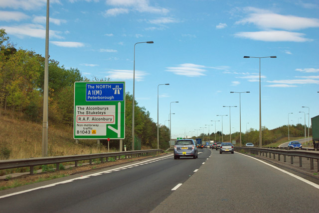
///vine.prominent.shortage. Near Alconbury, Cambridgeshire

Related Wikis

Alconbury High School

Alconbury High School is a public high school located in Alconbury, England, operated by the Department of Defense Education Activity (DoDEA). It is a...
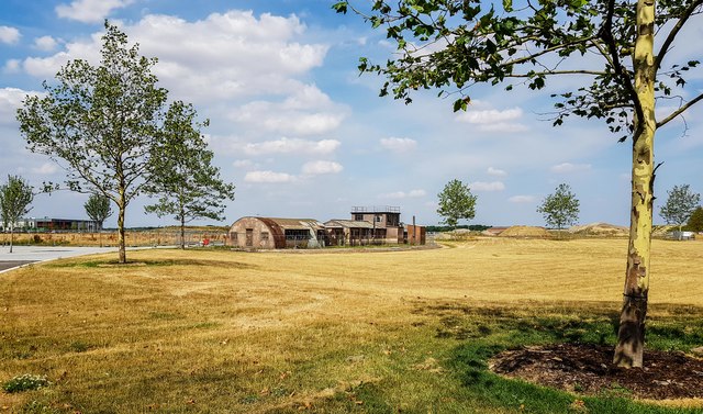
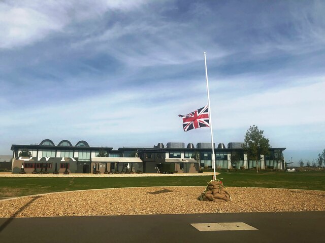
RAF Alconbury

Royal Air Force Alconbury, or more simply RAF Alconbury, is an active Royal Air Force station near Huntingdon, England. The airfield is in the civil parish...

The Stukeleys

The Stukeleys is a civil parish in the district of Huntingdonshire, in Cambridgeshire, England, consisting of the villages of Great Stukeley and Little...

Little Stukeley

Little Stukeley is a village and former civil parish, now in the parish of The Stukeleys, in Cambridgeshire, England. Little Stukeley lies approximately...

Nearby Amenities

Located within 500m of 52.364934,-0.215531
Direction: clockwise
Junction: roundabout
Lat/Long: 52.3678931/-0.2196347
Building: yes
Lat/Long: 52.3642726/-0.2110897
The data included in this document is from www.openstreetmap.org. The data is made available under ODbL.

Have you been to Little Stukeley?

Leave your review of Little Stukeley below (or comments, questions and feedback).