An Camas Aiseig
Bay in Argyllshire
Scotland
An Camas Aiseig

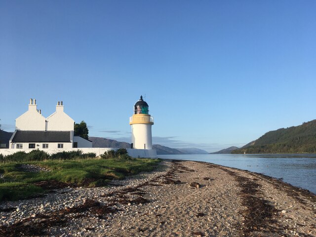
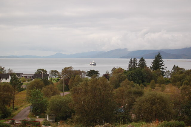
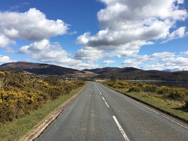
An Camas Aiseig is a small bay located in Argyllshire, a region in western Scotland. Situated on the western coast of the Argyll and Bute council area, the bay is surrounded by scenic landscapes and natural beauty.
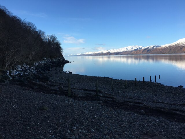
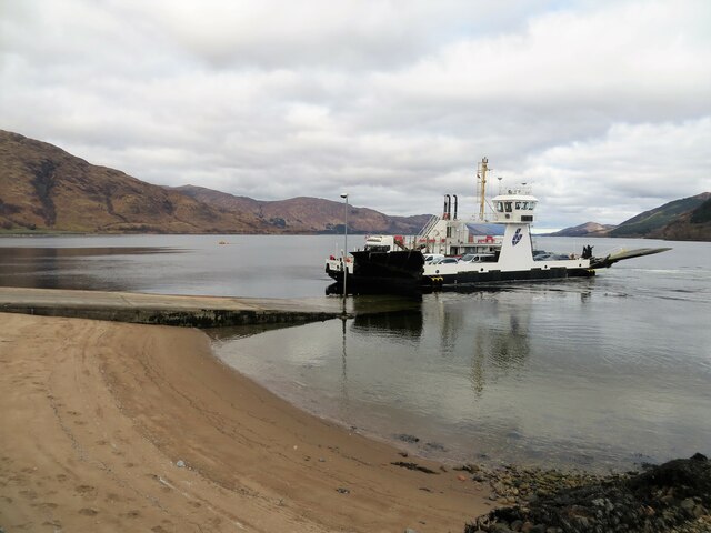
The bay itself is known for its calm and tranquil waters, making it a popular spot for boating and other water activities. It offers stunning views of the surrounding hills and mountains, creating a picturesque setting for visitors and locals alike.
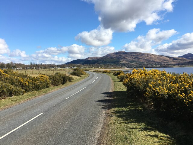
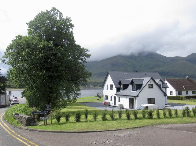
An Camas Aiseig is also home to a small village that shares its name. The village is known for its quaint charm and friendly atmosphere. It provides essential amenities for visitors, including a few shops and cafes where one can enjoy a meal or purchase supplies.
The bay and village are surrounded by lush greenery and wildlife, making it an ideal location for nature enthusiasts. Visitors can enjoy leisurely walks along the coastline, exploring the diverse flora and fauna that inhabit the area. The bay is also known for its birdwatching opportunities, as various species of seabirds can be spotted in the vicinity.
Overall, An Camas Aiseig offers a peaceful and idyllic escape for those seeking a break from the hustle and bustle of city life. With its stunning natural surroundings and charming village, it is a hidden gem in the beautiful region of Argyllshire.
If you have any feedback on the listing, please let us know in the comments section below.
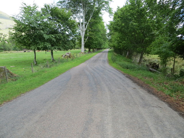
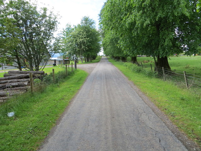
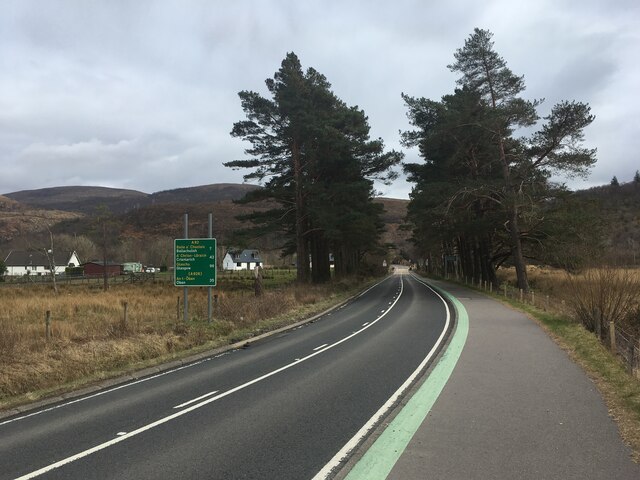
An Camas Aiseig Images
Images are sourced within 2km of 56.728158/-5.2503995 or Grid Reference NN0164. Thanks to Geograph Open Source API. All images are credited.


An Camas Aiseig is located at Grid Ref: NN0164 (Lat: 56.728158, Lng: -5.2503995)
Unitary Authority: Highland
Police Authority: Highlands and Islands
What 3 Words
///commenced.haggle.reviewed. Near Glencoe, Highland
Nearby Locations
Related Wikis

Corran, Lochaber
Corran (Scottish Gaelic: An Corran) is a former fishing village, situated on Corran Point, on the west side of the Corran Narrows of Loch Linnhe, in Lochaber...

Corran Ferry
The Corran Ferry crosses Loch Linnhe at the Corran Narrows, south of Fort William, Scotland. == Description == Operated by Highland Council, the Corran...

Inchree
Inchree (Scottish Gaelic: Innis an Ruighe) is a small hamlet, situated at the northern end of the village of Onich. It is 7 miles south of the town of...

Loch Linnhe
Loch Linnhe ( lokh LIN-ee) is a sea loch on the west coast of Scotland. The part upstream of Corran is known in Gaelic as An Linne Dhubh (the black pool...

Onich
Onich (; Gaelic: Omhanaich, 'abounding in froth, frothy place'), also spelled Ounich, is a village in the historic county of Inverness-shire on the east...

Beinn na Gucaig
Beinn na Gucaig (616 m) is a mountain in the Grampian Mountains of Scotland, located south of Fort William in Lochaber. The peak takes up much of the eastern...
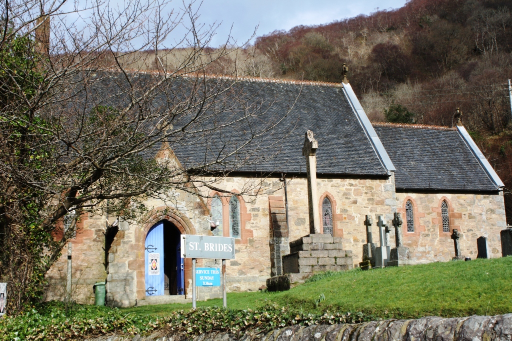
St Bride's Church, Onich
St Bride's Church (alternatively, Saint Brigid of Kildare Church) is an Episcopal parish church in North Ballachulish in the Scottish Highlands, within...
Nether Lochaber
Nether Lochaber ( NEDH-ər lokh-AH-bər) in Lochaber, Highland, Scotland, is the modern (1950s) name for the Parish of Ballachulish and Onich. This Parish...
Nearby Amenities
Located within 500m of 56.728158,-5.2503995Have you been to An Camas Aiseig?
Leave your review of An Camas Aiseig below (or comments, questions and feedback).