Mill Bay

Bay in Pembrokeshire

Wales

Mill Bay

Lawrenny Quay Sunset over the hills around Lawrenny Quay.
Lawrenny Quay Credit: Tony Grant

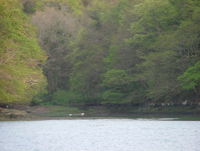
Mill Bay is a stunning and picturesque bay located in the beautiful county of Pembrokeshire, Wales. Nestled along the coast, this bay offers a tranquil and idyllic setting for visitors to enjoy.

One of the highlights of Mill Bay is its golden sandy beach, which stretches for approximately 500 meters. The beach is backed by rolling hills and cliffs, providing a breathtaking backdrop for sunbathers and nature enthusiasts alike. The crystal-clear waters of the bay are perfect for swimming, paddling, and other water activities.

Mill Bay is also an excellent spot for wildlife enthusiasts, as it is home to a variety of bird species, including oystercatchers and curlews. Visitors can often spot seals and dolphins swimming in the bay, adding to the enchanting atmosphere of the area.

For those looking to explore the surrounding area, there are several walking trails and coastal paths that offer spectacular views of the bay and its surroundings. The nearby village of Dale is a popular starting point for these walks, and it offers a range of amenities, including a pub and a restaurant.

Overall, Mill Bay is a hidden gem on the Pembrokeshire coastline, offering visitors a peaceful and picturesque escape from the hustle and bustle of everyday life. Whether you're looking to relax on the beach, explore the local wildlife, or take in the stunning views, Mill Bay is a must-visit destination in Pembrokeshire.

If you have any feedback on the listing, please let us know in the comments section below.

Mill Bay Images

Images are sourced within 2km of 51.707888/-4.8953506 or Grid Reference SN0004. Thanks to Geograph Open Source API. All images are credited.

Lawrenny Quay Sunset over the hills around Lawrenny Quay.
Lawrenny Quay
Sunset over the hills around Lawrenny Quay.
View to Jenkins Point
Cosheston Church Dedicated to St Michael and All Angels, hence the striking weather vane.
Cosheston Church
Dedicated to St Michael and All Angels, hence the striking weather vane.
Cosheston Pill from Cosheston Bridge Looking West as the sun is setting.
Cosheston Pill from Cosheston Bridge
Looking West as the sun is setting.
Cleddau at Lawrenny
Cleddau at Lawrenny
Lawrenny Quay The Fleet Air Arm flew Walrus seaplanes from this point in WW2, but nowadays the place is busy with yachts and other pleasure craft.
Lawrenny Quay
The Fleet Air Arm flew Walrus seaplanes from this point in WW2, but nowadays the place is busy with yachts and other pleasure craft.
Quayside Cafe, Lawrenny A place to realx and watch the boats on the water whilst enjoying a coffee and piece of delicious cake.
Quayside Cafe, Lawrenny
A place to realx and watch the boats on the water whilst enjoying a coffee and piece of delicious cake.
Benton Castle Benton Castle dates from the late 13th Century and is still occupied.
The white lime wash that all castles used to have making it stand out on the banks of the Daugleddau near Pembroke.
Benton Castle
Benton Castle dates from the late 13th Century and is still occupied. The white lime wash that all castles used to have making it stand out on the banks of the Daugleddau near Pembroke.
Millbay Shady anchorage when tide is in.
Millbay
Shady anchorage when tide is in.
Millbay with tide in
Whalecombe Private slipway on Daucleddau estuary
Whalecombe
Private slipway on Daucleddau estuary
Cosheston Pill at low tide Looking quite different to the high tide appearance - see <a title="https://www.geograph.org.uk/photo/218206" href="https://www.geograph.org.uk/photo/218206">Link</a>
Cosheston Pill at low tide
Looking quite different to the high tide appearance - see Link
Derelict barn in Cosheston Hall park Somebody has taken the trouble to brick up the doorway - pity about the roof.
Derelict barn in Cosheston Hall park
Somebody has taken the trouble to brick up the doorway - pity about the roof.
Little Mayeston Near to Mayeston farm, which probably owns the field. I think the building in the centre left distance is Bangeston Hall.
Little Mayeston
Near to Mayeston farm, which probably owns the field. I think the building in the centre left distance is Bangeston Hall.
Cleddau river at low tide It's interesting to see how high the tide can reach when observed at low tide - all the darkened rocks (and indeed the rocks above covered in grass) will be covered in 6 hours by sea water as it's close to spring tide season.
Cleddau river at low tide
It's interesting to see how high the tide can reach when observed at low tide - all the darkened rocks (and indeed the rocks above covered in grass) will be covered in 6 hours by sea water as it's close to spring tide season.
Rhoose Ferry Rhoose ferry looking across to Lawrenny Quay, and the river Cleddau.
Rhoose Ferry
Rhoose ferry looking across to Lawrenny Quay, and the river Cleddau.
Rhoose Ferry Looking back up Rhoose Ferry pill with Benton Woods to the right.
Rhoose Ferry
Looking back up Rhoose Ferry pill with Benton Woods to the right.
Little Mayeston Directly behind can be seen the two valleys which meet at SN007032
Little Mayeston
Directly behind can be seen the two valleys which meet at SN007032
Show me another place!

Mill Bay is located at Grid Ref: SN0004 (Lat: 51.707888, Lng: -4.8953506)

Unitary Authority: Pembrokeshire

Police Authority: Dyfed Powys

What 3 Words

///commander.drops.obliging. Near Burton, Pembrokeshire

Related Wikis

Cosheston

Cosheston is a village, parish, and community in Pembrokeshire, Wales. It is situated on an inlet of the Daugleddau estuary, 3 km north-east of Pembroke...

RNAS Lawrenny Ferry (HMS Daedalus II)

Royal Naval Air Station Lawrenny Ferry(RNAS Lawrenny Ferry, also known as HMS Daedalus II) is a former Royal Naval Air Station located near Lawrenny, Pembrokeshire...

Burton, Pembrokeshire

Burton is a small village, parish and community in Pembrokeshire, Wales, set on a hill overlooking the River Cleddau with views of the estuary to the south...

Upton, Pembrokeshire

Upton, Pembrokeshire is a small, rural parish in Pembrokeshire, Wales, in which Upton Castle and Upton Chapel are significant buildings dating back to...

Nearby Amenities

Located within 500m of 51.707888,-4.8953506
Power: tower
Lat/Long: 51.7074595/-4.902456
Power: tower
Lat/Long: 51.7058472/-4.9006965
The data included in this document is from www.openstreetmap.org. The data is made available under ODbL.

Have you been to Mill Bay?

Leave your review of Mill Bay below (or comments, questions and feedback).