Batchfields

Settlement in Herefordshire

England

Batchfields

Sunflowers in January Between Paunton Court and The Venn.
Sunflowers in January Credit: Bob Embleton

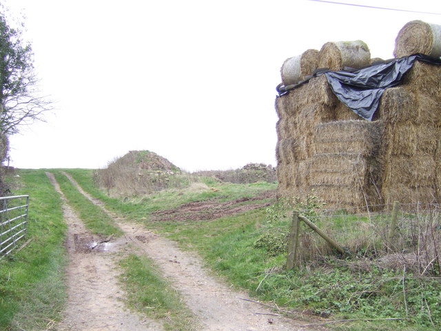
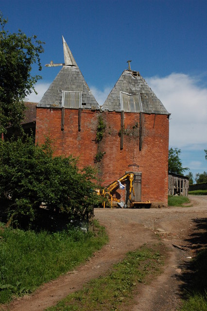
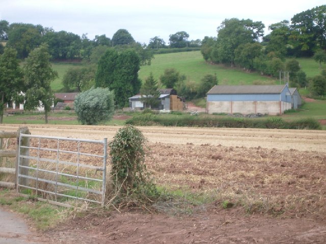
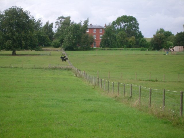
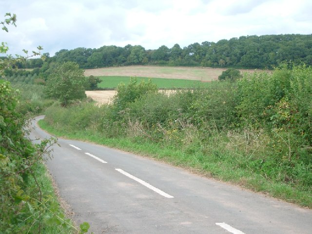
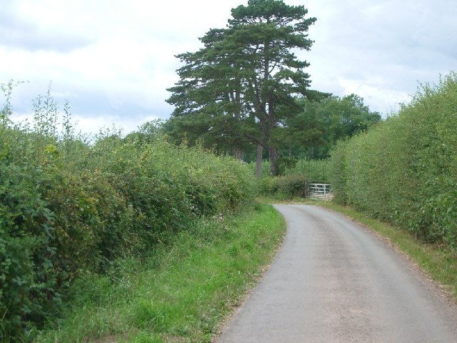
Batchfields is a small village located in the county of Herefordshire, England. Situated in the West Midlands region, it is part of the civil parish of Ewyas Harold. The village is nestled in a picturesque rural setting, surrounded by rolling hills and lush green meadows.

With a population of around 200 residents, Batchfields maintains a close-knit community atmosphere. The village primarily consists of traditional stone cottages and houses, giving it a charming and timeless appeal. The village church, St. Mary's, serves as a focal point for religious and community gatherings.

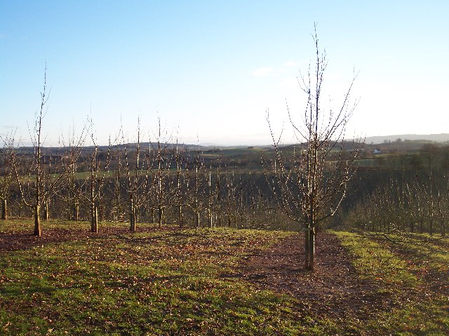
Agriculture plays a significant role in the local economy, with farming being the primary occupation for many residents. The fertile soil and favorable climate of Herefordshire make it an ideal location for cultivating crops and rearing livestock.

Batchfields benefits from its proximity to the larger town of Ewyas Harold, which provides essential amenities such as shops, schools, and medical facilities. Additionally, the village is well-connected to other parts of Herefordshire and beyond through a network of roads and public transportation.

The surrounding countryside offers a wealth of outdoor recreational opportunities, with numerous walking trails and nature reserves nearby. The tranquil atmosphere and scenic landscapes make Batchfields an appealing destination for nature lovers and those seeking a peaceful retreat.

In summary, Batchfields is a charming rural village in Herefordshire, renowned for its agricultural heritage, close community ties, and beautiful natural surroundings.

If you have any feedback on the listing, please let us know in the comments section below.

Batchfields Images

Images are sourced within 2km of 52.13818/-2.5128068 or Grid Reference SO6549. Thanks to Geograph Open Source API. All images are credited.

Sunflowers in January Between Paunton Court and The Venn.
Sunflowers in January
Between Paunton Court and The Venn.
Munderfield Court Looking north east from Stoke Lane.
Munderfield Court
Looking north east from Stoke Lane.
Instone Court Looking east to Instone Court with the Malvern Hills in the distance.
Instone Court
Looking east to Instone Court with the Malvern Hills in the distance.
Oast House, Stocks Farm
B4214 at Munderfield Stocks An oast house by the road indicates the importance of hops to this part of Herefordshire in the past.
B4214 at Munderfield Stocks
An oast house by the road indicates the importance of hops to this part of Herefordshire in the past.
Track and strawstack
Farm buildings at Munderfield Court
Old hop kilns, Munderfield Hop kilns are a common sight in this area, though this one is in a sorry state. Some have been converted into attractive residential accommodation.
Old hop kilns, Munderfield
Hop kilns are a common sight in this area, though this one is in a sorry state. Some have been converted into attractive residential accommodation.
Stoke Lane The lane from Munderfield to all the Stokes (Stoke Lane, Stoke Cross and Stoke Lacy).
Stoke Lane
The lane from Munderfield to all the Stokes (Stoke Lane, Stoke Cross and Stoke Lacy).
Munderfield Stocks junction, looking north
Down to Bishop's Frome The B4214 starts the long, almost unbroken descent from Munderfield Stocks into the Frome valley.
Down to Bishop's Frome
The B4214 starts the long, almost unbroken descent from Munderfield Stocks into the Frome valley.
The lane between Evesbatch and Bishops Frome looking east
The lane between Evesbatch and Bishops Frome
looking east
Former chapel at Bishops Frome
Wellington Farm Looking north from the lane west of Bishops Frome.
Wellington Farm
Looking north from the lane west of Bishops Frome.
Hall Court Glimpsed from the lane.
Hall Court
Glimpsed from the lane.
Hanging Covert from the road junction at SO635484
Hanging Covert
from the road junction at SO635484
Lane near Stoke Lacy looking north-west towards the turning for Hopton Sollers
Lane near Stoke Lacy
looking north-west towards the turning for Hopton Sollers
Recent Orchard on the site of Moorend Coppice At the highest point of the old road from Five Bridges to Hope's Rough, quite close to Bromtree's Hall. Looking south through the recently planted trees looking towards May Hill on the horizon (but barely visible on this picture).
Recent Orchard on the site of Moorend Coppice
At the highest point of the old road from Five Bridges to Hope's Rough, quite close to Bromtree's Hall. Looking south through the recently planted trees looking towards May Hill on the horizon (but barely visible on this picture).
Show me another place!

Batchfields is located at Grid Ref: SO6549 (Lat: 52.13818, Lng: -2.5128068)

Unitary Authority: County of Herefordshire

Police Authority: West Mercia

What 3 Words

///escapades.simmer.dorms. Near Evesbatch, Herefordshire

Related Wikis

Bishop's Frome

Bishop's Frome (or Bishops Frome) is a village and civil parish in eastern Herefordshire, England. The village is 11 miles (18 km) north-east of the city...

Halmond's Frome

Halmond's Frome is a hamlet in the civil parish of Bishop's Frome in Herefordshire, England, and is 11 miles (18 km) north-east from the city and county...

Acton Beauchamp

Acton Beauchamp () is a village and civil parish in Herefordshire, England. It is approximately 12 miles (19 km) north-east from the city and county town...

Stoke Lacy

Stoke Lacy is a small village and civil parish in the English county of Herefordshire. Stoke Lacy lies on the main A465 road that connects Hereford and...

Much Cowarne

Much Cowarne is a village and civil parish in the English county of Herefordshire, located off the A417 about 16 miles from Hereford and 10 miles from...

Evesbatch

Evesbatch is a village and civil parish 12 miles (19 km) north east of Hereford, in the county of Herefordshire, England. In 2001 the parish had a population...

Fromes Hill

Fromes Hill is a hamlet in the civil parish of Bishop's Frome, in Herefordshire, England, and is about 15 miles (24 km) east from the city and county town...

Eggleton, Herefordshire

Eggleton (or Egleton) is a small civil parish in Herefordshire, England. Its main centres of population are Lower Eggleton and Upper Eggleton. The parish...

Nearby Amenities

Located within 500m of 52.13818,-2.5128068
Power: pole
Lat/Long: 52.13573/-2.5147084
Power: pole
Lat/Long: 52.1358483/-2.5185768
Power: pole
Lat/Long: 52.136027/-2.5174336
Power: pole
Lat/Long: 52.1361541/-2.5166208
Power: pole
Lat/Long: 52.1361444/-2.5154333
Hall Court
Power: pole
Transformer: distribution
Voltage Primary: 11000
Lat/Long: 52.135355/-2.5140768
Power: pole
Lat/Long: 52.1353344/-2.5127692
Power: pole
Lat/Long: 52.1352846/-2.5113838
Power: pole
Lat/Long: 52.134715/-2.5098422
Power: pole
Lat/Long: 52.135241/-2.5099837
Power: pole
Lat/Long: 52.1355122/-2.5083831
Power: pole
Lat/Long: 52.1352233/-2.5094218
Wellington Farm
Power: pole
Transformer: distribution
Voltage Primary: 11000
Lat/Long: 52.1359559/-2.5067751
Power: pole
Lat/Long: 52.1385546/-2.5058109
Power: pole
Lat/Long: 52.1393229/-2.5063781
Power: pole
Lat/Long: 52.1400658/-2.5069354
Power: pole
Lat/Long: 52.1408259/-2.5073055
The data included in this document is from www.openstreetmap.org. The data is made available under ODbL.

Have you been to Batchfields?

Leave your review of Batchfields below (or comments, questions and feedback).