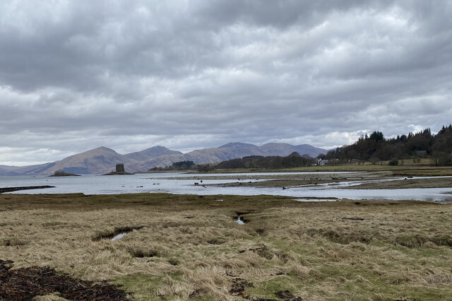
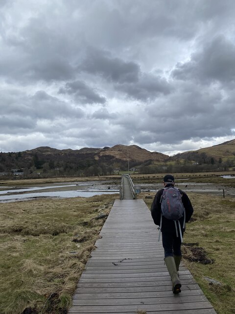
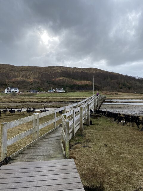
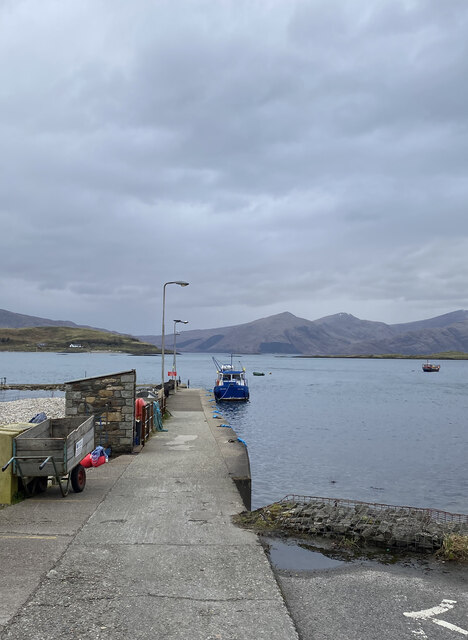
Ceann an t-Sàilein
Bay in Argyllshire
Scotland
Ceann an t-Sàilein

The requested URL returned error: 429 Too Many Requests
If you have any feedback on the listing, please let us know in the comments section below.
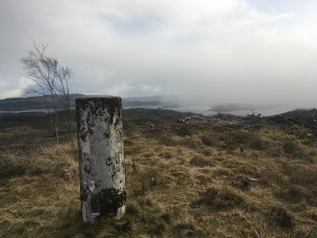
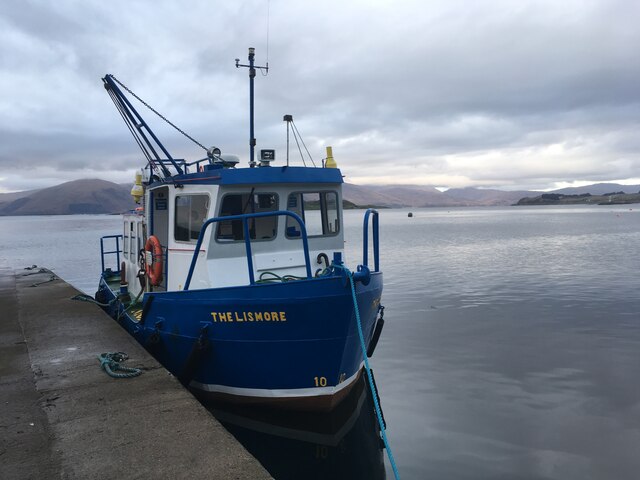
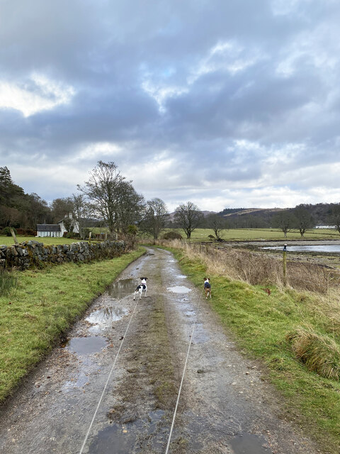
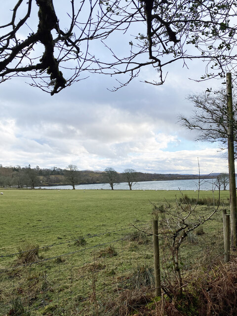
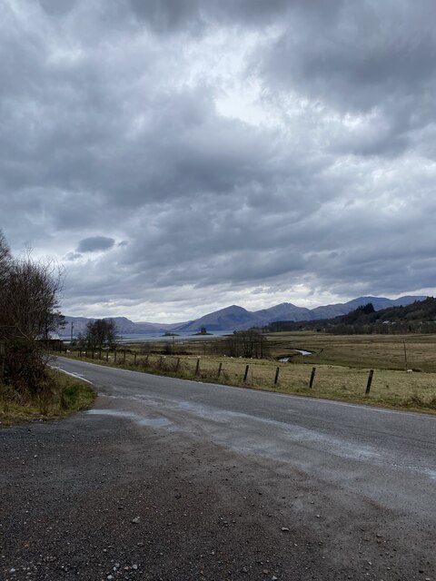
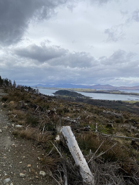
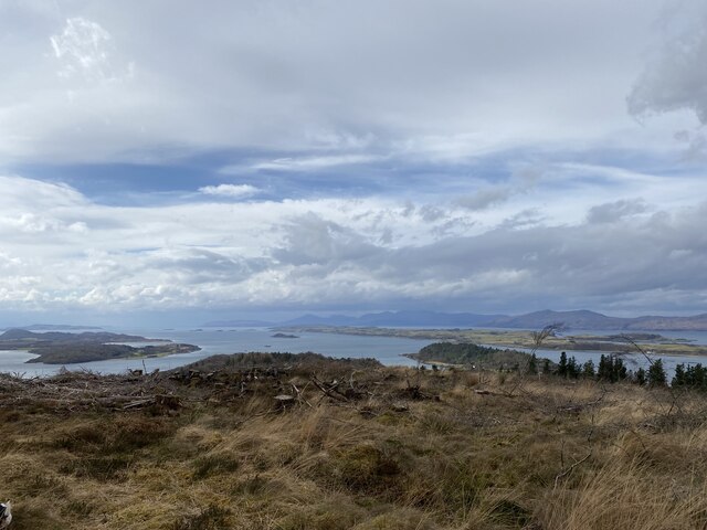
Ceann an t-Sàilein Images
Images are sourced within 2km of 56.562059/-5.3883563 or Grid Reference NM9146. Thanks to Geograph Open Source API. All images are credited.

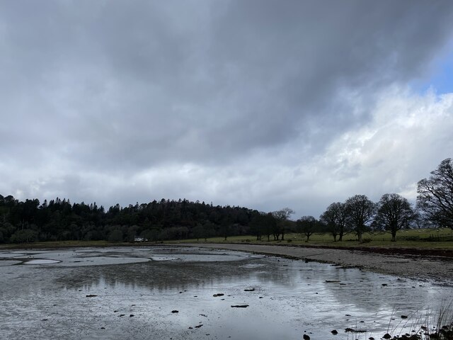


Ceann an t-Sàilein is located at Grid Ref: NM9146 (Lat: 56.562059, Lng: -5.3883563)
Unitary Authority: Argyll and Bute
Police Authority: Argyll and West Dunbartonshire
What 3 Words
///glee.altering.longingly. Near Oban, Argyll & Bute
Nearby Locations
Related Wikis

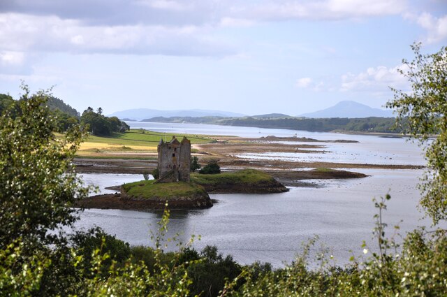
Castle Stalker
Castle Stalker (Scottish Gaelic: Caisteal an Stalcaire) is a four-storey tower house or keep in the Scottish county of Argyll. It is set on a tidal islet...
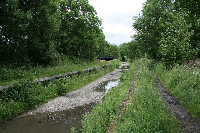
Appin railway station
Appin was a railway station in Scotland, close to the Sound of Shuna on the east shore of Loch Laiche - an arm of Loch Linnhe, Portnacroish, Appin in Argyll...

Appin
Appin (Scottish Gaelic: An Apainn) is a coastal district of the Scottish West Highlands bounded to the west by Loch Linnhe, to the south by Loch Creran...

Airds Bay
Airds Bay is a small bay south-west of Port Appin on the west coast of Scotland. It is located at the south-western end of Appin in Argyll and Bute, forming...
Nearby Amenities
Located within 500m of 56.562059,-5.3883563Have you been to Ceann an t-Sàilein?
Leave your review of Ceann an t-Sàilein below (or comments, questions and feedback).