Bullwell Bay
Bay in Pembrokeshire
Wales
Bullwell Bay
Bullwell Bay is a picturesque cove located in the county of Pembrokeshire, Wales. Nestled between the villages of Penally and Lydstep, this small bay offers a tranquil and serene escape from the bustling tourist hotspots in the area.
The bay is characterized by its rugged cliffs, golden sandy beach, and crystal-clear turquoise waters. At low tide, a series of rocky outcrops emerge, creating small pools that are perfect for exploring marine life. The bay is also backed by lush green hills, providing a stunning backdrop to the scenery.
Bullwell Bay is a popular destination for both locals and tourists seeking a peaceful day by the sea. The beach offers ample space for sunbathing, picnicking, and beach games, making it a great spot for families. The calm waters of the bay are also ideal for swimming and snorkeling, providing opportunities to spot various marine species.
For those who enjoy coastal walks, Bullwell Bay is situated along the Pembrokeshire Coast Path, a renowned long-distance trail that stretches for 186 miles. The bay serves as a perfect starting or ending point for a scenic hike, with breathtaking views of the rugged coastline and the chance to spot seals, dolphins, and seabirds along the way.
While there are no facilities directly at Bullwell Bay, it is only a short distance from the nearby villages of Penally and Lydstep, where visitors can find amenities such as cafes, restaurants, and public restrooms.
Overall, Bullwell Bay is a hidden gem on the Pembrokeshire coast, offering natural beauty, tranquility, and opportunities for outdoor exploration.
If you have any feedback on the listing, please let us know in the comments section below.
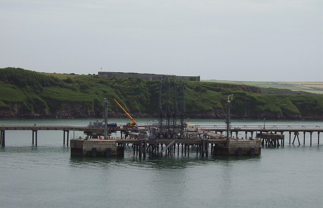
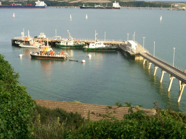
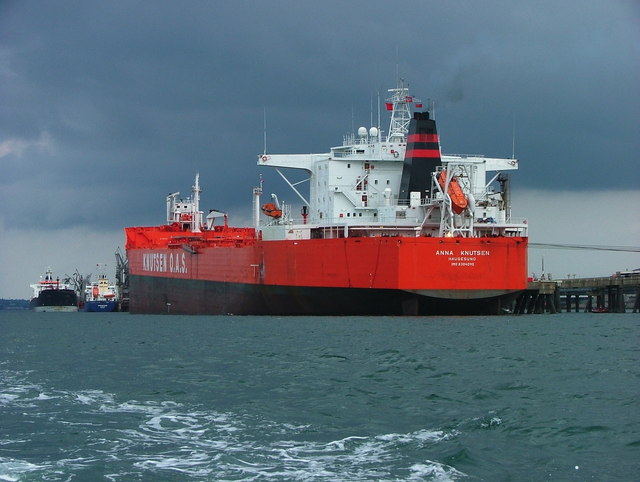
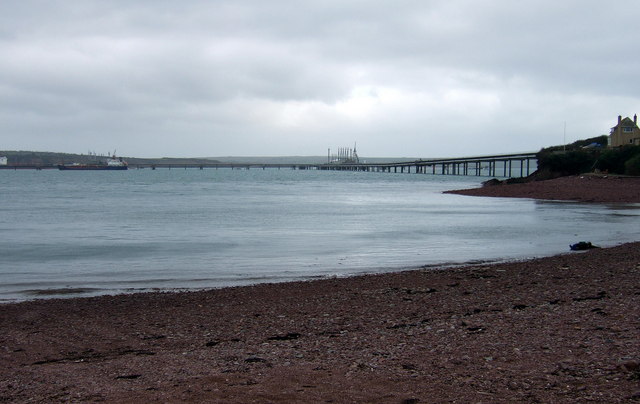
Bullwell Bay Images
Images are sourced within 2km of 51.693761/-5.0382862 or Grid Reference SM9003. Thanks to Geograph Open Source API. All images are credited.


Bullwell Bay is located at Grid Ref: SM9003 (Lat: 51.693761, Lng: -5.0382862)
Unitary Authority: Pembrokeshire
Police Authority: Dyfed Powys
What 3 Words
///drop.mankind.templates. Near Milford Haven, Pembrokeshire
Nearby Locations
Related Wikis
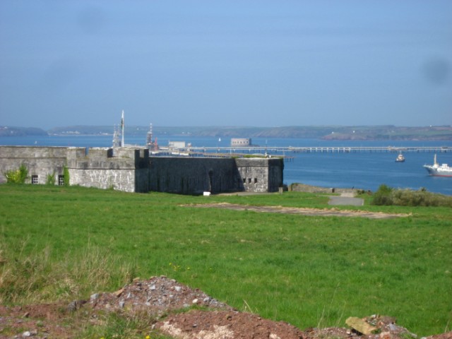
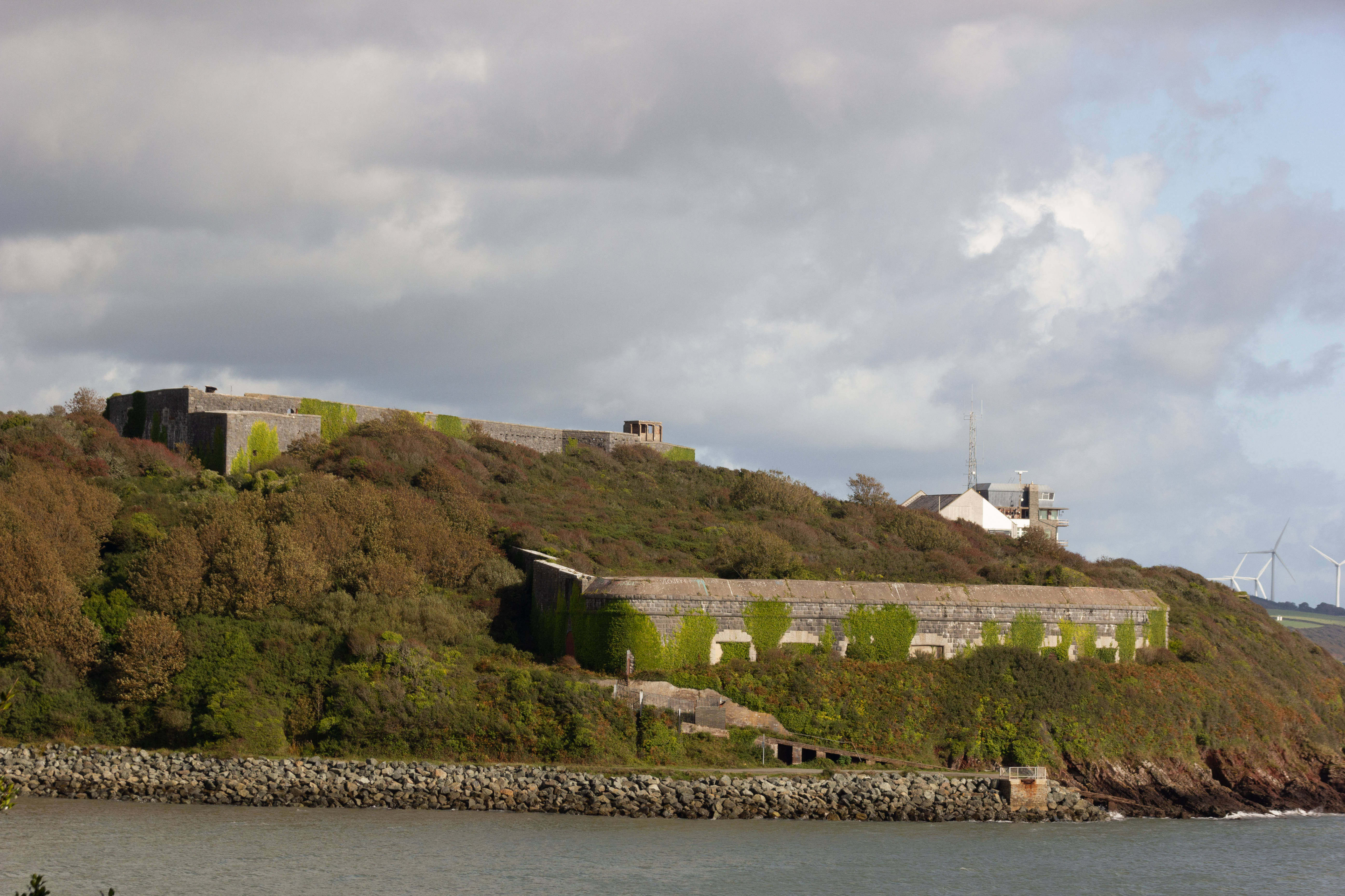
Popton Fort
Popton Fort, a Grade II* Listed Building, is a Palmerston fort completed in 1864 as part of the inner line of defence of Milford Haven together with Fort...
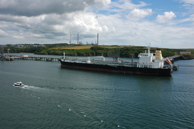
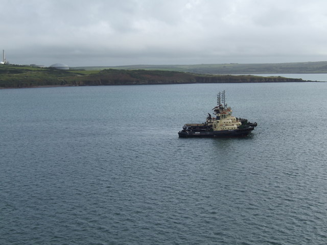
Pembroke Refinery
The Pembroke Refinery is an oil refinery situated on the Pembrokeshire coast in Wales at Rhoscrowther in the community of Angle. It first came on stream...
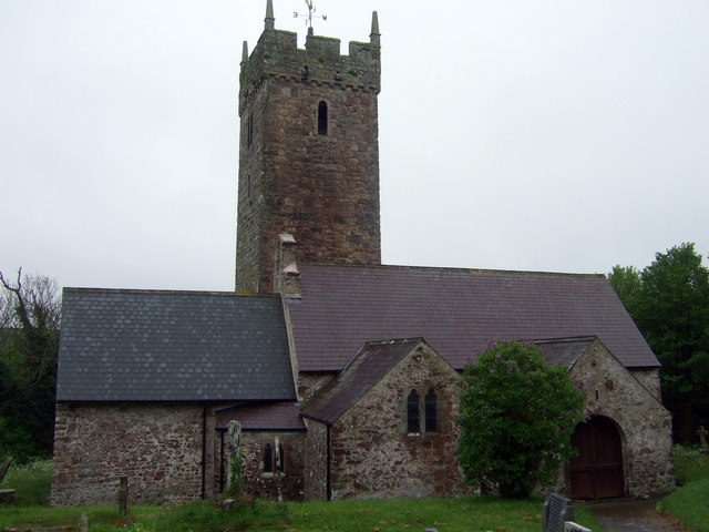
St Decuman's Church, Rhoscrowther
St Decuman's is a Grade I listed building in Rhoscrowther, Pembrokeshire, Wales. == History == The parish church is on a very early Christian site and...
Rhoscrowther
Rhoscrowther (Welsh: Rhoscrowdder) was a village, ecclesiastical parish and civil parish in Pembrokeshire, Wales on the south shore of the Milford Haven...
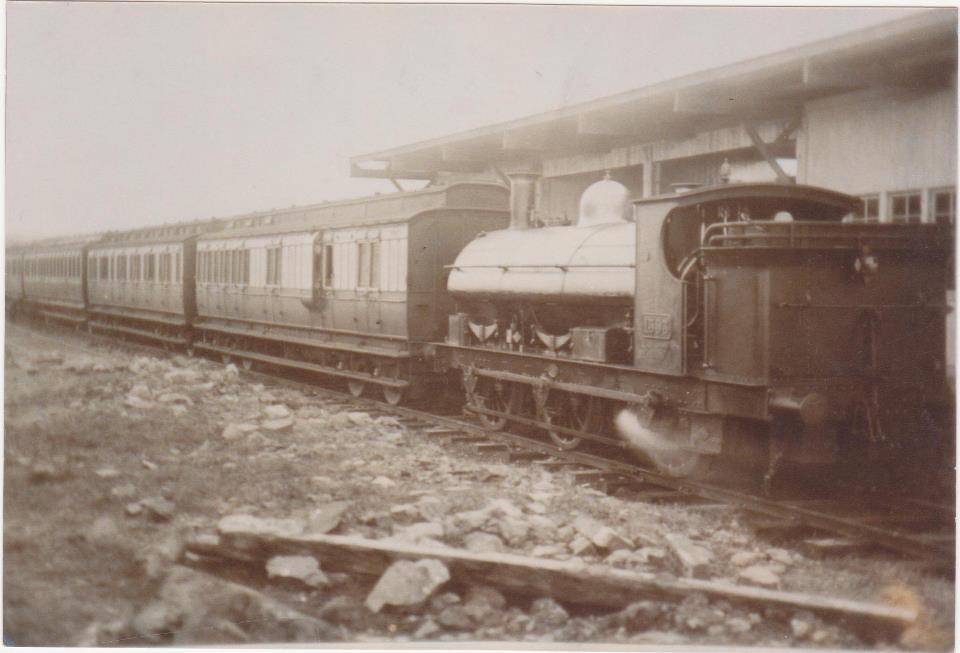
Hakin Docks railway station
Hakin Dock railway station was a railway station in the town of Milford Haven in Pembrokeshire, Wales. Located within the commercial docks at Hakin, it...
Fort Hubberstone
Fort Hubberstone, on the west side of Milford Haven, Pembrokeshire, is a Grade II* Listed Building which belongs to a series of forts built as part of...

Pill Fort
Pill Fort was a sconce fort located on the northern shore of Milford Haven, Pembrokeshire. It was built by Royalist forces in order to prevent Parliamentarian...

RNMD Milford Haven
RNMD Milford Haven is a "decommissioned" Royal Naval Armaments Depot located on the north shore of Milford Haven between Milford Haven and Llanstadwel...
Nearby Amenities
Located within 500m of 51.693761,-5.0382862Have you been to Bullwell Bay?
Leave your review of Bullwell Bay below (or comments, questions and feedback).