Am Broilein

Bay in Argyllshire

Scotland

Am Broilein

Grassy slopes of Meall nan Each
Grassy slopes of Meall nan Each Credit: Steven Brown

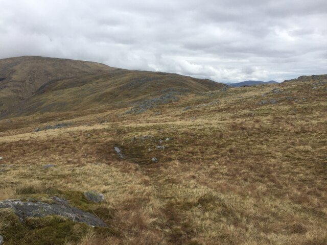
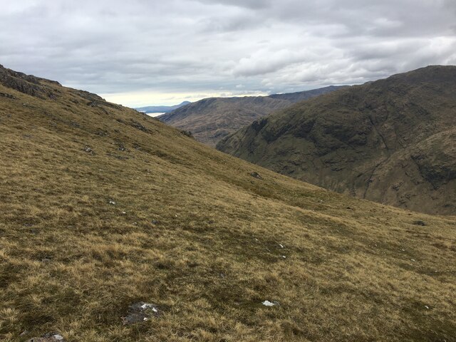
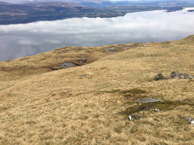
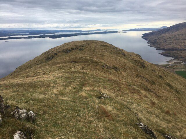
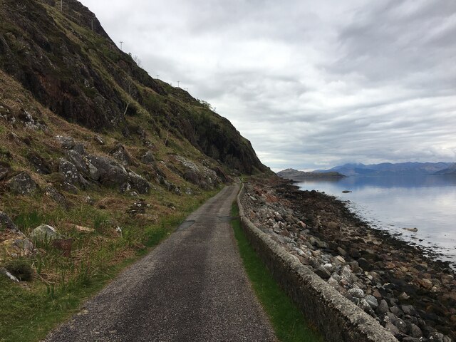
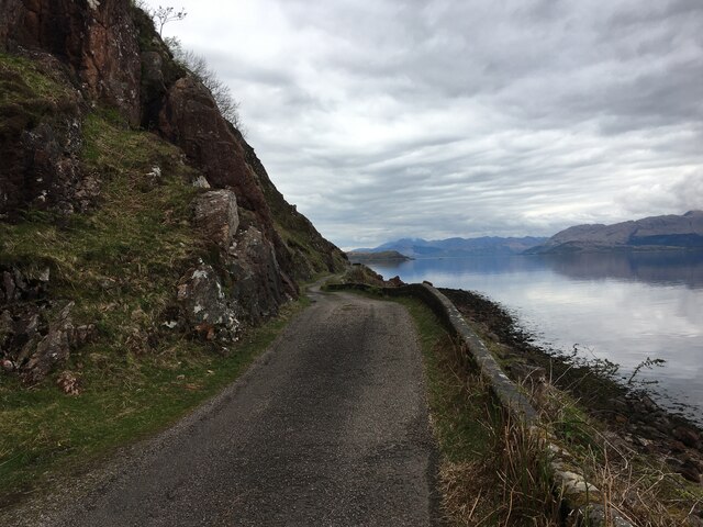
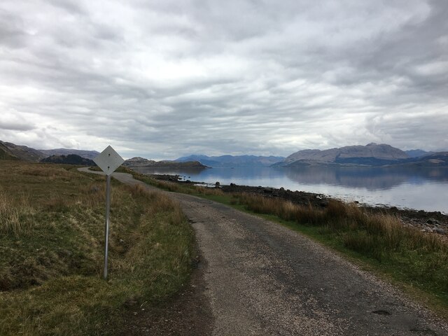
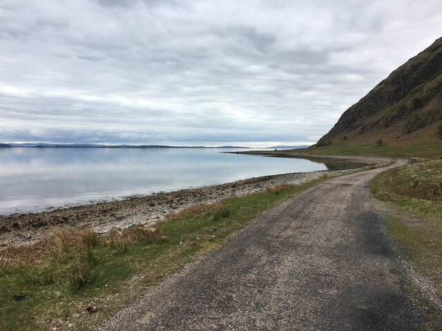
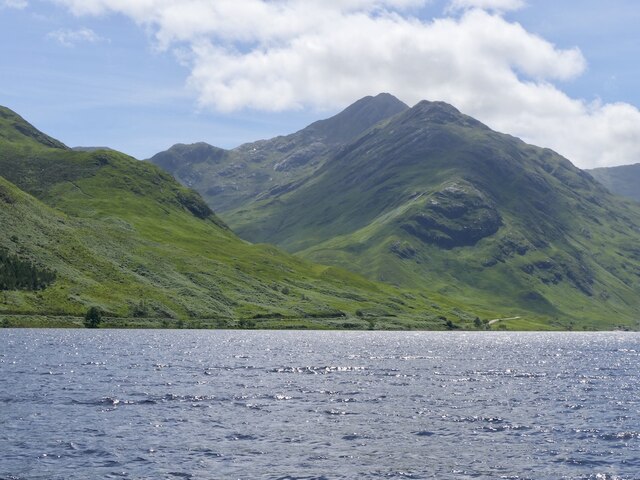
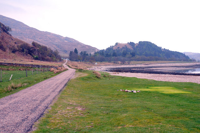
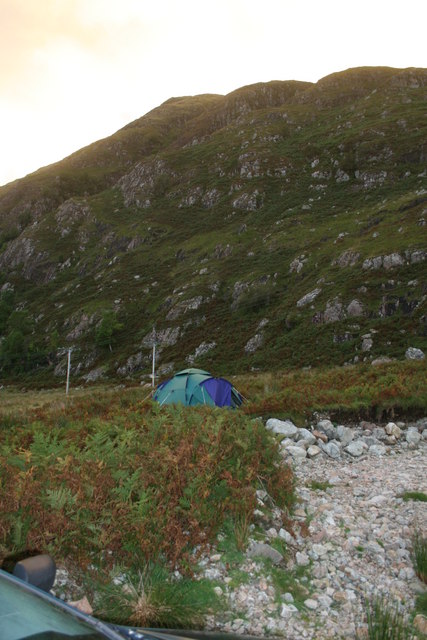
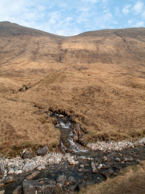
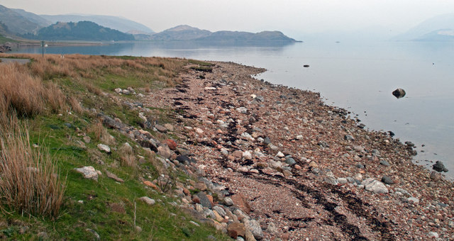
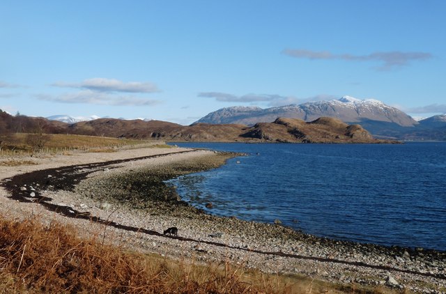
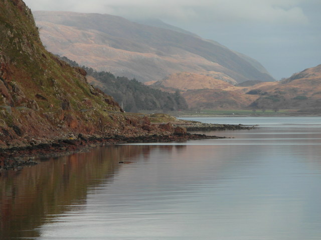
Am Broilein, located in Argyllshire, is a picturesque bay nestled on the western coast of Scotland. It is a small yet enchanting coastal village, known for its stunning natural beauty and rich historical heritage. The bay is surrounded by rolling hills and lush greenery, offering visitors breathtaking panoramic views of the Atlantic Ocean.

The village itself is quaint and charming, with traditional Scottish cottages dotting the landscape. The local community is warm and welcoming, preserving the region's authentic Scottish culture and traditions. Fishing has been a significant part of the local economy for centuries, and visitors can witness fishermen bringing in their daily catch of fresh seafood.

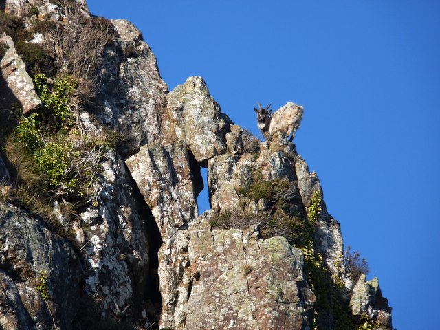
Nature enthusiasts will be delighted by the diverse wildlife that inhabits the area. Seals and dolphins are often spotted in the bay, delighting onlookers with their playful antics. The bay is also a haven for birdwatchers, as a variety of seabirds, including puffins and guillemots, can be observed in their natural habitat.

For history enthusiasts, Am Broilein offers a glimpse into Scotland's past. The ruins of an ancient castle stand proudly on a nearby hill, serving as a reminder of the region's medieval heritage. Visitors can explore the castle's remains and imagine the grandeur it once held.

Overall, Am Broilein, Argyllshire, is a hidden gem that combines stunning natural beauty, a rich historical background, and a warm and welcoming community. Whether visitors seek relaxation, outdoor adventures, or a taste of Scottish history, this charming bay has something to offer everyone.

If you have any feedback on the listing, please let us know in the comments section below.

Am Broilein Images

Images are sourced within 2km of 56.631272/-5.4465979 or Grid Reference NM8854. Thanks to Geograph Open Source API. All images are credited.

Grassy slopes of Meall nan Each
Grassy slopes above Glen Galmadale
Grassy slopes high above Loch Linnhe
Rough path on Druim na Maodalaich
B8043 road along Loch Linnhe
B8043 alongside Loch Linnhe
Sgùrr Ghiubhsachain The peak on the left of the famous view down Loch Shiel. The facing ridge is a very fine way up.
Sgùrr Ghiubhsachain
The peak on the left of the famous view down Loch Shiel. The facing ridge is a very fine way up.
Druim na Maodalaich's wildlife A wild goat at home on vertical ground
Druim na Maodalaich's wildlife
A wild goat at home on vertical ground
Milepost beside the B8043 at Kilmalieu
B8043 near Kilmalieu
Wild camping by Allt an t-Salainn
Coire nan Each Coire nan Each is the stream groove descending from the col near the centre skyline; the peak to the left is Meall nan Each. The foreground flow is the Glengalmadale River; despite appearances the stream joining it is not that from Coire nan Each, but another.
Coire nan Each
Coire nan Each is the stream groove descending from the col near the centre skyline; the peak to the left is Meall nan Each. The foreground flow is the Glengalmadale River; despite appearances the stream joining it is not that from Coire nan Each, but another.
Western shore of Loch Linnhe The view is to the north-east from beside the B8043 below Druim na Maodalaich. The dot out in the loch at the right side of the image is a great northern diver.
Western shore of Loch Linnhe
The view is to the north-east from beside the B8043 below Druim na Maodalaich. The dot out in the loch at the right side of the image is a great northern diver.
Barn at Kilmalieu Kilmalieu is a very small settlement situated remotely on the west side of Loch Linnhe. This building is now part of an outdoor centre; it has OS flush bracket No. 11774 on the longer wall close to the near angle.
Barn at Kilmalieu
Kilmalieu is a very small settlement situated remotely on the west side of Loch Linnhe. This building is now part of an outdoor centre; it has OS flush bracket No. 11774 on the longer wall close to the near angle.
The bay at Kilmalieu Rubha na h-Earba and Beinn a' Bheithir beyond
The bay at Kilmalieu
Rubha na h-Earba and Beinn a' Bheithir beyond
Loch Linnhe The B8043 winding precariously along the shore here.
Loch Linnhe
The B8043 winding precariously along the shore here.
Show me another place!

Am Broilein is located at Grid Ref: NM8854 (Lat: 56.631272, Lng: -5.4465979)

Unitary Authority: Highland

Police Authority: Highlands and Islands

What 3 Words

///commuting.cactus.dislodge. Near Glencoe, Highland

Related Wikis

Creach Bheinn (Morvern)

Creach Bheinn is a prominent mountain in the Morvern area in the west of Scotland. It is less steep and even less frequently climbed than its northern...

Shuna Island

Shuna Island or simply Shuna is an island in Loch Linnhe, offshore from Appin, in Argyll and Bute, Scotland. The island is approximately two kilometres...

A861 road

The A861 road is a circuitous, primarily coastal, road in Lochaber, within the Highland council area of Scotland.The A861 serves the communities of the...

Castle Stalker

Castle Stalker (Scottish Gaelic: Caisteal an Stalcaire) is a four-storey tower house or keep in the Scottish county of Argyll. It is set on a tidal islet...

Nearby Amenities

Located within 500m of 56.631272,-5.4465979
Power: pole
Lat/Long: 56.6287148/-5.4519546
Power: pole
Lat/Long: 56.6296236/-5.4507852
Power: pole
Lat/Long: 56.6301385/-5.450246
Power: pole
Lat/Long: 56.6306637/-5.4496908
Power: pole
Lat/Long: 56.6311963/-5.44909
Power: pole
Lat/Long: 56.6318896/-5.4483792
Power: pole
Lat/Long: 56.6324842/-5.447714
Power: pole
Lat/Long: 56.6329208/-5.4472071
Power: pole
Lat/Long: 56.6333486/-5.4467994
Power: pole
Lat/Long: 56.6339963/-5.4460591
Power: pole
Lat/Long: 56.6346055/-5.4453886
Power: pole
Lat/Long: 56.6352015/-5.4447341
Power: pole
Lat/Long: 56.6288225/-5.4520619
Power: pole
Lat/Long: 56.6292341/-5.4515898
Power: pole
Lat/Long: 56.6296457/-5.4511178
Power: pole
Lat/Long: 56.6301149/-5.4505867
Power: pole
Lat/Long: 56.6306342/-5.4500288
Power: pole
Lat/Long: 56.6311977/-5.4493716
Power: pole
Lat/Long: 56.6316905/-5.4488754
Power: pole
Lat/Long: 56.6322378/-5.4482558
Power: pole
Lat/Long: 56.6325387/-5.4479232
Power: pole
Lat/Long: 56.6332277/-5.4471964
Power: pole
Lat/Long: 56.6338133/-5.4465714
Power: pole
Lat/Long: 56.6342795/-5.4460216
Power: pole
Lat/Long: 56.6348282/-5.4454395
Power: pole
Lat/Long: 56.6353947/-5.4448119
The data included in this document is from www.openstreetmap.org. The data is made available under ODbL.

Have you been to Am Broilein?

Leave your review of Am Broilein below (or comments, questions and feedback).