Blucks Pool

Bay in Pembrokeshire

Wales

Blucks Pool

Ordnance Survey Flush Bracket (G5105) This OS Flush Bracket can be found on the NT building at Gupton Farm. It marks a point 37.158m above mean sea level.
Ordnance Survey Flush Bracket (G5105) Credit: Adrian Dust

Blucks Pool, located in Pembrokeshire, Wales, is a picturesque bay renowned for its natural beauty and tranquil surroundings. Situated on the south-western coast of Wales, it offers visitors a unique and idyllic coastal experience.

The bay is characterized by its crystal-clear waters, pristine sandy beaches, and breathtaking cliffs. Many visitors are drawn to Blucks Pool for its unspoiled and secluded atmosphere, making it a popular destination for those seeking a peaceful retreat. The beach is relatively small, providing an intimate and uncrowded environment for sunbathing, picnicking, or simply enjoying the scenic views.

Blucks Pool is also a haven for wildlife enthusiasts. The bay is home to a diverse range of bird species, including gulls, cormorants, and oystercatchers. For those interested in marine life, the area offers excellent opportunities for snorkeling or diving, with an abundance of colorful marine creatures and underwater flora.

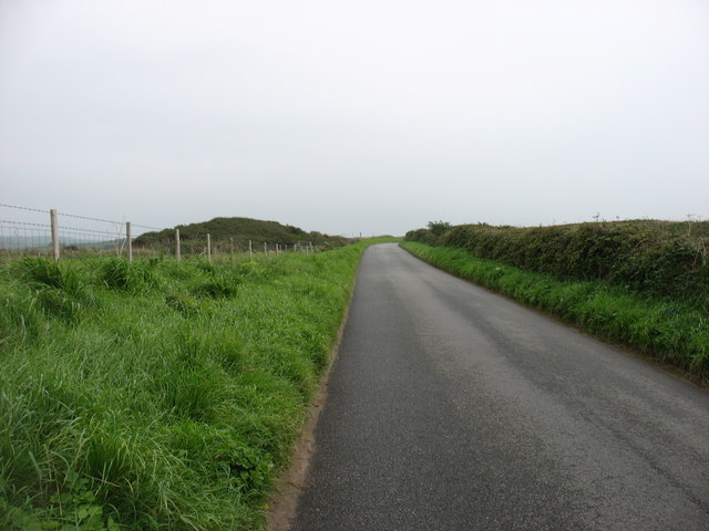
Access to Blucks Pool is relatively easy, with a small car park located nearby. From there, a short walk through a picturesque path surrounded by lush greenery leads visitors to the bay. However, it is important to note that the beach is not accessible during high tide, so it is advised to plan the visit accordingly.

Overall, Blucks Pool in Pembrokeshire is a hidden gem for nature lovers, offering a serene and unspoiled coastal experience. Whether you are looking to relax on the beach, explore the diverse marine life, or simply enjoy the tranquility of the surroundings, this bay is a must-visit destination.

If you have any feedback on the listing, please let us know in the comments section below.

Blucks Pool Images

Images are sourced within 2km of 51.634685/-5.0563894 or Grid Reference SR8897. Thanks to Geograph Open Source API. All images are credited.

Ordnance Survey Flush Bracket (G5105) This OS Flush Bracket can be found on the NT building at Gupton Farm. It marks a point 37.158m above mean sea level.
Ordnance Survey Flush Bracket (G5105)
This OS Flush Bracket can be found on the NT building at Gupton Farm. It marks a point 37.158m above mean sea level.
Entrance to Gupton Farm
Road to Freshwater West
Keep Out! Notice about a firing range - large swathes of the Pembrokeshire peninsula are owned by the Ministry of Defence. This notice marks the western end of Castlemartin Trainig Area
Keep Out!
Notice about a firing range - large swathes of the Pembrokeshire peninsula are owned by the Ministry of Defence. This notice marks the western end of Castlemartin Trainig Area
Farmland near Gupton Farm The chimneys of Valero Oil Refinery on the far horizon
Farmland near Gupton Farm
The chimneys of Valero Oil Refinery on the far horizon
Gupton Farm Campsite and surf lodge, just visible from the Coast Path
Gupton Farm
Campsite and surf lodge, just visible from the Coast Path
Pembrokeshire Coast Path at Castlemartin Range The path is open here at all times - but you are warned about the possibility of sudden noises, smoke or military troops, and do NOT touch suspicious objects!
The path runs between the B4319 and Brownslade Burrows
Pembrokeshire Coast Path at Castlemartin Range
The path is open here at all times - but you are warned about the possibility of sudden noises, smoke or military troops, and do NOT touch suspicious objects! The path runs between the B4319 and Brownslade Burrows
Freshwater West
Freshwater West
The Pembrokeshire Coast Path at Gupton Burrows
Entrance to National Trust campsite
Red flag flying (firing on the range today)
Freshwater West - seaweed drying hut
Freshwater West
Freshwater West
The coast south of Freshwater West All except the immediate foreground and the beach is part of the Castlemartin Artillery Range, and so definitely a 'no-go' area. (Though I believe that the MoD have a guided walk on one day each year.)
The coast south of Freshwater West
All except the immediate foreground and the beach is part of the Castlemartin Artillery Range, and so definitely a 'no-go' area. (Though I believe that the MoD have a guided walk on one day each year.)
The B4319 to Castlemartin
Farmland near Gupton Farm Not very exciting, I agree, but typical of the southern half of this square!
Farmland near Gupton Farm
Not very exciting, I agree, but typical of the southern half of this square!
Ordnance Survey Cut Mark This OS cut mark can be found on the concrete post SW side of the road. It marks a point 50.086m above mean sea level.
Ordnance Survey Cut Mark
This OS cut mark can be found on the concrete post SW side of the road. It marks a point 50.086m above mean sea level.
Western Walls Far, western, end of the artillery ranges at Castlemartin.  New routing on juggy limestone. One of the best easy end climbing crags anywhere.
Western Walls
Far, western, end of the artillery ranges at Castlemartin. New routing on juggy limestone. One of the best easy end climbing crags anywhere.
Show me another place!

Blucks Pool is located at Grid Ref: SR8897 (Lat: 51.634685, Lng: -5.0563894)

Unitary Authority: Pembrokeshire

Police Authority: Dyfed Powys

What 3 Words

///health.workers.thankful. Near Castlemartin, Pembrokeshire

Nearby Locations

Blucks Pool The Pole

Related Wikis

Crow Rock

Crow Rock is a rock located off of Linney Head, Pembrokeshire, in west Wales. It is considered to be a good diving location, because of its deep gullies...

Castlemartin Corse

Castlemartin Corse is a Site of Special Scientific Interest (or SSSI) in Pembrokeshire, South Wales. It has been designated as a Site of Special Scientific...

Freshwater West

Freshwater West (also known as Fresh West) is a beach near Castlemartin, Pembrokeshire in West Wales. It lies along the B4319 road and is part of the Pembrokeshire...

Church of St Michael and All Angels, Castlemartin, Pembrokeshire

The Church of St Michael and All Angels, Castlemartin, Pembrokeshire, Wales is a redundant church dating from the 13th century. A Grade I listed building...

Nearby Amenities

Located within 500m of 51.634685,-5.0563894
Blucks Pool
Natural: bay
Lat/Long: 51.6347487/-5.0574845
The Pole
Place: locality
Lat/Long: 51.6368374/-5.0580425
Crow Back
Place: locality
Lat/Long: 51.6365993/-5.0504922
The data included in this document is from www.openstreetmap.org. The data is made available under ODbL.

Have you been to Blucks Pool?

Leave your review of Blucks Pool below (or comments, questions and feedback).