Whitedole Bay
Bay in Pembrokeshire
Wales
Whitedole Bay
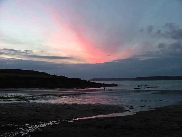
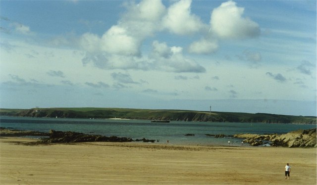
Whitesands Bay, also known as Whitedole Bay, is a picturesque beach located in Pembrokeshire, Wales. Situated on the western coast of Wales, it is a popular destination for both locals and tourists alike.
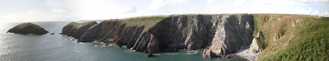
Whitesands Bay offers a stunning stretch of golden sand, stretching for approximately 1.5 miles. It is backed by towering cliffs and offers breathtaking views of the Atlantic Ocean. The beach is known for its clean and clear waters, making it ideal for swimming, surfing, and other water activities.
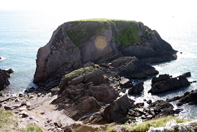
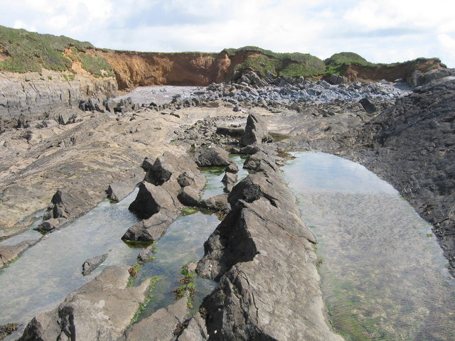
The bay is surrounded by natural beauty, with the Pembrokeshire Coast National Park providing a stunning backdrop. The area is home to diverse wildlife, including seabirds, seals, and occasionally dolphins. Visitors can enjoy scenic walks along the coastal path, exploring the rugged cliffs and hidden coves.
Facilities at Whitesands Bay cater to the needs of visitors, with ample parking spaces, public toilets, and a cafe serving refreshments. There is also a lifeguard station, ensuring the safety of beachgoers during the summer months.
Whitesands Bay is a blue flag beach, indicating its high standards of cleanliness and water quality. It has been awarded this prestigious status for several years, making it a highly desirable destination for those seeking a pristine and safe beach experience.
Overall, Whitedole Bay is a must-visit destination for nature lovers, beach enthusiasts, and those seeking a peaceful and scenic escape in Pembrokeshire.
If you have any feedback on the listing, please let us know in the comments section below.
Whitedole Bay Images
Images are sourced within 2km of 51.673237/-5.1144194 or Grid Reference SM8401. Thanks to Geograph Open Source API. All images are credited.


Whitedole Bay is located at Grid Ref: SM8401 (Lat: 51.673237, Lng: -5.1144194)
Unitary Authority: Pembrokeshire
Police Authority: Dyfed Powys
What 3 Words
///garden.pampered.migrants. Near Dale, Pembrokeshire
Nearby Locations
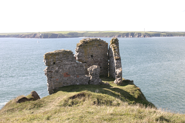
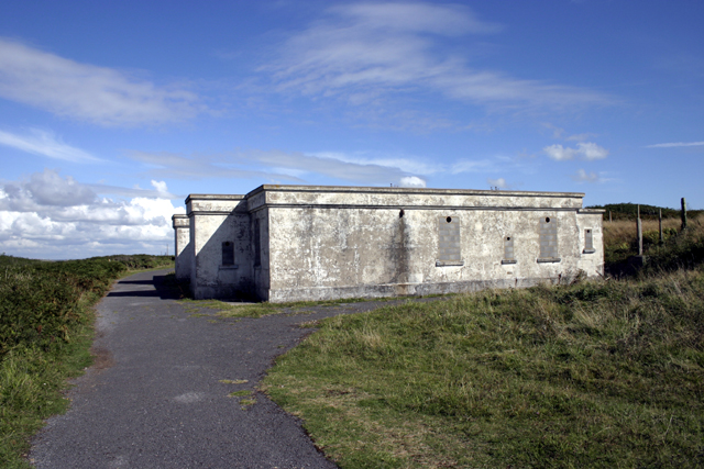
Related Wikis

RAF Angle
Royal Air Force Angle or more commonly RAF Angle, is a former Royal Air Force station located on the Angle Peninsula Coast, 8 miles (13 km) west of Pembroke...

East and West Blockhouses
The East and West Blockhouses were Device Forts built by King Henry VIII in 1539 to protect the harbour of Milford Haven in Wales. The two blockhouses...

Angle Peninsula Coast
The Angle Peninsula Coast on the southern side of the entrance to the Milford Haven Waterway in Pembrokeshire, Wales, is a Site of Special Scientific Interest...

Angle, Pembrokeshire
Angle (Welsh: Angl) is a village, parish and community on the southern side of the entrance to the Milford Haven Waterway in Pembrokeshire, Wales. The...

Thorne Island
Thorne Island is a rocky islet and part of the community of Angle, Pembrokeshire, Wales, with an area of 2 acres (8,100 m2), dominated by a coastal artillery...

Chapel Bay Fort
Chapel Bay Fort is located on the southern shore of the Milford Haven Waterway, Pembrokeshire, Wales. The fort is approximately 1 mile (1.6 km) from the...
Sailors' Chapel, Angle
Sailors' Chapel, Seamen's Chapel or Fishermen's Chapel is a Grade I listed building in Angle, Pembrokeshire, Wales. The chapel, which is dedicated to St...

Angle Lifeboat Station
Angle Lifeboat Station, Angle, Pembrokeshire, Wales, first opened in 1868 after a request from the local Coastguard for a lifeboat station to be opened...
Nearby Amenities
Located within 500m of 51.673237,-5.1144194Have you been to Whitedole Bay?
Leave your review of Whitedole Bay below (or comments, questions and feedback).