Beacon Cove
Bay in Cornwall
England
Beacon Cove
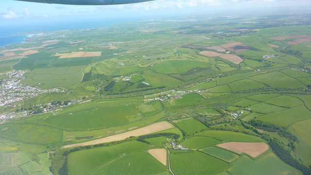
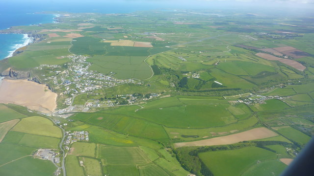
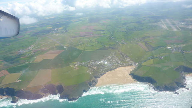
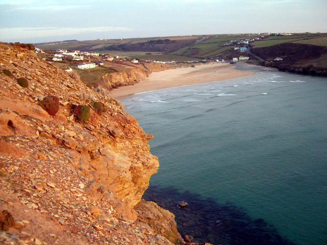
Beacon Cove, located in Cornwall, England, is a picturesque bay renowned for its natural beauty and historical significance. Situated along the South West Coast Path, this coastal gem offers visitors a unique combination of stunning landscapes and rich heritage.
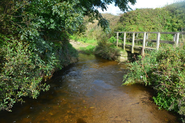
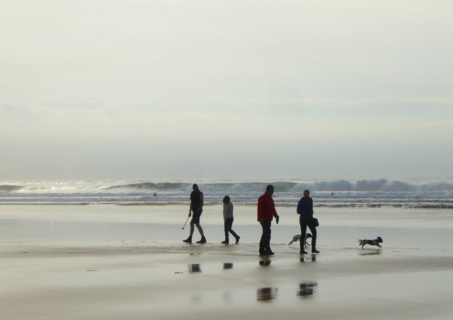
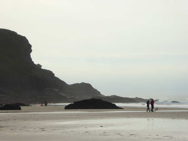
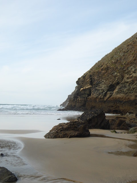
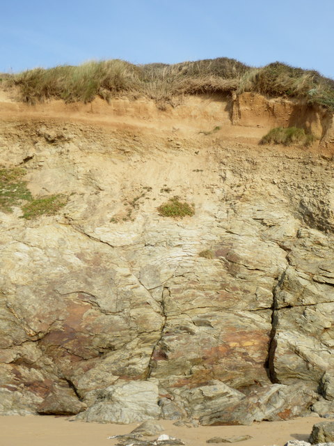
The cove itself is a small, secluded beach nestled between towering cliffs, providing a tranquil and intimate escape from the bustling crowds. Its golden sands and crystal-clear waters make it an ideal spot for sunbathing, swimming, and picnicking. The bay's sheltered location also makes it a popular spot for water sports enthusiasts, with opportunities for kayaking and paddleboarding.
Beacon Cove is steeped in history, dating back to the Bronze Age. The area is named after the beacon that was once lit on the cliffs to warn of approaching dangers. This historical significance is further highlighted by the presence of remnants of an Iron Age fort, which can still be explored by avid history buffs.
Nature lovers will be delighted by the diverse range of wildlife that can be spotted in and around the bay. Seals, dolphins, and various seabirds frequent the area, adding to the allure of this idyllic coastal haven.
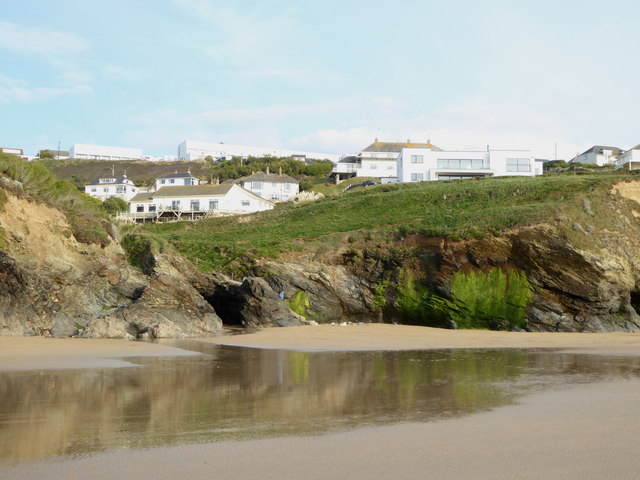
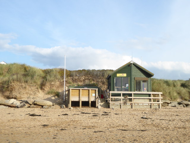
Access to Beacon Cove is relatively easy, with a convenient car park nearby and a short walk down to the beach. Facilities such as toilets and a café can also be found in close proximity, providing visitors with necessary amenities.
In summary, Beacon Cove, Cornwall is a captivating destination that seamlessly combines natural beauty, historical intrigue, and a sense of tranquility.
If you have any feedback on the listing, please let us know in the comments section below.
Beacon Cove Images
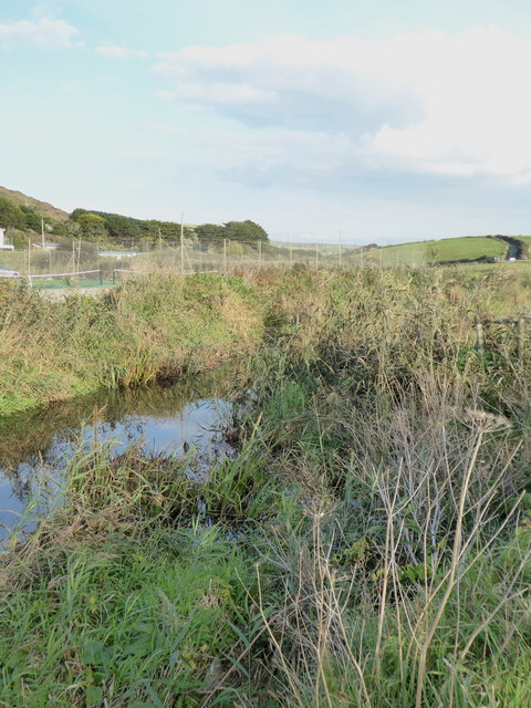
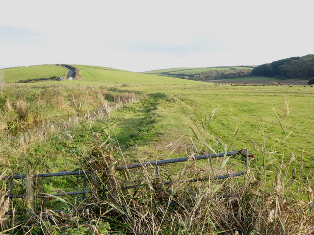
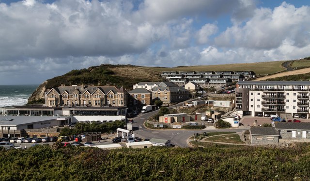
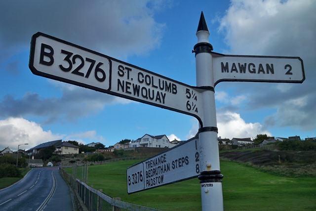
Images are sourced within 2km of 50.460274/-5.0399043 or Grid Reference SW8466. Thanks to Geograph Open Source API. All images are credited.


Beacon Cove is located at Grid Ref: SW8466 (Lat: 50.460274, Lng: -5.0399043)
Unitary Authority: Cornwall
Police Authority: Devon and Cornwall
What 3 Words
///views.poorly.sprayer. Near Newquay, Cornwall
Nearby Locations
Related Wikis

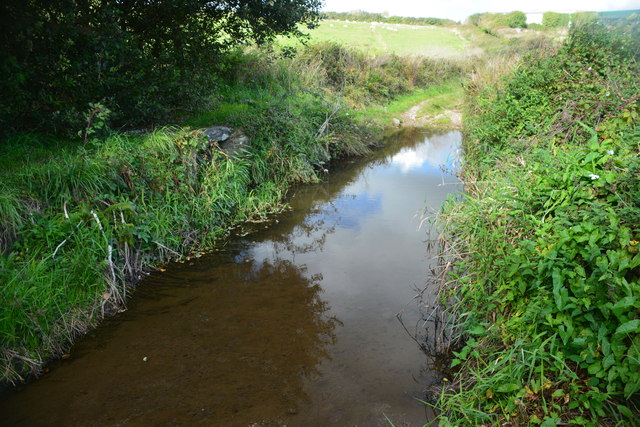
River Menalhyl
The River Menalhyl (Cornish: Dowr Melynheyl, meaning river of the estuary mill) is a river in Cornwall, England, that flows through the civil parishes...

St Columb Canal
St Columb Canal sometimes referred to as Edyvean's Canal, was an abortive canal scheme in Cornwall, England, designed for the carriage of sea sand for...
Mawgan Porth
Mawgan Porth (in Cornish: Porth Maugan, meaning "St. Mawgan's cove", or Porth Glyvyan, meaning "cove of the Gluvian River") is a beach and small settlement...
Trevarrian
Trevarrian pronounced (Tre-Varrion) is a hamlet south of Mawgan Porth, Cornwall, England, United Kingdom. == Cheese == St. Endellion is a brie style cheese...
Nearby Amenities
Located within 500m of 50.460274,-5.0399043Have you been to Beacon Cove?
Leave your review of Beacon Cove below (or comments, questions and feedback).