Beacon Cove
Bay in Cornwall
England
Beacon Cove

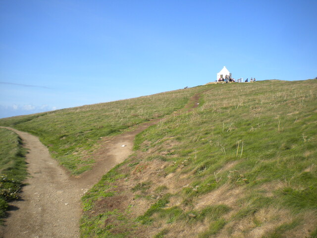
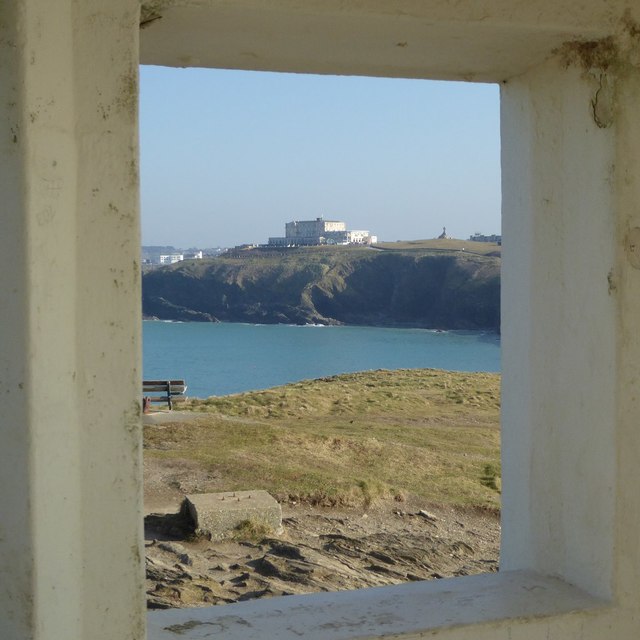
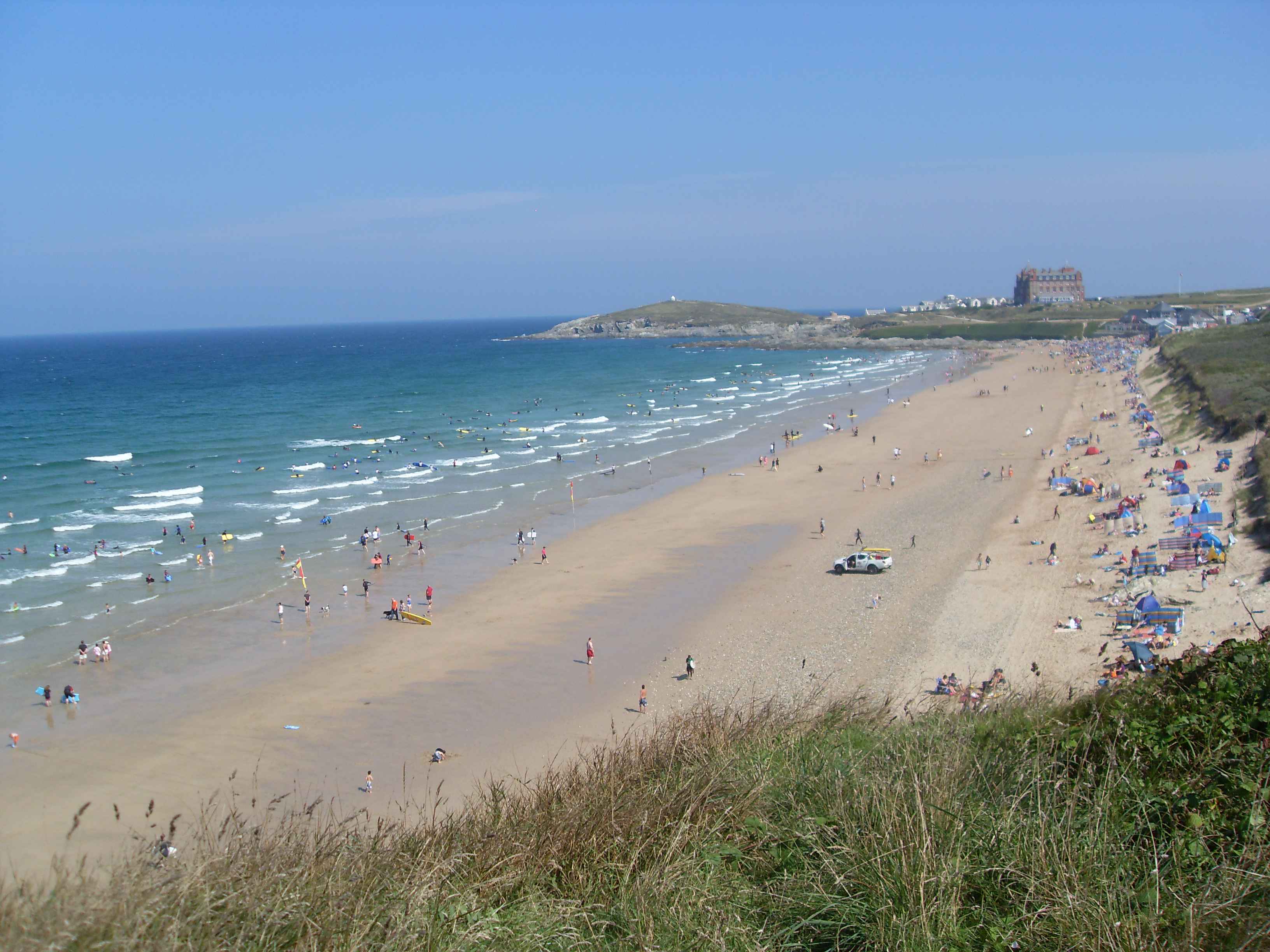
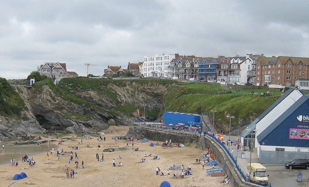
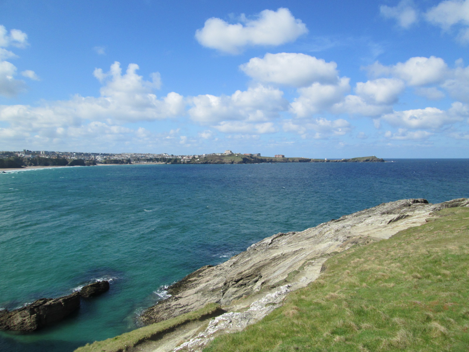
Beacon Cove is a picturesque bay located in Cornwall, England. Nestled on the southern coastline, it offers stunning views of the English Channel and is a popular destination for tourists and locals alike. With its golden sandy beach and crystal-clear turquoise waters, it is often considered one of the most beautiful and tranquil spots in the region.
Surrounded by rugged cliffs and lush greenery, Beacon Cove provides a sense of seclusion and tranquility. The bay is accessible via a steep path leading down from the cliff top, adding to its charm and exclusivity. The beach is relatively small but offers ample space for sunbathing, picnicking, and enjoying a refreshing swim on warm summer days.
Beacon Cove is known for its calm waters, making it a perfect spot for families with children to enjoy a day at the beach. The bay is also a haven for water sports enthusiasts, with opportunities for paddleboarding, kayaking, and snorkeling.
The area around Beacon Cove is rich in wildlife, with various seabirds and marine life often spotted in the vicinity. Exploring the rock pools during low tide can reveal a diverse array of fascinating creatures, adding an educational element to any visit.
Facilities at Beacon Cove include a small café serving refreshments and snacks, as well as public toilets and limited parking nearby. The bay is within walking distance of the town center, making it easily accessible for visitors.
All in all, Beacon Cove is a hidden gem in Cornwall, offering natural beauty, tranquility, and a range of activities for visitors to enjoy.
If you have any feedback on the listing, please let us know in the comments section below.
Beacon Cove Images
Images are sourced within 2km of 50.420499/-5.0919572 or Grid Reference SW8062. Thanks to Geograph Open Source API. All images are credited.


Beacon Cove is located at Grid Ref: SW8062 (Lat: 50.420499, Lng: -5.0919572)
Unitary Authority: Cornwall
Police Authority: Devon and Cornwall
What 3 Words
///bachelor.interview.effort. Near Newquay, Cornwall
Nearby Locations
Related Wikis
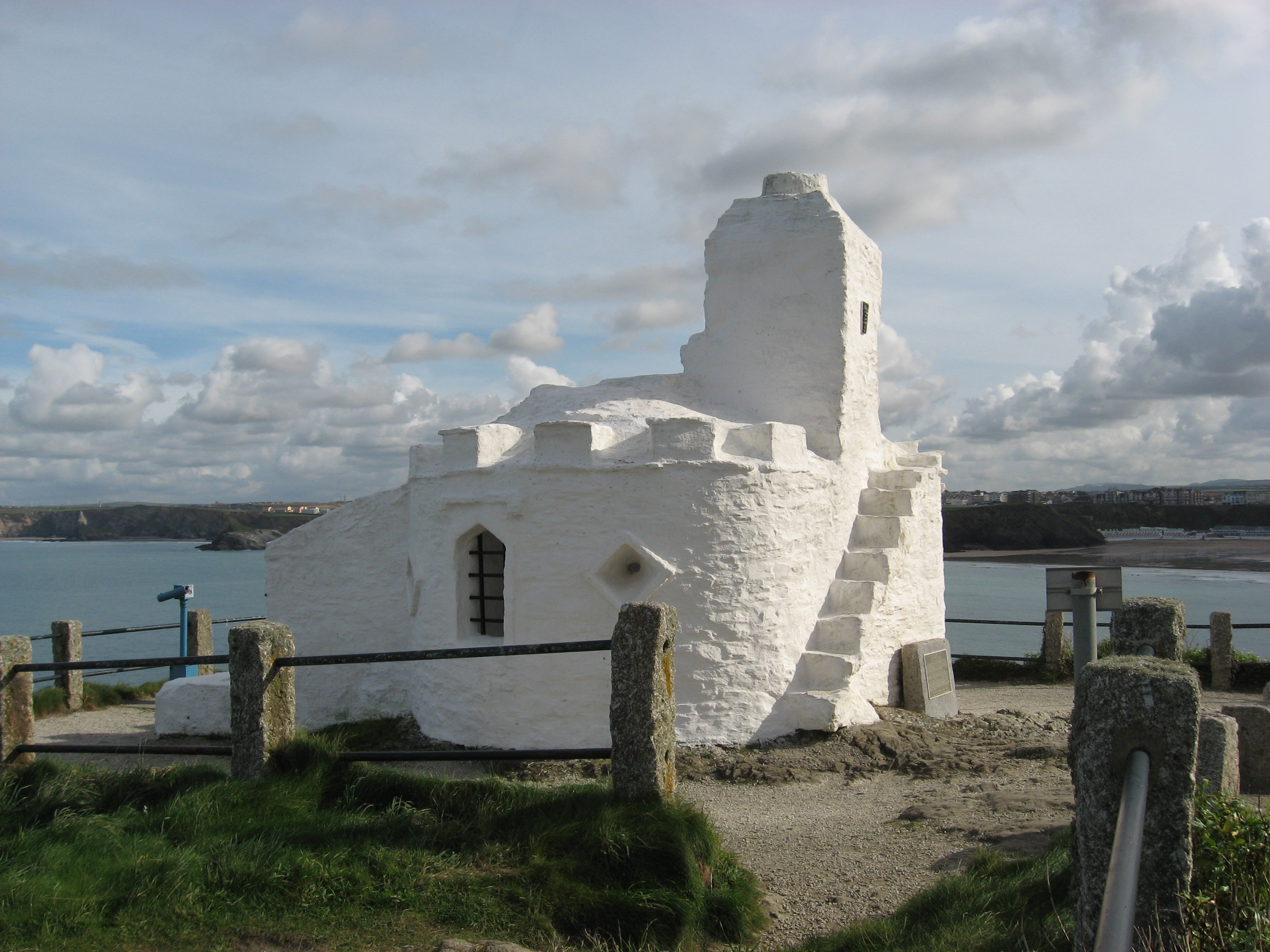
Huer's Hut
The Huer's Hut is a listed building in Newquay, Cornwall, England. It may date from the 14th century and have originally seen use as a hermitage and lighthouse...

Atlantic Hotel, Newquay
The Atlantic Hotel is in Newquay, Cornwall, United Kingdom. It was first opened in July 1892 and occupies a prominent position on the shore, with views...

Headland Hotel
The Headland Hotel is a Grade II listed building located in Newquay, Cornwall, England, United Kingdom. It was opened in June 1900 and is built on a prominent...

Cribbar
The Cribbar (Cornish - kribow: reefs), also known as the Widow Maker, is a reef off the Towan Headland in Newquay, Cornwall, England, United Kingdom. The...

Towan Head
Towan Head (Cornish: Penn Tewyn) is a headland one mile west of Newquay on the north coast of Cornwall, England, United Kingdom. It is at the western end...
Fistral Beach
Fistral Beach is in Fistral Bay (Standard Written Form: Porth an Vystel, meaning cove of the foul water) on the north coast of Cornwall, England, United...
Penhallow Hotel fire
The Penhallow Hotel fire was a suspected arson attack that occurred in Newquay, Cornwall on 18 August 2007. Three people were killed and it was reported...
Newquay Bay
Newquay Bay is a bay adjacent to Newquay in Cornwall, England. The bay is about 2.5 kilometres (1.6 mi) wide, from Towan Head in the west to Trevelgue...
Nearby Amenities
Located within 500m of 50.420499,-5.0919572Have you been to Beacon Cove?
Leave your review of Beacon Cove below (or comments, questions and feedback).