Welshman's Bay
Bay in Pembrokeshire
Wales
Welshman's Bay
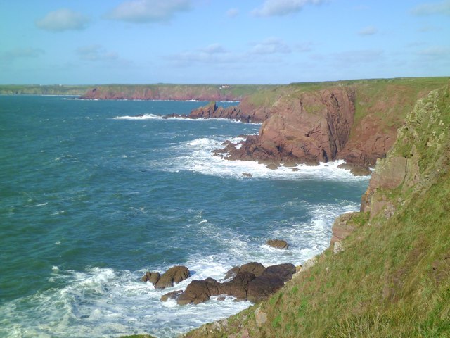
![Little Castle Point Atlantic surf breaking over rocks at the foot of cliffs at Little Castle Point. Out to sea is the island of Skokholm with the white lighthouse just visible at the left [SW] end.](https://s0.geograph.org.uk/geophotos/03/76/25/3762592_e7711935.jpg)
Welshman's Bay is a picturesque coastal area located in Pembrokeshire, a county in southwest Wales. Nestled on the southern side of the St. Bride's Bay, this bay offers stunning natural beauty and a tranquil atmosphere, making it a popular destination for both locals and tourists.
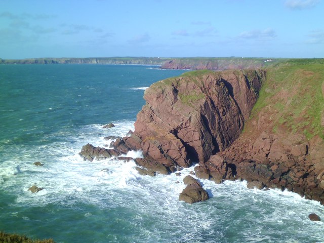
The bay itself is characterized by its sandy beach, backed by rugged cliffs and dunes. The golden sands stretch for approximately 300 meters and are perfect for sunbathing, picnicking, or enjoying a leisurely stroll along the shore. At low tide, the beach expands, providing ample space for activities such as beach games and sandcastle building.
The bay is also known for its crystal-clear waters, which are ideal for swimming, surfing, and other water sports. The bay's location offers some protection from strong swells, making it a suitable spot for beginners to learn how to surf or paddleboard.
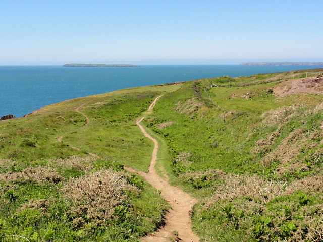
Surrounded by a stunning natural environment, Welshman's Bay is home to diverse wildlife, including seabirds, seals, and occasional dolphins. Nature enthusiasts can explore the nearby cliffs and coastal paths, which offer breathtaking views of the bay and the surrounding countryside.
Facilities at Welshman's Bay are limited, with no shops or cafes directly on the beach. However, a short walk away, visitors can find amenities such as parking, toilets, and a café in the nearby town of Little Haven.
Overall, Welshman's Bay is a hidden gem in Pembrokeshire, offering a peaceful and unspoiled coastal experience for those seeking natural beauty and outdoor activities.
If you have any feedback on the listing, please let us know in the comments section below.
Welshman's Bay Images
Images are sourced within 2km of 51.693258/-5.187781 or Grid Reference SM7904. Thanks to Geograph Open Source API. All images are credited.
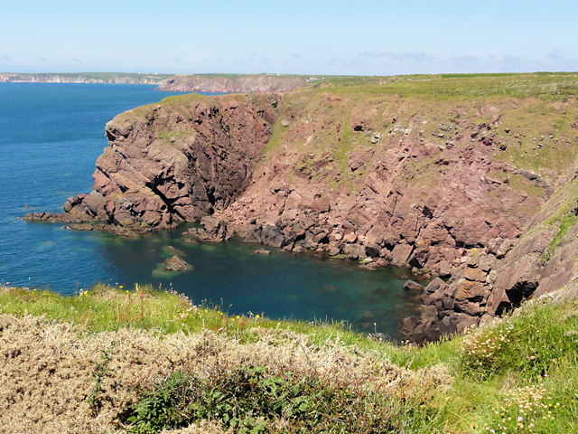
![Long Point A blustery day on the Pembrokeshire Coast Path, with big seas, blue skies and widespread views including the islands of Skokholm [left], Skomer [right of centre], and with distant Grassholm just visible between the two.](https://s3.geograph.org.uk/geophotos/03/76/26/3762619_fd8154fe.jpg)


Welshman's Bay is located at Grid Ref: SM7904 (Lat: 51.693258, Lng: -5.187781)
Unitary Authority: Pembrokeshire
Police Authority: Dyfed Powys
What 3 Words
///classmate.surging.expires. Near Dale, Pembrokeshire
Nearby Locations
Related Wikis
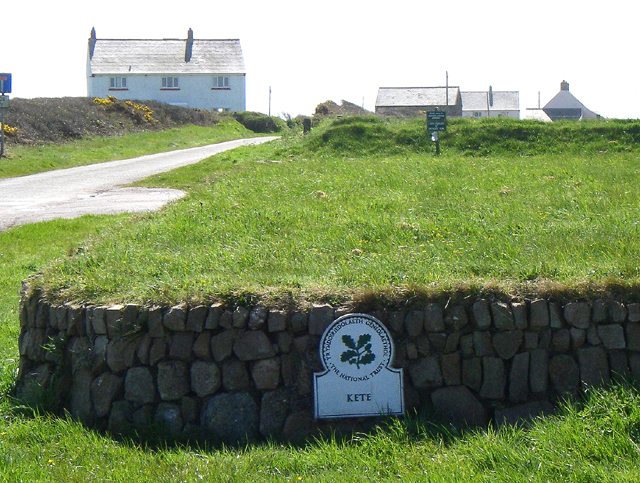
HMS Harrier (shore establishment)
HMS Harrier was a shore establishment of the Royal Navy, located at Kete, Pembrokeshire. It was commissioned on 1 February 1948 and was the home of the...

St Ann's Head Lighthouse
St. Ann's Head Lighthouse is a lighthouse that overlooks the entrance to the Milford Haven waterway, one of Britain's deep water harbours, from St. Ann...

Sea Empress oil spill
The Sea Empress oil spill occurred at the entrance to the Milford Haven Waterway in Pembrokeshire, Wales on 16 February 1996. The Sea Empress was en route...

Dale Castle
Dale Castle is a 13th-century castle located close to the village of Dale in Pembrokeshire, Wales. In 1910, part of the castle was removed and other parts...

West Blockhouse Fort
West Blockhouse Fort is a mid-19th century coastal artillery fort at West Blockhouse Point, a rocky headland near Dale, Pembrokeshire, to the west of Milford...

Dale, Pembrokeshire
Dale is both a small village and a community in Pembrokeshire, Wales, located on the peninsula which forms the northern side of the entrance to the Milford...
Watwick Point Beacon
Watwick Point Beacon is a leading light, which is a type of lighthouse, located near Dale, Pembrokeshire, in Wales. It is designed to lead ships into Milford...
MV Sea Empress
The MV Sea Empress was a single-hull Suezmax oil tanker that ran aground at the entrance to the Milford Haven harbour on the southwest coast of Wales in...
Nearby Amenities
Located within 500m of 51.693258,-5.187781Have you been to Welshman's Bay?
Leave your review of Welshman's Bay below (or comments, questions and feedback).