Port Luinge
Bay in Ross-shire
Scotland
Port Luinge
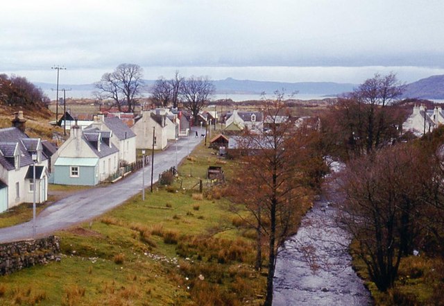
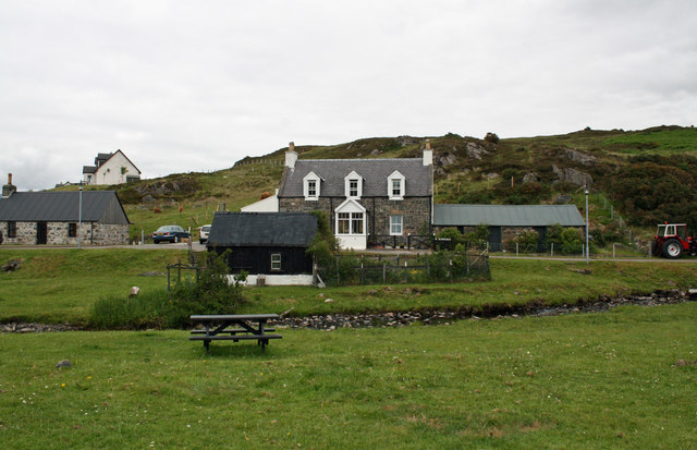
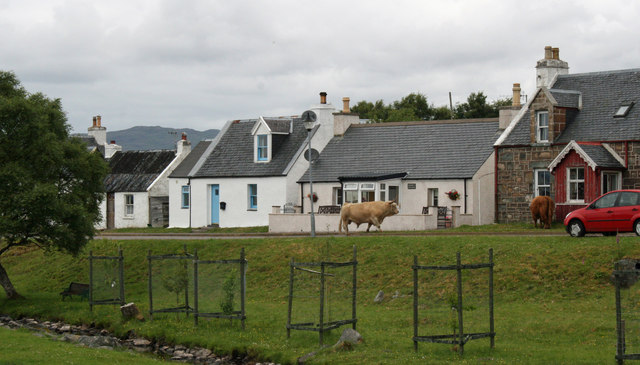
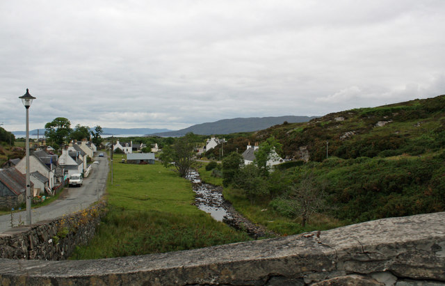
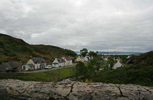
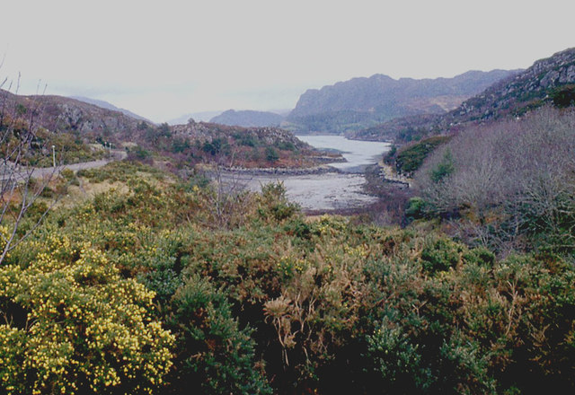
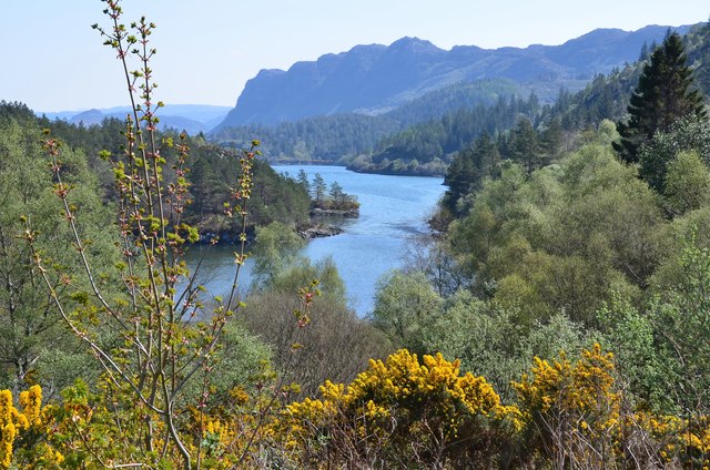
Port Luinge is a small coastal village located in Ross-shire, Scotland. Situated on the shores of the beautiful Bay of Luinge, it offers breathtaking views and a serene atmosphere that attracts tourists and locals alike.
The village is known for its picturesque harbor, which serves as a hub for fishing and boating activities. The bay itself is surrounded by rolling hills and cliffs, creating a stunning backdrop for outdoor enthusiasts and nature lovers. The crystal-clear waters of the bay also provide opportunities for swimming, snorkeling, and other water-based recreational activities.
Port Luinge is a tight-knit community with a population of around 200 residents. The village is home to a few local businesses, including a small grocery store, a pub, and a café, providing essential amenities for both residents and visitors.
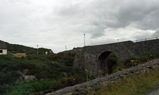
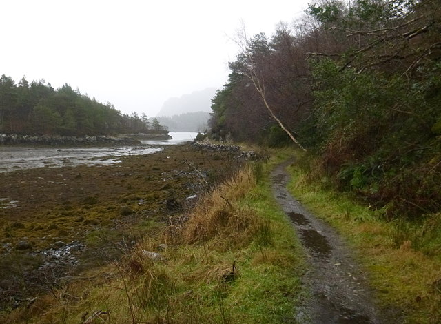
The area surrounding Port Luinge is rich in history and offers various archaeological sites worth exploring. The ruins of an ancient fort can be found atop a nearby hill, offering panoramic views of the bay and its surroundings.
For those seeking outdoor adventures, the village serves as a gateway to the stunning Scottish Highlands. Hiking trails, including the renowned West Highland Way, can be accessed from Port Luinge, allowing visitors to immerse themselves in the rugged beauty of the region.
Overall, Port Luinge is a hidden gem on Scotland's west coast, offering natural beauty, tranquility, and a warm community atmosphere for visitors and residents to enjoy.
If you have any feedback on the listing, please let us know in the comments section below.
Port Luinge Images
Images are sourced within 2km of 57.329506/-5.6820668 or Grid Reference NG7832. Thanks to Geograph Open Source API. All images are credited.


Port Luinge is located at Grid Ref: NG7832 (Lat: 57.329506, Lng: -5.6820668)
Unitary Authority: Highland
Police Authority: Highlands and Islands
What 3 Words
///flagged.carpeted.install. Near Kyleakin, Highland
Related Wikis

Port an Eòrna
Port an Eòrna is the Scottish Gaelic name for the small settlement of Barleyport, situated almost midway between Plockton and the Kyle of Lochalsh, in...

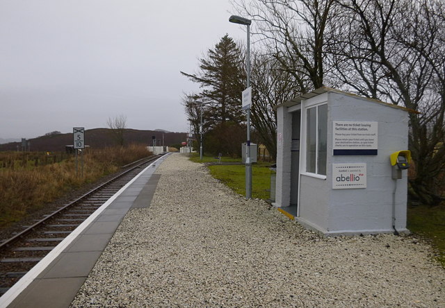
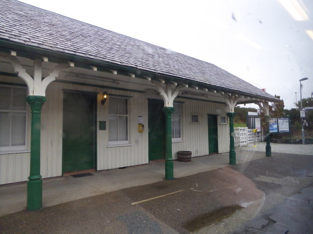
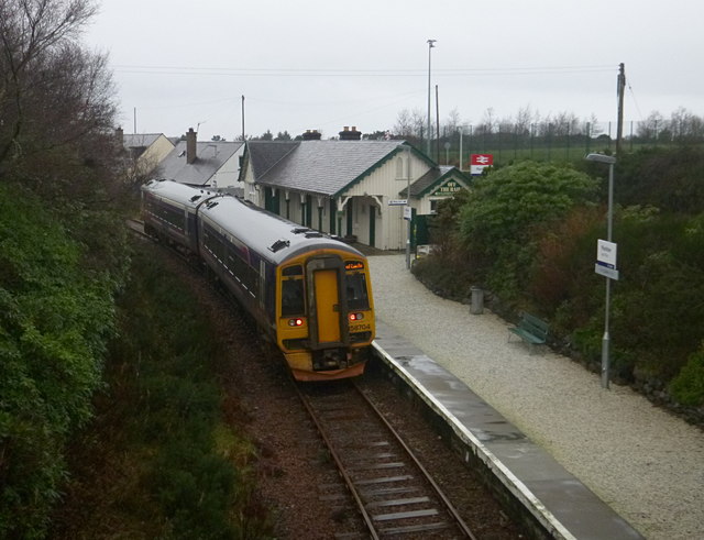
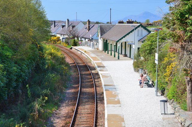
Plockton railway station
Plockton railway station is a railway station on the Kyle of Lochalsh Line, serving the village of Plockton in the Highlands, north-west Scotland. The...

Plockton High School
Plockton High School is a 221-pupil high school in the village of Plockton, Scotland. The catchment area for the school stretches from Applecross in the...

Duirinish railway station
Duirinish railway station is a remote railway station on the Kyle of Lochalsh Line near the settlement of Duirinish in the Highlands, northern Scotland...
Nearby Amenities
Located within 500m of 57.329506,-5.6820668Have you been to Port Luinge?
Leave your review of Port Luinge below (or comments, questions and feedback).