Ogof Morlanod
Bay in Pembrokeshire
Wales
Ogof Morlanod
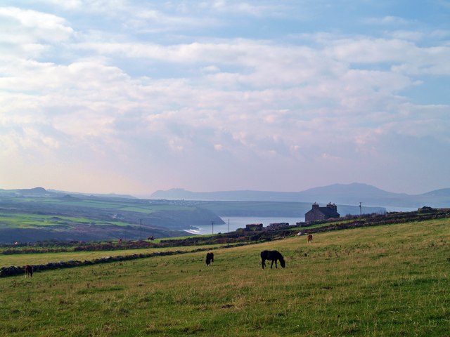
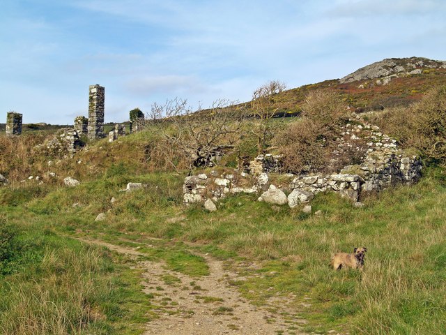
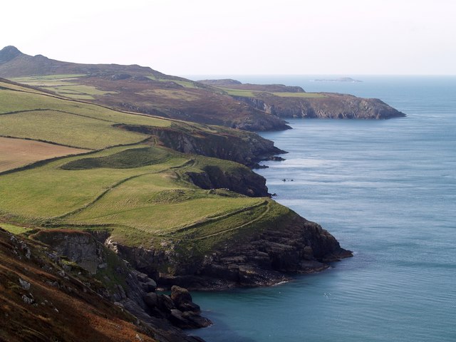
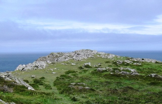
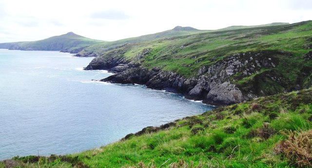
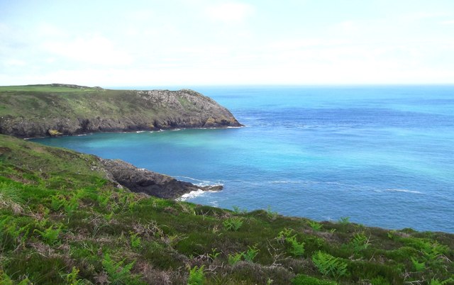
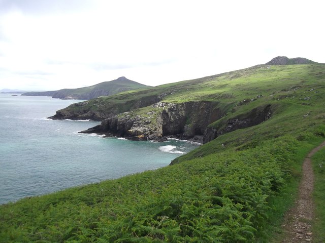
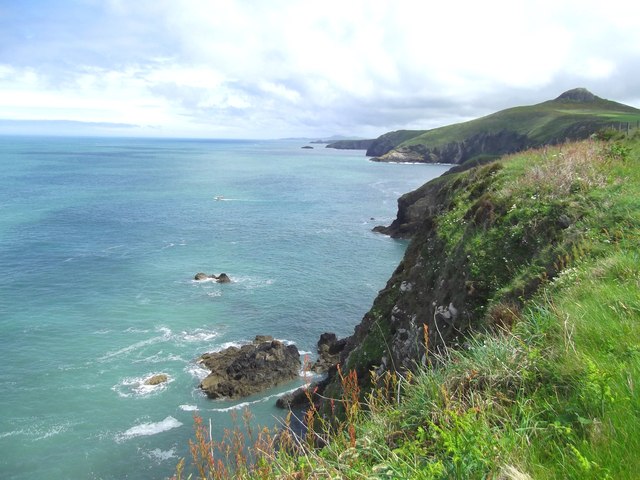
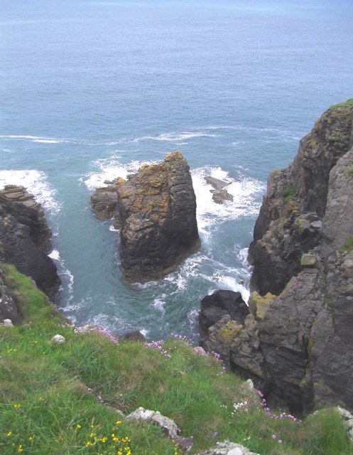
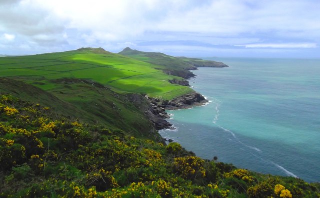
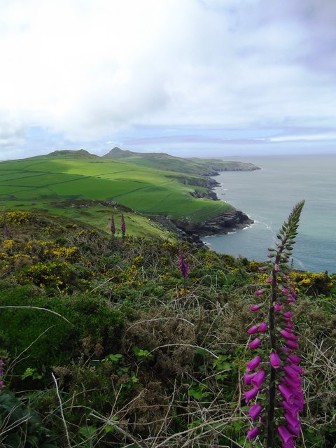
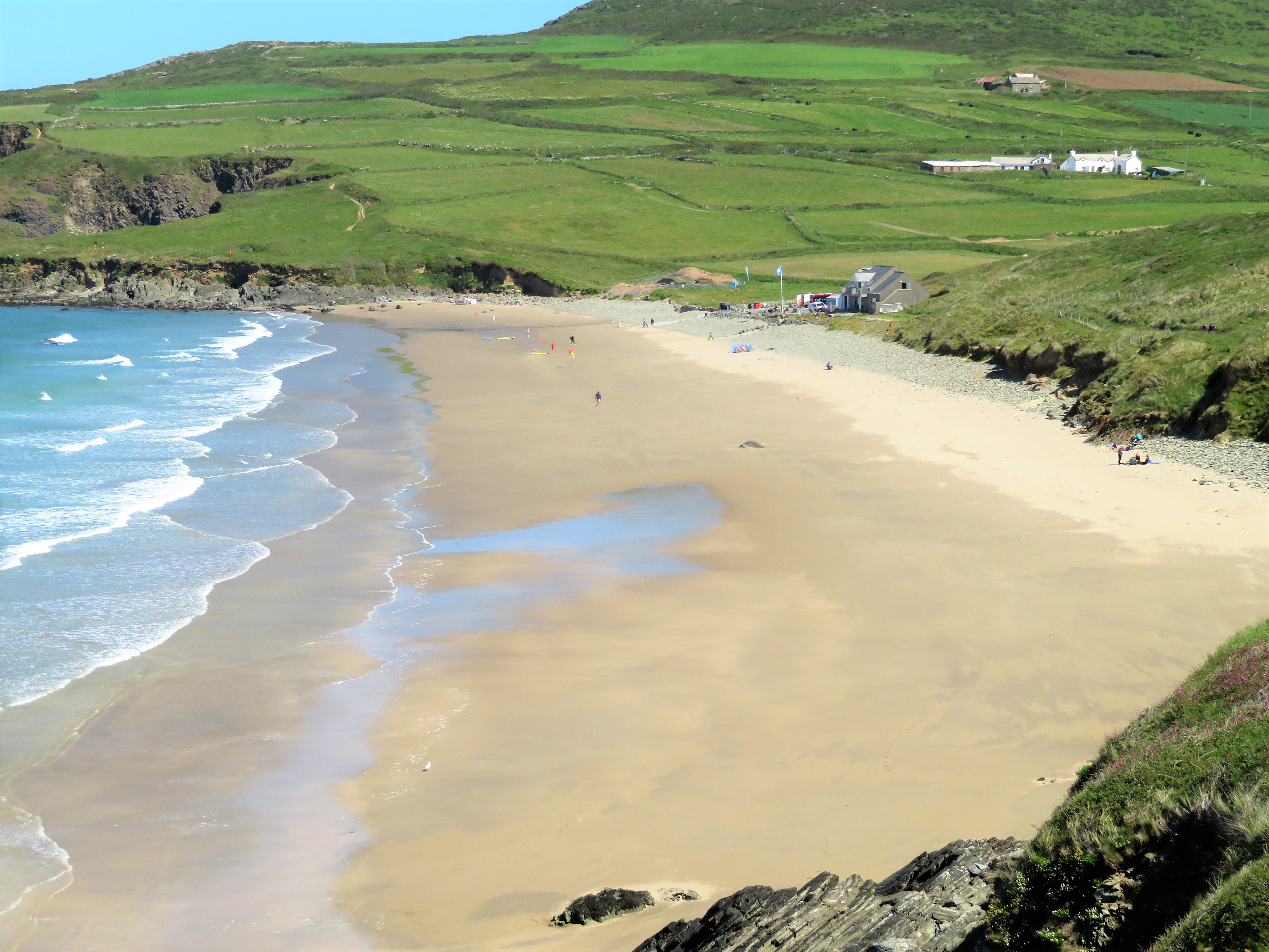
Ogof Morlanod, also known as Morlanod Bay, is a picturesque bay located in Pembrokeshire, Wales. The bay is known for its stunning natural beauty, with rugged cliffs, sandy beaches, and crystal-clear waters.
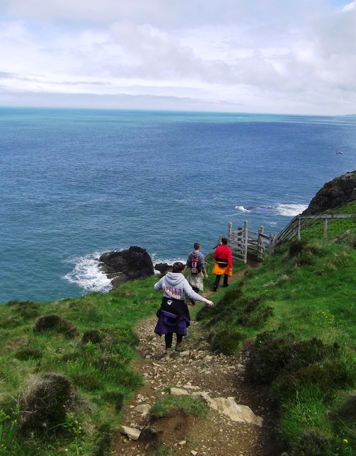
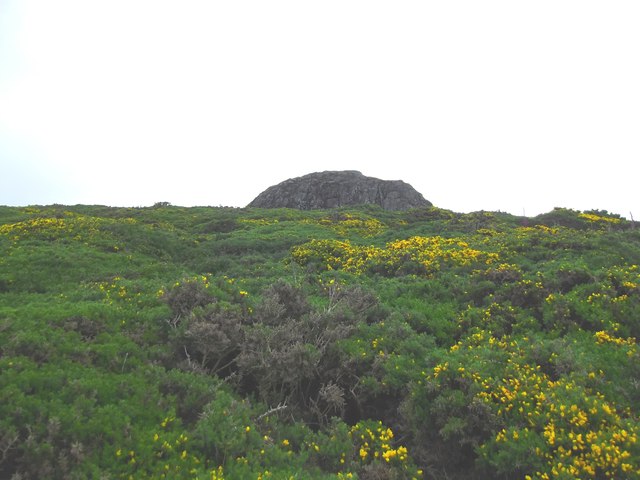
The bay is surrounded by lush greenery and is a popular destination for outdoor enthusiasts, offering opportunities for hiking, bird watching, and wildlife spotting. Visitors can also enjoy water activities such as swimming, kayaking, and paddleboarding in the bay's calm waters.
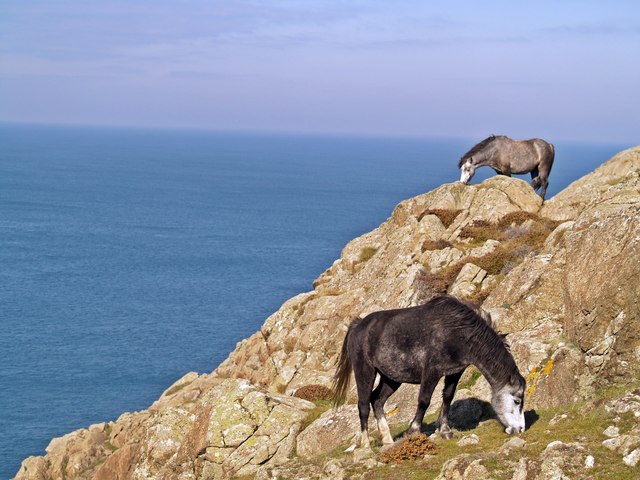
Ogof Morlanod is home to a variety of marine life, including seals, dolphins, and a wide range of seabirds. The bay is also a designated Special Area of Conservation, protecting its diverse ecosystem and ensuring its preservation for future generations to enjoy.
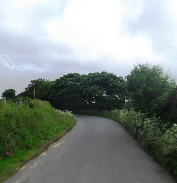
Visitors to Ogof Morlanod can explore the coastal paths that wind along the cliffs, offering breathtaking views of the bay and the surrounding countryside. The bay is a peaceful and tranquil spot, perfect for relaxation and connecting with nature.
If you have any feedback on the listing, please let us know in the comments section below.
Ogof Morlanod Images
Images are sourced within 2km of 51.914611/-5.2656391 or Grid Reference SM7529. Thanks to Geograph Open Source API. All images are credited.

Ogof Morlanod is located at Grid Ref: SM7529 (Lat: 51.914611, Lng: -5.2656391)
Unitary Authority: Pembrokeshire
Police Authority: Dyfed Powys
What 3 Words
///arrival.dared.escapades. Near St Davids, Pembrokeshire
Nearby Locations
Related Wikis

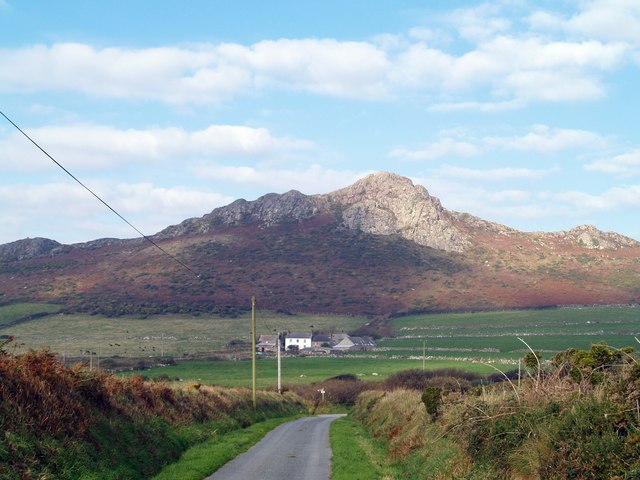
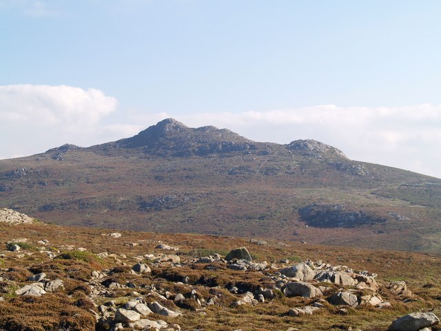
Carn Llidi
Carn Llidi is a hill east of St David's Head in Pembrokeshire, Wales. Carn Llidi and its surrounding area is part of the Pembrokeshire Coast National Park...

Dowrog Common
Dowrog Common (Welsh: Comin Dowrog) is a Site of Special Scientific Interest (or SSSI) in Pembrokeshire, South Wales. It has been designated as a Site...
Whitesands Bay (Pembrokeshire)
Whitesands Bay (Welsh: Porth Mawr) is a Blue Flag beach situated on the St David's peninsula in the Pembrokeshire Coast National Park, Wales. Whitesand...
Penrhiw Priory
Penrhiw Priory was originally built as a vicarage in St Davids, Pembrokeshire, Wales, in 1884. The building was enlarged in the 1960s, serving for a time...
Have you been to Ogof Morlanod?
Leave your review of Ogof Morlanod below (or comments, questions and feedback).