Ogof Cwm
Bay in Pembrokeshire
Wales
Ogof Cwm

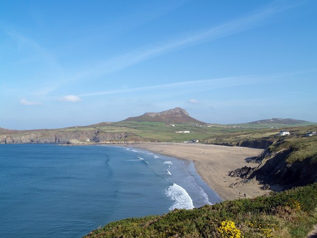
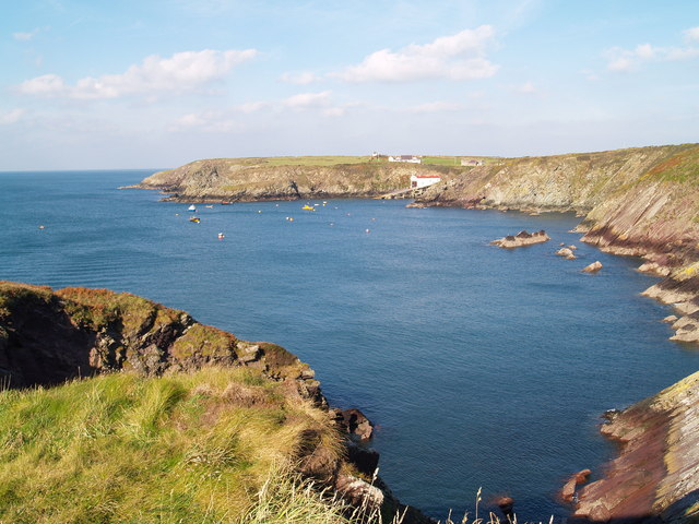
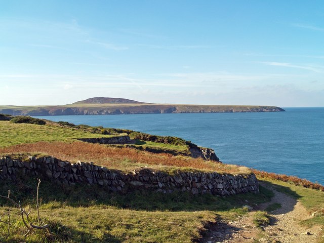
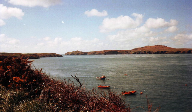
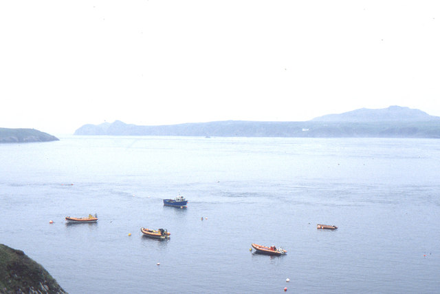
Ogof Cwm is a small bay located in Pembrokeshire, Wales. Situated along the rugged coastline of the Pembrokeshire Coast National Park, this picturesque bay offers stunning views and a tranquil atmosphere.
The bay is surrounded by towering cliffs that provide a dramatic backdrop to the sandy beach and crystal-clear waters. The area is known for its natural beauty and is a popular spot for outdoor enthusiasts, including hikers, walkers, and birdwatchers.
Ogof Cwm is also home to a diverse range of wildlife, making it an ideal destination for nature lovers. Seals, dolphins, and various species of seabirds can often be spotted along the coastline and in the surrounding waters.
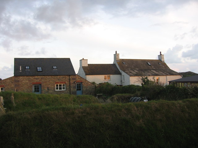
The bay is easily accessible by car, with a small parking area available nearby. From there, visitors can take a short walk down to the beach, where they can enjoy the peacefulness and natural beauty of the area. The beach is relatively secluded and offers a sense of tranquility, making it a perfect spot for relaxation and unwinding.
Overall, Ogof Cwm is a hidden gem along the Pembrokeshire coastline, offering visitors a chance to immerse themselves in the breathtaking beauty of nature. Whether it's taking a leisurely stroll along the beach, exploring the cliffs, or simply enjoying the peaceful surroundings, this bay provides a memorable experience for all who visit.
If you have any feedback on the listing, please let us know in the comments section below.
Ogof Cwm Images
Images are sourced within 2km of 51.887096/-5.3113617 or Grid Reference SM7226. Thanks to Geograph Open Source API. All images are credited.


Ogof Cwm is located at Grid Ref: SM7226 (Lat: 51.887096, Lng: -5.3113617)
Unitary Authority: Pembrokeshire
Police Authority: Dyfed Powys
What 3 Words
///award.growl.rooftop. Near St Davids, Pembrokeshire
Nearby Locations
Related Wikis

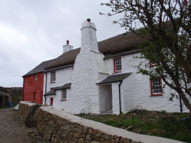
St Justinian's Chapel
St Justinian's Chapel in Pembrokeshire, Wales, is now a roofless shell; the current structure was probably erected in the 16th century on earlier foundations...
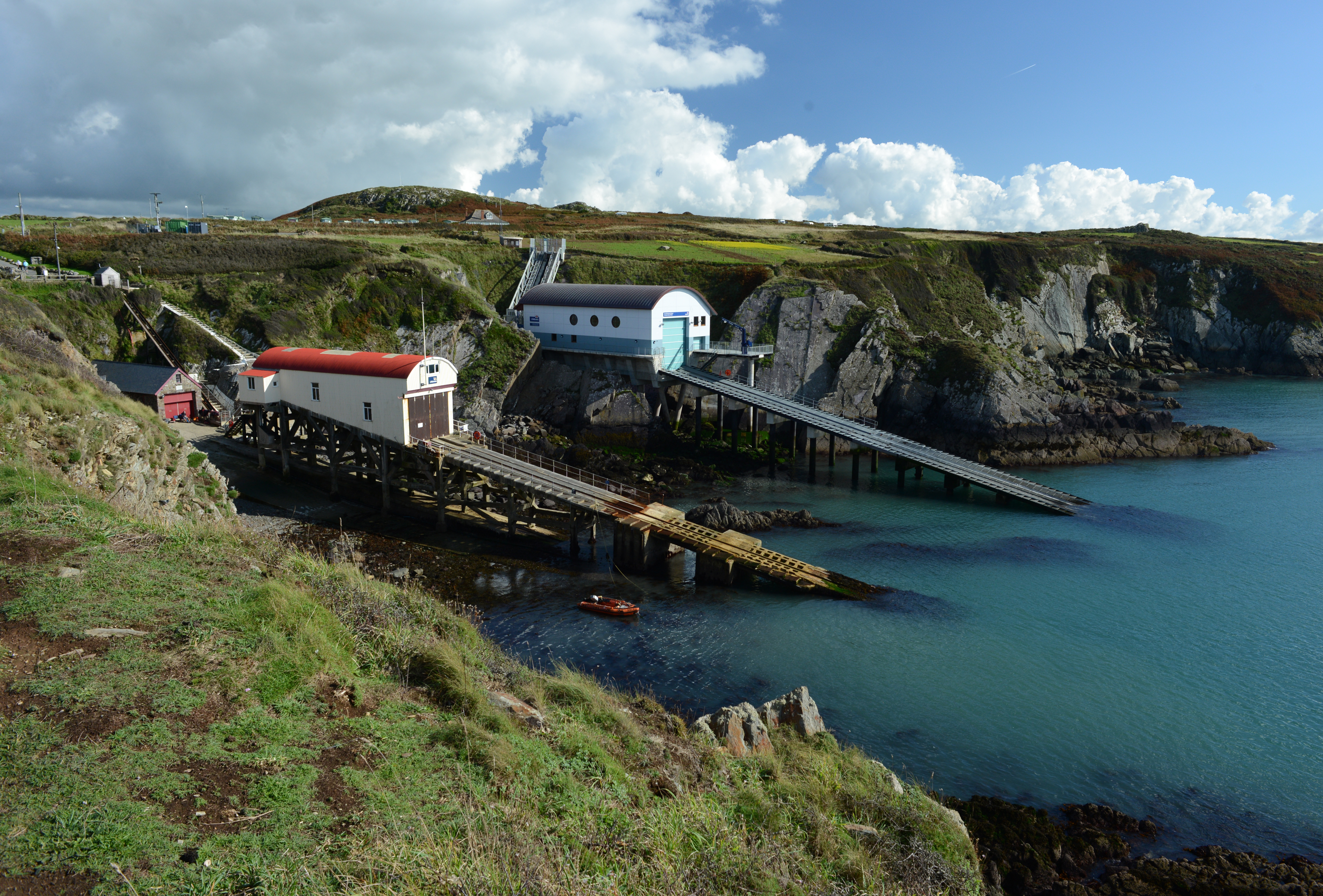
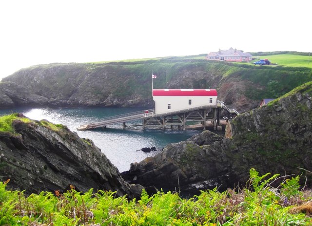
St Davids Lifeboat Station
St Davids Lifeboat Station (based in St Justinian, St Davids, Pembrokeshire, Wales) is a Royal National Lifeboat Institution (RNLI) station. It was opened...

St Justinian
St Justinian (or St Justinian's or St Justinians; Welsh: Porth Stinan) is a coastal location of indeterminate area in the extreme northwest of Pembrokeshire...
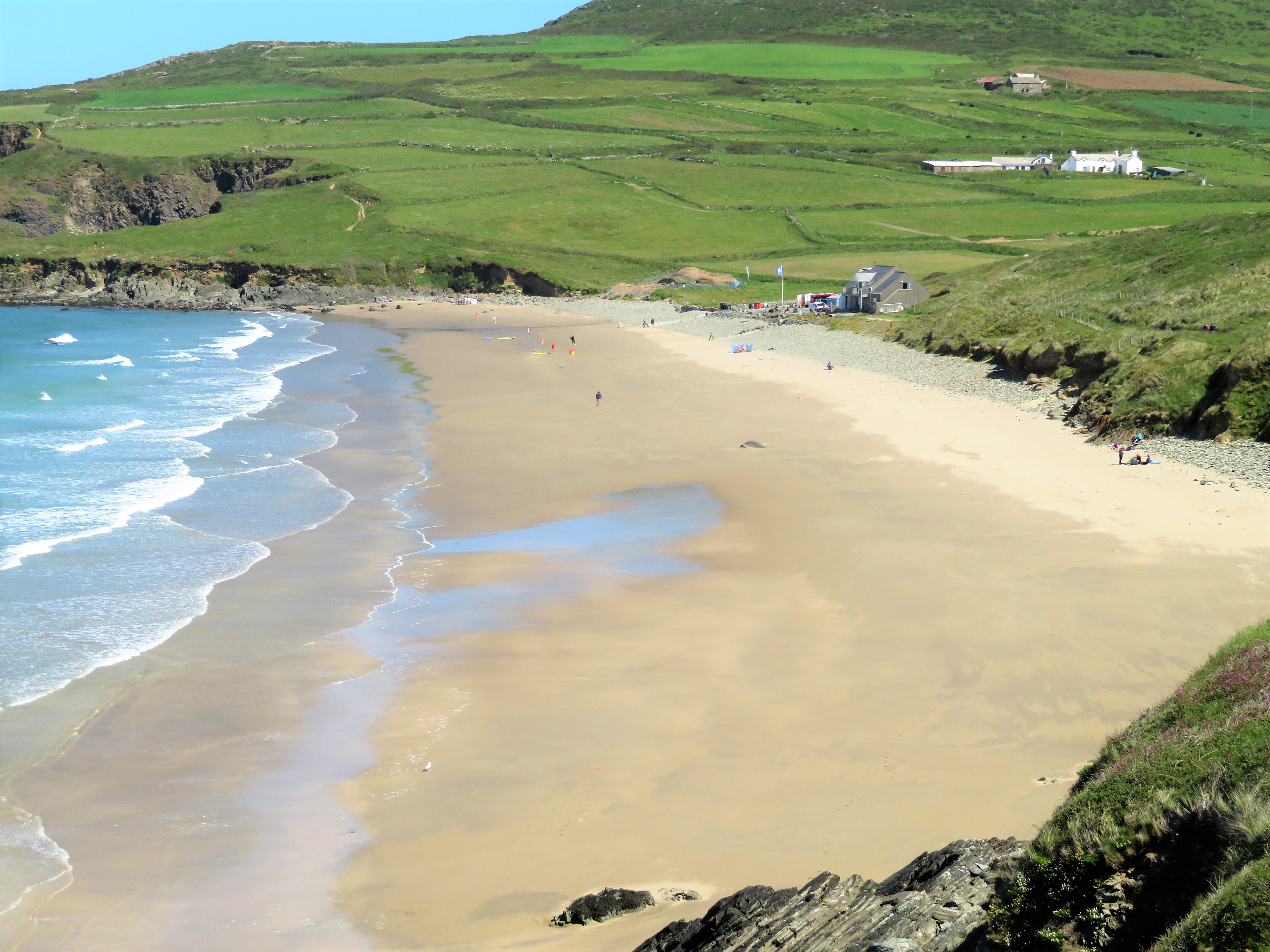
Whitesands Bay (Pembrokeshire)
Whitesands Bay (Welsh: Porth Mawr) is a Blue Flag beach situated on the St David's peninsula in the Pembrokeshire Coast National Park, Wales. Whitesand...
Nearby Amenities
Located within 500m of 51.887096,-5.3113617Have you been to Ogof Cwm?
Leave your review of Ogof Cwm below (or comments, questions and feedback).