Little Ryton

Settlement in Shropshire

England

Little Ryton

Gonsal Quarry Sand and gravel quarry to the south of Condover.
Gonsal Quarry Credit: TCExplorer

Little Ryton is a small village located in the picturesque county of Shropshire, England. Situated in the western part of the county, it is nestled in a serene rural setting, surrounded by rolling hills and lush green fields. The village is part of the larger civil parish of Ryton, which includes the nearby village of Great Ryton.

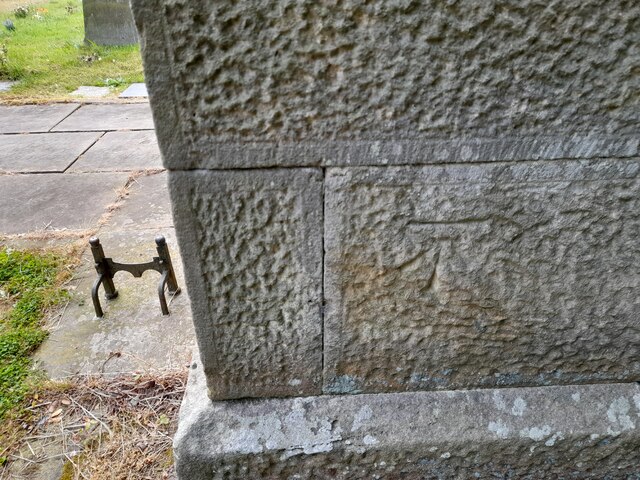
With a population of just over 300 residents, Little Ryton exudes a charming and close-knit community atmosphere. The village is predominantly residential, with a scattering of traditional stone cottages and newer houses. The architecture reflects the area's rich history, with some buildings dating back several centuries.

Despite its small size, Little Ryton boasts a number of amenities for its residents. The village has a local pub, The Ryton Arms, which serves as a gathering place for both locals and visitors. Additionally, there is a village hall that hosts various community events and activities throughout the year.

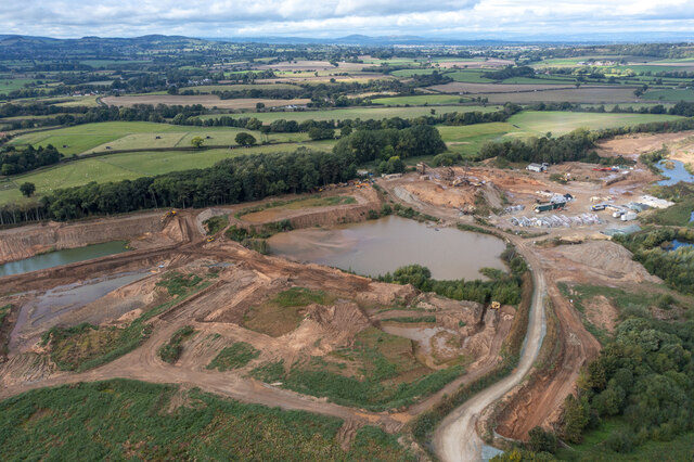
Surrounded by beautiful countryside, Little Ryton offers plenty of opportunities for outdoor pursuits. The area is known for its scenic walking trails and cycling routes, providing residents with a chance to connect with nature and enjoy the stunning views. The nearby River Severn also offers opportunities for fishing and boating enthusiasts.

Overall, Little Ryton is a tranquil and idyllic village, perfect for those seeking a peaceful and rural lifestyle. Its friendly community, picturesque setting, and access to nature make it a highly desirable place to live or visit in Shropshire.

If you have any feedback on the listing, please let us know in the comments section below.
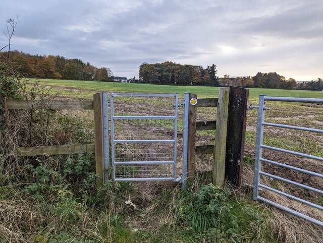
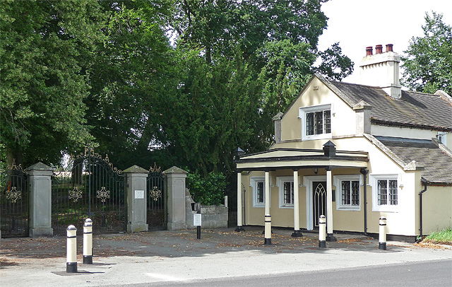
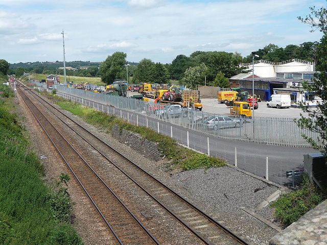
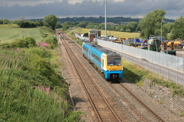
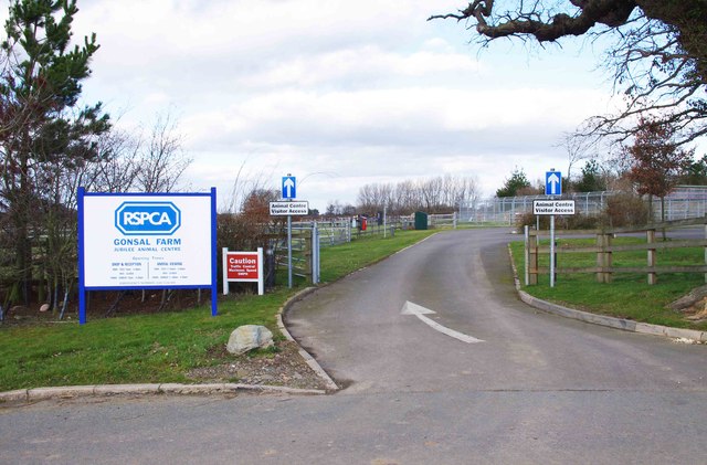
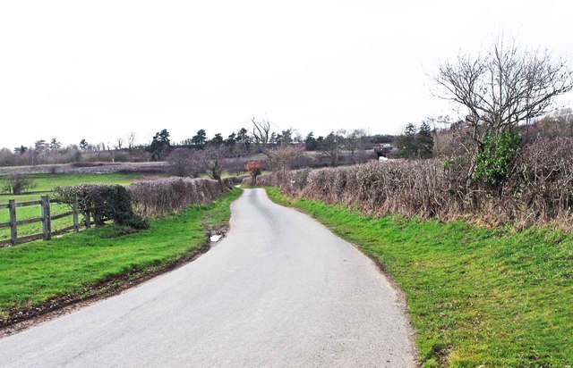
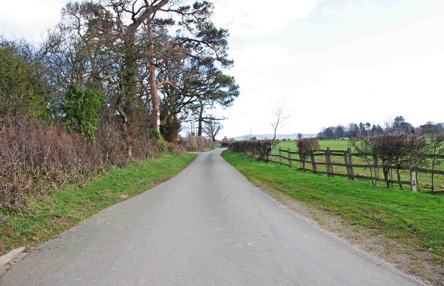
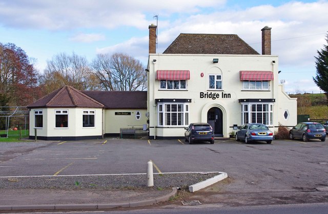
Little Ryton Images

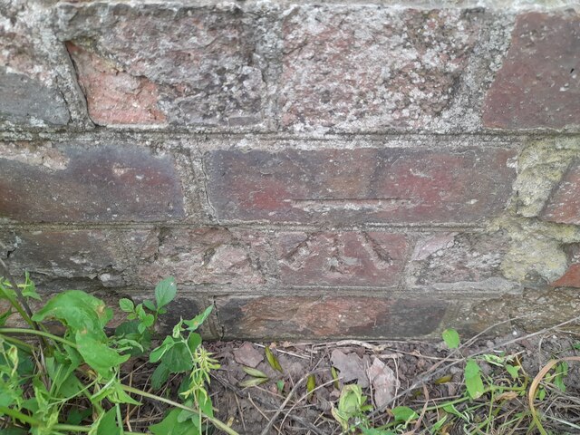
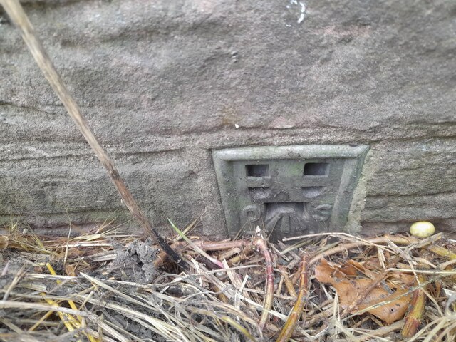
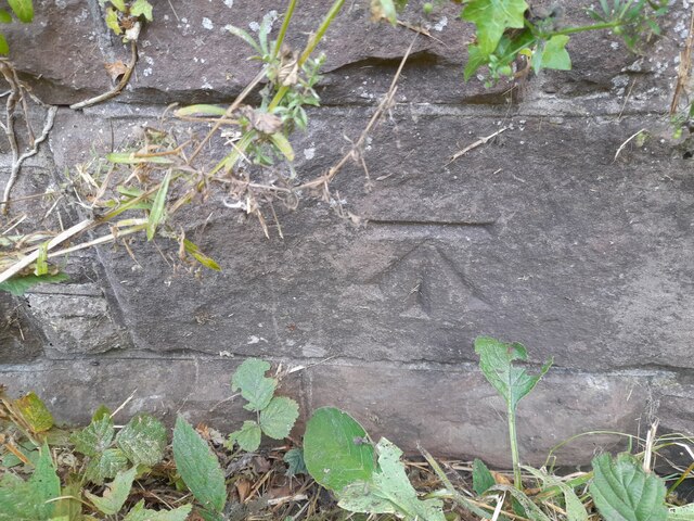
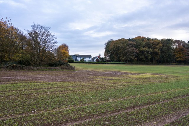
Images are sourced within 2km of 52.623865/-2.753969 or Grid Reference SJ4903. Thanks to Geograph Open Source API. All images are credited.

Gonsal Quarry Sand and gravel quarry to the south of Condover.
Gonsal Quarry
Sand and gravel quarry to the south of Condover.
Ordnance Survey Flush Bracket (2867) This OS Flush Bracket can be found on The Horseshoes Inn. It marks a point 108.810m above mean sea level.
Ordnance Survey Flush Bracket (2867)
This OS Flush Bracket can be found on The Horseshoes Inn. It marks a point 108.810m above mean sea level.
Ordnance Survey Cut Mark This OS cut mark can be found on the NW angle of St Edward's Church. It marks a point 112.058m above mean sea level.
Ordnance Survey Cut Mark
This OS cut mark can be found on the NW angle of St Edward's Church. It marks a point 112.058m above mean sea level.
Ordnance Survey Cut Mark This very worn OS cut mark can be found on the wall SE side of Station Road. It marks a point 110.560m above mean sea level.
Ordnance Survey Cut Mark
This very worn OS cut mark can be found on the wall SE side of Station Road. It marks a point 110.560m above mean sea level.
Ordnance Survey Cut Mark This OS cut mark can be found on the SE parapet of Church Bridge. It marks a point 96.634m above mean sea level.
Ordnance Survey Cut Mark
This OS cut mark can be found on the SE parapet of Church Bridge. It marks a point 96.634m above mean sea level.
Ordnance Survey Cut Mark This OS cut mark can be found on the SE parapet of the railway bridge on Station Road. It marks a point 104.108m above mean sea level.
Ordnance Survey Cut Mark
This OS cut mark can be found on the SE parapet of the railway bridge on Station Road. It marks a point 104.108m above mean sea level.
Ordnance Survey Flush Bracket (2866) This OS Flush Bracket can be found on the NW parapet of Wayford Bridge. It marks a point 94.936m above mean sea level.
Ordnance Survey Flush Bracket (2866)
This OS Flush Bracket can be found on the NW parapet of Wayford Bridge. It marks a point 94.936m above mean sea level.
Ordnance Survey Cut Mark This OS cut mark can be found on the north buttress of the railway bridge. It marks a point 92.778m above mean sea level.
Ordnance Survey Cut Mark
This OS cut mark can be found on the north buttress of the railway bridge. It marks a point 92.778m above mean sea level.
Netherwood, Condover Park Condover Park is an upmarket housing development, at least 25 years old. It is the third most expensive postcode for house prices in Shropshire: <span class="nowrap"><a title="https://web.archive.org/web/20231117102731/https://www.shropshirestar.com/news/local-hubs/bridgnorth/2022/09/06/shropshires-most-expensive-streets-revealed-with-prices-reaching-four-times-the-uk-average/" rel="nofollow ugc noopener" href="https://web.archive.org/web/20231117102731/https://www.shropshirestar.com/news/local-hubs/bridgnorth/2022/09/06/shropshires-most-expensive-streets-revealed-with-prices-reaching-four-times-the-uk-average/">Archive Link</a><img style="margin-left:2px;" alt="External link" title="External link - shift click to open in new window" src="https://s1.geograph.org.uk/img/external.png" width="10" height="10"/></span>

The public footpath crosses this field and then crosses the cul-de-sac through the houses.
Netherwood, Condover Park
Condover Park is an upmarket housing development, at least 25 years old. It is the third most expensive postcode for house prices in Shropshire: Archive LinkExternal link The public footpath crosses this field and then crosses the cul-de-sac through the houses.
Footpath gate
Footpath gate
Lodge and gates near Dorrington The east entrance to Netley Hall. The lodge, dated 1826, is a bit of an oddity, with Gothic details (e.g. tracery on the door) as well as a wooden portico supported by cast iron columns. The impressive wrought iron gates, gate piers and walls are contemporaneous. Grade II listed.
Lodge and gates near Dorrington
The east entrance to Netley Hall. The lodge, dated 1826, is a bit of an oddity, with Gothic details (e.g. tracery on the door) as well as a wooden portico supported by cast iron columns. The impressive wrought iron gates, gate piers and walls are contemporaneous. Grade II listed.
Church Stretton - Shrewsbury railway (1) Taken from a road bridge at Dorrington.
There is a plant hire business on the right.
Similar view from 1993: <a href="https://www.geograph.org.uk/photo/3262436">SJ4703 : Dorrington station site</a>
Church Stretton - Shrewsbury railway (1)
Taken from a road bridge at Dorrington. There is a plant hire business on the right. Similar view from 1993: SJ4703 : Dorrington station site
Passing Dorrington signal box A southbound passenger train passing Dorrington. There was once a station here but nothing now remains of the station platforms.
Passing Dorrington signal box
A southbound passenger train passing Dorrington. There was once a station here but nothing now remains of the station platforms.
Entrance to RSPCA Gonsal Farm Jubilee Animal Centre, near Dorrington This is the entrance to the Royal Society for the Prevention of Cruelty to Animals' Gonsal Farm. The Jubilee Animal Centre is based on this 186 acre site. It houses dogs, cats, horses, rabbits, other small mammals and birds. It prioritizes those which have been neglected or badly treated. Because of demand, it cannot take in all the animals and birds offered to it. The exit is further up the lane, and past that is the Regional HQ of the RSPCA.
Entrance to RSPCA Gonsal Farm Jubilee Animal Centre, near Dorrington
This is the entrance to the Royal Society for the Prevention of Cruelty to Animals' Gonsal Farm. The Jubilee Animal Centre is based on this 186 acre site. It houses dogs, cats, horses, rabbits, other small mammals and birds. It prioritizes those which have been neglected or badly treated. Because of demand, it cannot take in all the animals and birds offered to it. The exit is further up the lane, and past that is the Regional HQ of the RSPCA.
Country lane to Stapleton, near Dorrington In the other direction, this lane leads to the village of Great Ryton, and passes the RSPCA Gonsal Farm premises.
Country lane to Stapleton, near Dorrington
In the other direction, this lane leads to the village of Great Ryton, and passes the RSPCA Gonsal Farm premises.
Country lane to Great Ryton This lane leads to the village of Great Ryton. In the other direction it goes to Stapleton. The road seen in the distance, coming in from the left, is the exit road from the RSPCA's Gonsal Farm.
Country lane to Great Ryton
This lane leads to the village of Great Ryton. In the other direction it goes to Stapleton. The road seen in the distance, coming in from the left, is the exit road from the RSPCA's Gonsal Farm.
Bridge Inn (1) near Dorrington The Bridge Inn is on the A49 road, just north of the village of Dorrington. It has been independently owned since 2004 and serves home-cooked food.

<a href="https://www.geograph.org.uk/photo/2821058">SJ4703 : Bridge Inn (2) - sign, near Dorrington</a>.
Bridge Inn (1) near Dorrington
The Bridge Inn is on the A49 road, just north of the village of Dorrington. It has been independently owned since 2004 and serves home-cooked food. SJ4703 : Bridge Inn (2) - sign, near Dorrington.
Bridge Inn (2) - sign, near Dorrington Presumably the name is because the pub is near Wayford Bridge, which takes the A49 road across Cound Brook, a tributary of the River Severn. 

<a href="https://www.geograph.org.uk/photo/2821030">SJ4703 : Bridge Inn (1) near Dorrington</a>.
Bridge Inn (2) - sign, near Dorrington
Presumably the name is because the pub is near Wayford Bridge, which takes the A49 road across Cound Brook, a tributary of the River Severn. SJ4703 : Bridge Inn (1) near Dorrington.
Show me another place!

Little Ryton is located at Grid Ref: SJ4903 (Lat: 52.623865, Lng: -2.753969)

Unitary Authority: Shropshire

Police Authority: West Mercia

What 3 Words

///withdrew.fidget.fillings. Near Longnor, Shropshire

Related Wikis

Great Ryton

Great Ryton is a small village in Shropshire, England, to the south of Shrewsbury. It is located less than 1 mile (1.6 kilometres) to the northeast of...

Shrewsbury and Atcham

Shrewsbury and Atcham was a local government district with borough status in Shropshire, England, between 1974 and 2009. Shrewsbury was the only town in...

Dorrington railway station

Dorrington railway station was a station in Dorrington, Shropshire, England. The station was opened in 1852 and closed in 1958.On the site of the station...

Dorrington, Shropshire

Dorrington is a large village in Shropshire, England, it is located 6 miles (9.7 km) south of Shrewsbury. The population of the village was estimated as...

Nearby Amenities

Located within 500m of 52.623865,-2.753969
Little Ryton
Place: hamlet
Lat/Long: 52.6245832/-2.7540441
Great Ryton
Place: village
Lat/Long: 52.6276376/-2.7575954
Pub
The Fox Inn
Addr Postcode: SY5 7LS
Food: yes
Website: http://www.shropshirepublichouses.co.uk
Lat/Long: 52.6239154/-2.7548602
Barrier: stile
Lat/Long: 52.6194459/-2.7545347
Give Way
Direction: backward
Lat/Long: 52.6277234/-2.757772
The data included in this document is from www.openstreetmap.org. The data is made available under ODbL.

Have you been to Little Ryton?

Leave your review of Little Ryton below (or comments, questions and feedback).