Bolijack
Bay in Cornwall
England
Bolijack
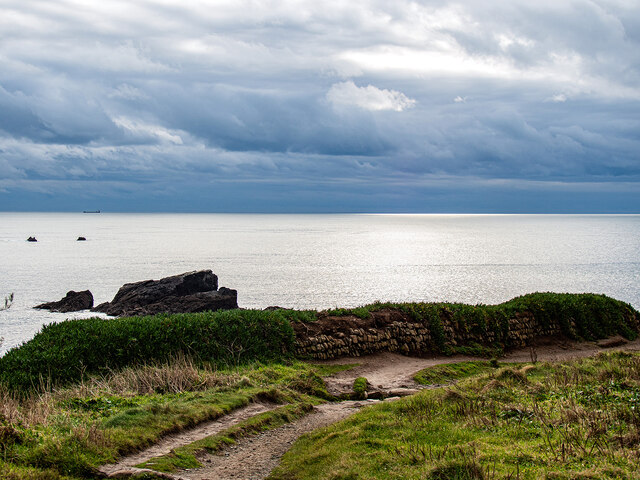
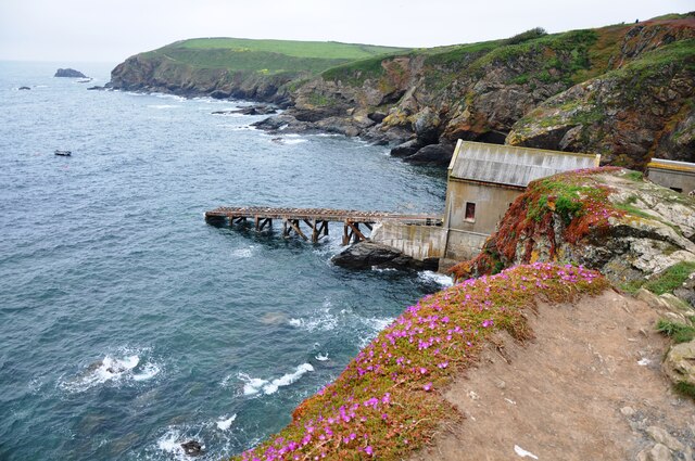
Bolijack Bay, located in Cornwall, is a picturesque coastal area renowned for its natural beauty and rugged charm. Situated on the southwestern coast of England, this unspoiled bay offers visitors an authentic experience of Cornwall's stunning coastline.
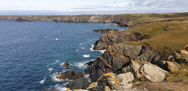
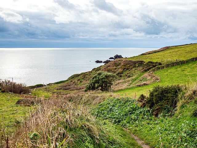
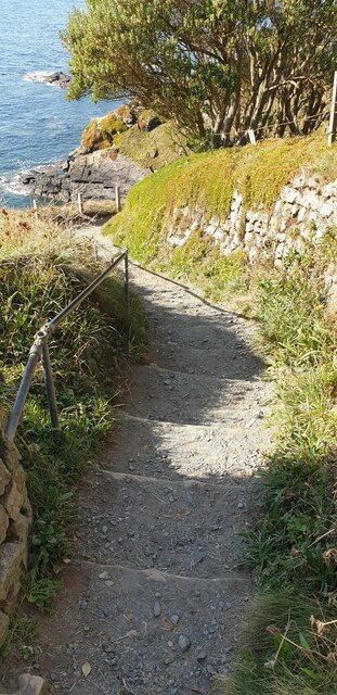
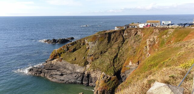
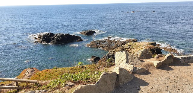
Characterized by its towering cliffs, golden sandy beaches, and crystal-clear waters, Bolijack Bay provides a perfect setting for a peaceful getaway or outdoor adventure. The bay is a popular destination for beachgoers, swimmers, and surfers, with its consistent waves attracting water sports enthusiasts from around the region.
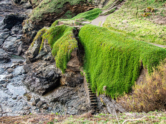
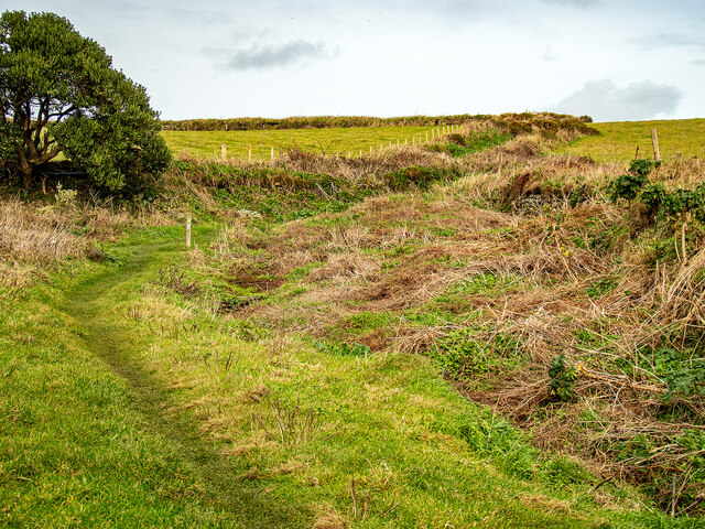
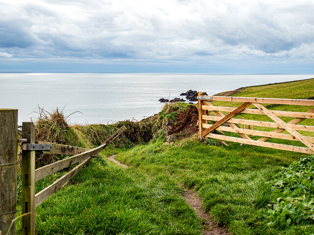
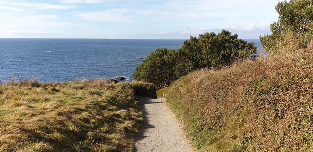
The surrounding landscape is a haven for hikers and nature lovers, offering breathtaking views of the bay and the Atlantic Ocean beyond. Bolijack Bay is part of the Cornwall Area of Outstanding Natural Beauty, ensuring the preservation of its unique flora and fauna.
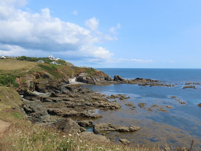
The village of Bolijack, which overlooks the bay, is a charming and historic settlement. Its narrow streets are lined with traditional fishermen's cottages, art galleries, and quaint shops selling local crafts and produce. The village's maritime heritage is evident in its small harbor, which is still used by local fishermen today.
Visitors to Bolijack Bay can explore the nearby attractions, such as the famous Minack Theatre, an open-air amphitheater carved into the cliffs overlooking the sea. The bay is also in close proximity to the Land's End peninsula, offering stunning coastal walks and panoramic views.
Bolijack Bay truly captures the essence of Cornwall's coastal beauty, offering a serene retreat for those seeking a peaceful escape or an active adventure in a mesmerizing natural setting.
If you have any feedback on the listing, please let us know in the comments section below.
Bolijack Images
Images are sourced within 2km of 49.960823/-5.1995521 or Grid Reference SW7011. Thanks to Geograph Open Source API. All images are credited.


Bolijack is located at Grid Ref: SW7011 (Lat: 49.960823, Lng: -5.1995521)
Unitary Authority: Cornwall
Police Authority: Devon and Cornwall
What 3 Words
///texts.amphibian.monopoly. Near Landewednack, Cornwall
Nearby Locations
Related Wikis
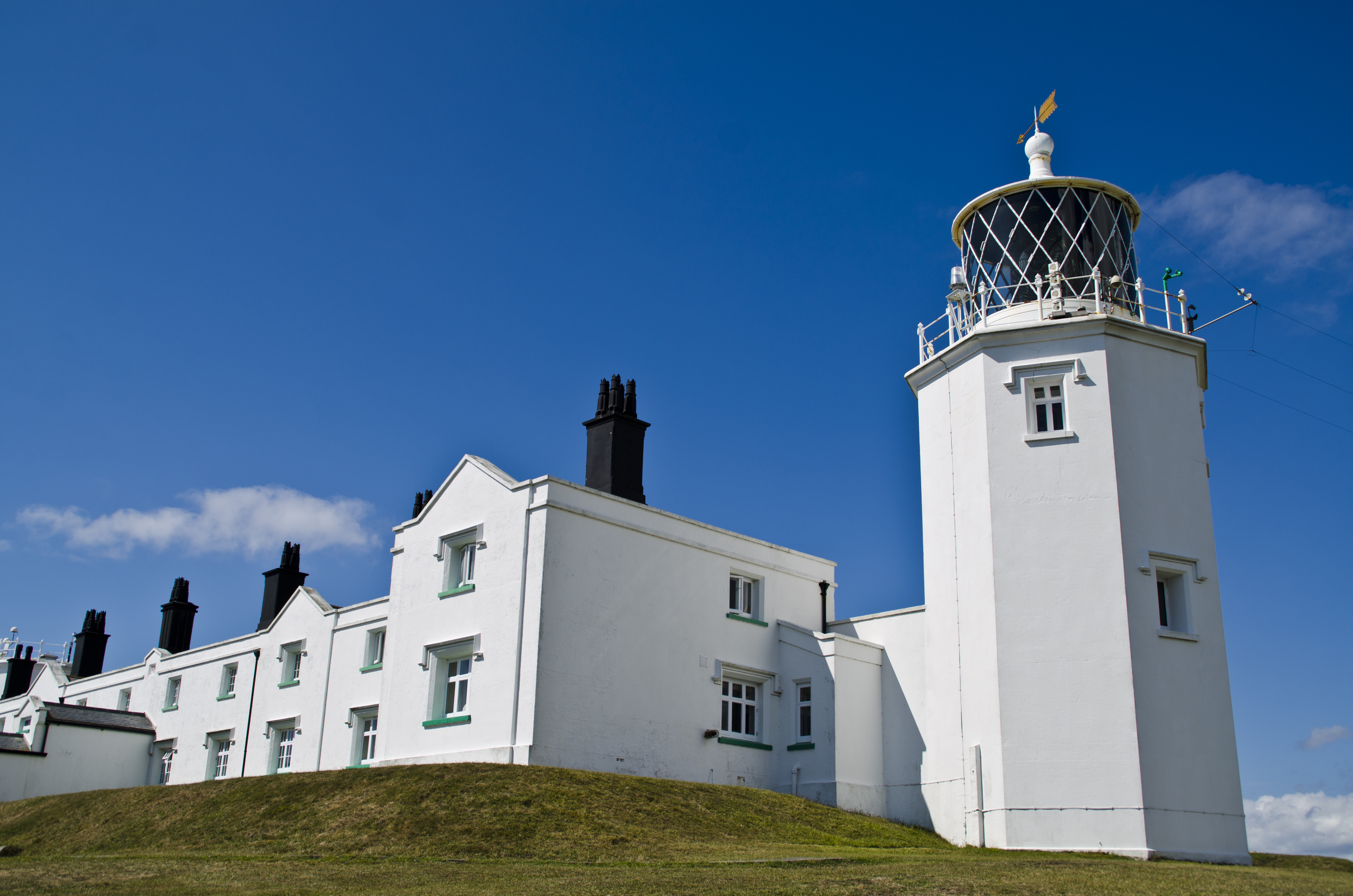
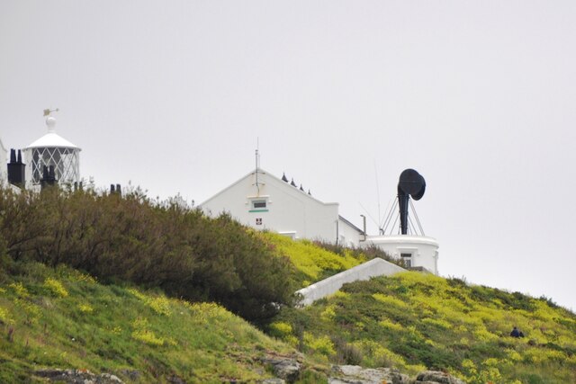
Lizard Lighthouse
The Lizard Lighthouse is a lighthouse at Lizard Point, Cornwall, England, built to guide vessels passing through the English Channel. It was often the...
Lizard Point, Cornwall
Lizard Point (from Cornish an Lysardh 'the high court') in Cornwall is at the southern tip of the Lizard Peninsula. It is situated half-a-mile (800 m...
Lizard (village)
Lizard, also known as The Lizard, is a village on the Lizard peninsula in Cornwall, England, United Kingdom. It is situated about ten miles (16 km) south...

Bass Point (England)
Bass Point is a headland on the coast of Cornwall, England. It is at the southern tip of the Lizard peninsula, in the civil parish of Landewednack. The...

Church Cove
For Church Cove, Gunwalloe, see GunwalloeChurch Cove is a hamlet in the civil parish of Landewednack in Cornwall, England. Its nearest town is Helston...
Battle at The Lizard
The naval Battle of the Lizard (French: Combat du Cap Lézard) took place on 21 October 1707 during the War of the Spanish Succession near Lizard Point...
Landewednack
Landewednack (Cornish: Lanndewynnek) is a civil parish and a hamlet in Cornwall, England, United Kingdom. The hamlet is situated approximately ten miles...
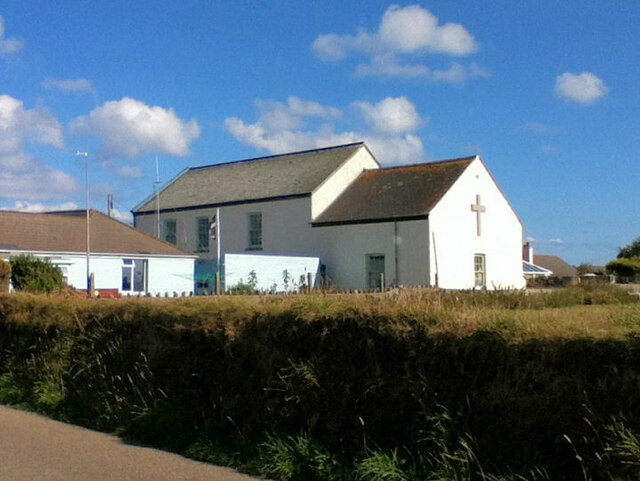
St Wynwallow's Church, Landewednack
St Wynwallow's Church, Landewednack, is the parish church of Landewednack parish in Cornwall, England, United Kingdom. It is the most southerly church...
Nearby Amenities
Located within 500m of 49.960823,-5.1995521Have you been to Bolijack?
Leave your review of Bolijack below (or comments, questions and feedback).