Bay Ogof Hên
Bay in Pembrokeshire
Wales
Bay Ogof Hên
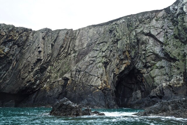
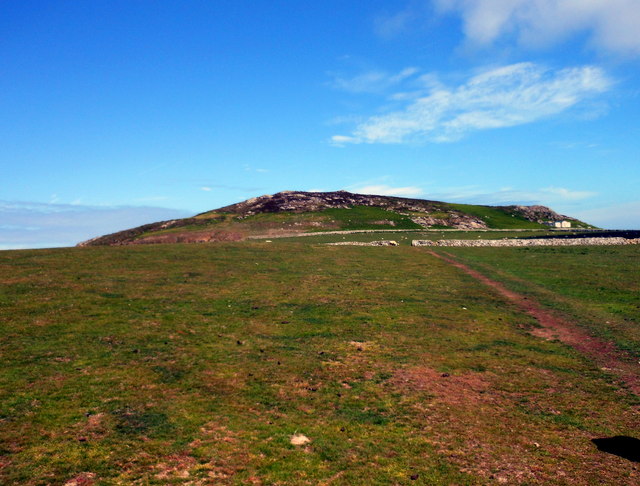
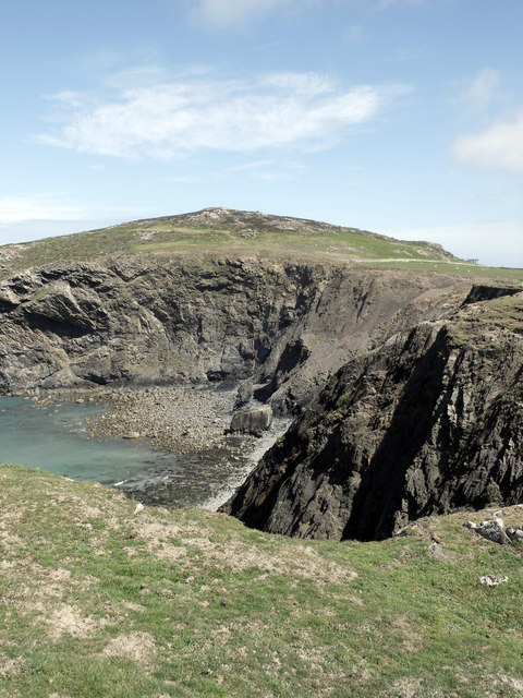
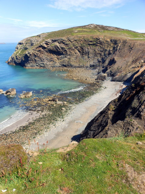
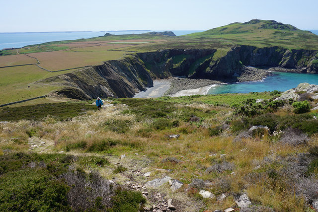
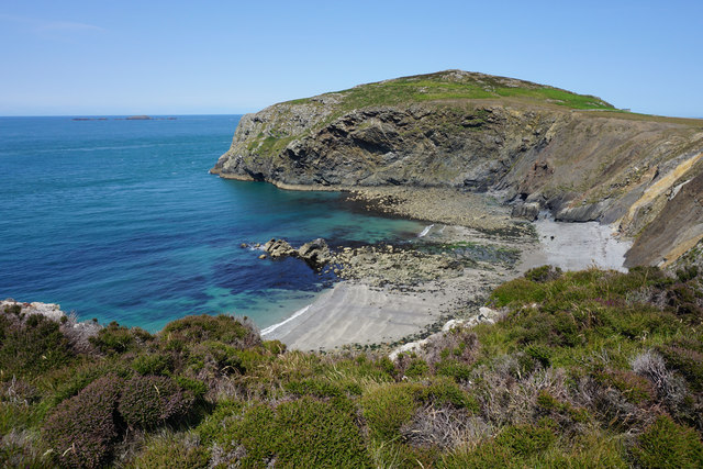
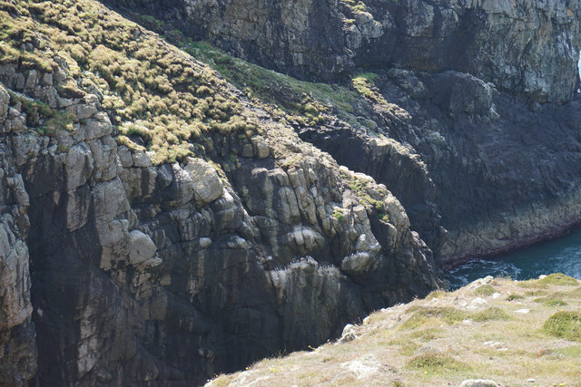
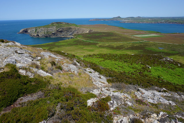
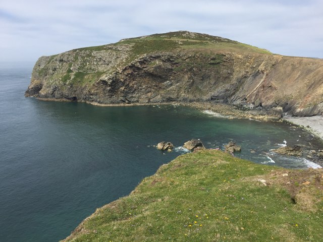
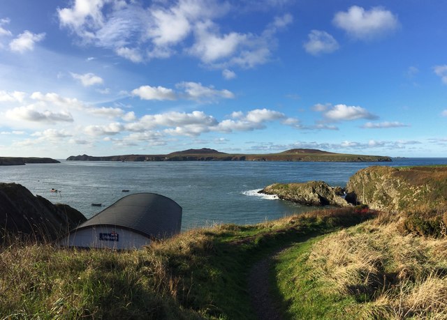
Bay Ogof Hên is a secluded and picturesque bay located on the Pembrokeshire coast in Wales. Surrounded by rugged cliffs and rolling hills, the bay offers stunning views of the Irish Sea and is a popular destination for nature lovers and outdoor enthusiasts.
The bay is known for its pristine sandy beach, crystal-clear waters, and abundant wildlife. Visitors can often spot seals, dolphins, and a variety of bird species in the area. The bay is also home to a number of caves and rock formations, making it a great spot for exploring and adventure.
Bay Ogof Hên is relatively remote and can be accessed by a coastal path or by boat. The lack of facilities and amenities adds to its charm, making it a peaceful and tranquil retreat for those looking to escape the hustle and bustle of city life.
Overall, Bay Ogof Hên is a hidden gem on the Pembrokeshire coast, offering a unique and unspoiled natural environment for visitors to enjoy and appreciate.
If you have any feedback on the listing, please let us know in the comments section below.
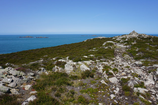
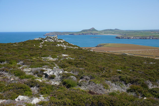
Bay Ogof Hên Images
Images are sourced within 2km of 51.878124/-5.3344188 or Grid Reference SM7025. Thanks to Geograph Open Source API. All images are credited.


![Carnysgubor Boat from St Justinian then a 3 TUMP island circuit on a sunny day, Carnysgubor, Carnllundain and finally Foel Fawr.
Name: Carnysgubor
Hill number: 15531
Height: 101m / 331ft
Parent (Ma/M): none
Section: 31C: South-West Wales
County/UA: Pembrokeshire [Sir Benfro] (CoU)
Island: Ramsey
Maritime Area: Pembrokeshire Coast - West
Class: Tump (100-199m)
Grid ref: SM 69953 24603
Summit feature: cairn
Drop: 51m
Col: 50m SM701243
Observations: rock 10m NE at SM 69960 24611 may be as high](https://s1.geograph.org.uk/geophotos/04/66/14/4661493_6b666b4a.jpg)


Bay Ogof Hên is located at Grid Ref: SM7025 (Lat: 51.878124, Lng: -5.3344188)
Unitary Authority: Pembrokeshire
Police Authority: Dyfed Powys
What 3 Words
///acted.webcams.message. Near St Davids, Pembrokeshire
Nearby Locations
Related Wikis

The Bitches
The Bitches (also known as Bitches and Whelps) are a tidal race and set of rocks between Ramsey Island and the west Welsh coastline near St Davids. They...

St Justinian
St Justinian (or St Justinian's or St Justinians; Welsh: Porth Stinan) is a coastal location of indeterminate area in the extreme northwest of Pembrokeshire...

St Justinian's Chapel
St Justinian's Chapel in Pembrokeshire, Wales, is now a roofless shell; the current structure was probably erected in the 16th century on earlier foundations...
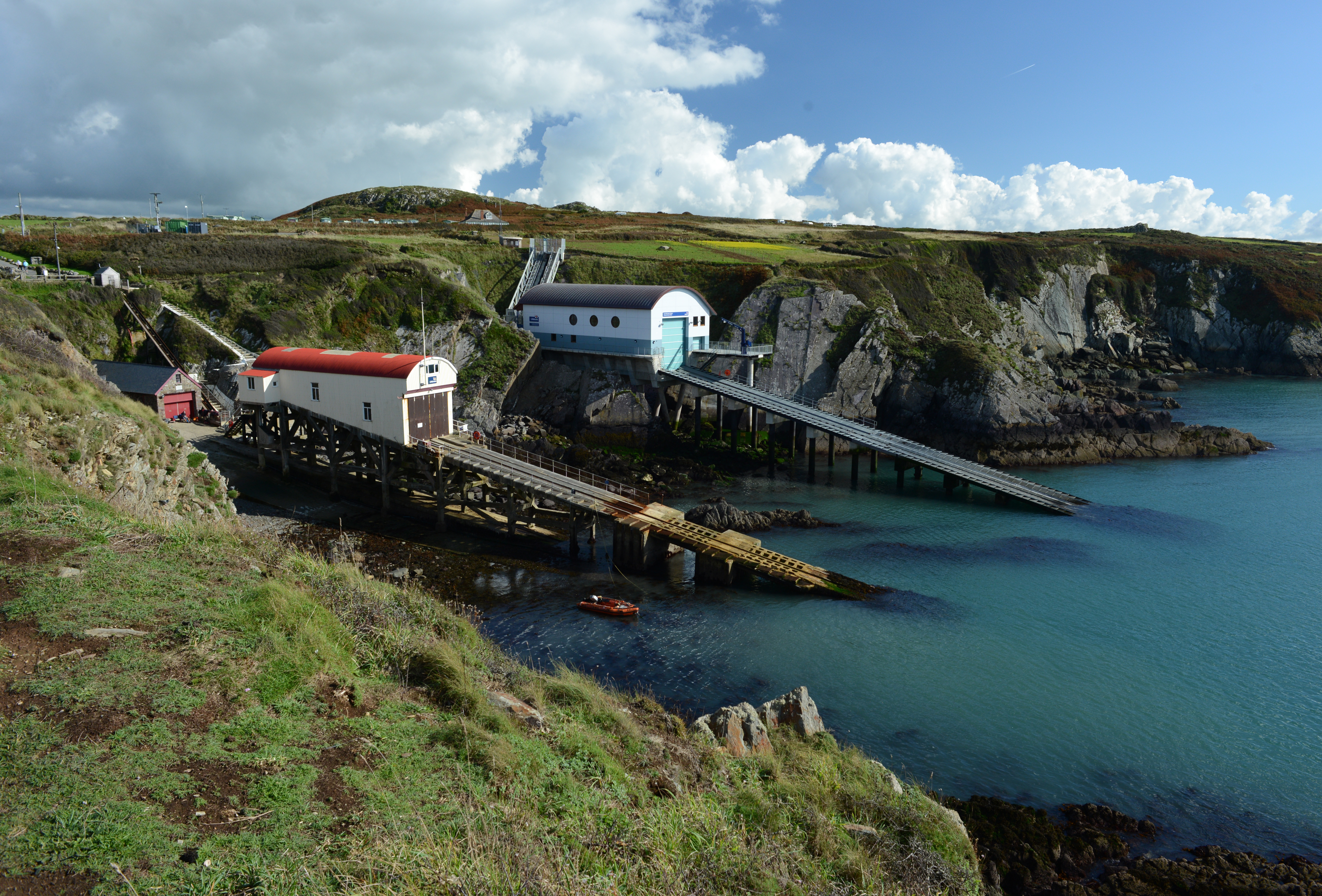
St Davids Lifeboat Station
St Davids Lifeboat Station (based in St Justinian, St Davids, Pembrokeshire, Wales) is a Royal National Lifeboat Institution (RNLI) station. It was opened...
Nearby Amenities
Located within 500m of 51.878124,-5.3344188Have you been to Bay Ogof Hên?
Leave your review of Bay Ogof Hên below (or comments, questions and feedback).